
Opening hours:Today closed
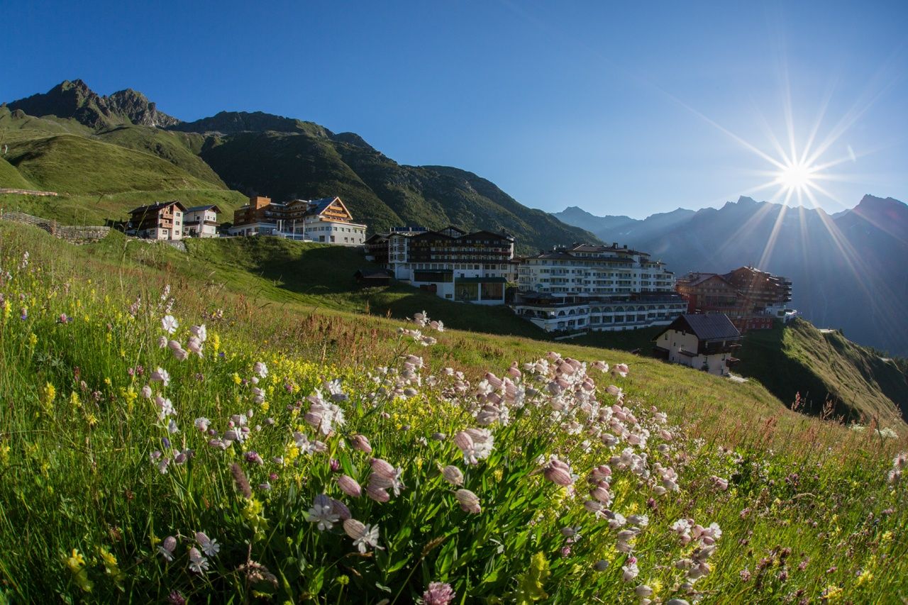
Place:Sölden
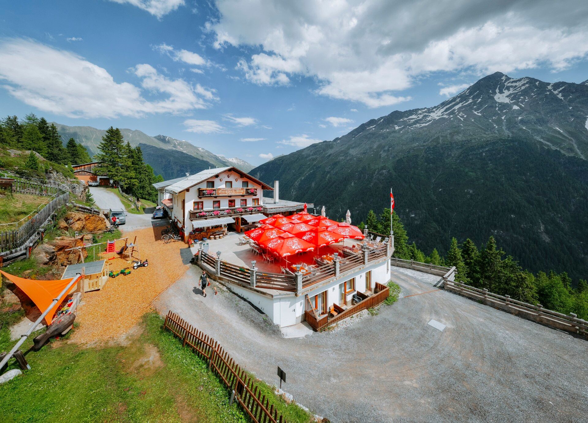
:Restaurant, Alpine pasture / hut / mountain restaurant
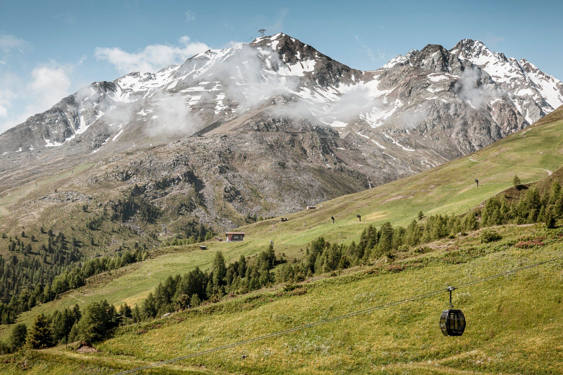
STAGE 8:GAISLACH –> Gampealmen –> Hochsölden –> Maria's Alm–> GRANSTEIN

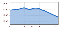
Easy hiking trail; suitable for beginners and walkers. Please pay attention to the current weather report.
Appropriate equipment such as breathable and weather-appropriate outdoor clothing is required for all hikes and routes. Carrying a first-aid kit, a mobile phone, and possibly a hiking map, as well as sufficient provisions for hikes without opportunities to stop for food, is necessary.
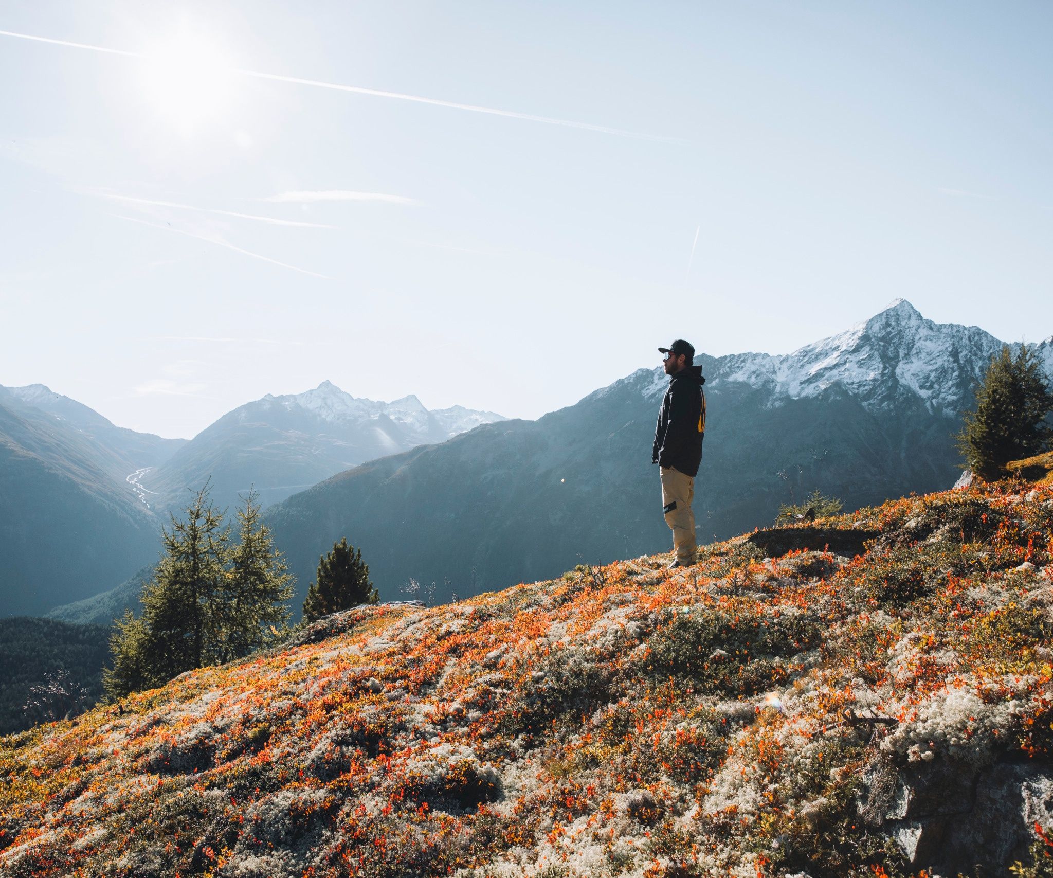
ENJOYABLE ALPINE TIME HIGH ABOVE SÖLDENALMZEIT is a family-themed hiking path that makes the diversity and character of the huts and alpine meadows in the mountains of Sölden tangible and experienceable. A hike from alpine pasture to alpine pasture, a path from time to time. Take your time, stop by, and tell your experiences and discover the many stories these alpine meadows have to tell.Between colorful mountain meadows and ancient stone pine forests, the path always follows the forest boundary. Here, the traces of winter sports are visible; with the right handling, the pastures are now tended. Where skiers meet in winter, the herds now enjoy the peace and graze the strong alpine grasses undisturbed. On the opposite side of the valley, the mountain giants from the Windachtal shine; "Sölden’s quiet side" is close enough to touch from here. Gradually, we move away from the lifts – here foxes and hares still say good night. The view into the valley couldn’t be more impressive, where the glaciated mountain giants blend seamlessly with the lush meadow green and the snaking river course. In the middle, the winter sports and hiking resort Sölden.
Travel comfortably and safely by train to the Ötztal station. The final stop or exit point is the ÖTZTAL train station. Then you can conveniently and quickly travel through the entire valley to your desired destination by public transport or local taxi services.
The current bus schedule is available at: fahrplan.vvt.at
The following parking options are available in Zwieselstein:


