
Opening hours:Open today
Place:Sölden
:Alpine pasture / hut / mountain restaurant
HOCHSÖLDEN -> PEERLERSEE -> GRANSTEIN -> SÖLDEN
Red mountain trails are moderately difficult: some narrow and steep but secured walking and climbing sections await hikers.The relevant signs have a yellow background and show a red circle as difficulty rating.
Moderately difficult mountain trail; suitable for sure-footed and experienced hikers; good physical condition, mountain experience, and mountain equipment (see Equipment) necessary.
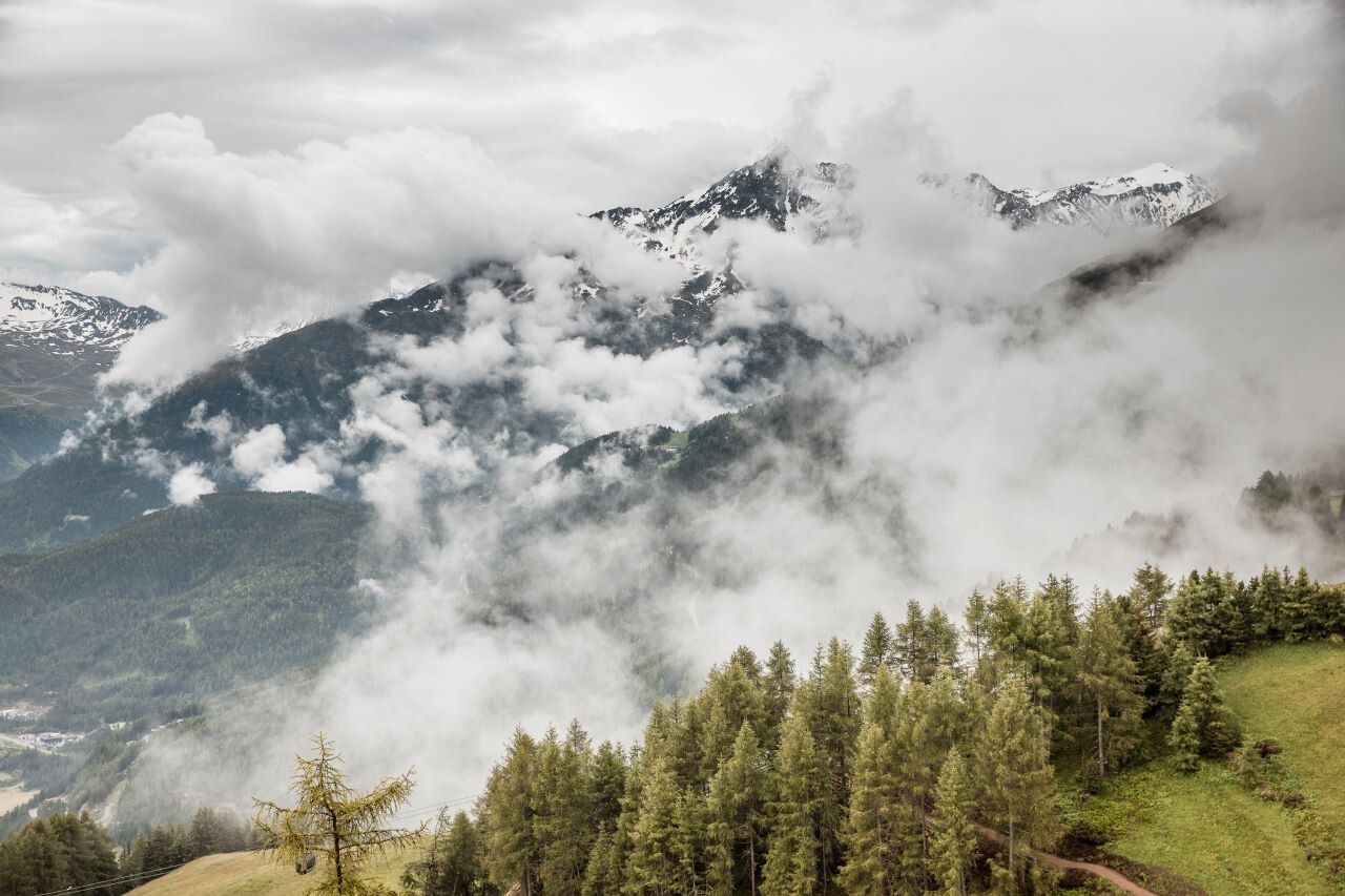
Please check the current weather report at: https://www.oetztal.com/de/sommer.html
Recommended equipment includes breathable and weather-appropriate outdoor clothing, ankle-high hiking boots, wind, rain and sun protection, a hat and possibly gloves! Also important is to bring sufficient food and a first aid kit, a mobile phone and possibly a hiking map.
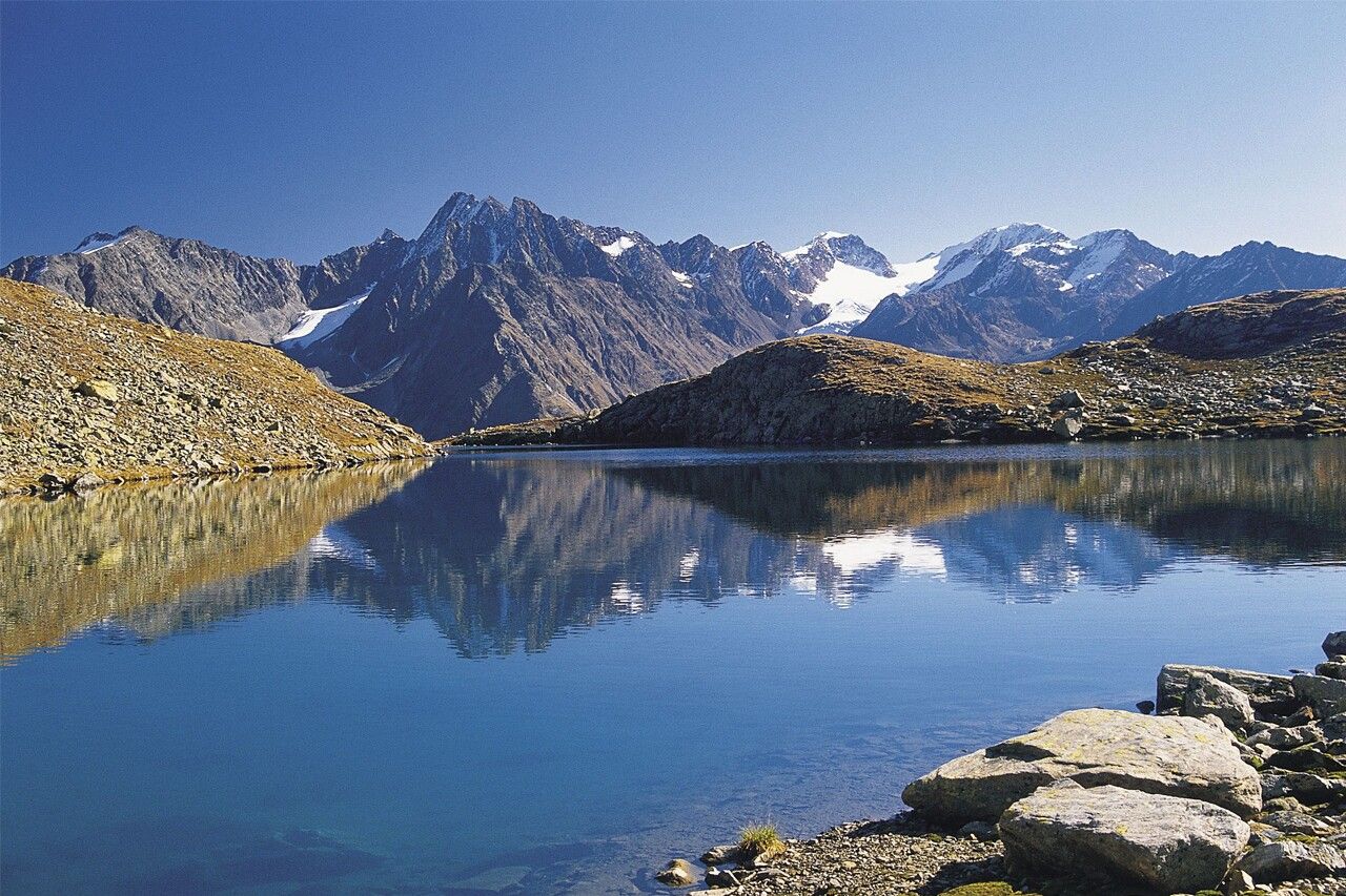
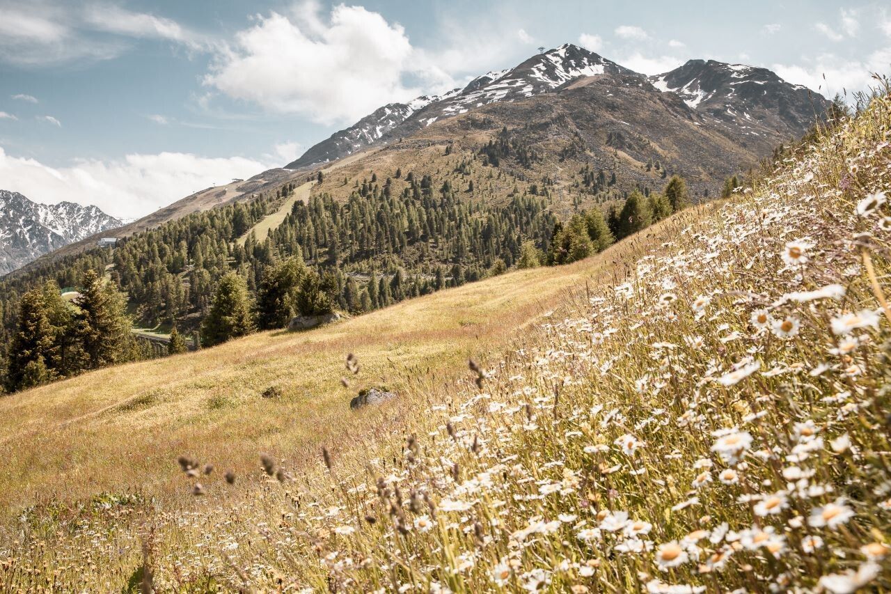
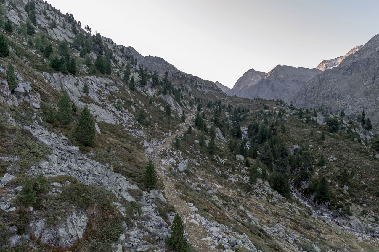
From Hochsölden, the challenging Dr.-Bachmann trail leads over steep, alpine terrain up to the idyllic Peerlersee. During the ascent, an impressive panoramic view opens up over Sölden and the distinctive Nederkogl in the background.
The hike is accompanied by the characteristic whistling of marmots, which live here in large numbers in the high alpine landscape. The untouched nature and the quiet surroundings make this path a special experience – a place you inevitably fall in love with.
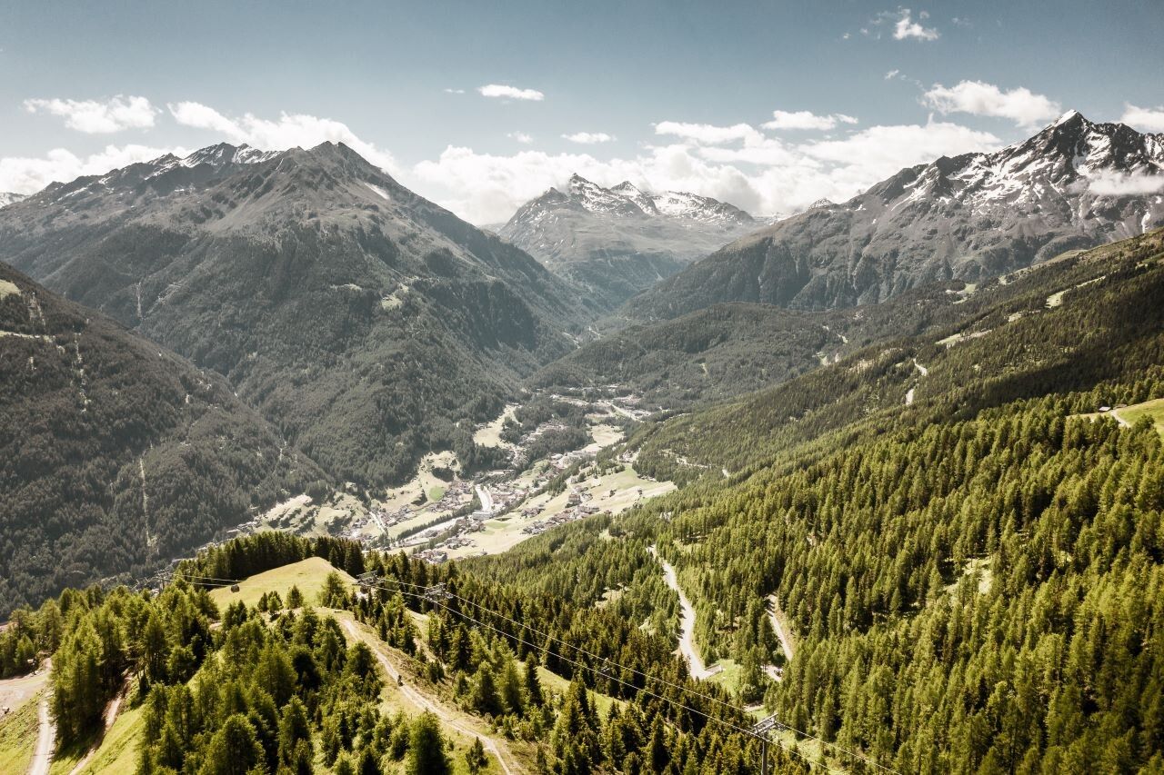
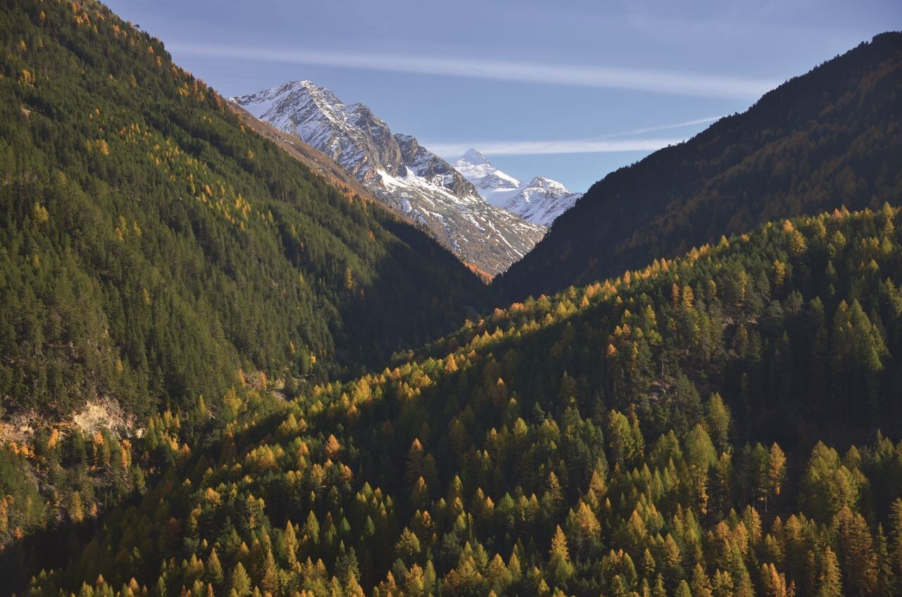
The return path descends over gentle alpine meadows to the small hamlet of Granstein and from there continues down to the valley to Sölden.
Travel comfortably and safely by train to the Ötztal train station. The final stop or exit point is ÖTZTAL station. Afterwards, you can quickly and conveniently travel with public transport or local taxi companies through the valley to your desired destination.
The current bus timetable is available at: http://fahrplan.vvt.at
The following parking options are available in Sölden:
The parking spaces are subject to a fee.
For parking over several days (e.g. hut route):


