Pfunds - Altfinstermünz | accessible

Pfunds / Samnaun Group
Difficulty ratings: difficult
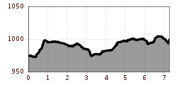
Route length: 7.3 km
Duration: 2:15 h

A leisurely walk along the Via Claudia Augusta from Ried in the Upper Inn Valley to Tösens – perfect for a relaxing break in the valley.
Tour information

  • Requirement: difficult
  • Length: 7.3 km
  • Duration: 2:15 h
  • Elevation uphill:92 hm
  • Elevation downhill:66 hm
Highest point1,012 m

Starting point

Tscheylücke | Pfunds

Finishing point

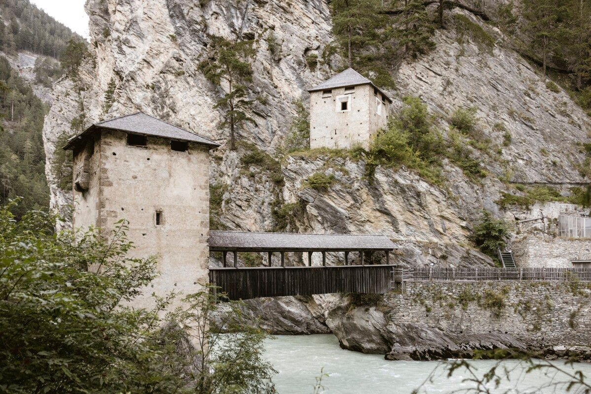
Festung Altfinstermünz | Pfunds
  • Fitness level 4 / 6
  • Technique 4 / 6

Features

  • Wheelchair hike
  • suitable for pushchairs

Best time of year

  • January
  • February
  • March
  • April
  • May
  • June
  • July
  • August
  • September
  • October
  • November
  • December

Trail condition

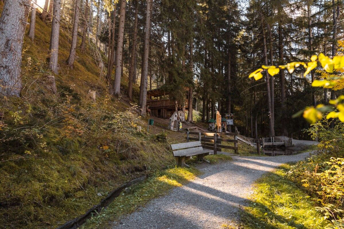
Gravel, tarmac

Equipment

We recommend equipment suitable for the tour and weather conditions, including sturdy shoes, weatherproof clothing, food, and appropriate maps.
Source: TVB Tiroler Oberland

Description

The route runs from the car park at the roundabout to the Altfinstermünz Bridge and has a one-way distance of 7,334 metres (14,668 metres in total for the round trip). It is a round-trip route with a predominantly gentle gradient and short steep sections. The surface consists mainly of fine gravel, supplemented by tarmac and coarse gravel. The path is stable throughout and generally easy to use, with mostly comfortable riding conditions. The route is classified as difficult but is easily manageable, particularly with the appropriate power assis

Getting here

  • Arrival by public transport

    Bus route 210, Pfunds Stuben Church stop;
    bus route 273, Pfunds Stuben Secondary School stop

  • Parking

    Drive to Pfunds, as far as the car park at the roundabout. Car park at the roundabout, free of charge

Weather

Today

light rain
11°C/2°C
85%7.2l5 km/h

Mon

mainly clear
11°C/2°C
5%0l5 km/h

Tue

clear sky
16°C/3°C
0%0l5 km/h
Go to weather forecast

More tours in the surrounding area

  • Talwanderweg Kaunertal

    Difficulty:easy
    Duration:2:30 hElevation uphill:295 m
  • Kaunerberger Wasserweg

    Opening hours:open
    Difficulty:medium
    Length:15.2 kmDuration:6:00 hElevation uphill:935 m
  • Sternenweg im Gepatsch

    Difficulty:medium
    Length:4.0 kmDuration:1:30 hElevation uphill:202 m
  • Rolli-Wanderung Aifner Alm

    Difficulty:medium
    Length:6.0 kmDuration:2:30 hElevation uphill:460 m
  • Rolli-Wanderung Nassereinalm

    Difficulty:medium
    Length:5.5 kmDuration:1:45 hElevation uphill:269 m
  • Rolli-Wanderung Gepatschhaus

    Length:8.5 kmDuration:1:45 hElevation uphill:156 m
  • Rolli-Wanderung Falkaunsalm

    Difficulty:medium
    Length:4.5 kmDuration:1:45 hElevation uphill:392 m
  • Großer Mutzkopf

    Opening hours:closed
    Difficulty:easy
    Length:10.3 kmDuration:4:00 hElevation uphill:507 m
  • Hohe Aifnerspitze (2.779 m)

    Difficulty:medium
    Length:7.2 kmDuration:5:15 hElevation uphill:815 m
  • Gletscherlehrpfad Gepatschferner

    Difficulty:medium
    Length:8.4 kmDuration:3:45 hElevation uphill:400 m
  • Radurschlklamm Gorge

    Opening hours:open
    Difficulty:medium
    Length:7.5 kmDuration:3:20 hElevation uphill:442 m
  • Rundwanderung Frudiger

    Difficulty:medium
    Length:13.5 kmDuration:4:55 hElevation uphill:588 m
  • Kapelle Maria Schnee

    Difficulty:easy
    Length:1.7 kmDuration:0:30 hElevation uphill:90 m
  • Verpeilschlucht

    Opening hours:open
    Difficulty:medium
    Length:4.9 kmDuration:3:00 hElevation uphill:386 m
  • Ötztal Trek Stage 15

    Difficulty:difficult
    Length:6.5 kmDuration:2:30 hElevation uphill:332 m
Newsletter

The mountain is calling? So does our newsletter!

In our monthly newsletter we reveal the best holiday tips for Tyrol.