Pfunds - Altfinstermünz | Via Claudia Augusta

Pfunds / Samnaun Group
Difficulty ratings: easy
Route length: 7.3 km
Duration: 2:00 h

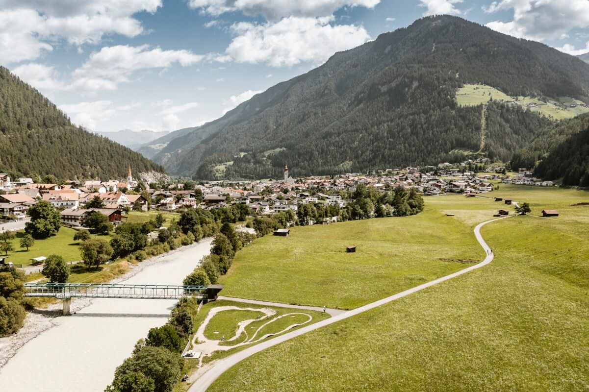
Enjoyable hike with scenic views and a rich nature experience from the Finstermünz Gorge to Pfunds.
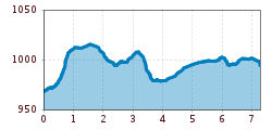
Tour information

  • Requirement: easy
  • Length: 7.3 km
  • Duration: 2:00 h
  • Elevation uphill:103 hm
  • Elevation downhill:77 hm
Highest point1,021 m

Starting point

Infobüro | Pfunds

Finishing point

Festung Altfinstermünz | Pfunds
  • Fitness level 1 / 6
  • Technique 2 / 6

Features

  • Suitable for families

Best time of year

  • January
  • February
  • March
  • April
  • May
  • June
  • July
  • August
  • September
  • October
  • November
  • December

Trail condition

Forest road, trail, road

Equipment

We recommend equipment suitable for the tour and weather conditions, including sturdy shoes, weatherproof clothing, food, and appropriate maps.
Source: TVB Tiroler Oberland

Description

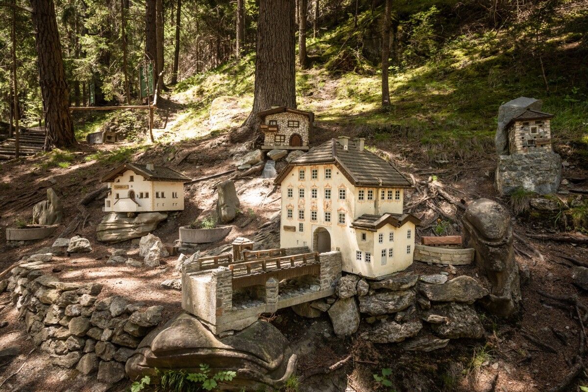
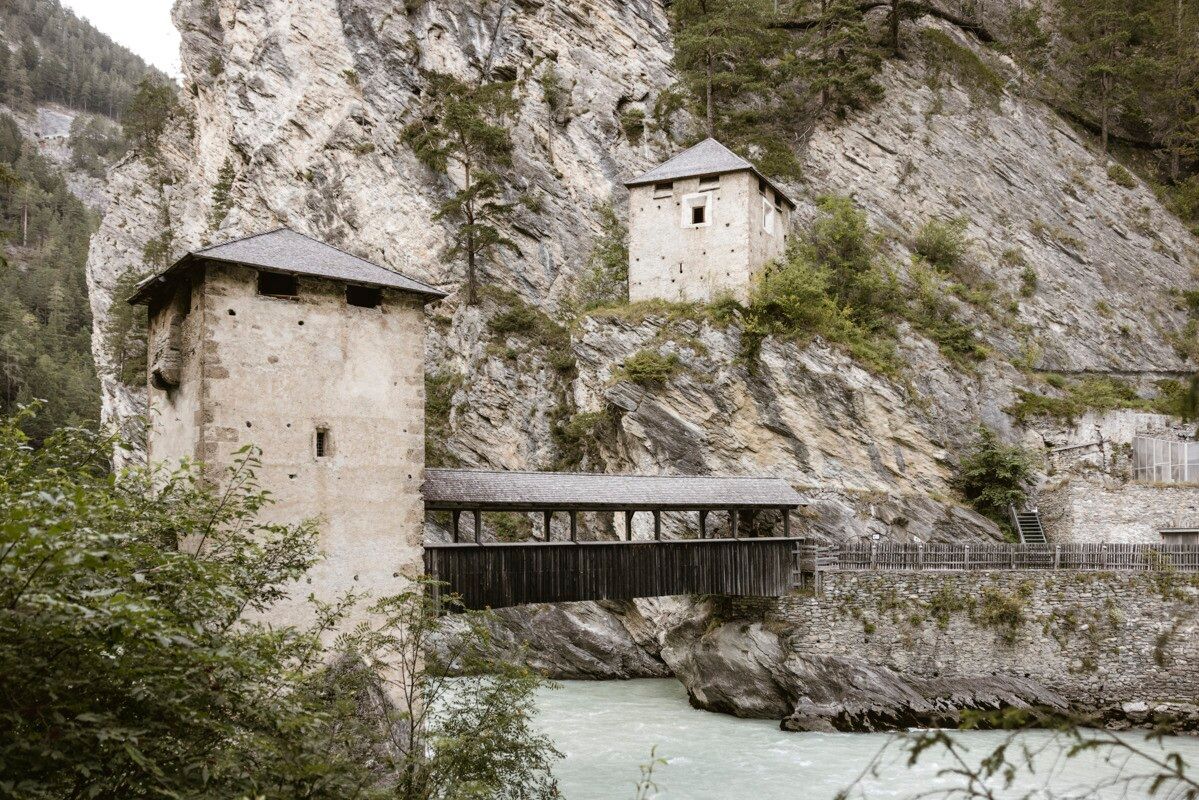
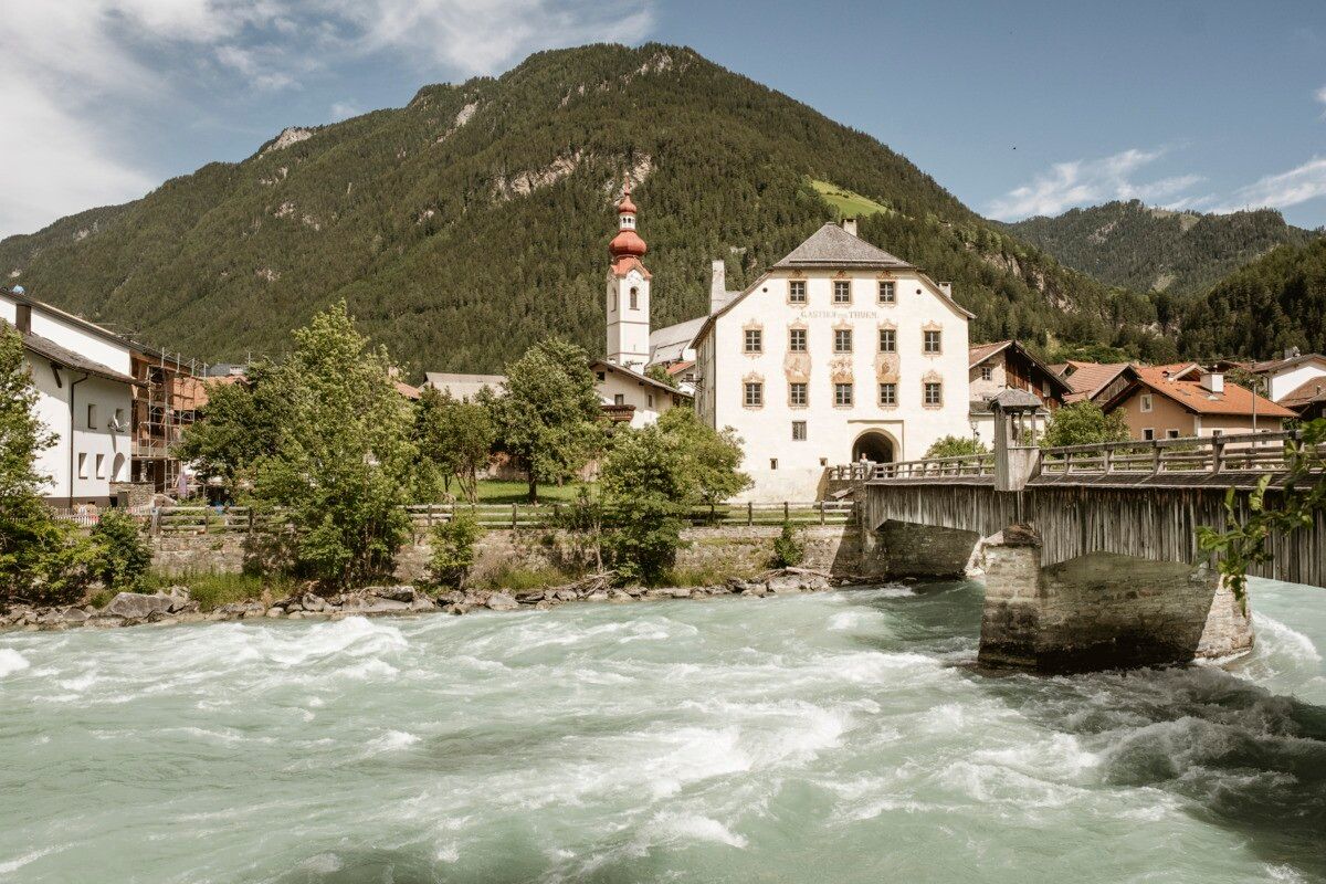
The hike starts at the tourist information office in Pfunds and leads towards Kobl to the junction Kobl/Wand. From there, the route follows the Kobler Weg, and after about 60 metres a forest path is reached, offering wonderful views over Pfunds. The trail continues along a forest educational path established by the Austrian Alpine Club (ÖAV) section Pfunds/Nauders and soon passes a fountain with excellent spring water. In this area, lovingly crafted miniature houses – known as “Mini Fundus” – have been created by local retirees, providing charming highlights along the way. The route then passes a Kneipp facility before continuing towards Kajetansbrücke. Here, the main road is crossed and the “Via Claudia” signs are followed. Just before the bridge, the path descends to the Inn River, where a marked forest trail runs alongside the river to the Schalklhof. From there, it is just over one kilometre to the historic border fortress of Altfinstermünz. The hike then continues through the impressive Finstermünz gorge.

Getting here

  • Arrival by public transport

    Line 210, Bus stop Pfunds Stuben Kirche
    Line 273, Bus stop Pfunds Stuben Mittelschule

  • Parking

    Parking area Ensplatz, free of charge

Weather

Today

partly Cloudy
18°C/8°C
55%0.6l5 km/h

Sat

clear sky
21°C/6°C
0%0l5 km/h

Sun

mainly clear
22°C/8°C
35%0.9l5 km/h
Go to weather forecast

More tours in the surrounding area

  • Großer Mutzkopf

    Opening hours:closed
    Difficulty:easy
    Length:10.3 kmDuration:4:00 hElevation uphill:507 m
  • Ötztal Trek Stage 15

    Difficulty:difficult
    Length:6.5 kmDuration:2:30 hElevation uphill:332 m
  • Rolli-Wanderung Aifner Alm

    Difficulty:medium
    Length:6.0 kmDuration:2:30 hElevation uphill:460 m
  • Rolli-Wanderung Nassereinalm

    Difficulty:medium
    Length:5.5 kmDuration:1:45 hElevation uphill:269 m
  • Rolli-Wanderung Gepatschhaus

    Length:8.5 kmDuration:1:45 hElevation uphill:156 m
  • Rolli-Wanderung Falkaunsalm

    Difficulty:medium
    Length:4.5 kmDuration:1:45 hElevation uphill:392 m
  • Talwanderweg Kaunertal

    Difficulty:easy
    Duration:2:30 hElevation uphill:295 m
  • Kaunerberger Wasserweg

    Opening hours:closed
    Difficulty:medium
    Length:15.2 kmDuration:6:00 hElevation uphill:935 m
  • Gletscherlehrpfad Gepatschferner

    Difficulty:medium
    Length:8.4 kmDuration:3:45 hElevation uphill:400 m
  • Hohe Aifnerspitze (2.779 m)

    Difficulty:medium
    Length:7.2 kmDuration:5:15 hElevation uphill:815 m
  • Kapelle Maria Schnee

    Difficulty:easy
    Length:1.7 kmDuration:0:30 hElevation uphill:90 m
  • Radurschlklamm Gorge

    Opening hours:open
    Difficulty:medium
    Length:7.5 kmDuration:3:20 hElevation uphill:442 m
  • Rundwanderung Frudiger

    Difficulty:medium
    Length:13.5 kmDuration:4:55 hElevation uphill:588 m
  • Verpeilschlucht

    Opening hours:open
    Difficulty:medium
    Duration:3:00 hElevation uphill:386 m
Newsletter

The mountain is calling? So does our newsletter!

In our monthly newsletter we reveal the best holiday tips for Tyrol.