
Opening hours:Today closed
Place:
Sölden/Zwieselstein
:
Alpine pasture / hut / mountain restaurant
ZWIESELSTEIN BRIDGE/GURGLER CREEK -> SAHNESTÜBERL
This hike to the Sahnestüberl is a popular and leisurely trail above Zwieselstein – ideal for nature lovers, families, and anyone looking for a short yet scenic alpine route.
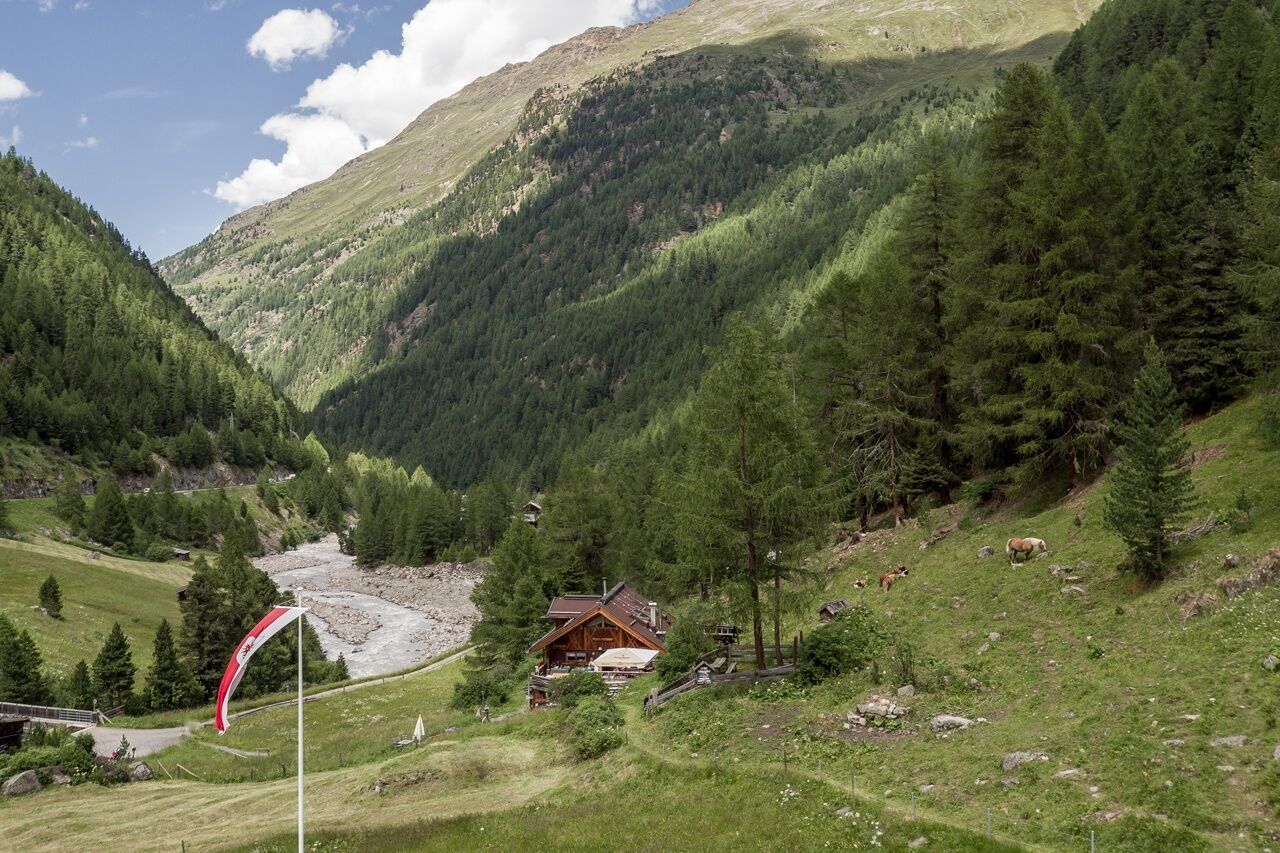
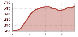
The trail begins in the village center of Zwieselstein (1,451 m), near the bridge over the Gurgler Ache. From there, a well-maintained forest road leads uphill in several gentle switchbacks through a peaceful wooded area.
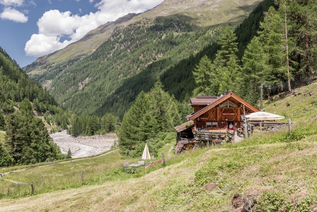
After the initial climb, the trail becomes easier and more gradual, offering wonderful views over the Ötztal valley and surrounding mountains. Along the way, you’ll pass a small waterfall – a refreshing highlight, especially on warm summer days.
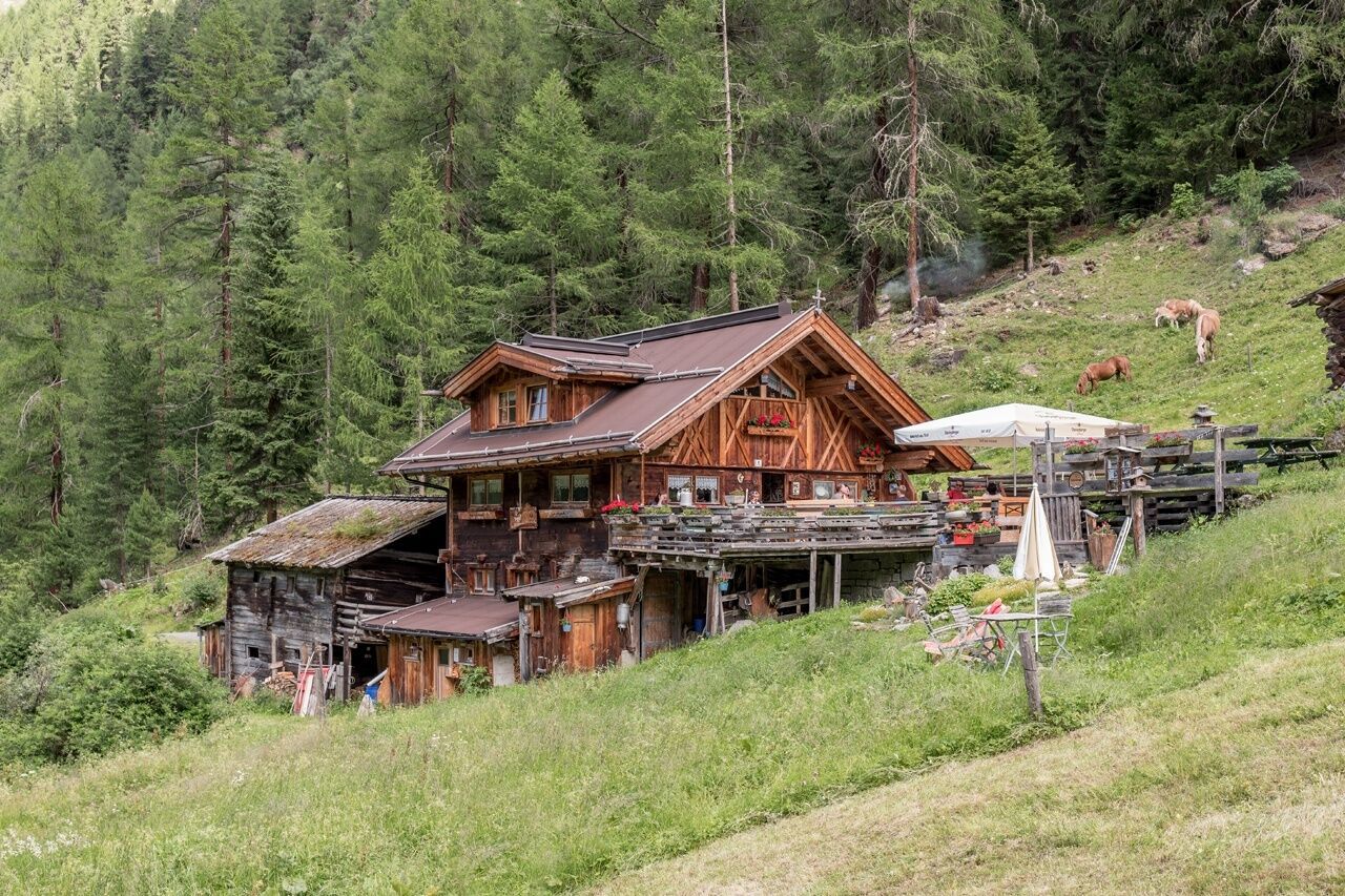
After about 1 to 1.5 hours of walking, you’ll reach the cozy Sahnestüberl hut at 1,650 m elevation. This rustic alpine hut is known for its homemade Tyrolean dishes, sun terrace, and warm hospitality – the perfect place to rest and recharge.
Travel safe and comfortable with the train to the Ötztal Bahnhof train station. Last stop and exit point is the train station Ötztal Bahnhof. Afterwards you can travel smoothly and quick with the public transport or our local taxi companies through the valley to your desired destination. Please find the current bus timetable here: http://fahrplan.vvt.at
The following parking facilities are available in Zwieselstein:


