Mountain hikes Sautens - AREA 47

Sautens / Stubaier Alpen
Difficulty ratings: easy
Route length: 3.8 km
Duration: 1:00 h

SAUTENS -> Au -> Brunau -> AREA 47

Tour information

  • Requirement: easy
  • Length: 3.8 km
  • Duration: 1:00 h
  • Elevation uphill:7 hm
  • Elevation downhill:60 hm
Highest point800 m

Starting point

Sautens

Finishing point

Area 47
  • Fitness level 1 / 6

Best time of year

  • January
  • February
  • March
  • April
  • May
  • June
  • July
  • August
  • September
  • October
  • November
  • December

Equipment

Easy hiking trail; suitable for beginners and walkers. Please check the current weather report at: www.oetztal.com/de/sommer.html Appropriate equipment such as breathable and weather-appropriate outdoor clothing, ankle-high hiking boots, wind, rain, and sun protection, a hat, and possibly gloves are required for all hikes and routes. Carrying a first aid kit, a mobile phone, and possibly a hiking map, as well as sufficient provisions for hikes without dining options, is necessary.
Source: Ötztal

Description

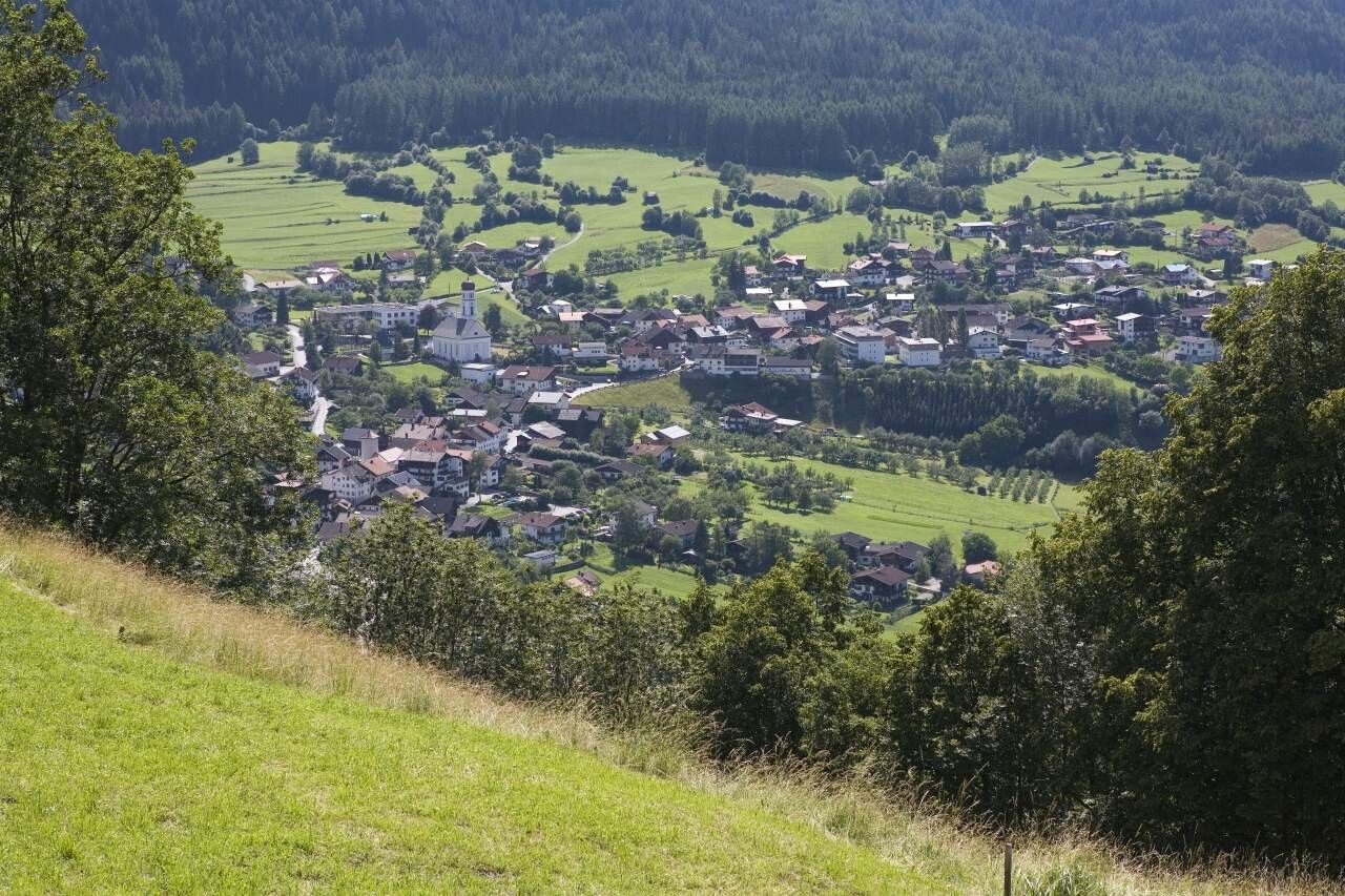
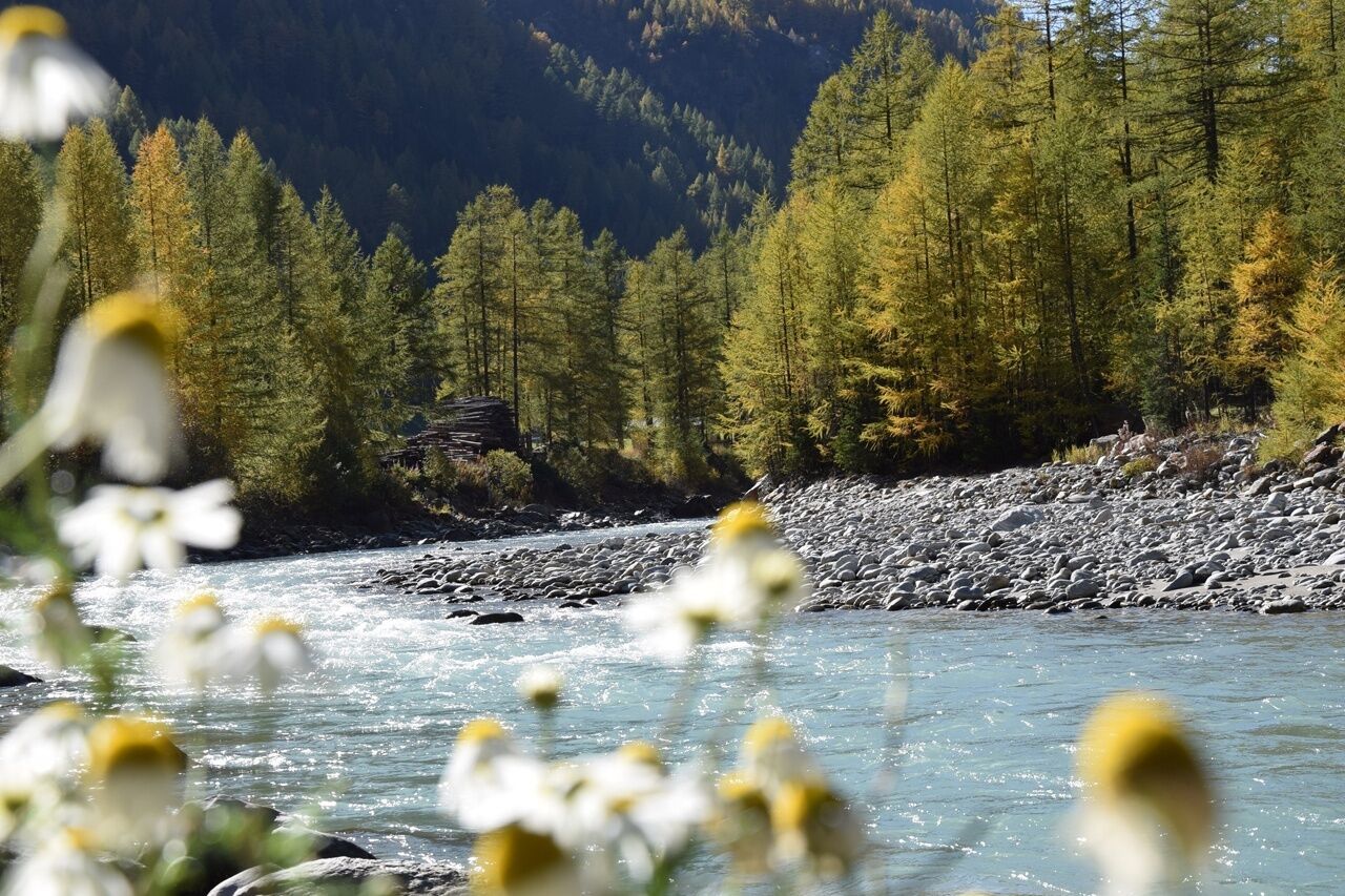
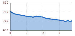
The hike starts at the beginning of Sautens, immediately after the bridge to the right at the swimming pool/leisure center. From there, you walk down an asphalted path to the Ötztaler Ache and follow the river past the recycling yard and the hamlet Au. Cross the Ache via a bridge and arrive in the hamlet Brunau. There, stay at the edge of the forest and meadows and follow a gravel path that eventually leads to the asphalt driveway to AREA 47.

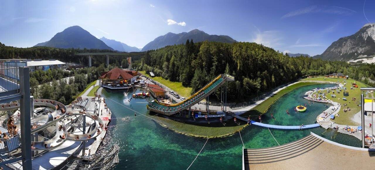
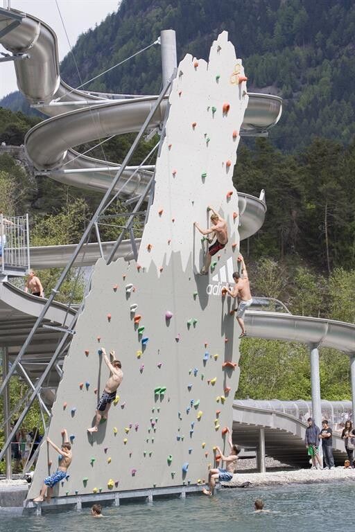
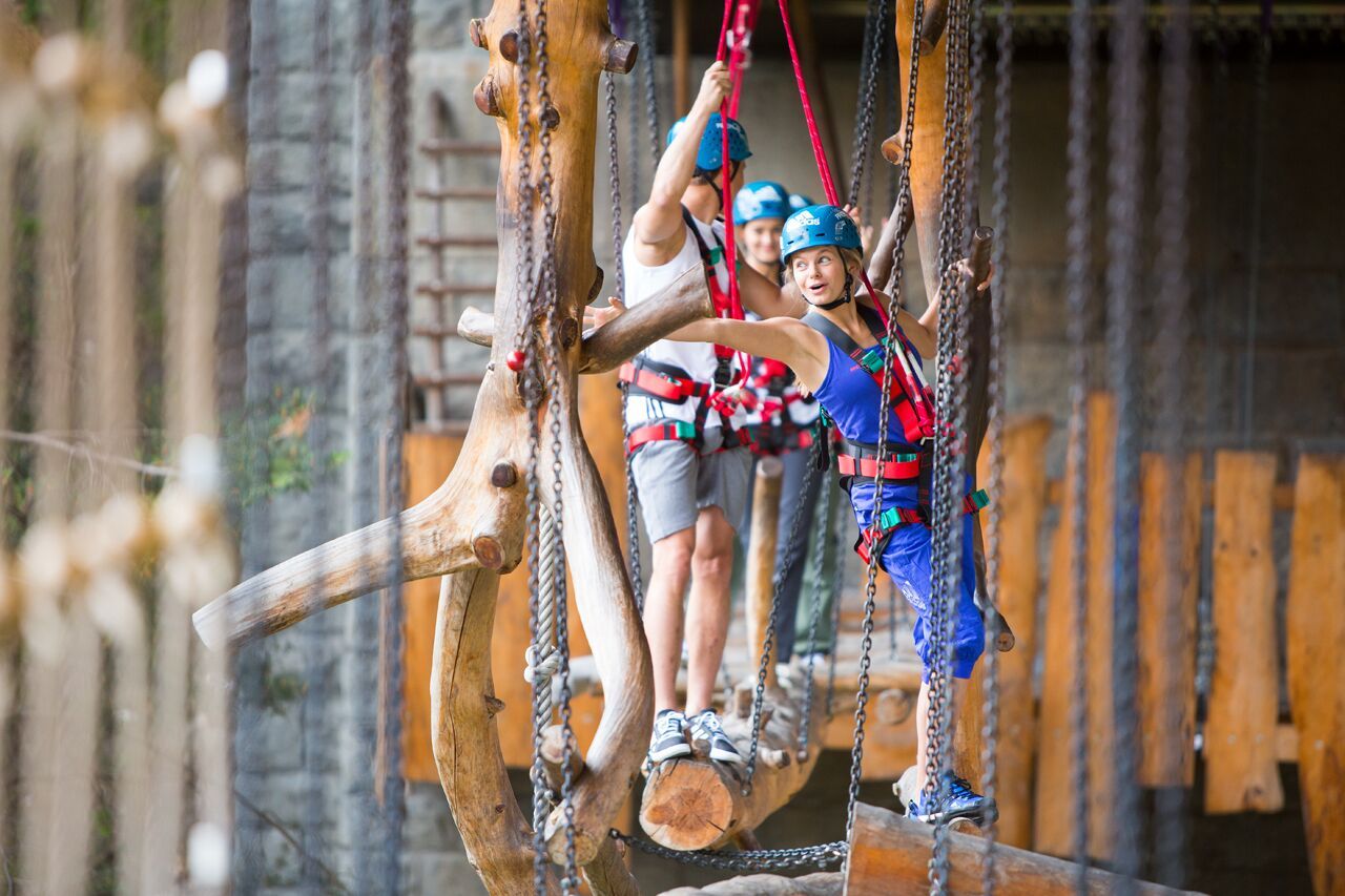
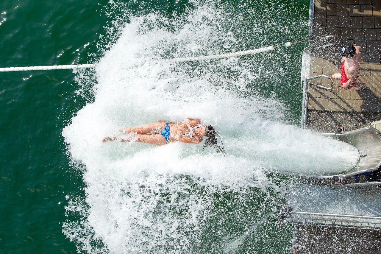
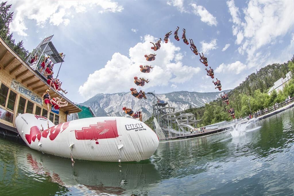
AREA 47 is the largest outdoor adventure park in Austria, offering plenty of fun and action for adrenaline junkies. Whether in the Water Area with a bathing lake, blobbing, and slide tower, or on the wild water with rafting or canyoning. You can also climb high in the ropes course about 27m above the ground or try the Mega Swing. There is the right sport for everyone.


Getting here

  • Arrival by public transport

    Travel comfortably and safely by train to the Ötztal train station. The final station or exit point is ÖTZTAL station. Afterwards, travel conveniently and quickly with public regional transport or local taxi companies through the entire valley to your desired destination! The current bus timetable is available at: http://fahrplan.vvt.at

  • Parking

    Parking options available:

    • immediately after the bridge turn right onto the large gravel parking lot - free of charge

More tours in the surrounding area

Newsletter

The mountain is calling? So does our newsletter!

In our monthly newsletter we reveal the best holiday tips for Tyrol.