
Opening hours:Open today
Place:Oetz
:Restaurant
SAUTENS -> Wiesenweg Beerweg -> Weller Bridge -> Piburger See -> Seejöchl -> Haderlehn -> SAUTENS

Easy hiking trail; suitable for beginners and walkers. Please check the current weather report at: www.oetztal.com/de/sommer.html
Appropriate equipment such as breathable and weather-appropriate outdoor clothing, ankle-high hiking boots, wind, rain, and sun protection, a cap, and possibly gloves, is required for all hikes and routes. Bringing a first aid kit, a mobile phone, and possibly a hiking map, as well as sufficient provisions for hikes without a place to stop, is necessary.
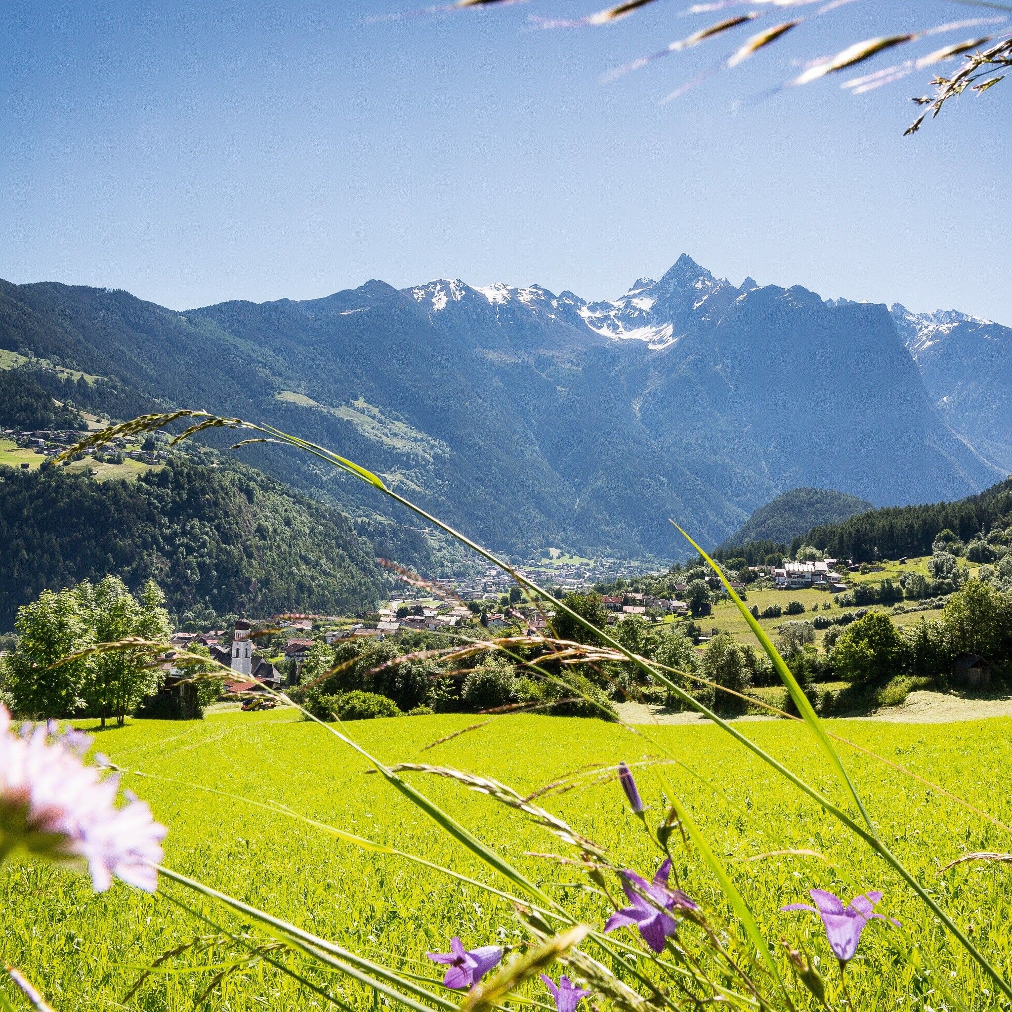
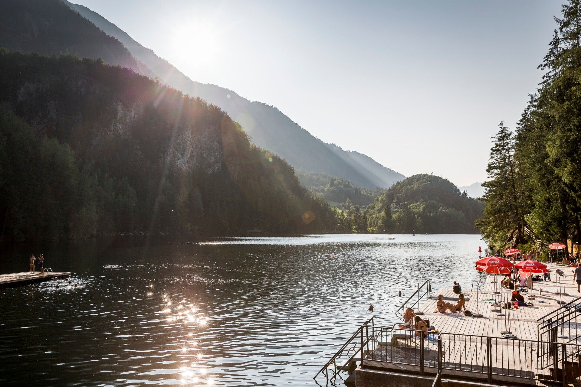
The idyllic Achstürze-Piburger See nature reserve was formed by a massive landslide after the last ice age. The hike leads from Sautens along the Ötztaler Ache to the "wild waters", the impressive "Achstürze". The Ache is crossed via the adventurous Weller Bridge and through a wildly rugged "fairy tale forest" with huge landslide blocks up to the natural jewel Piburger See. The return route can be taken via the Seejöchl to Haderlehn back to Sautens.
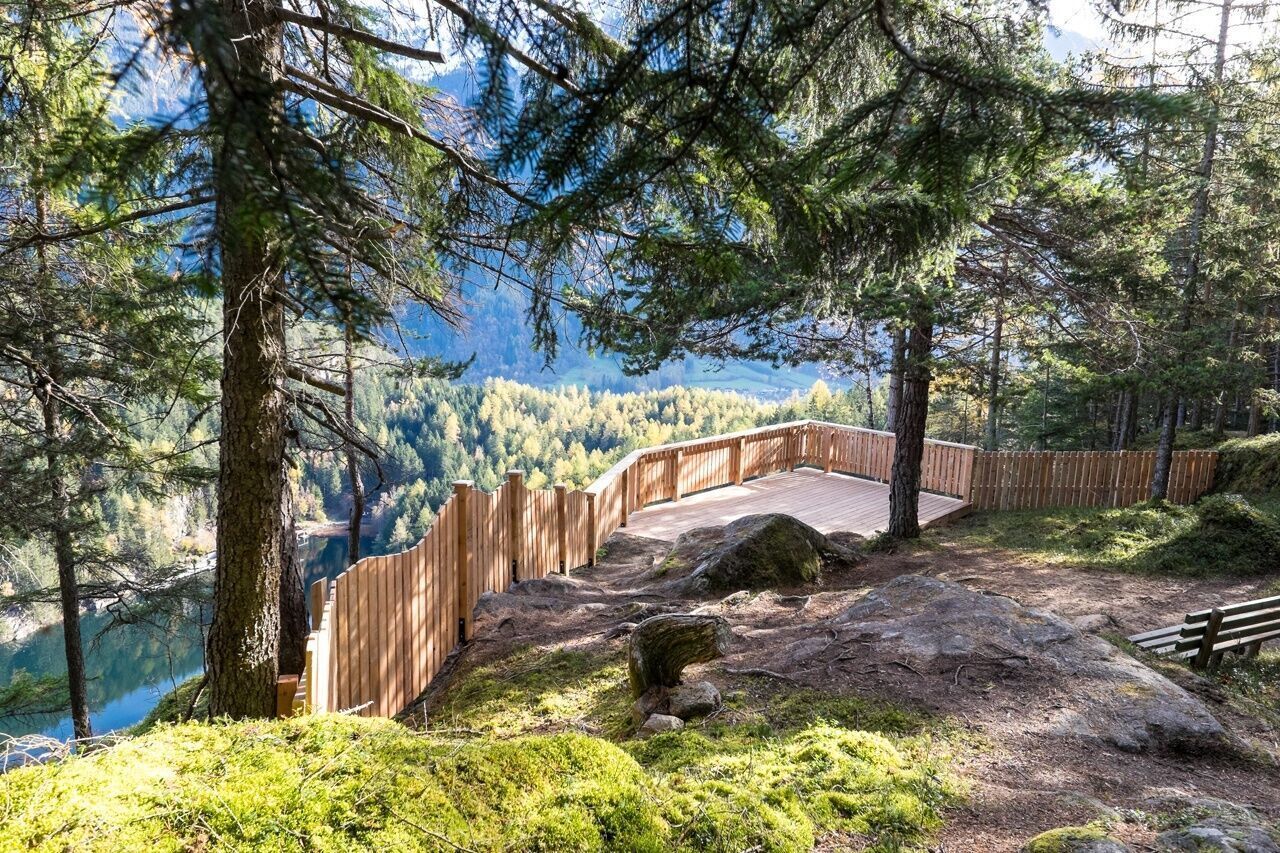
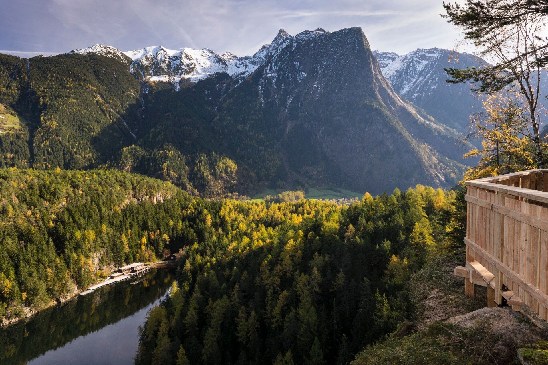
"The Piburger See and its 9 treasures"
The "9 treasures" are 9 very special places in the region around the Piburger See. Viewing platforms mark these points and invite visitors to linger. Take a short break to ponder your thoughts and dreams. At each platform, you will find a "treasure book". This serves to capture these thoughts. Thus, each place becomes your very special treasure!
Travel comfortably and safely by train to the Ötztal train station. The final stop and exit point is ÖTZTAL station. Afterwards, conveniently and quickly travel with public transit or local taxi companies through the entire valley to your desired destination! The current bus schedule is available at: http://fahrplan.vvt.at
The following parking options are available in Sautens:


