
Opening hours:Open today
Place:
Sölden
:
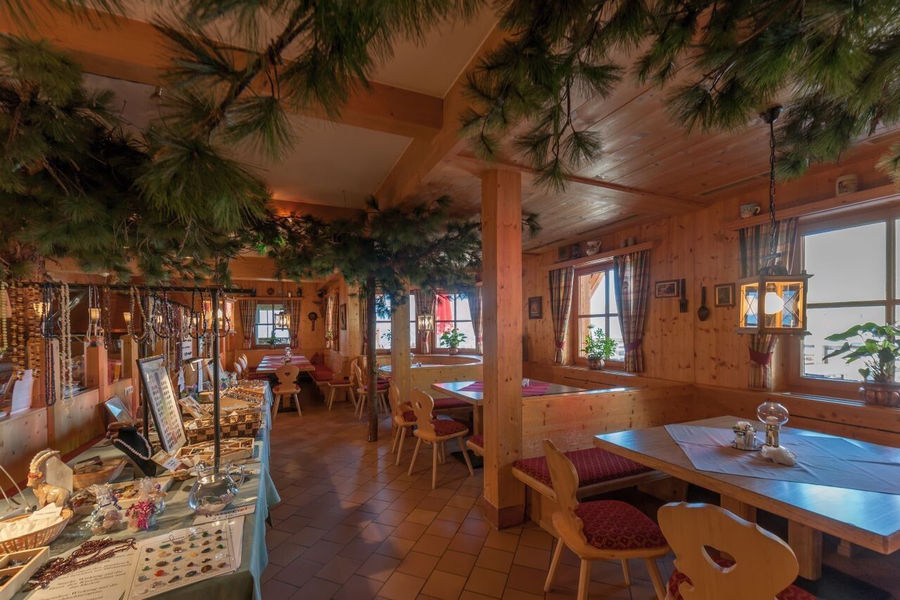
Restaurant
SÖLDEN -> SILBERTAL -> SÖLDEN
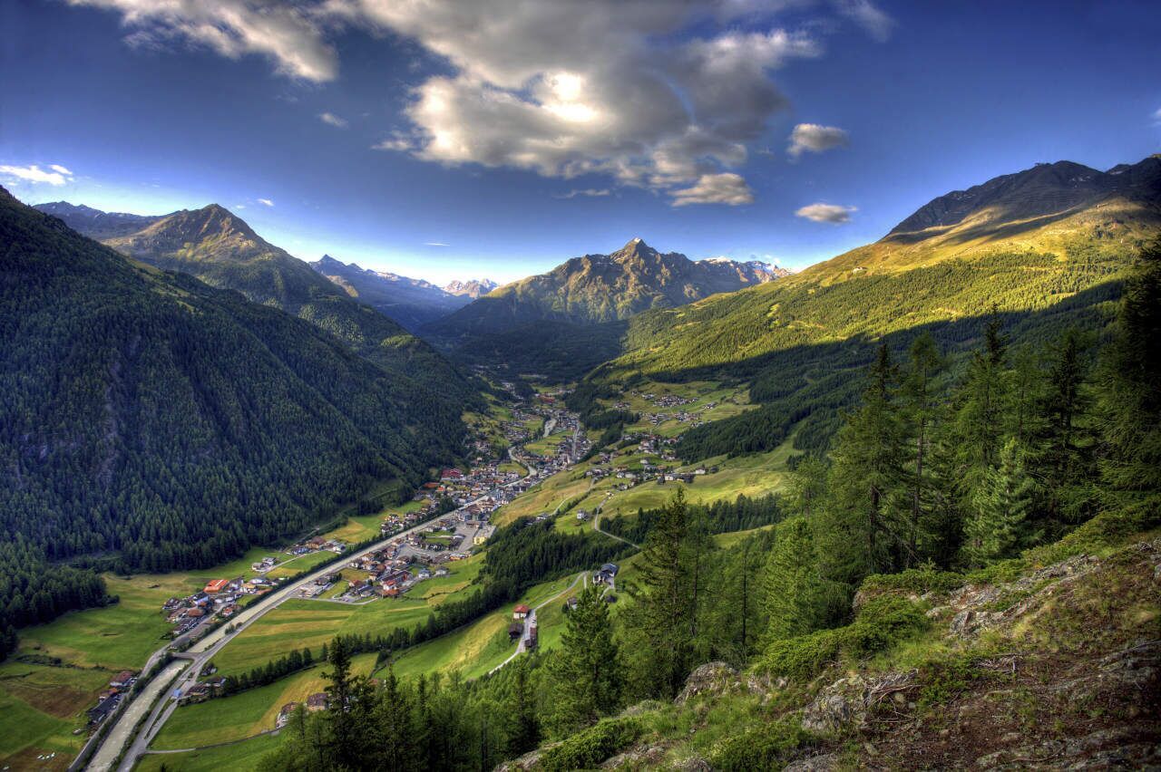
Start your hike in the center of Sölden and walk past the church towards the district of Innerwald. From here, a narrow paved path leads steeply uphill.
Passing through the shady Innerwald forest, you will reach the Ötztal Glacier Road. Follow this road comfortably until you arrive at the “Stiegele” junction (turnoff to Gaislach / Glacier Road).
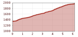
From Stiegele, a forest road leads first gently and then steadily uphill to the first curve. The route often runs parallel to the ski slope and offers beautiful views of the surrounding mountains.
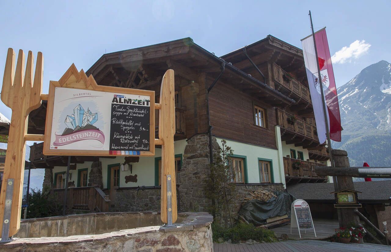
After several curves, you will reach the Alpengasthof Sonneck, a perfect place to rest. From there, continue on to the Gaislachalm and finally to the charming Silbertal.
Along the way, enjoy stunning views towards the Vent Valley – a wonderful companion for your hike.
Travel safe and comfortable with the train to the Ötztal Bahnhof train station. Last stop and exit point is the train station Ötztal Bahnhof. Afterwards you can travel smoothly and quick with the public transport or our localtaxi companies through the valley to your desired destination. Please find the current bus timetable here:http://fahrplan.vvt.at
The following parking facilities are available in Sölden:
All parking is free during the day.
Parking for several days (eg hike tour):


