St. Ulrichkapelle | Kreuzweg

Pfunds / Ötztal Alps
Difficulty ratings: medium
Route length: 3.6 km
Duration: 1:30 h

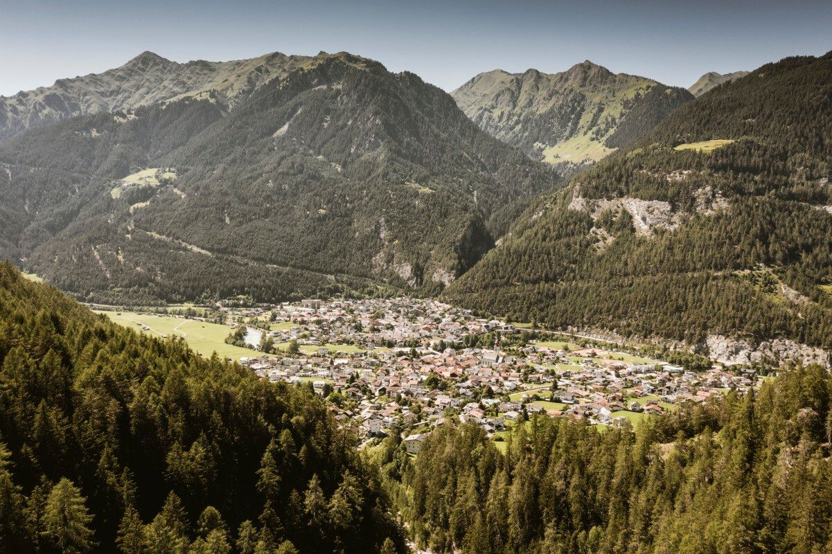
A pilgrimage trail adorned with charming shrines—history and serenity every step of the way.
Tour information

  • Requirement: medium
  • Length: 3.6 km
  • Duration: 1:30 h
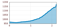
  • Elevation uphill:201 hm
  • Elevation downhill:204 hm
Highest point1,176 m

Starting point

Kreisverkehr | Pfunds

Finishing point

Kreisverkehr | Pfunds
  • Fitness level 2 / 6
  • Technique 2 / 6

Best time of year

  • January
  • February
  • March
  • April
  • May
  • June
  • July
  • August
  • September
  • October
  • November
  • December

Trail condition

Trail, asphalt

Equipment

We recommend equipment suitable for the tour and weather conditions, including sturdy shoes, weatherproof clothing, food, and appropriate maps.
Source: TVB Tiroler Oberland

Description

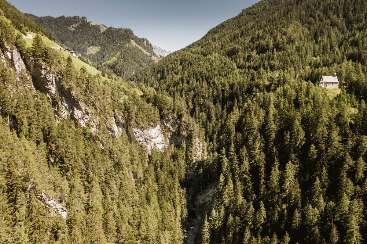
The walk begins at the roundabout and leads to Pension Bambi, where the Way of the Cross starts. Each station is marked by a beautifully crafted shrine, guiding visitors all the way to St. Ulrich’s Chapel. The return follows the same path back to the starting point.

Getting here

  • Arrival by public transport

    Line 210, Bus stop Pfunds Stuben Kirche
    Line 273, Bus stop Pfunds Stuben Mittelschule

  • Parking

    Parking area at the roundabout, free of charge

Weather

Today

Thunderstorm
18°C/10°C
85%21.5l5 km/h

Thu

light rain
15°C/9°C
65%3.9l5 km/h

Fri

partly Cloudy
18°C/9°C
40%1l5 km/h
Go to weather forecast

More tours in the surrounding area

  • Kapelle Maria Schnee

    Difficulty:easy
    Length:1.7 kmDuration:0:30 hElevation uphill:90 m
  • Talwanderweg Kaunertal

    Difficulty:easy
    Duration:2:30 hElevation uphill:295 m
  • Kaunerberger Wasserweg

    Opening hours:closed
    Difficulty:medium
    Length:15.2 kmDuration:6:00 hElevation uphill:935 m
  • Großer Mutzkopf

    Opening hours:closed
    Difficulty:easy
    Length:10.3 kmDuration:4:00 hElevation uphill:507 m
  • Rundwanderung Frudiger

    Difficulty:medium
    Length:13.5 kmDuration:4:55 hElevation uphill:588 m
  • Radurschlklamm Gorge

    Opening hours:open
    Difficulty:medium
    Length:7.5 kmDuration:3:20 hElevation uphill:442 m
  • Gletscherlehrpfad Gepatschferner

    Difficulty:medium
    Length:8.4 kmDuration:3:45 hElevation uphill:400 m
  • Hohe Aifnerspitze (2.779 m)

    Difficulty:medium
    Length:7.2 kmDuration:5:15 hElevation uphill:815 m
  • Ötztal Trek Stage 15

    Difficulty:difficult
    Length:6.5 kmDuration:2:30 hElevation uphill:332 m
  • Rolli-Wanderung Gepatschhaus

    Length:8.5 kmDuration:1:45 hElevation uphill:156 m
  • Rolli-Wanderung Aifner Alm

    Difficulty:medium
    Length:6.0 kmDuration:2:30 hElevation uphill:460 m
  • Rolli-Wanderung Falkaunsalm

    Difficulty:medium
    Length:4.5 kmDuration:1:45 hElevation uphill:392 m
  • Rolli-Wanderung Nassereinalm

    Difficulty:medium
    Length:5.5 kmDuration:1:45 hElevation uphill:269 m
  • Verpeilschlucht

    Opening hours:open
    Difficulty:medium
    Duration:3:00 hElevation uphill:386 m
Newsletter

The mountain is calling? So does our newsletter!

In our monthly newsletter we reveal the best holiday tips for Tyrol.