St. Ulrichskapelle | Radurschlklamm

open
Pfunds / Ötztal Alps
Difficulty ratings: medium
Route length: 6.6 km
Duration: 2:40 h

A varied hike combining a dramatic gorge, peaceful forest trails, and a scenic pilgrimage path.
Tour information

  • Requirement: medium
  • Length: 6.6 km
  • Duration: 2:40 h
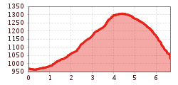
  • Elevation uphill:345 hm
  • Elevation downhill:344 hm
Highest point1,318 m

Starting point

Kreisverkehr | Pfunds

Finishing point

Kreisverkehr | Pfunds
  • Fitness level 2 / 6
  • Technique 2 / 6

Features

  • Circular route
  • Suitable for families

Best time of year

  • January
  • February
  • March
  • April
  • May
  • June
  • July
  • August
  • September
  • October
  • November
  • December

Trail condition

Forest road, trail, road

Equipment

We recommend equipment suitable for the tour and weather conditions, including sturdy shoes, weatherproof clothing, food, and appropriate maps.
Source: TVB Tiroler Oberland

Description

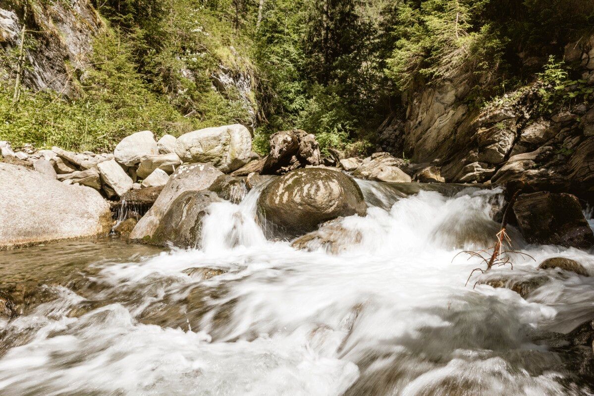
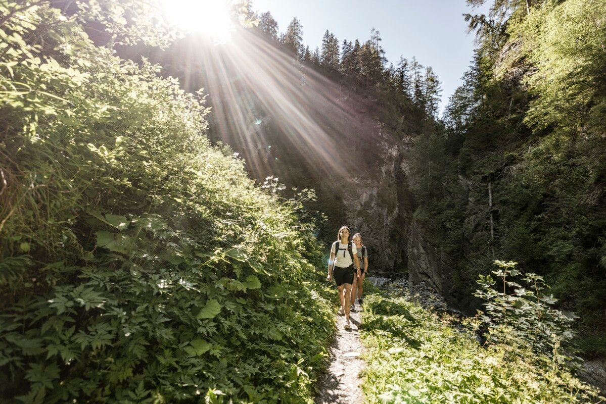
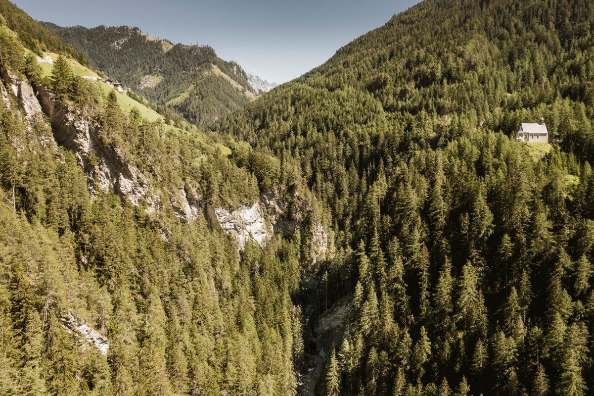
From the roundabout, follow the river upstream to the edge of the forest. This is where the Klammsteig begins—a striking and romantic gorge with numerous bridges, including a suspension bridge, roaring waterfalls, and overhanging rock formations. At the end of the gorge, a path branches off to the right towards the Radurschlweg. Continue along the forest road heading back towards Pfunds until a path turns right into the woods. Here you will find St. Ulrich’s Chapel. From this point, the Way of the Cross leads back to Pfunds.

Tip: ideal on hot days
Caution: in case of rain and wet: risk of slippage & rockfall!
Important Note status report!


Getting here

  • Arrival by public transport

    Line 210, Bus stop Pfunds Stuben Kirche
    Line 273, Bus stop Pfunds Stuben Mittelschule

  • Parking

    Parking area at the roundabout, free of charge

Weather

Today

partly Cloudy
18°C/8°C
55%0.6l5 km/h

Sat

clear sky
21°C/6°C
0%0l5 km/h

Sun

mainly clear
22°C/8°C
35%0.9l5 km/h
Go to weather forecast

More tours in the surrounding area

  • Großer Mutzkopf

    Opening hours:closed
    Difficulty:easy
    Length:10.3 kmDuration:4:00 hElevation uphill:507 m
  • Ötztal Trek Stage 15

    Difficulty:difficult
    Length:6.5 kmDuration:2:30 hElevation uphill:332 m
  • Rolli-Wanderung Aifner Alm

    Difficulty:medium
    Length:6.0 kmDuration:2:30 hElevation uphill:460 m
  • Rolli-Wanderung Nassereinalm

    Difficulty:medium
    Length:5.5 kmDuration:1:45 hElevation uphill:269 m
  • Rolli-Wanderung Gepatschhaus

    Length:8.5 kmDuration:1:45 hElevation uphill:156 m
  • Rolli-Wanderung Falkaunsalm

    Difficulty:medium
    Length:4.5 kmDuration:1:45 hElevation uphill:392 m
  • Talwanderweg Kaunertal

    Difficulty:easy
    Duration:2:30 hElevation uphill:295 m
  • Kaunerberger Wasserweg

    Opening hours:closed
    Difficulty:medium
    Length:15.2 kmDuration:6:00 hElevation uphill:935 m
  • Gletscherlehrpfad Gepatschferner

    Difficulty:medium
    Length:8.4 kmDuration:3:45 hElevation uphill:400 m
  • Hohe Aifnerspitze (2.779 m)

    Difficulty:medium
    Length:7.2 kmDuration:5:15 hElevation uphill:815 m
  • Kapelle Maria Schnee

    Difficulty:easy
    Length:1.7 kmDuration:0:30 hElevation uphill:90 m
  • Radurschlklamm Gorge

    Opening hours:open
    Difficulty:medium
    Length:7.5 kmDuration:3:20 hElevation uphill:442 m
  • Rundwanderung Frudiger

    Difficulty:medium
    Length:13.5 kmDuration:4:55 hElevation uphill:588 m
  • Verpeilschlucht

    Opening hours:open
    Difficulty:medium
    Duration:3:00 hElevation uphill:386 m
Newsletter

The mountain is calling? So does our newsletter!

In our monthly newsletter we reveal the best holiday tips for Tyrol.