
Opening hours:Today closed
Place:
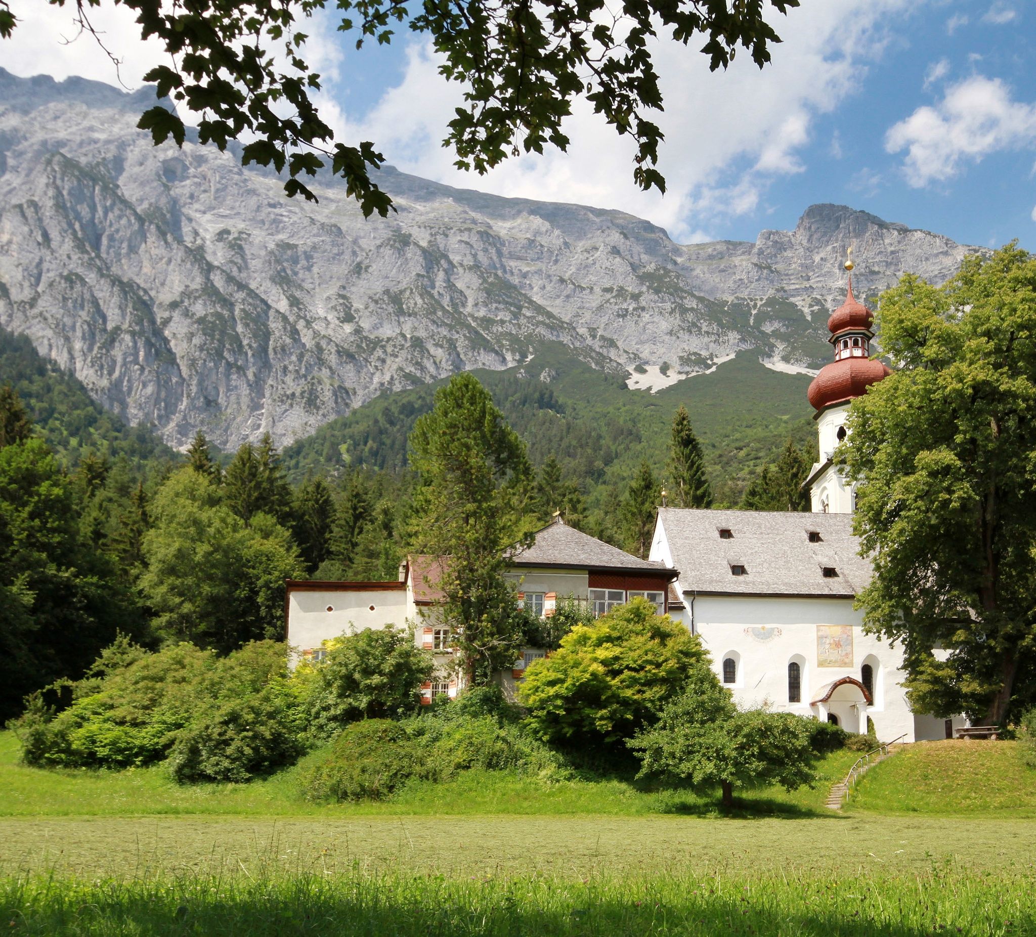
Gnadenwald
:
Restaurant, Alpine pasture / hut / mountain restaurant
On the last day of our long-distance hike through the Hall-Wattens region, we reach one of the most beautiful high plateaus, the Walderalm. Before we leave the Karwendel mountains with a view of the Vomperloch and our 5 days in the region come to an end.
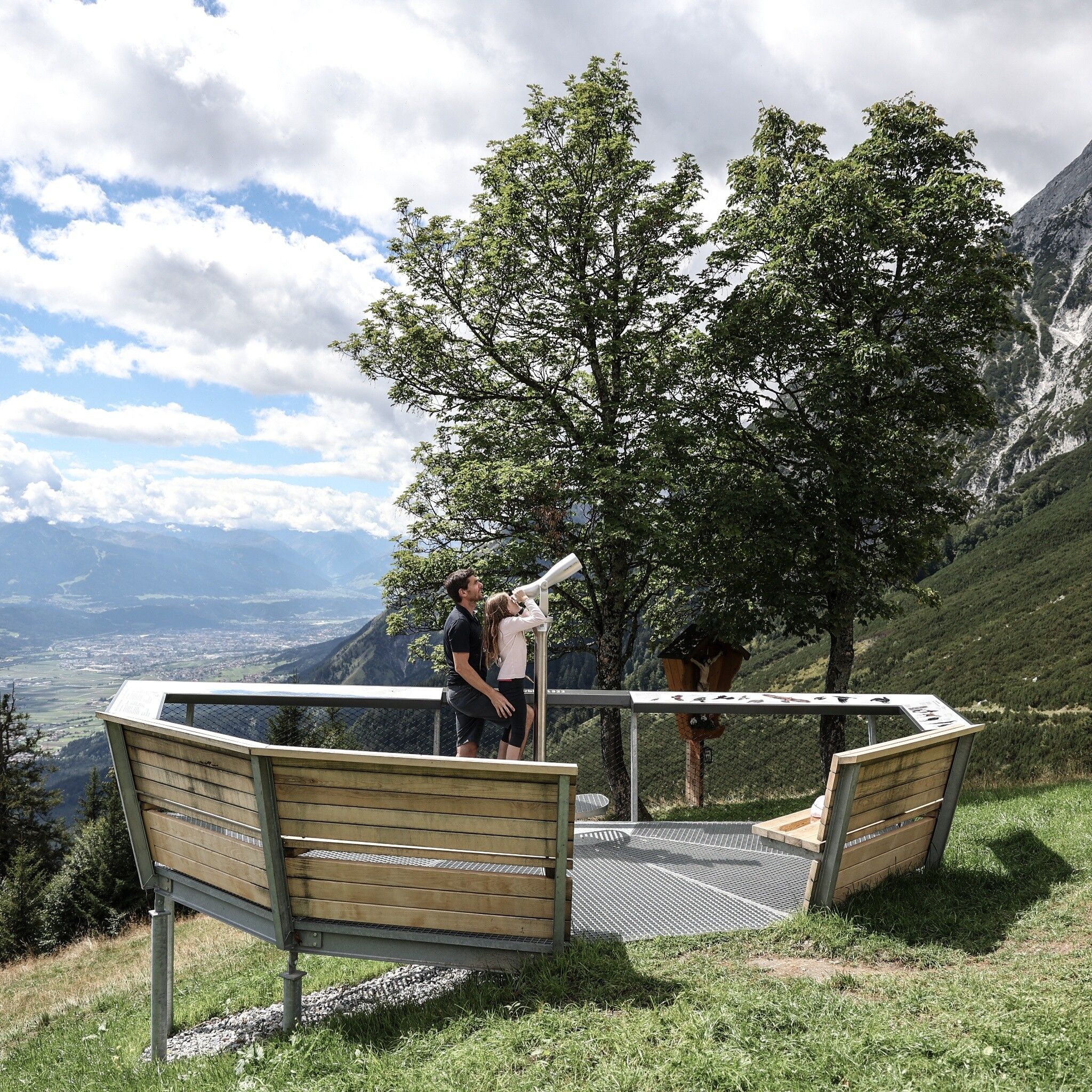
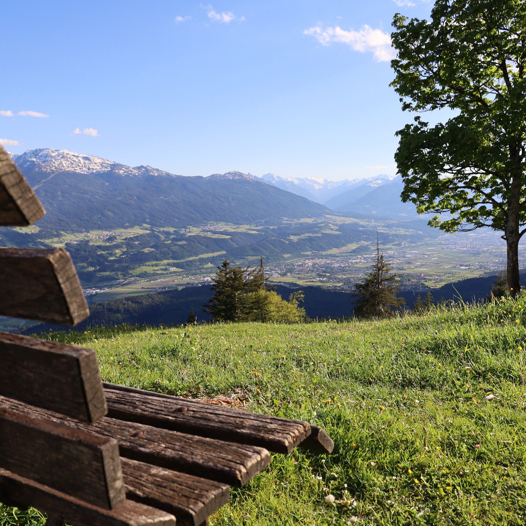
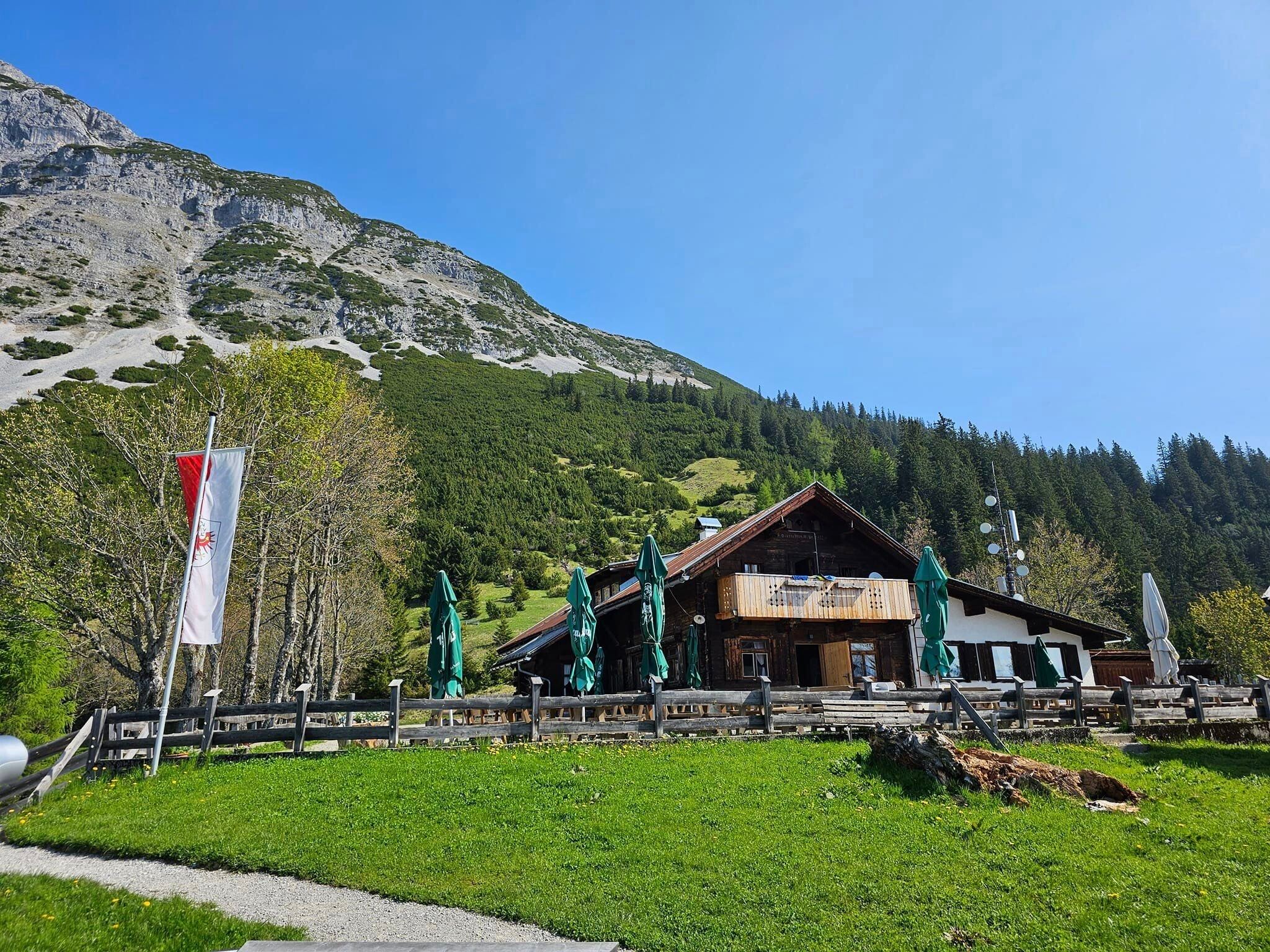
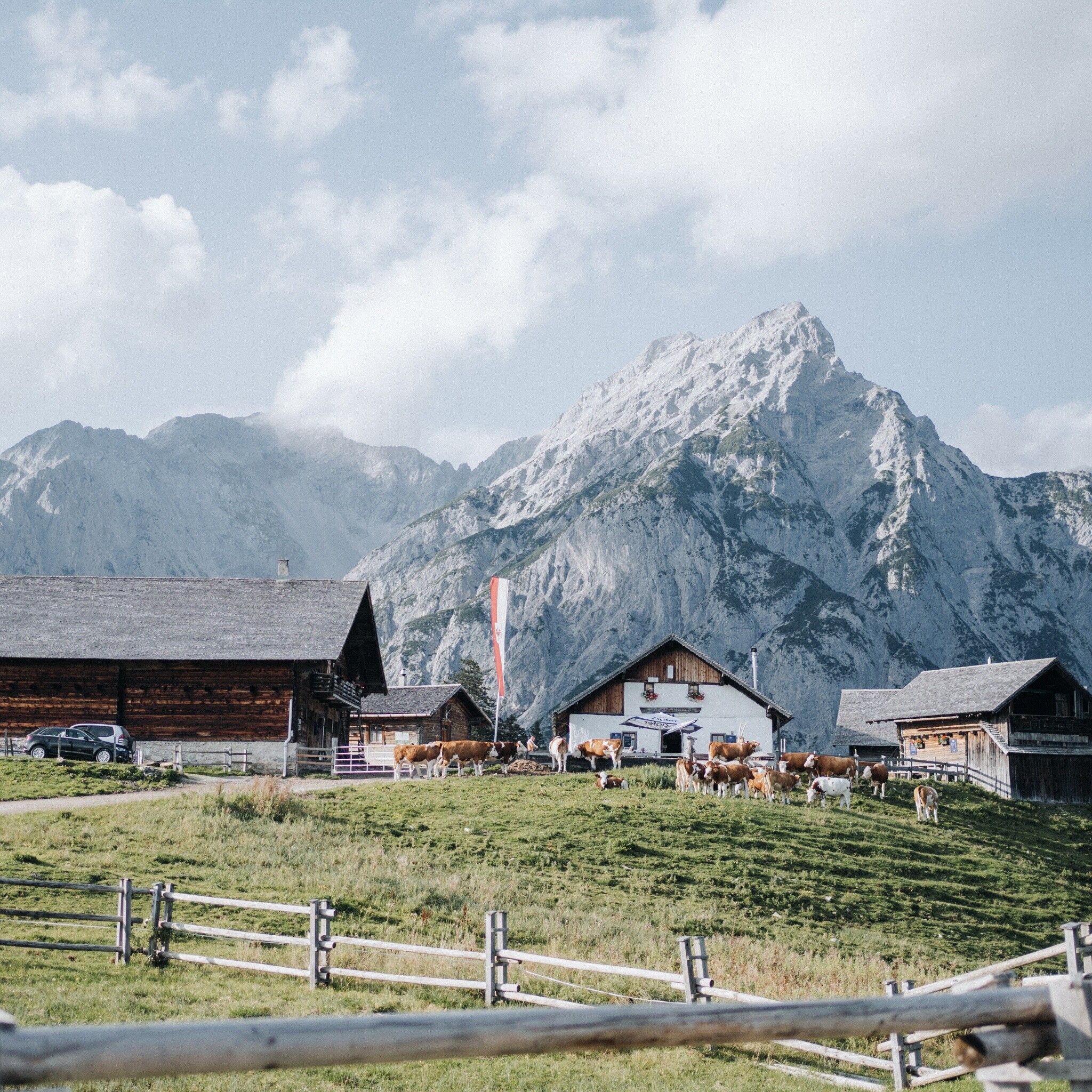
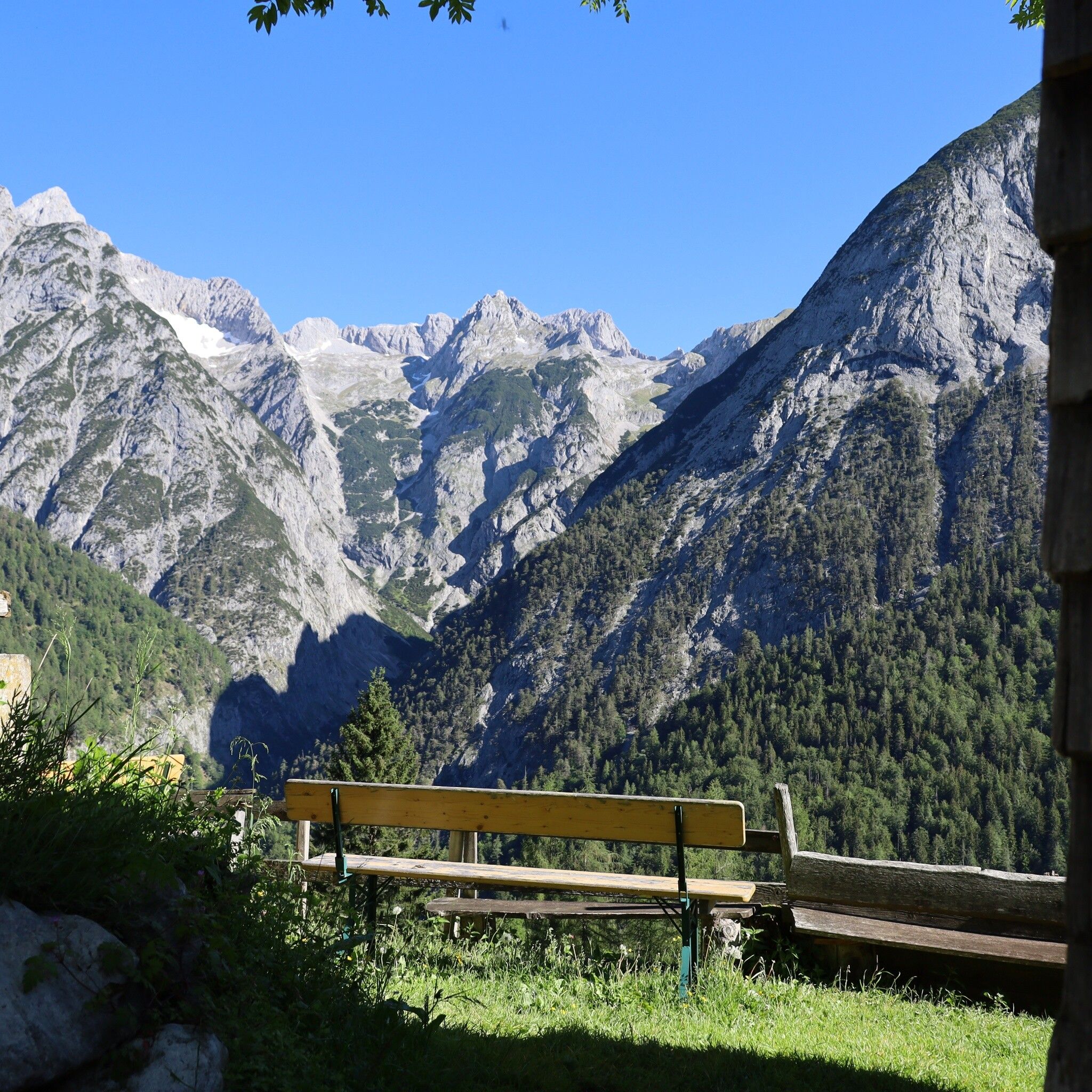
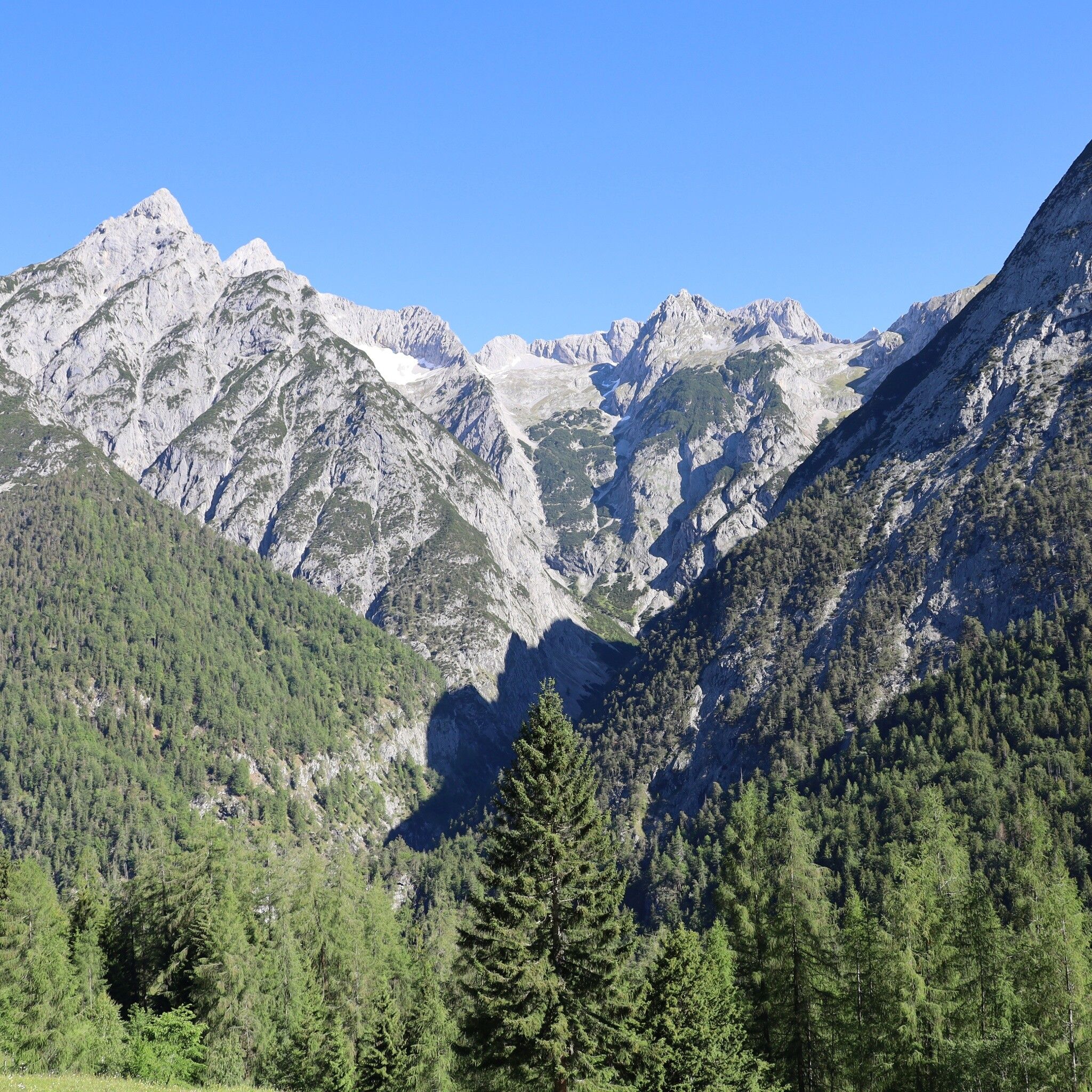
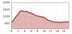
In Gnandenwald, the day starts with a crisp ascent to the Hinterhornalm. This south-facing ascent offers little shade in summer. Once we reach the Hinterhornalm and the "Adlerblick" viewing platform, we continue at a leisurely pace to the Walderalm. We enjoy the panoramic view from the Walderalm with the Karwendel panorama, the view of the Tux Alps and the Inn Valley to the full.
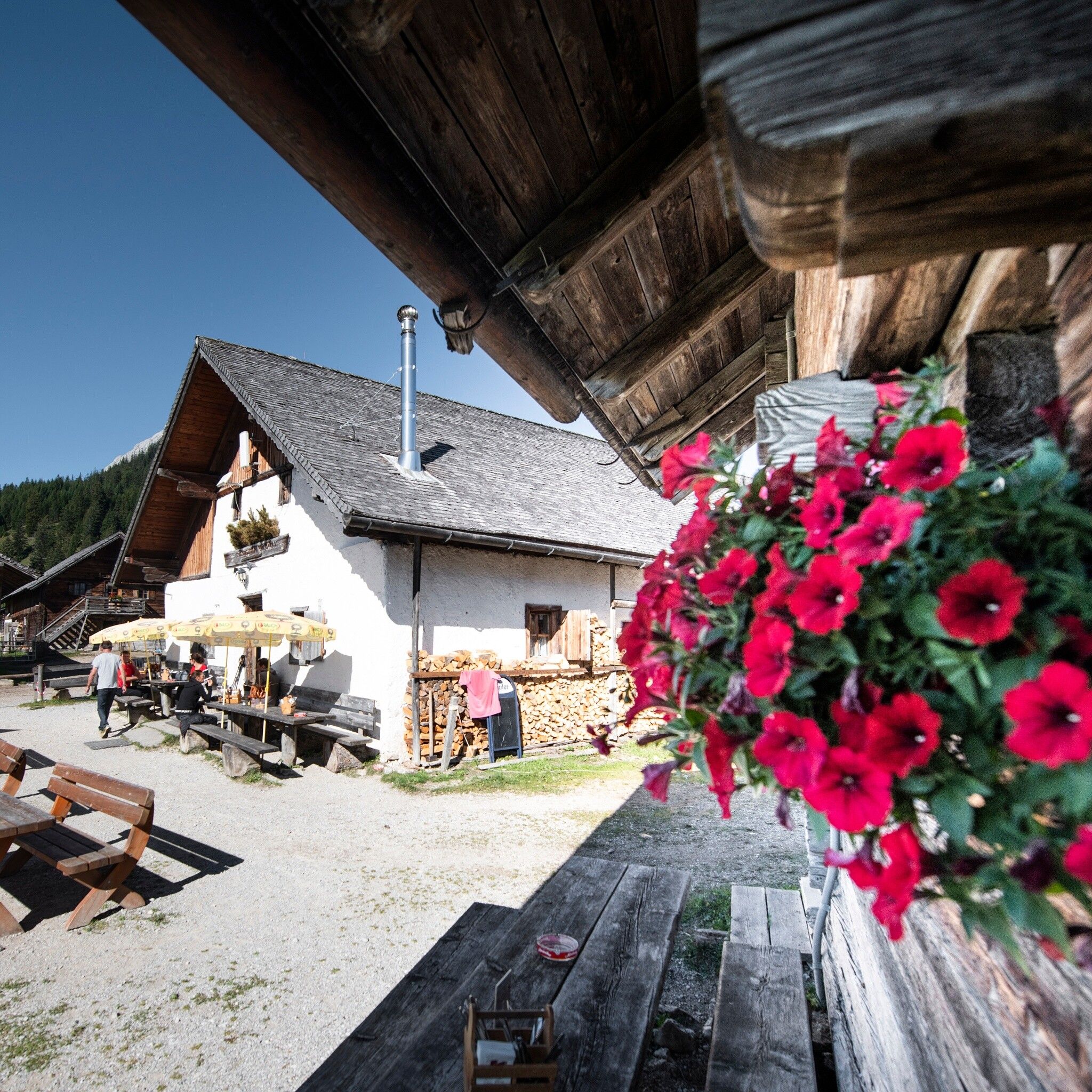
After a refreshment stop, we descend via the Ganalm (not open to the public) with a view of the Vomperloch. We bid farewell to our tour through the Hall-Wattens region and reach our starting point, where we started 5 days ago.
Bus line 3 to Gnadenwald, St. Martin.
Sollten Sie mit dem Auto anreisen, können wir Ihnen für die Dauer des Bergsagenweitwanderweges eine Berechtigungskarte für den Parkplatz in Gnadenwald ausstellen: Email Anfrage


.jpg")
.jpg")


.jpg")
