
Opening hours:Today closed
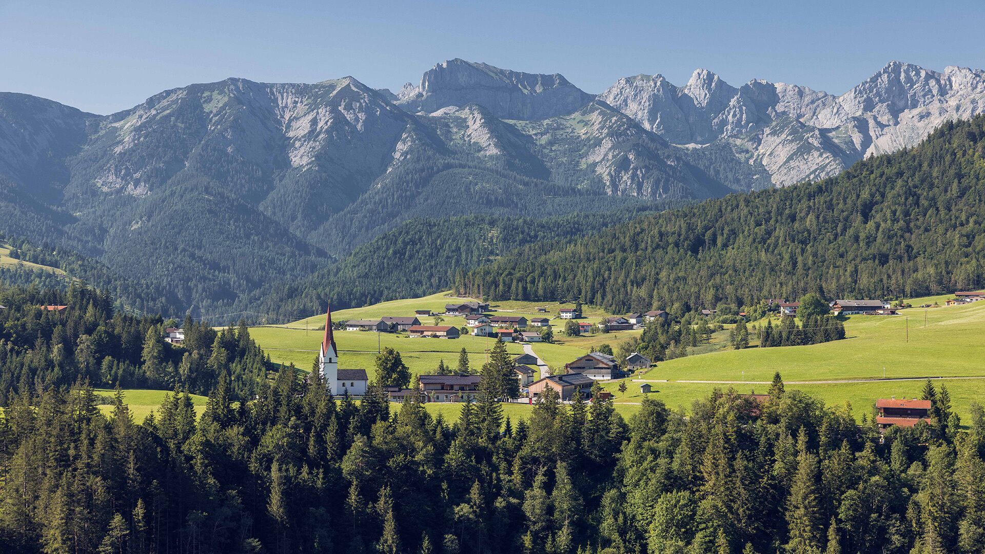
Place:Steinberg am Rofan
:Restaurant
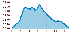
Scenic hike over the Gfaßsattel to the Schönjochalm (1,287m). 330m elevation gain and ca. 2 hours 15 minutes of walking time through quiet forests.
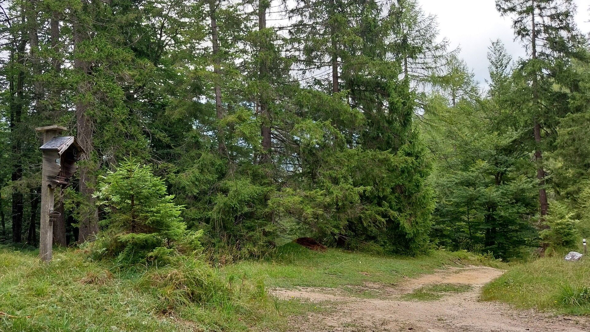
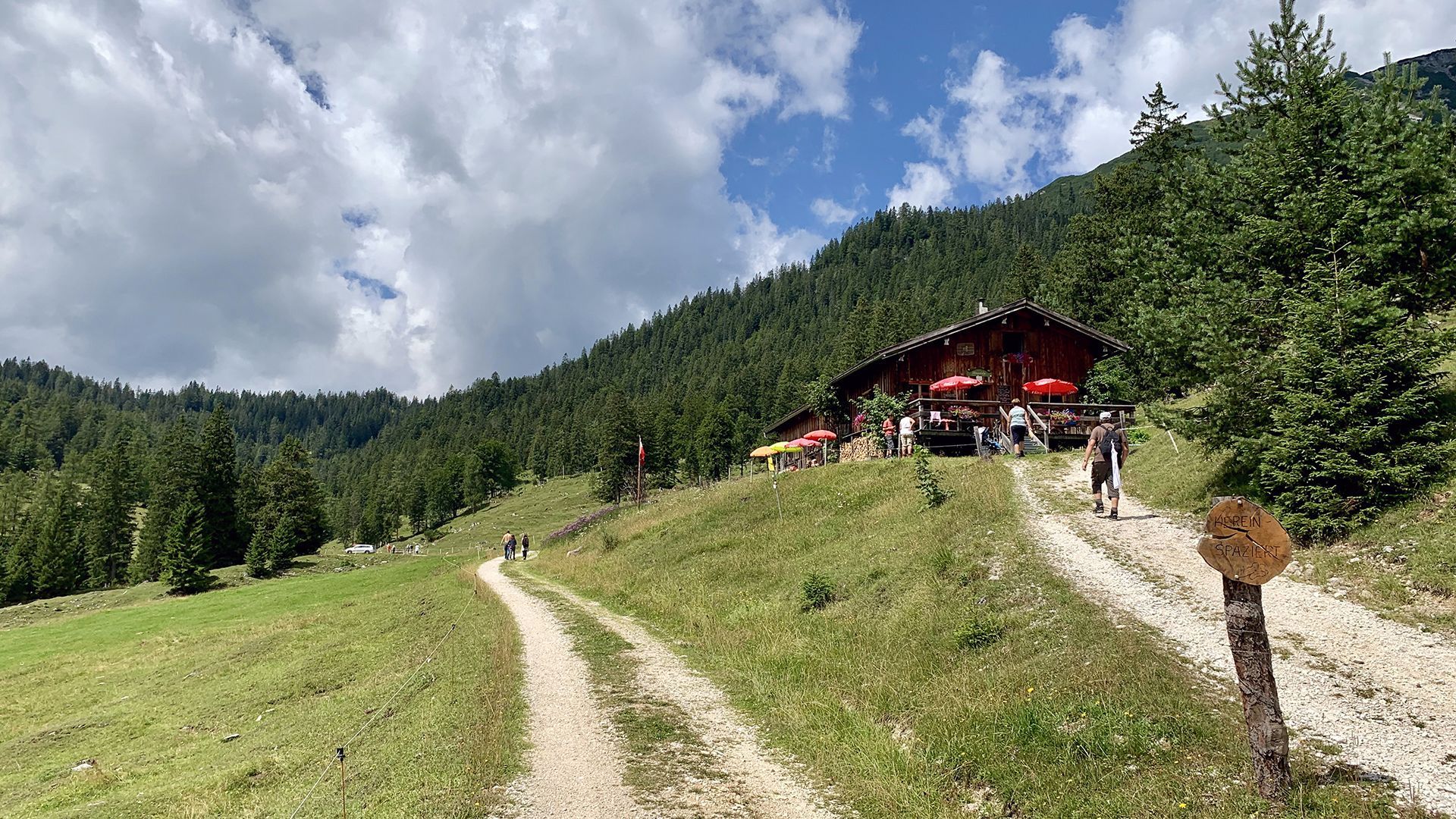
From the parish church Steinberg, walk in a westerly direction past the Messnerhof and continue along the dirt path to the Obermooshof. Walk behind the farm and follow the road to the barn. Turn right and follow the road as it climbs to a junction. Turn left and follow the gravel path straight on to the Gfaßsattel (1,226 metres). From here, follow the gravel path and the forest path to the Schönjochalm (1,287 metres, see signpost). The return route is via the forest road to Steinberg.
Take the regional bus (line 4080 to Achenkirch, then transfer to line 7801) to Steinberg am Rofan, near the parish church and municipal office. Alight at the “Steinberg am Rofan Kirche" stop.
Car park Gemeindeamt Steinberg (free of charge)


.jpg")
")
.jpg")

.jpg")


")


.jpg")


")


.jpg")
.jpg")
 Mirja Geh (26).jpg")


