
Opening hours:Today closed
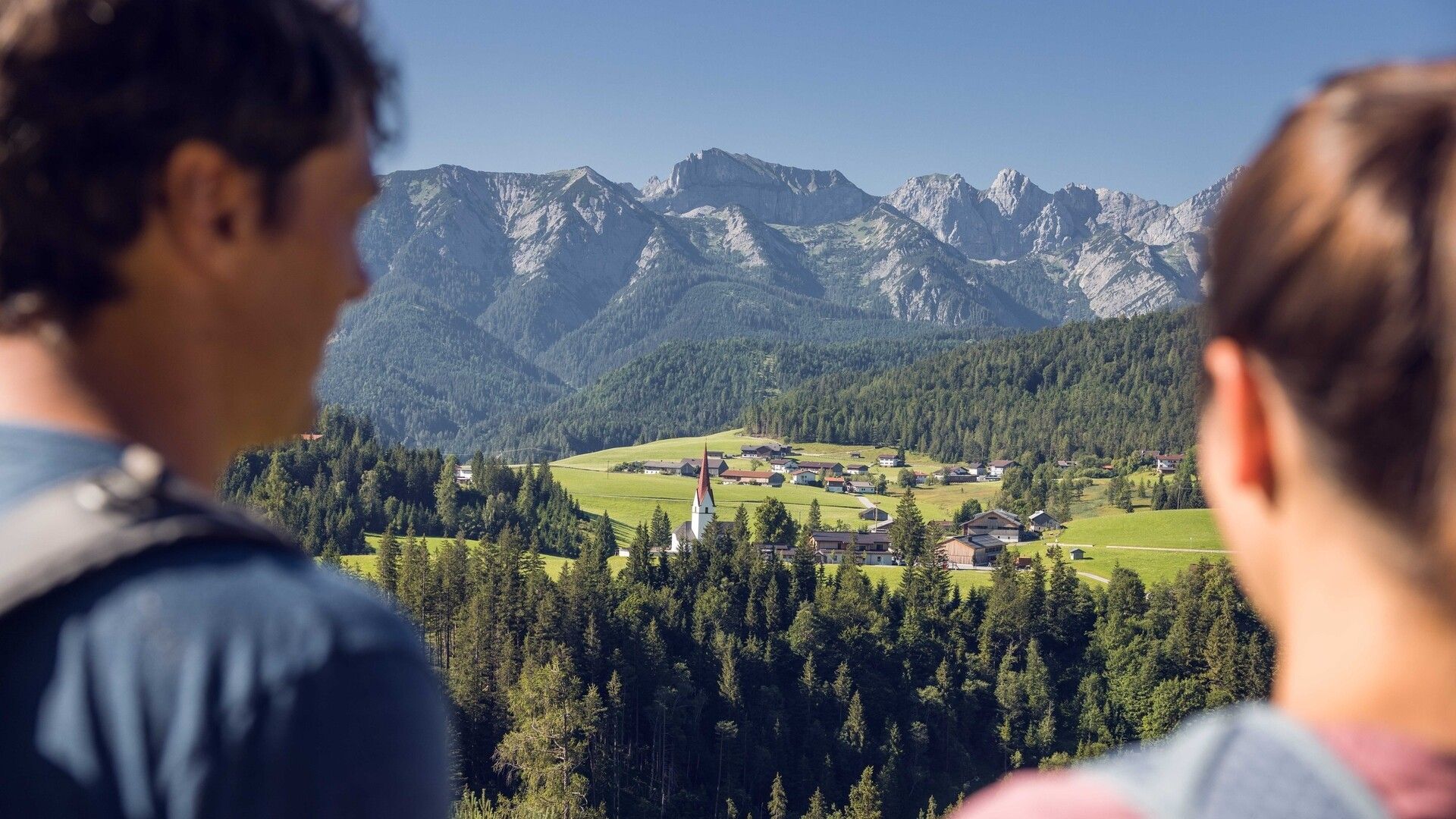
Place:Steinberg am Rofan
:Restaurant
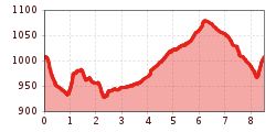
Circular walk from Steinberg towards Hinterberg: 8.5km distance, 235m elevation gain, ca. 3 hours walking time. The route offers views along forest paths and returns via an asphalt road.
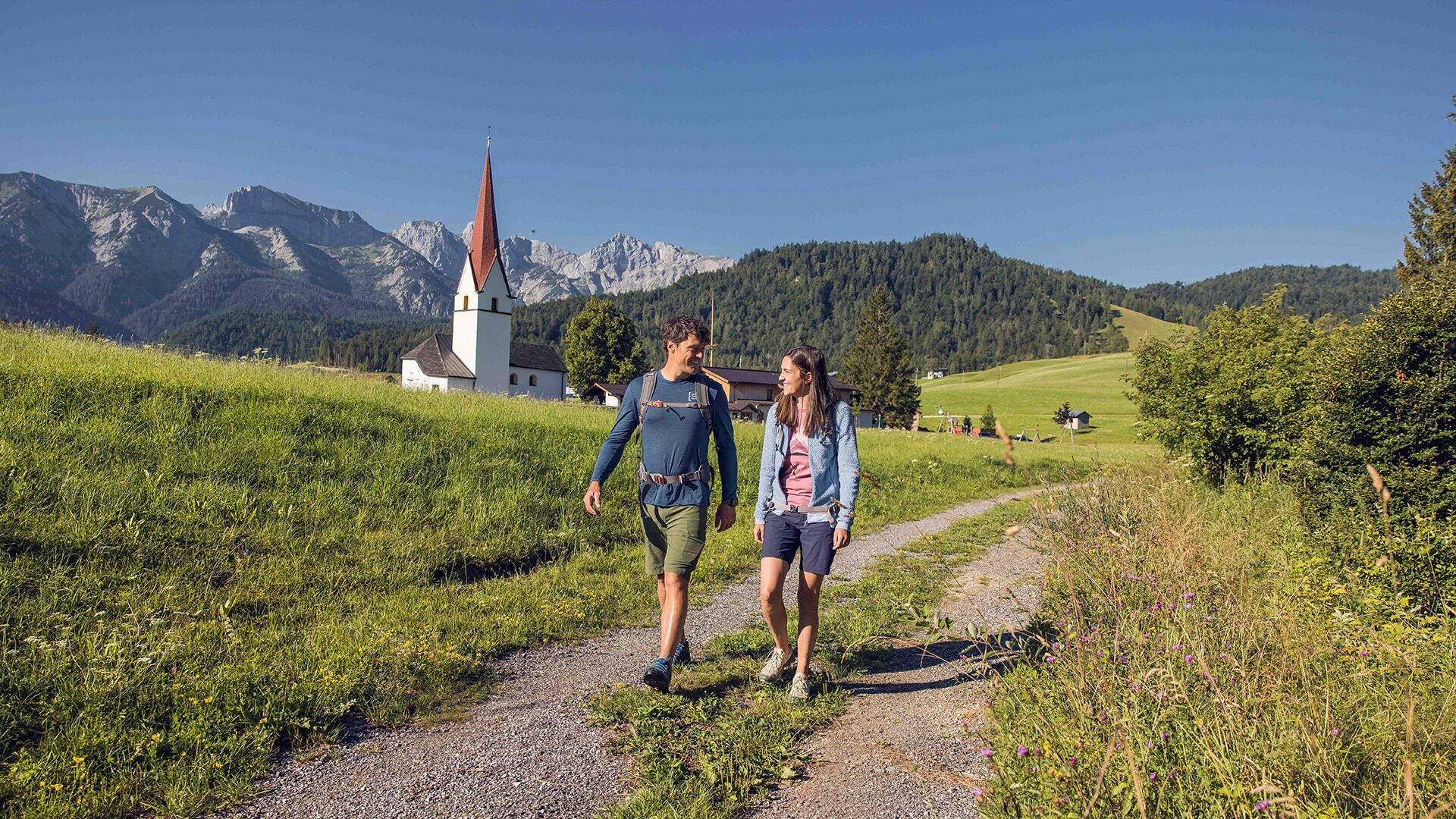
From the parish church Steinberg, walk in a northerly direction past the two houses on the left. Descend to the Mühlbach and walk to the asphalt road. Continue along the road, then turn left and walk across the stream to the Hinterbergweg. Follow this path until it joins a forest road and walk to the Appartement Naturetouch. The return route is via the road to Mühlegg/Steinberg and back to the parish church Steinberg.
Take the regional bus (line 4080 to Achenkirch, change to line 7801 to Steinberg) to the parish church Steinberg/municipal office. Get off at the stop: Steinberg a. R. Kirche.
Car park Gemeindeamt Steinberg (free of charge)


.jpg")
")
.jpg")

.jpg")


")


.jpg")


")


.jpg")
.jpg")
 Mirja Geh (26).jpg")


