
Opening hours:Today closed
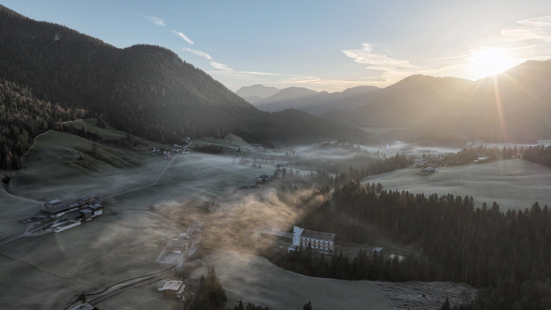
Place:Steinberg am Rofan
:Restaurant
Circular hike through tranquil forests and along clear streams – close to nature, varied and with a place of power to pause and reflect.
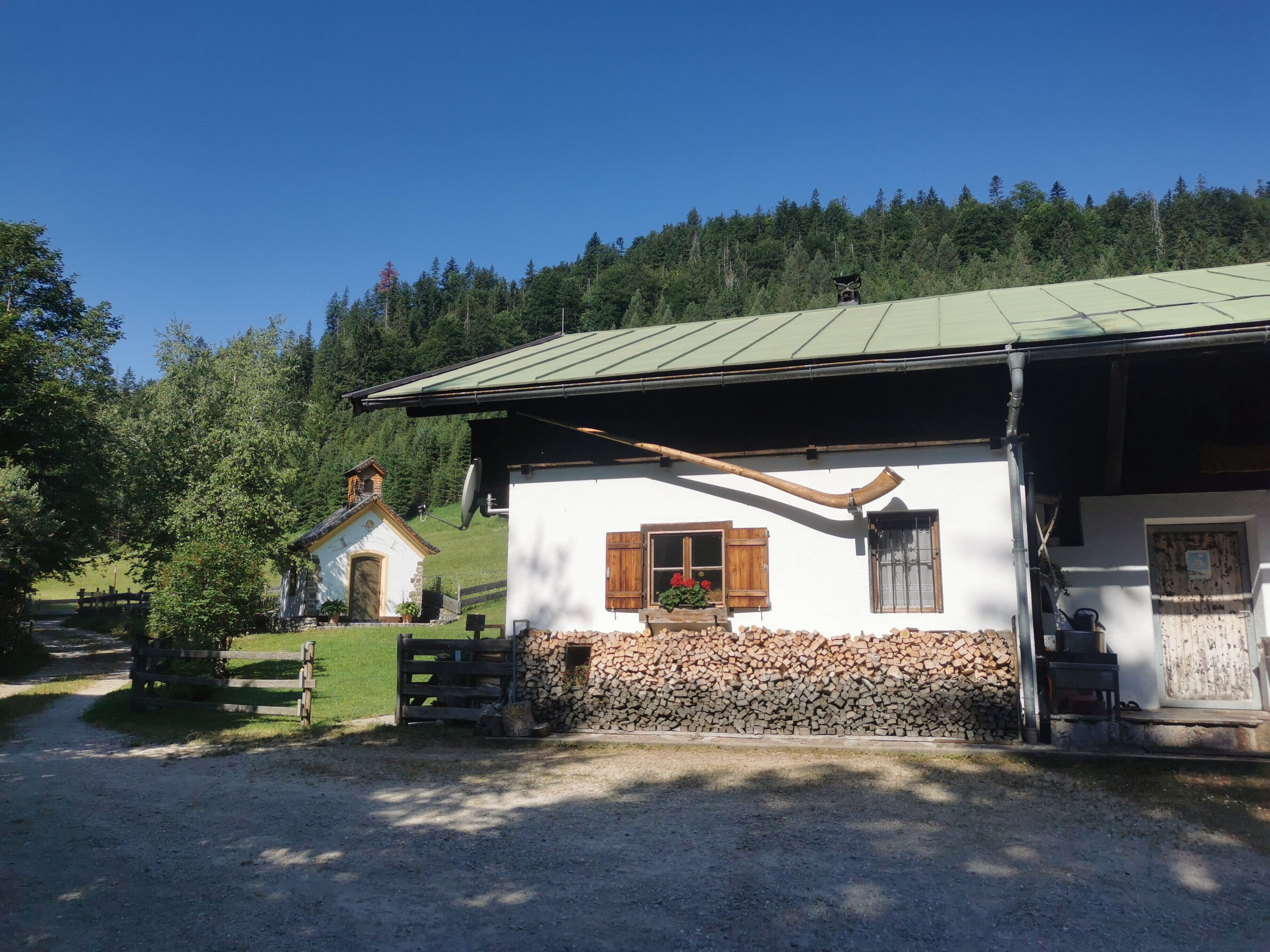
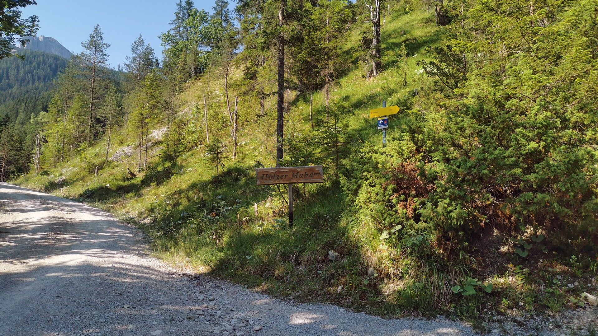
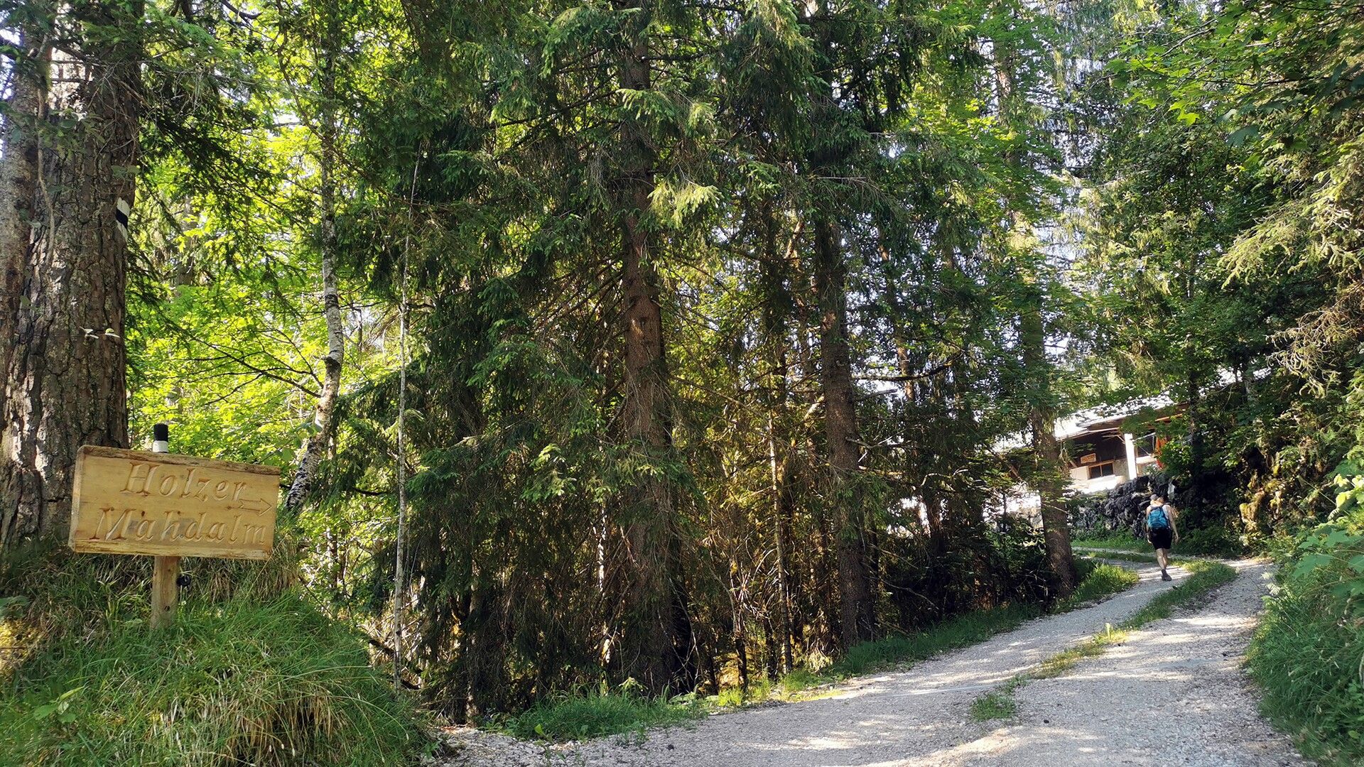
From the parish church Steinberg, walk in a northerly direction past the two houses on the left and descend to the Mühlbach stream. After crossing the stream, follow the asphalt road to the right until you reach the so-called "Loch", where the trail branches off to the right. Cross the bridge and walk around the barrier, then continue along the forest road for a longer section. Along the way, you will pass the place of power, a tranquil viewing platform constructed from local larch wood, which invites you to pause and take in the natural surroundings. The trail then leads through a rock tunnel and continues alongside the stream until the Holzermahdweg branches off to the right. Follow the signs for "Steinberg". The trail first leads uphill, then downhill again to a bridge over the Gaismoosbach stream. After crossing the bridge, the trail climbs once more until it meets a forest road. Turn left onto the forest road and follow it until you reach the asphalt road, which will lead you back through the village to the parish church.
Take the regional bus (line 4080 to Achenkirch, then transfer to line 7801) to Steinberg am Rofan, near the parish church and municipal office. Alight at the “Steinberg am Rofan Kirche" stop.
Car park Gemeindeamt Steinberg (free of charge)


.jpg")
")
.jpg")

.jpg")


")


.jpg")


")


.jpg")
.jpg")
 Mirja Geh (26).jpg")


