
Opening hours:Today closed
Place:Steinberg am Rofan
:Restaurant
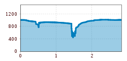
Circular walk from Steinberg parish church: 2.9 kilometres, 135 metres elevation gain, partly along the stream and through woodland, leading into the Steinberger Loch area.
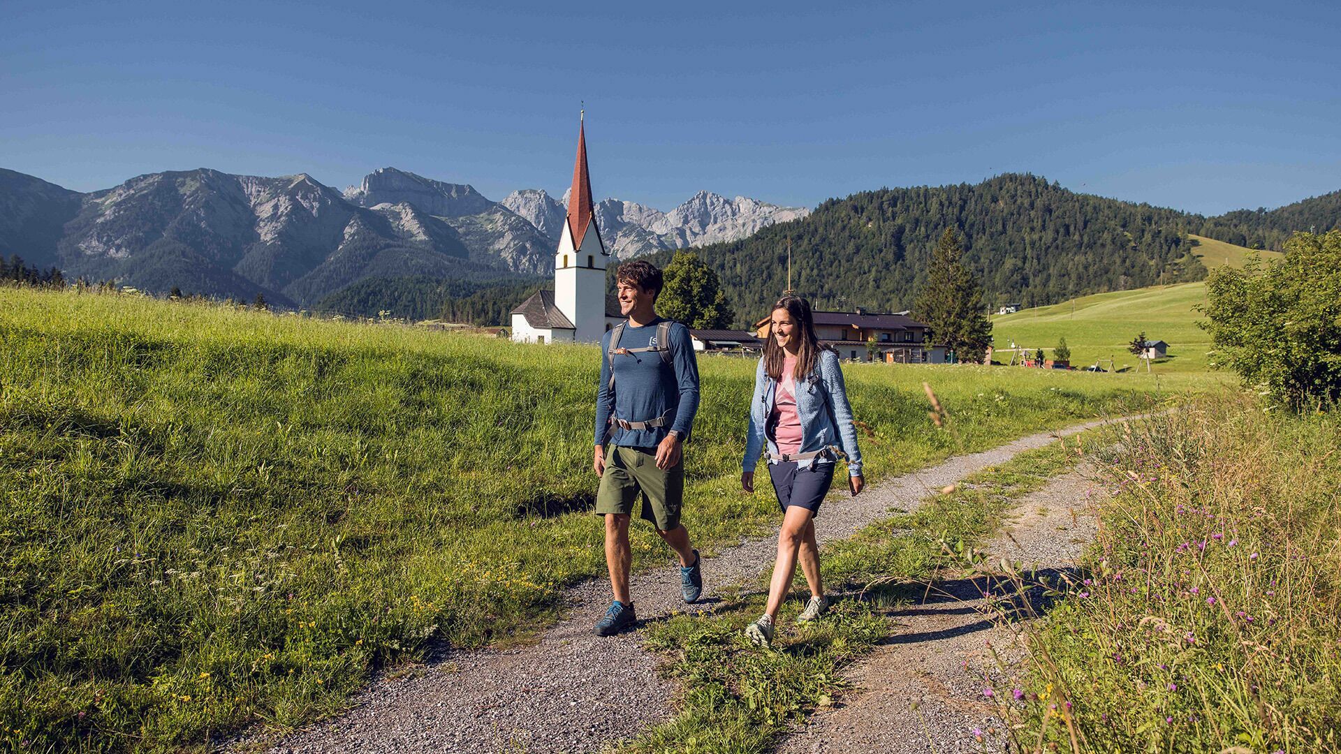
From the parish church Steinberg, walk in a northerly direction past the two houses on the left. Descend to the Mühlbach and walk to the asphalt road. Follow the path on the right and continue along the road until you reach the socalled “Loch”. Just a little before, turn right and walk over the wooden footbridge across the Mühlbach and follow the trail as it climbs over hilltops and back to the first houses of Steinberg. Follow the asphalt road to the wooden barn, then keep right and walk back to the parish church.
Take the regional bus (line 4080 to Achenkirch, then transfer to line 7801) to Steinberg am Rofan, near the parish church and municipal office. Alight at the “Steinberg am Rofan Kirche" stop.
Car park Gemeindeamt Steinberg (free of charge)


.jpg")
")
.jpg")

.jpg")


")


.jpg")


")


.jpg")
.jpg")
 Mirja Geh (26).jpg")


