Themed hikes Treasure Hunt Umhausen Stuibenfall Route

Umhausen / Stubai Alps
Difficulty ratings: easy
Route length: 5.5 km
Duration: 2:30 h

This treasure route takes you around Umhausen, over the Arzwinkel Waalweg you reach the Steppsteig and then back into the village. 

Tour information

  • Requirement: easy
  • Length: 5.5 km
  • Duration: 2:30 h
  • Elevation uphill:132 hm
  • Elevation downhill:132 hm
Highest point1,154 m

Starting point

Information Umhausen

Finishing point

Information Umhausen
  • Fitness level 2 / 6

Best time of year

  • January
  • February
  • March
  • April
  • May
  • June
  • July
  • August
  • September
  • October
  • November
  • December

Equipment

Provisions and drink, good footwear, mobile phone and camera. 

Source: TVB Ötztal Tourismus

Description

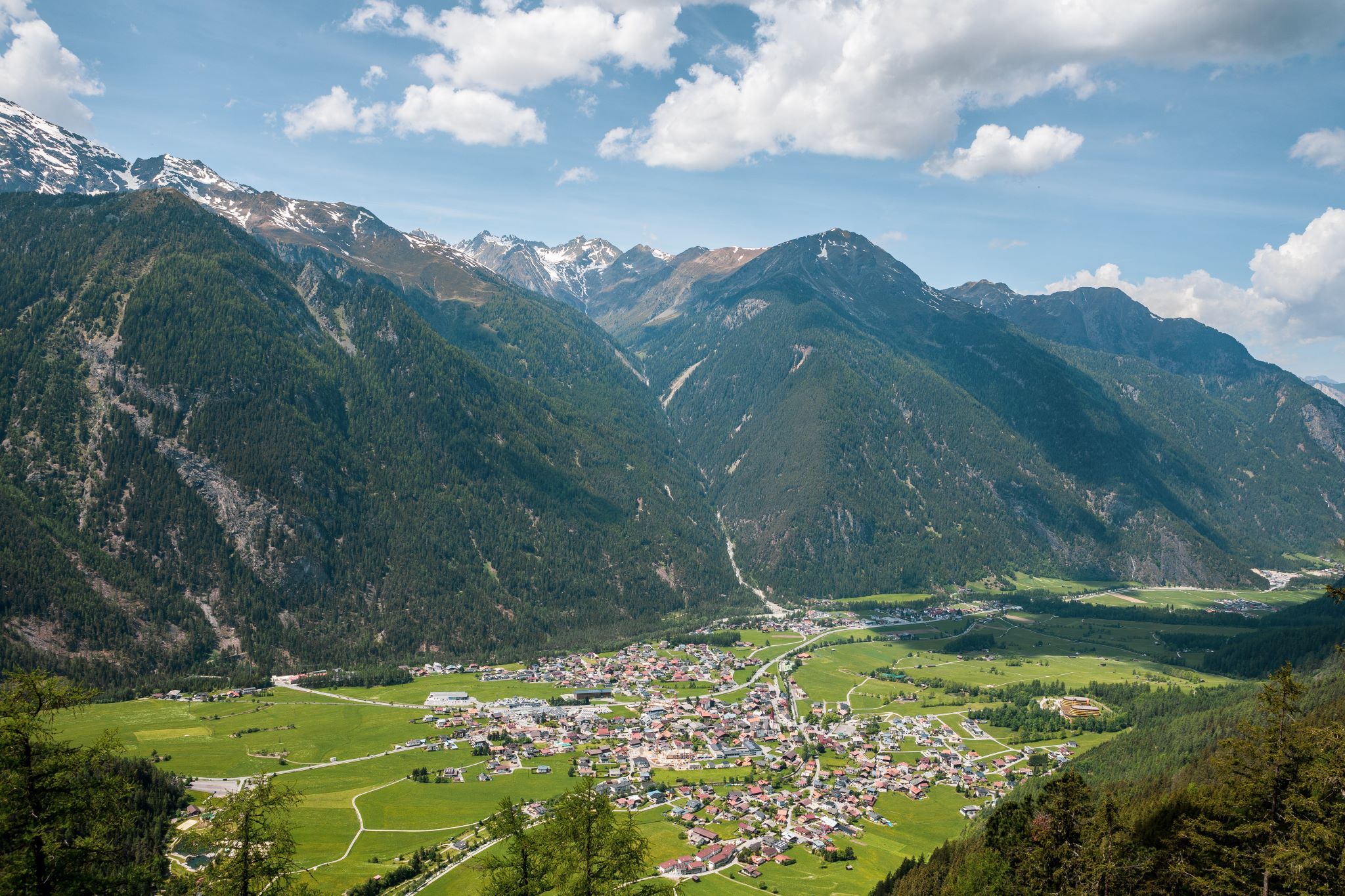
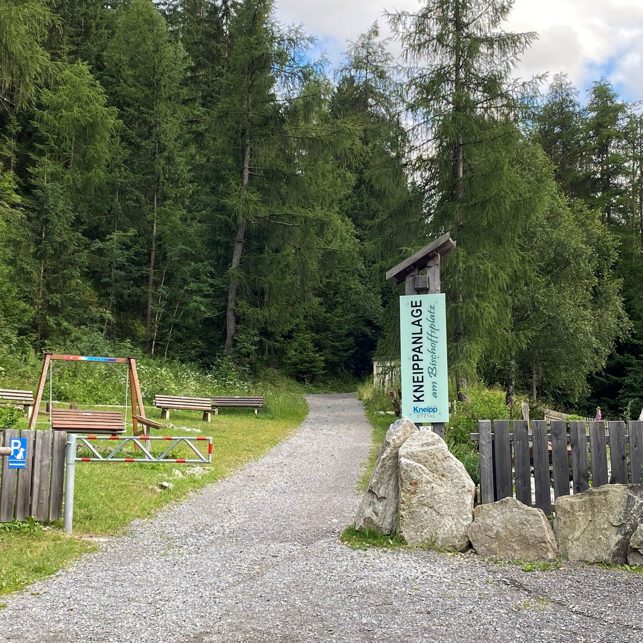
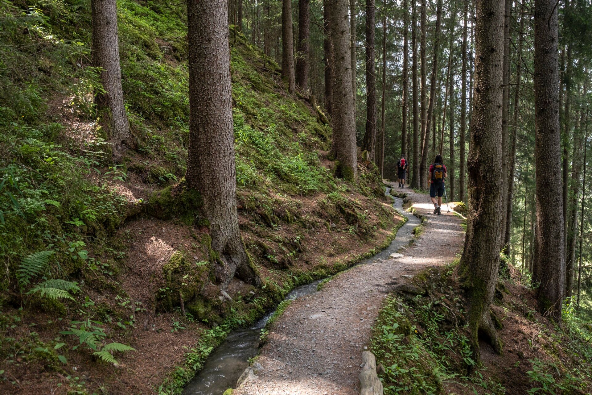
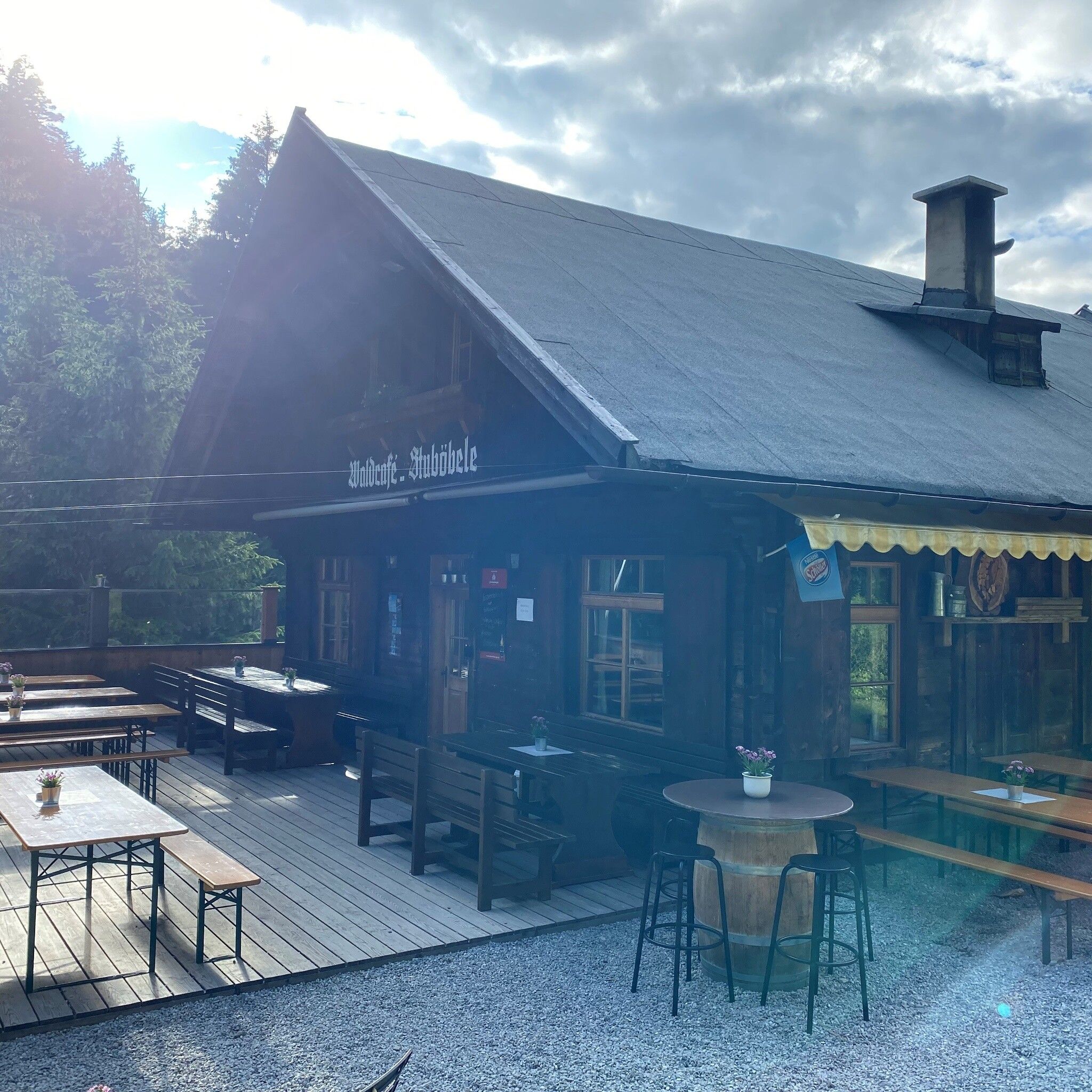
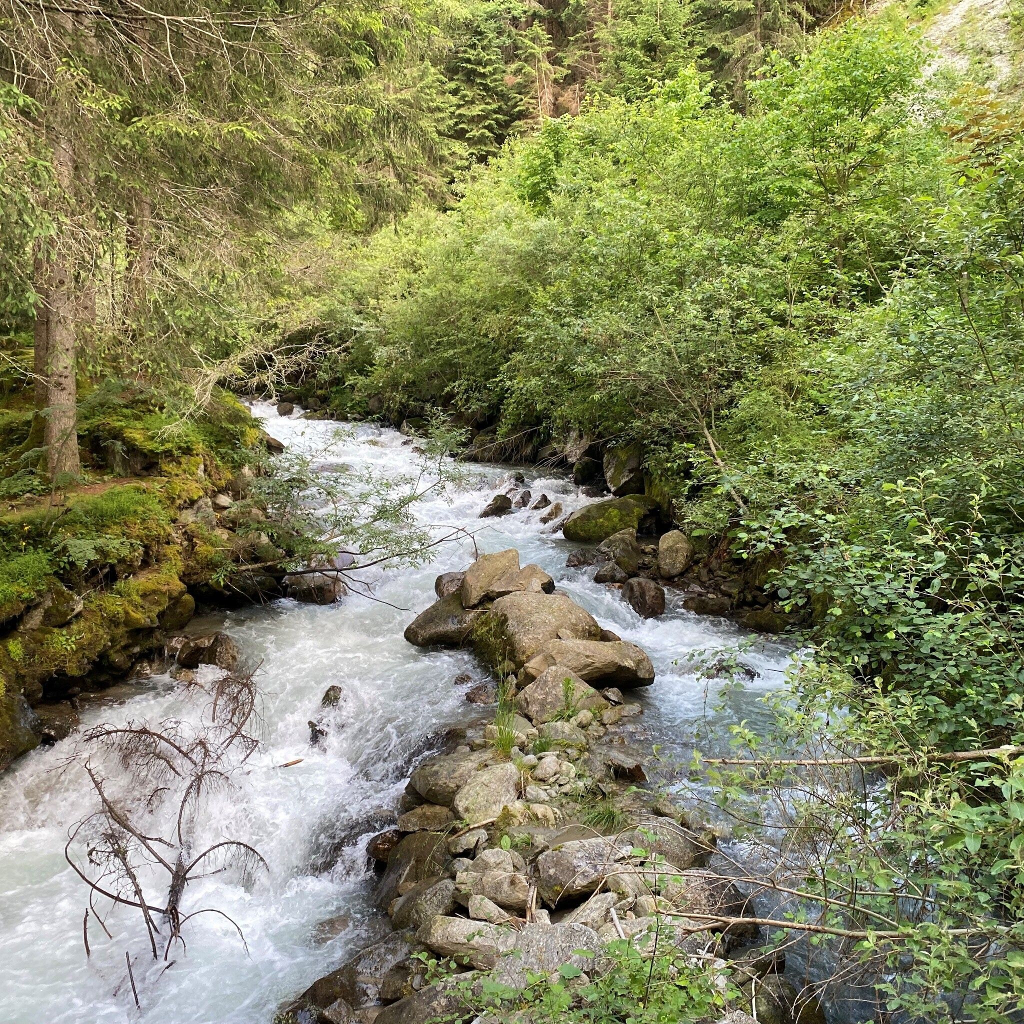
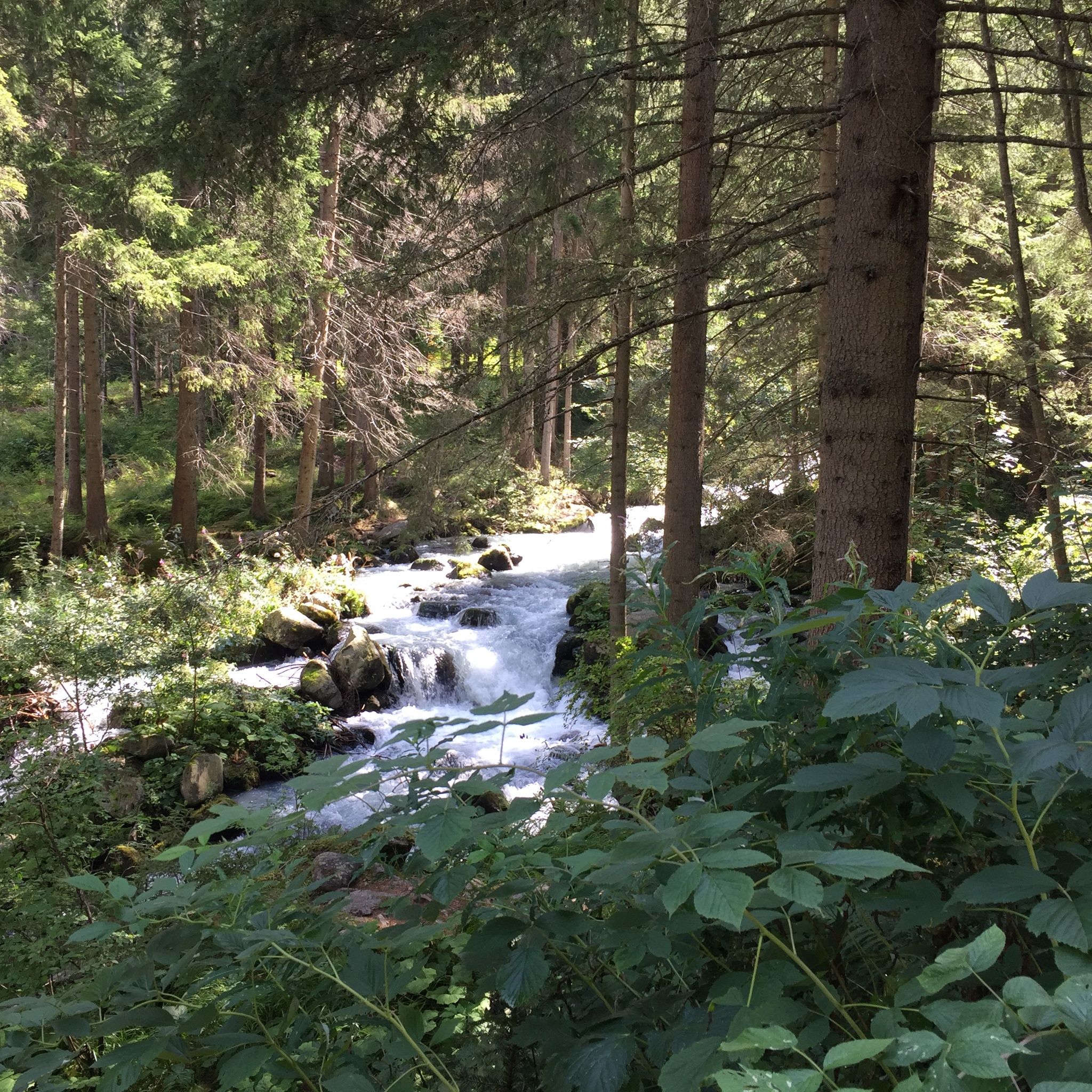
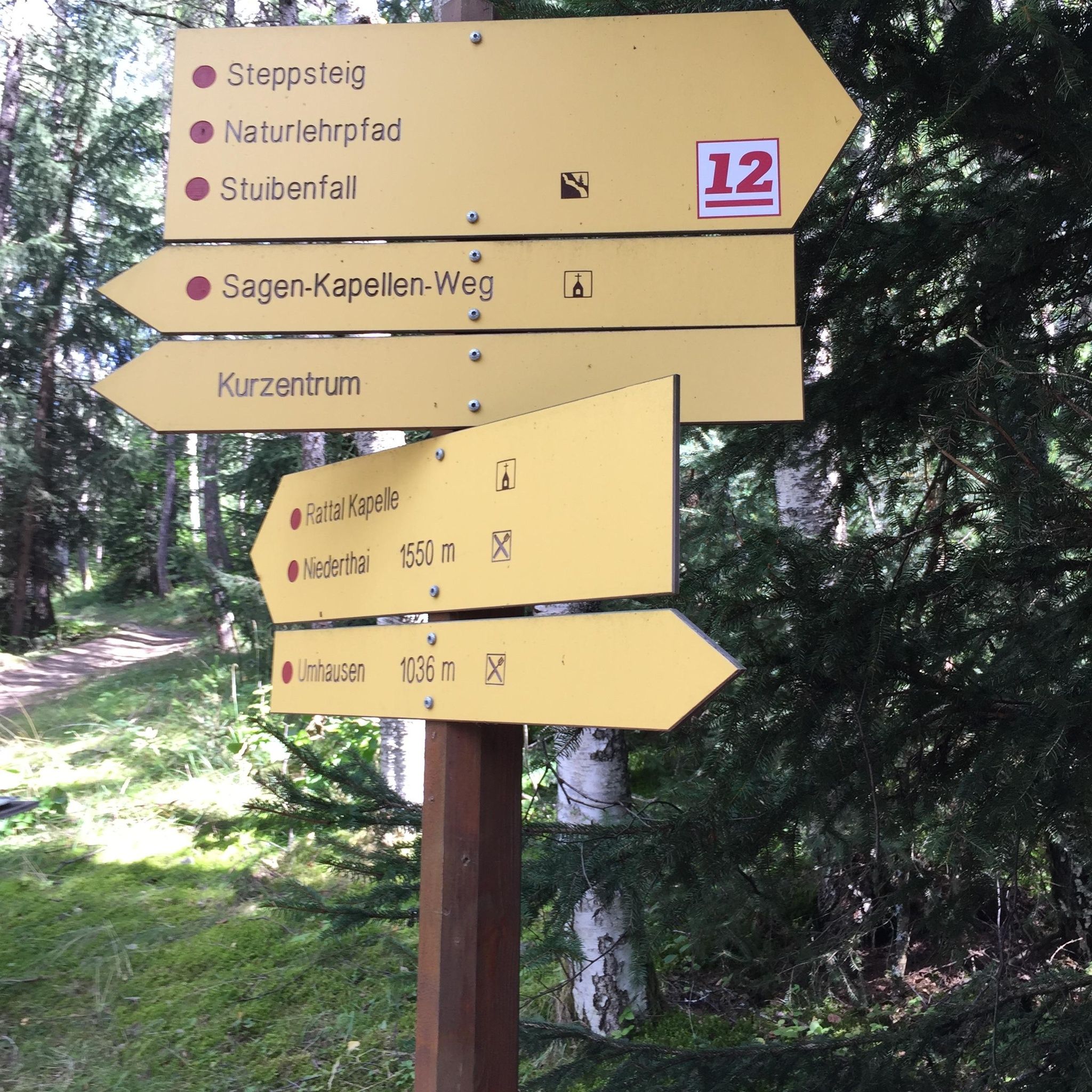
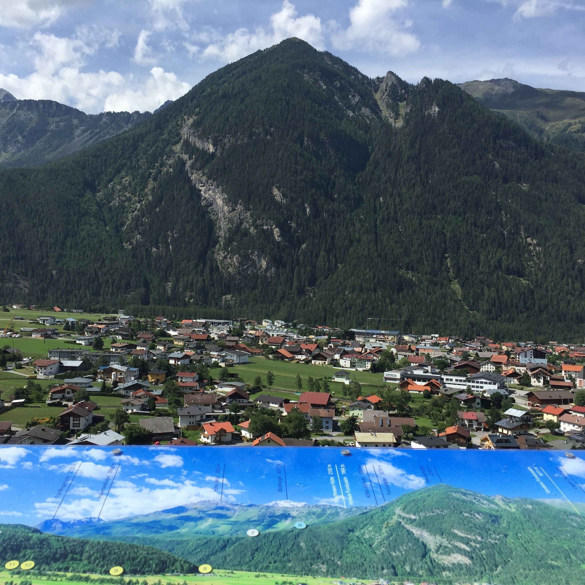
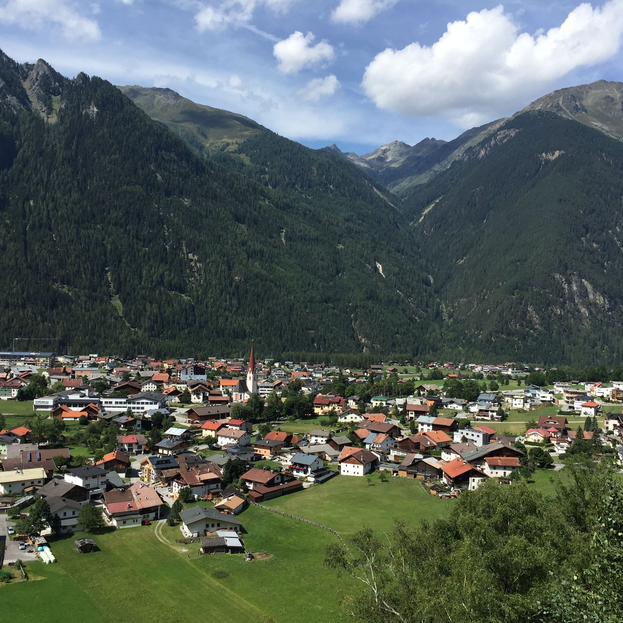
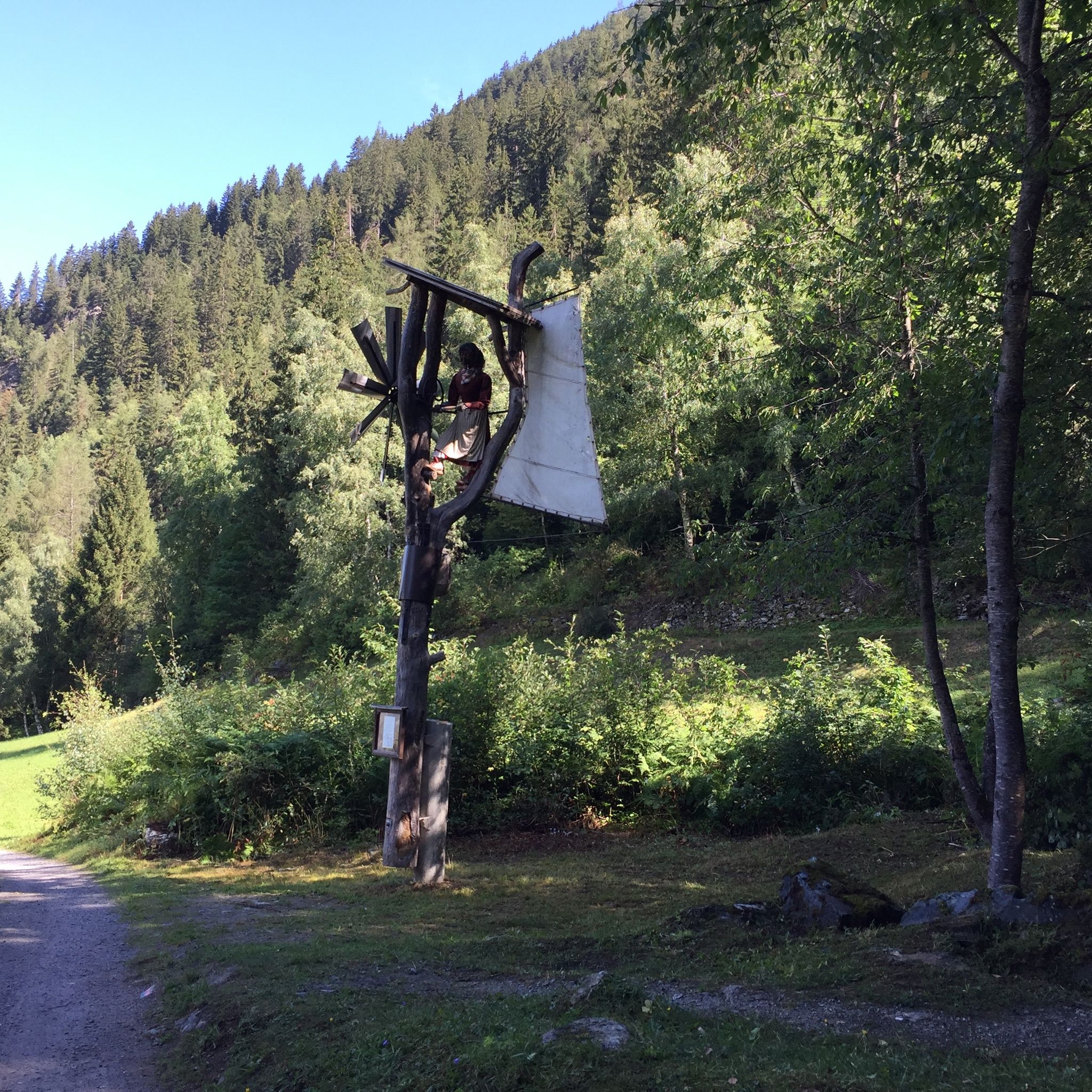
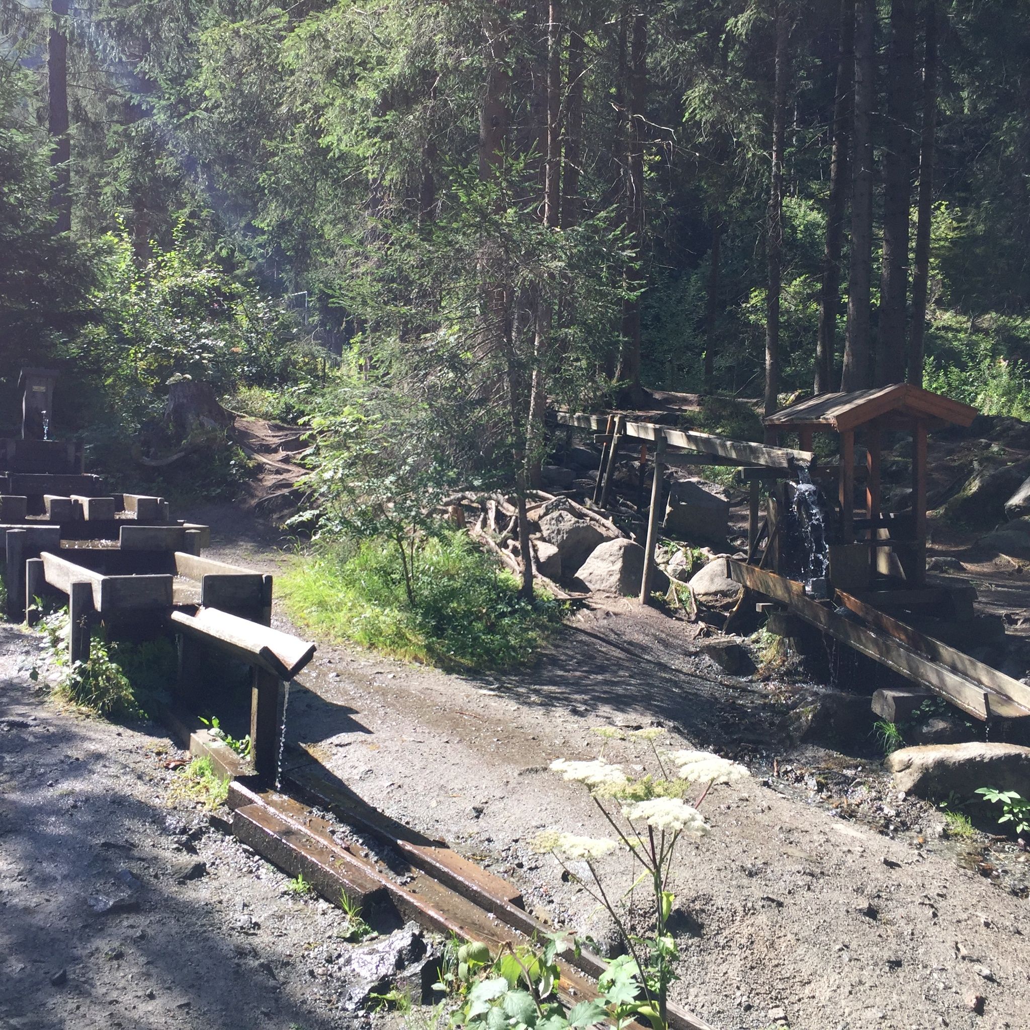
The hike towards Otzi Village/Umhausen bathing lake starts at the Mure parking lot. Walking through the village, the path leads up to the right in front of the Kneipphäusl into the Tauferberg forest. At the top a flat path branches off to the left - you are on the Waalweg. Right next to the flat high path runs a small stream that used to irrigate the fields. You will also find one or two waterwheels here. Follow the path until you reach the normal road, then turn left downhill (Umhausen village) to hike around Umhausen on the Steppsteig. Just before, you might encounter the Stuiben Nannele. Enjoy the idyllic view of Umhausen. Along the panorama boards on the Steppsteig you will learn more about the forest and its flora as well as its cultural special features. At the end of the path you reach the Vivea Hotel and then hike down behind it to a chapel, to then return to the starting point.

How do you find your treasure?

Along the route there are small caches (treasure boxes). In each cache there is a clue noted on a letter. Enter this letter in the treasure map. Only after you have found all the caches and formed the solution word, can the treasure chest be opened at one of the nearest Ötztal Tourism information points.


Getting here

  • Arrival by public transport

    By public transport. Take the bus to Umhausen - stop Arzthaus Umhausen. 

    The current bus timetable is available at: http://fahrplan.vvt.at 

  • Parking

    In Umhausen you have the following parking options available: 

    • Parking lot Mure | free of charge, only suitable for cars

More tours in the surrounding area

  • Ötztal Trek Stage 4

    Difficulty:difficult
    Length:8.9 kmDuration:4:00 hElevation uphill:802 m
  • Ötztal Trek Stage 10

    Difficulty:difficult
    Length:11.1 kmDuration:4:30 hElevation uphill:1,476 m
  • Ötztal Trek Stage 8

    Difficulty:difficult
    Length:9.3 kmDuration:3:30 hElevation uphill:274 m
  • Ötztal Trek

    Length:246.4 kmDuration:84:25 hElevation uphill:18,910 m
  • Ötztal Trek Stage 16

    Difficulty:difficult
    Length:6.9 kmDuration:2:30 hElevation uphill:358 m
  • Ötztal Trek Stage 20

    Difficulty:medium
    Length:6.4 kmDuration:3:00 hElevation uphill:610 m
  • Ötztal Trek Stage 11

    Difficulty:difficult
    Length:12.0 kmDuration:5:00 hElevation uphill:705 m
  • Ötztal Trek Stage 5

    Difficulty:difficult
    Length:8.1 kmDuration:3:30 hElevation uphill:1,125 m
  • Ötztal Trek Stage 6

    Difficulty:difficult
    Length:7.6 kmDuration:3:30 hElevation uphill:640 m
  • Ötztal Trek Stage 7

    Difficulty:difficult
    Length:5.3 kmDuration:2:00 hElevation uphill:376 m
  • Ötztal Trek Stage 17

    Difficulty:difficult
    Length:16.4 kmDuration:6:00 hElevation uphill:1,080 m
  • Ötztal Trek Stage 12

    Difficulty:difficult
    Length:4.8 kmDuration:2:00 hElevation uphill:592 m
  • Ötztal Trek Stage 21

    Difficulty:difficult
    Length:9.4 kmDuration:4:30 hElevation uphill:1,270 m
  • Ötztal Trek Stage 3

    Difficulty:difficult
    Length:10.4 kmDuration:4:00 hElevation uphill:842 m
  • Ötztal Trek Stage 1

    Difficulty:medium
    Length:18.6 kmDuration:6:30 hElevation uphill:1,561 m
  • Ötztal Trek Stage 14

    Difficulty:difficult
    Length:6.3 kmDuration:3:00 hElevation uphill:1,004 m
  • Ötztaler Urweg

    Length:189.1 kmDuration:72:19 hElevation uphill:9,428 m
  • Ötztal Trek Stage 22

    Difficulty:difficult
    Length:21.5 kmDuration:8:00 hElevation uphill:647 m
  • Stuibenfall hike - Umhausen

    Opening hours:open
    Difficulty:easy
    Length:2.9 kmDuration:1:45 hElevation uphill:456 m
  • Piccard bridge loop hike - Obergurgl

    Opening hours:closed
    Difficulty:difficult
    Length:18.2 kmDuration:8:00 hElevation uphill:1,111 m
Newsletter

The mountain is calling? So does our newsletter!

In our monthly newsletter we reveal the best holiday tips for Tyrol.