
Opening hours:Open today
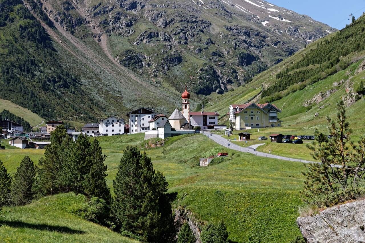
Place:Vent
:Restaurant, Alpine pasture / hut / mountain restaurant
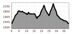
Vent-Breslauer Hütte-Vernagthütte-Hochjoch Hospiz- Saykogel-Martin Busch Hütte-Kreuzspitze-Vent
Wearing hiking equipment such as breathable and weather-appropriate outdoor clothing, ankle-high hiking boots, wind, rain, and sun protection, a hat, and possibly gloves is recommended! It is also important to bring sufficient provisions as well as a first aid kit, a mobile phone, and possibly a hiking map.
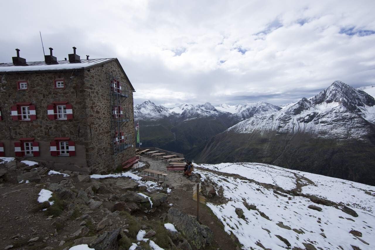
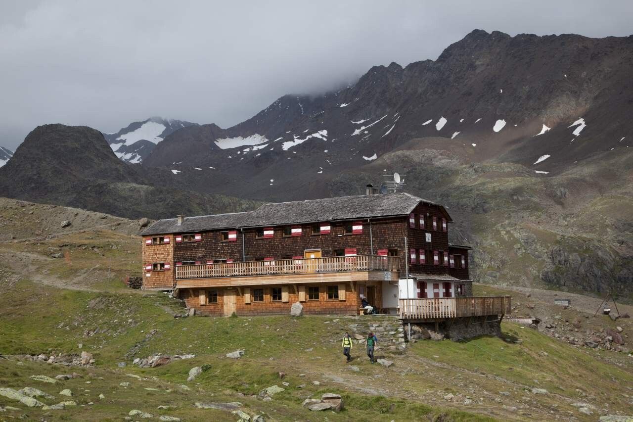
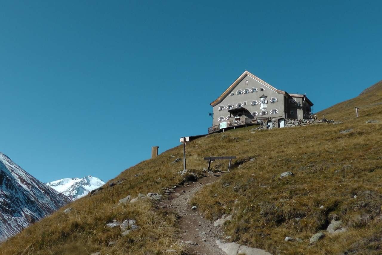
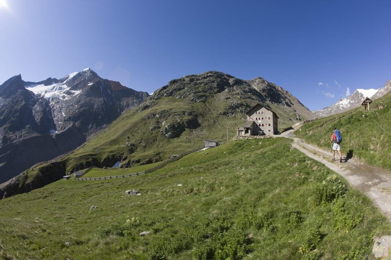
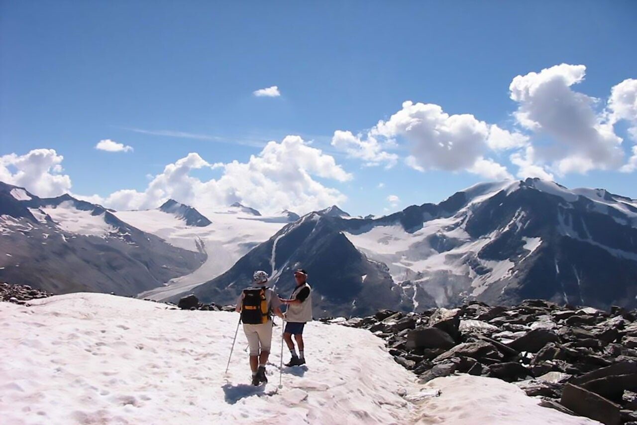
From Vent either via a very wide, gently ascending path or a slightly steeper path below the chairlift to Stableinalm. From Stableinalm, first moderately on a wide path, later steeply on a narrow mountain trail ascending to Breslauer Hütte. Over the Seufertweg without significant climb into the Vernagtbach valley. From there up to Vernagthütte. On an easy path to Hochjoch Hospiz. Overnight stay. From there descent to the iron bridge over the Hintereisbach and steep switchbacks to the junction to the Martin Busch Hütte. Over very rocky terrain, first easy then steeply ascending to the summit (two small climbing sections in between, no rope protection available - free from dizziness and surefootedness required). Descent over scree to Martin Busch Hütte. Overnight stay. From Martin Busch Hütte steeply up, past the wall remains of Brizzihütte and past Brizzisee. From the summit, there is a unique panoramic view of the entire Ötztal mountains, as well as the highest and most beautiful summits of the Eastern Alps. Descent to Martin Busch Hütte and further to Vent.
Travel comfortably and safely by train to the Ötztal train station. The final stop or drop-off point is the ÖTZTAL station. Afterwards, you can conveniently and quickly travel by public bus or local taxi companies through the entire valley to your desired destination! The current bus schedule is available at: http://fahrplan.vvt.at
In front of the village and at the valley station of the chairlift (fee required)


