Themed hikes Waalweg - Norbertshöhe

closed
Nauders / Sesvenna Group
Difficulty ratings: easy
Route length: 5.6 km
Duration: 2:00 h

Waalweg - Norbertshöhe

Tour information

  • Requirement: easy
  • Length: 5.6 km
  • Duration: 2:00 h
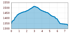
  • Elevation uphill:168 hm
  • Elevation downhill:163 hm
Highest point1,537 m

Starting point

Norbertshöhe

Finishing point

Norbertshöhe

Features

  • Circular route
  • Suitable for families
  • suitable for pushchairs
Source: TVB Tiroler Oberland

Description

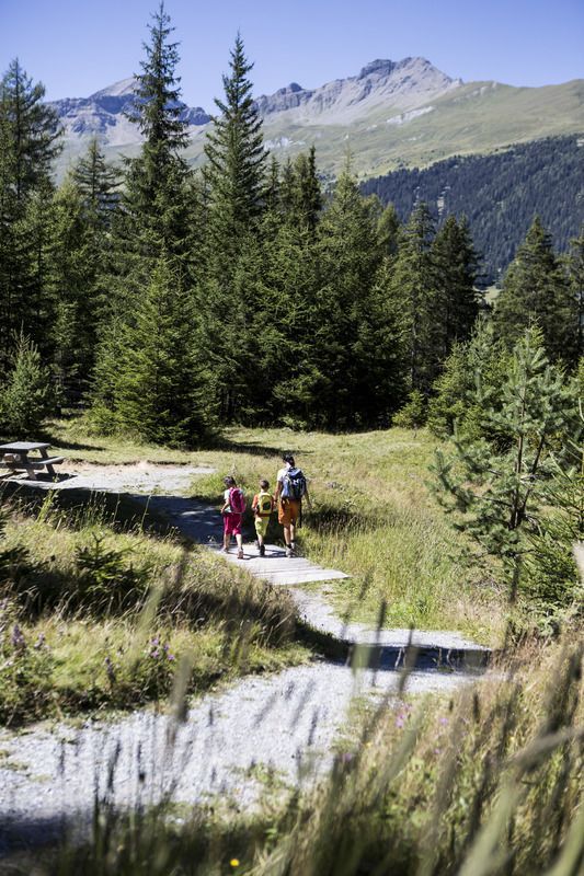
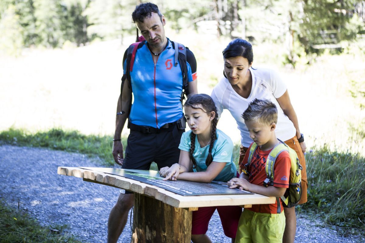
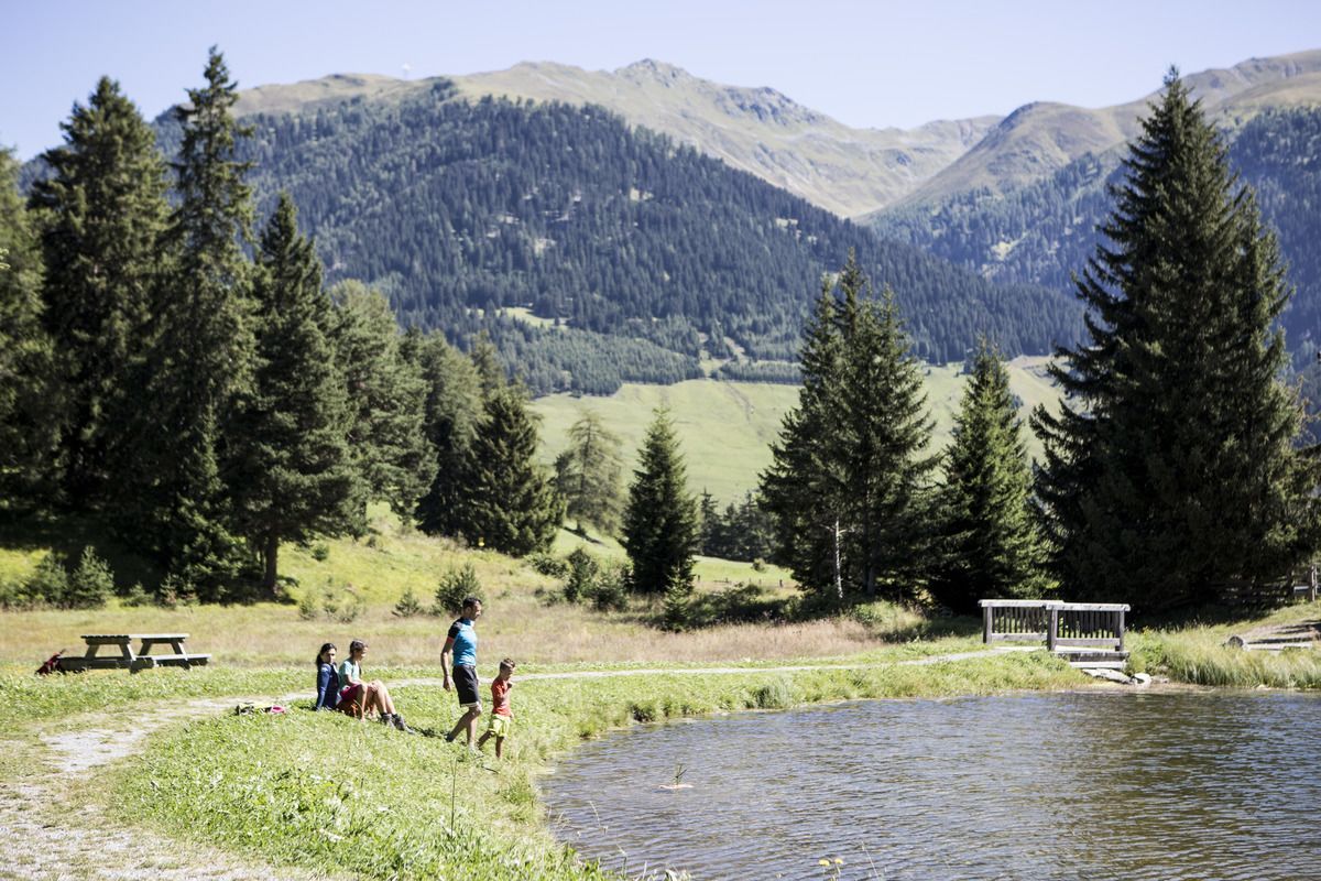
The starting point of the beautiful hike is the valley station of the Mutzkopf cable car. Along Trail no. 4, you first cross meadows to the Mösle natural pond. The quiet wetland offers a habitat for numerous plant and animal species. Children can have fun in the forest playground and on the wooden play equipment. From the natural pond, follow Trail no. 5b along the waterway. This humidifies the slopes below Norbertshöhe and feeds the Mösle natural pond. The route leads to the “Plant garden” with a small climbing garden and a Kneipp pool to cool off. The way back is via the road (No. 5) to the Mösle natural lake and on to Norbertshöhe (refreshment available). You can get back to Nauders along Hiking trails 1 and 3.

Weather

Today

partly Cloudy
16°C/6°C
50%0.3l5 km/h

Sat

clear sky
19°C/4°C
0%0l5 km/h

Sun

mainly clear
20°C/6°C
30%0.7l5 km/h
Go to weather forecast

More tours in the surrounding area

  • Großer Mutzkopf

    Opening hours:closed
    Difficulty:easy
    Length:10.3 kmDuration:4:00 hElevation uphill:507 m
  • Ötztal Trek Stage 15

    Difficulty:difficult
    Length:6.5 kmDuration:2:30 hElevation uphill:332 m
  • Rolli-Wanderung Aifner Alm

    Difficulty:medium
    Length:6.0 kmDuration:2:30 hElevation uphill:460 m
  • Rolli-Wanderung Nassereinalm

    Difficulty:medium
    Length:5.5 kmDuration:1:45 hElevation uphill:269 m
  • Rolli-Wanderung Gepatschhaus

    Length:8.5 kmDuration:1:45 hElevation uphill:156 m
  • Rolli-Wanderung Falkaunsalm

    Difficulty:medium
    Length:4.5 kmDuration:1:45 hElevation uphill:392 m
  • Talwanderweg Kaunertal

    Difficulty:easy
    Duration:2:30 hElevation uphill:295 m
  • Kaunerberger Wasserweg

    Opening hours:closed
    Difficulty:medium
    Length:15.2 kmDuration:6:00 hElevation uphill:935 m
  • Gletscherlehrpfad Gepatschferner

    Difficulty:medium
    Length:8.4 kmDuration:3:45 hElevation uphill:400 m
  • Hohe Aifnerspitze (2.779 m)

    Difficulty:medium
    Length:7.2 kmDuration:5:15 hElevation uphill:815 m
  • Kapelle Maria Schnee

    Difficulty:easy
    Length:1.7 kmDuration:0:30 hElevation uphill:90 m
  • Radurschlklamm Gorge

    Opening hours:open
    Difficulty:medium
    Length:7.5 kmDuration:3:20 hElevation uphill:442 m
  • Rundwanderung Frudiger

    Difficulty:medium
    Length:13.5 kmDuration:4:55 hElevation uphill:588 m
  • Verpeilschlucht

    Opening hours:open
    Difficulty:medium
    Duration:3:00 hElevation uphill:386 m
Newsletter

The mountain is calling? So does our newsletter!

In our monthly newsletter we reveal the best holiday tips for Tyrol.