Mountain hikes Wanderung zum Ulrichskopf

Nauders / Ötztal Alps
Difficulty ratings: medium
Route length: 10.0 km
Duration: 7:00 h

Wanderung zum Ulrichskopf

Tour information

  • Requirement: medium
  • Length: 10.0 km
  • Duration: 7:00 h
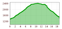
  • Elevation uphill:1,063 hm
  • Elevation downhill:1,713 hm

Starting point

Labaunalm

Finishing point

Nauders

Features

  • Circular route
Source: TVB Tiroler Oberland

Description

With the hiking taxi you first travel from Nauders to Labaunalm. On this impressive hike you
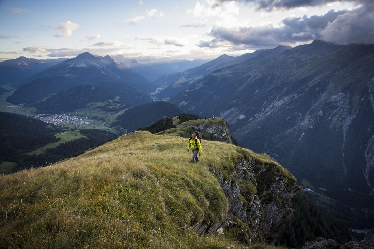
circle the Nauders local mountain, the Schmalzkopf. Starting from the mountain pasture, Trail no. 14 leads past blooming alpine roses (June/July) to the Labaun Hochleger (no. 15). Alternatively, you can get there via a forest path. After about 200 metres above the Hochleger, the route goes north via a newly built path (no. 45). This leads past the Rosskopf and up to the summit of the Ulrichskopf (2,457 m). The way back is first a short distance back over the ridge and then on Hiking trail no. 27 via Sadres to Trail no. 26 on the Saderer Joch. From there via Trail no. 14 to Labaunalm. After a leisurely stop, you return to the village via the Parditschhof.
 

Weather

Today

partly Cloudy
16°C/6°C
50%0.2l5 km/h

Sat

clear sky
19°C/4°C
0%0l5 km/h

Sun

mainly clear
19°C/6°C
20%0.3l5 km/h
Go to weather forecast

More tours in the surrounding area

  • Gletscherlehrpfad Gepatschferner

    Difficulty:medium
    Length:8.4 kmDuration:3:45 hElevation uphill:400 m
  • Hohe Aifnerspitze (2.779 m)

    Difficulty:medium
    Length:7.2 kmDuration:5:15 hElevation uphill:815 m
  • Kapelle Maria Schnee

    Difficulty:easy
    Length:1.7 kmDuration:0:30 hElevation uphill:90 m
  • Radurschlklamm Gorge

    Opening hours:open
    Difficulty:medium
    Length:7.5 kmDuration:3:20 hElevation uphill:442 m
  • Rundwanderung Frudiger

    Difficulty:medium
    Length:13.5 kmDuration:4:55 hElevation uphill:588 m
  • Verpeilschlucht

    Opening hours:open
    Difficulty:medium
    Duration:3:00 hElevation uphill:386 m
  • Großer Mutzkopf

    Opening hours:closed
    Difficulty:easy
    Length:10.3 kmDuration:4:00 hElevation uphill:507 m
  • Rolli-Wanderung Aifner Alm

    Difficulty:medium
    Length:6.0 kmDuration:2:30 hElevation uphill:460 m
  • Rolli-Wanderung Nassereinalm

    Difficulty:medium
    Length:5.5 kmDuration:1:45 hElevation uphill:269 m
  • Rolli-Wanderung Gepatschhaus

    Length:8.5 kmDuration:1:45 hElevation uphill:156 m
  • Rolli-Wanderung Falkaunsalm

    Difficulty:medium
    Length:4.5 kmDuration:1:45 hElevation uphill:392 m
  • Talwanderweg Kaunertal

    Difficulty:easy
    Duration:2:30 hElevation uphill:295 m
  • Kaunerberger Wasserweg

    Opening hours:closed
    Difficulty:medium
    Length:15.2 kmDuration:6:00 hElevation uphill:935 m
  • Ötztal Trek Stage 15

    Difficulty:difficult
    Length:6.5 kmDuration:2:30 hElevation uphill:332 m
Newsletter

The mountain is calling? So does our newsletter!

In our monthly newsletter we reveal the best holiday tips for Tyrol.