Winter hike Winter hiking trail - Around Vent 50

open
Sölden / Ötztaler Alpen
Difficulty ratings: easy
Route length: 2.7 km
Duration: 1:15 h

MOUNTAINEERING VILLAGE VENT -> Circular route -> MOUNTAINEERING VILLAGE VENT

Tour information

  • Requirement: easy
  • Length: 2.7 km
  • Duration: 1:15 h
  • Elevation uphill:89 hm
  • Elevation downhill:89 hm
Highest point1,930 m

Starting point

Mountaineering Village Vent

Finishing point

Mountaineering Village Vent
  • Fitness level 2 / 6
  • Technique 1 / 6

Best time of year

  • January
  • February
  • March
  • April
  • May
  • June
  • July
  • August
  • September
  • October
  • November
  • December

Equipment

Appropriate equipment such as breathable and weather-appropriate outdoor clothing, wind, rain, snow, and sun protection, a hat, and gloves is required for all hikes and routes.

It is necessary to bring a first aid kit, a mobile phone, and possibly a route map, as well as sufficient provisions on tours without opportunities to stop for refreshment.

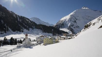
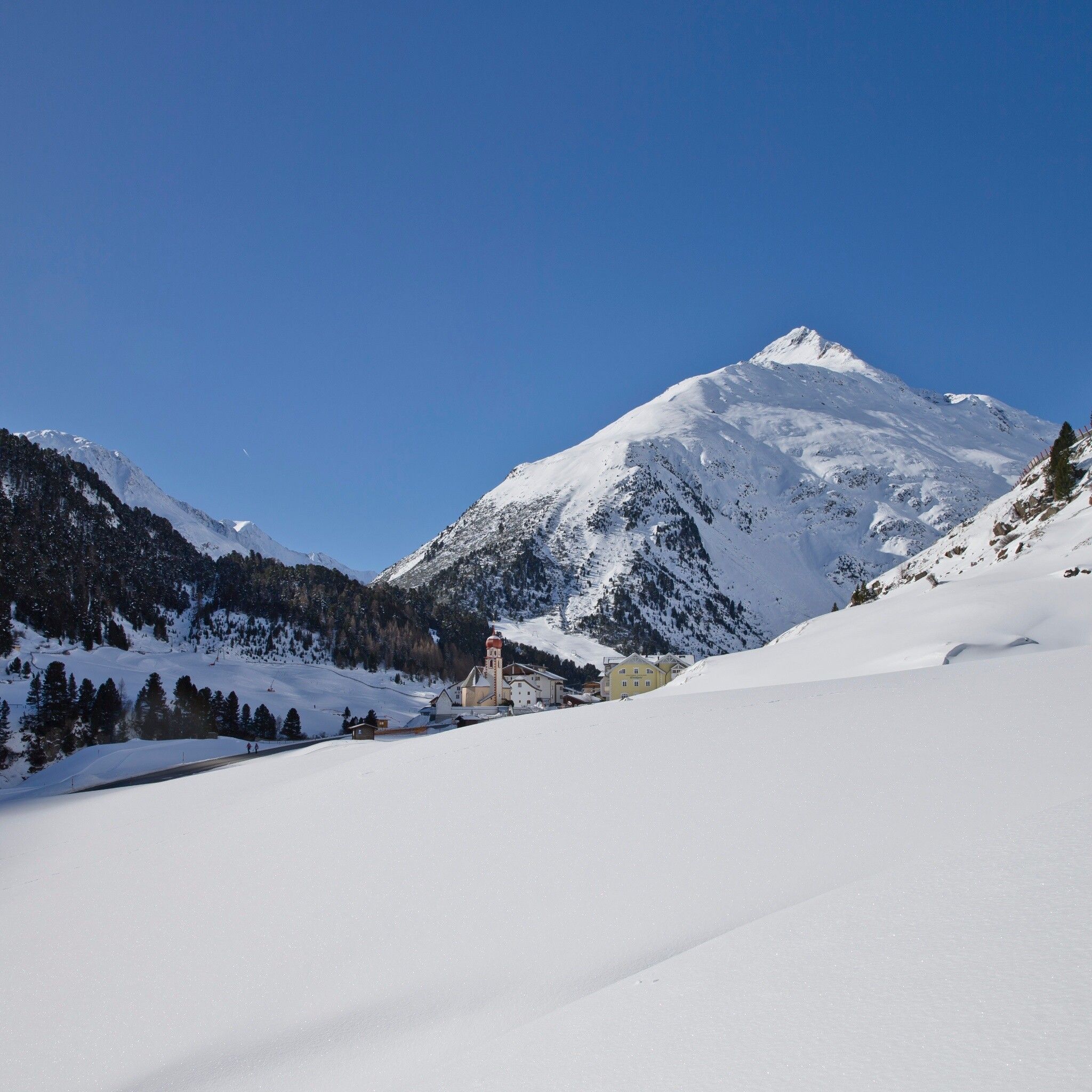
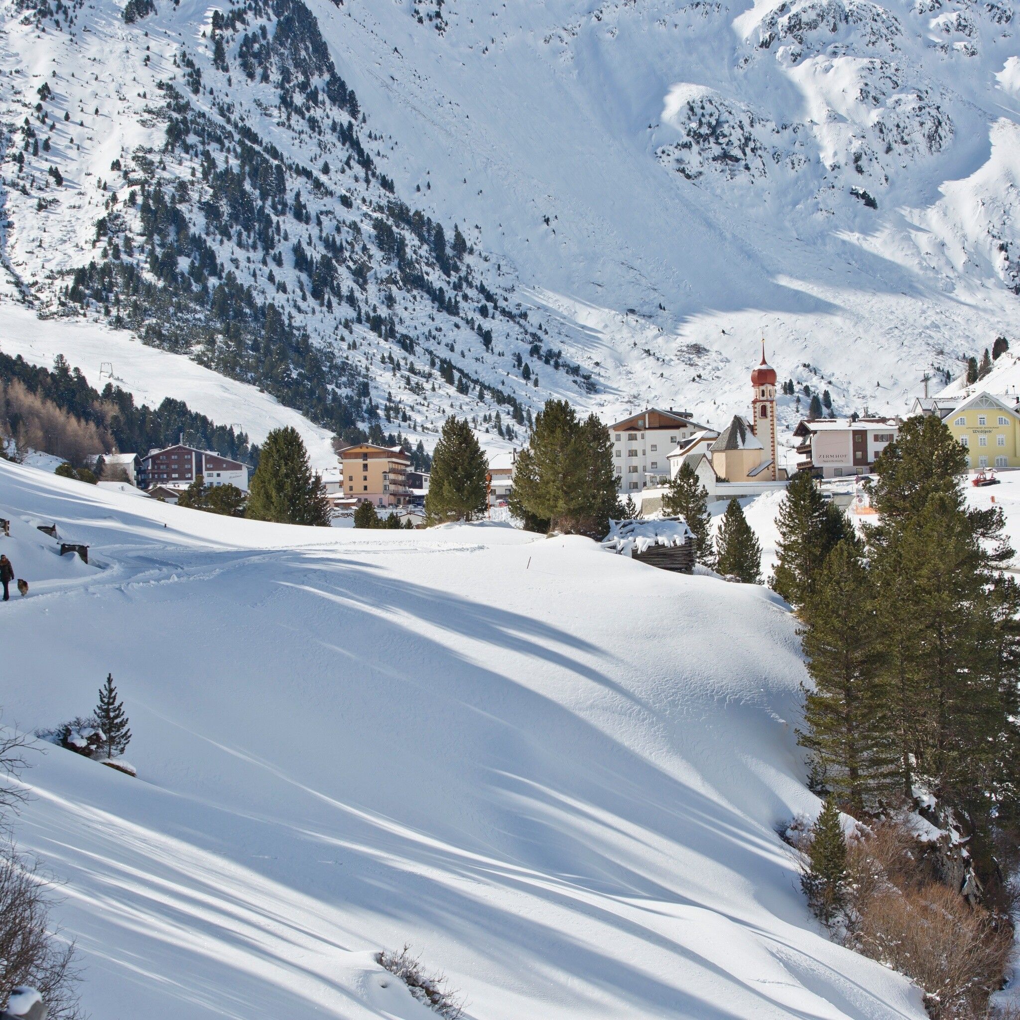
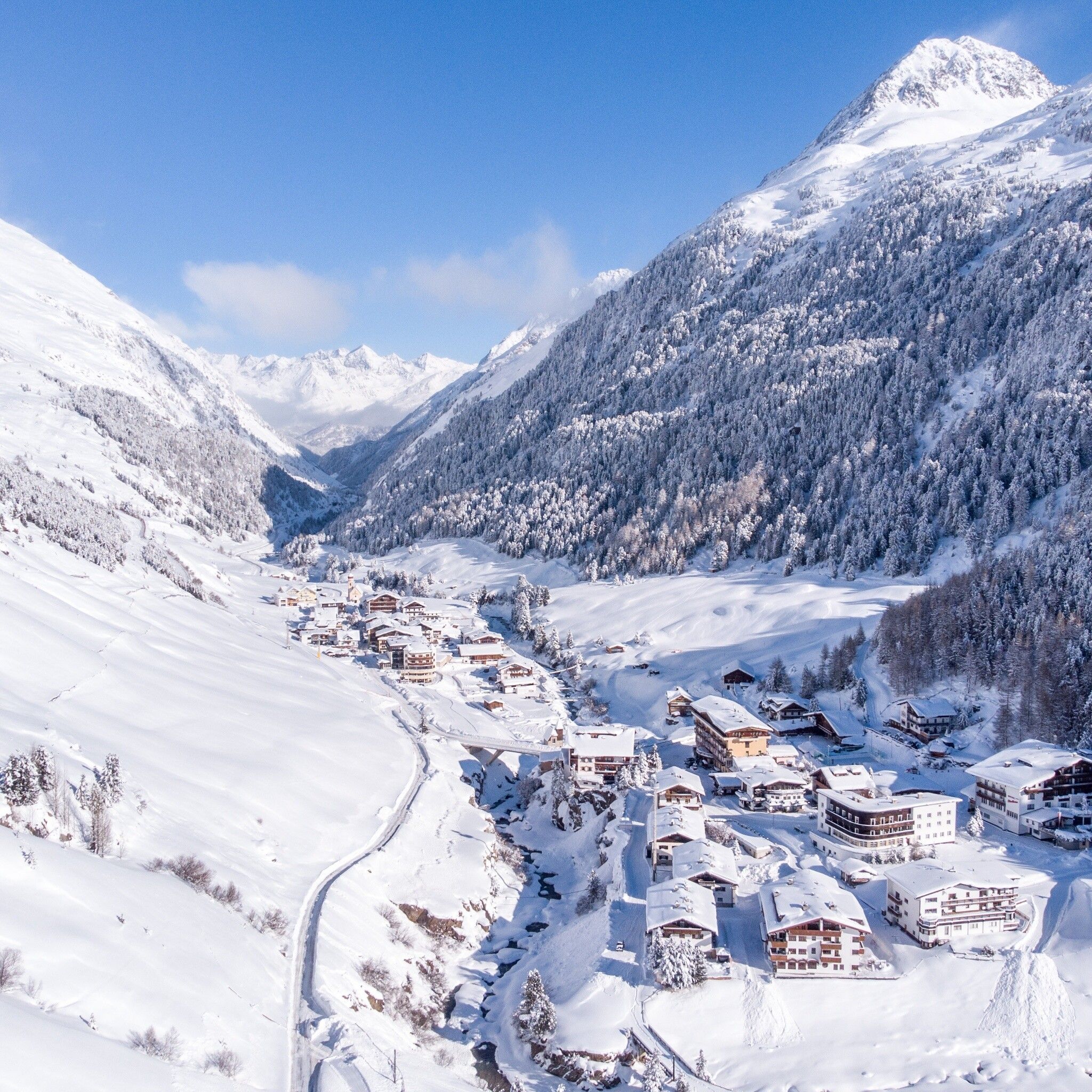
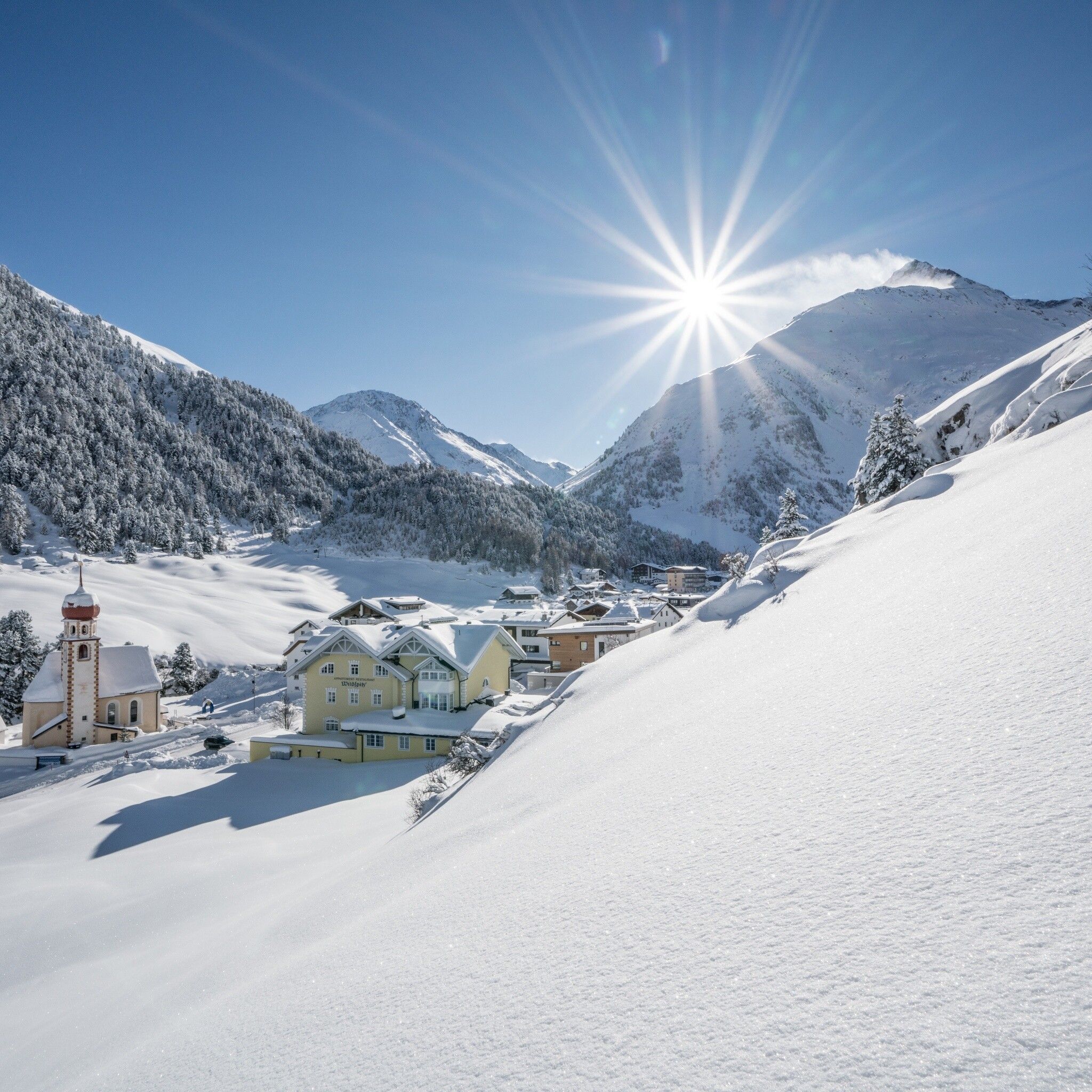
Please inform yourself about the trail conditions and status of the respective winter hiking trails at Ötztal Tourism before starting.

Ötztal TourismT +43 (0) 5 72 00 220vent@oetztal.com

Wearing hiking equipment such as breathable and weather-appropriate outdoor clothing, ankle-high hiking boots, wind, rain and sun protection, a hat, and possibly gloves is recommended! It is also important to bring sufficient provisions as well as a first aid kit, a mobile phone, and possibly a hiking map.

Source: Ötztal

Description

A little route in honor: Although ski tourers tend to think of the famous multi-day high-altitude route over the three-thousanders when they hear "Venter Runde," this mini version of the Venter Runde has the advantage that you can view the village from its most beautiful sides without a backpack and long planning. Follow the church along the street through the village, continue over the bridge, then turn left to the Reinstadler house. Pass the Gampen lift and walk about 1 km along the forest edge to the bridge over the Venter Ache, cross it and return to Vent via the street. Well prepared, possible for everyone.


Getting here

  • Arrival by public transport

    Travel comfortably and safely by train to the Ötztal train station. The final stop and exit point is the ÖTZTAL station. Afterwards, you can travel conveniently and quickly with public transport or local taxi companies through the entire valley to your desired destination! The current bus schedule is available at: http://fahrplan.vvt.at

  • Parking

    In the mountaineering village Vent, the following parking options are available to you.

    - In summer, in front of the village (parking meter, coins only or EC card) and at the valley station of the chairlift (at the mountain railway ticket counter) - in winter only at the valley station of the chairlift. Cost: €6.00 per day/car

More tours in the surrounding area

Newsletter

The mountain is calling? So does our newsletter!

In our monthly newsletter we reveal the best holiday tips for Tyrol.