Mountain hikes Winterhiking around Vent

Sölden /
Difficulty ratings: easy
Route length: 2.8 km
Duration: 1:00 h

WINTER WALKING AROUND VENT -> VENT

Tour information

  • Requirement: easy
  • Length: 2.8 km
  • Duration: 1:00 h
  • Elevation uphill:75 hm
  • Elevation downhill:88 hm
Highest point1,930 m

Starting point

Vent

Finishing point

Vent
  • Fitness level 2 / 6
  • Technique 2 / 6

Best time of year

  • January
  • February
  • March
  • April
  • May
  • June
  • July
  • August
  • September
  • October
  • November
  • December

Equipment


Ötztal TourismusT +43 (0) 57200 220vent@oetztal.com

Appropriate equipment such as breathable suitable outdoor clothes for the weather, wind-, rain-, snow- and sun protection, hat and gloves is for all hikes and tours necessary. Please bring a first-aid box, a mobile phone, a walking map and if there is no hut on the way a snack and enough to drink.
Source: Ötztal

Description

Walk from the church through the village and turn left after the bridge to Haus Reinstadler -> approx. 1 km along the edge of the forest -> to the bridge and back to Vent, approx. 2 km. Refreshments: inns and restaurants in Vent

Getting here

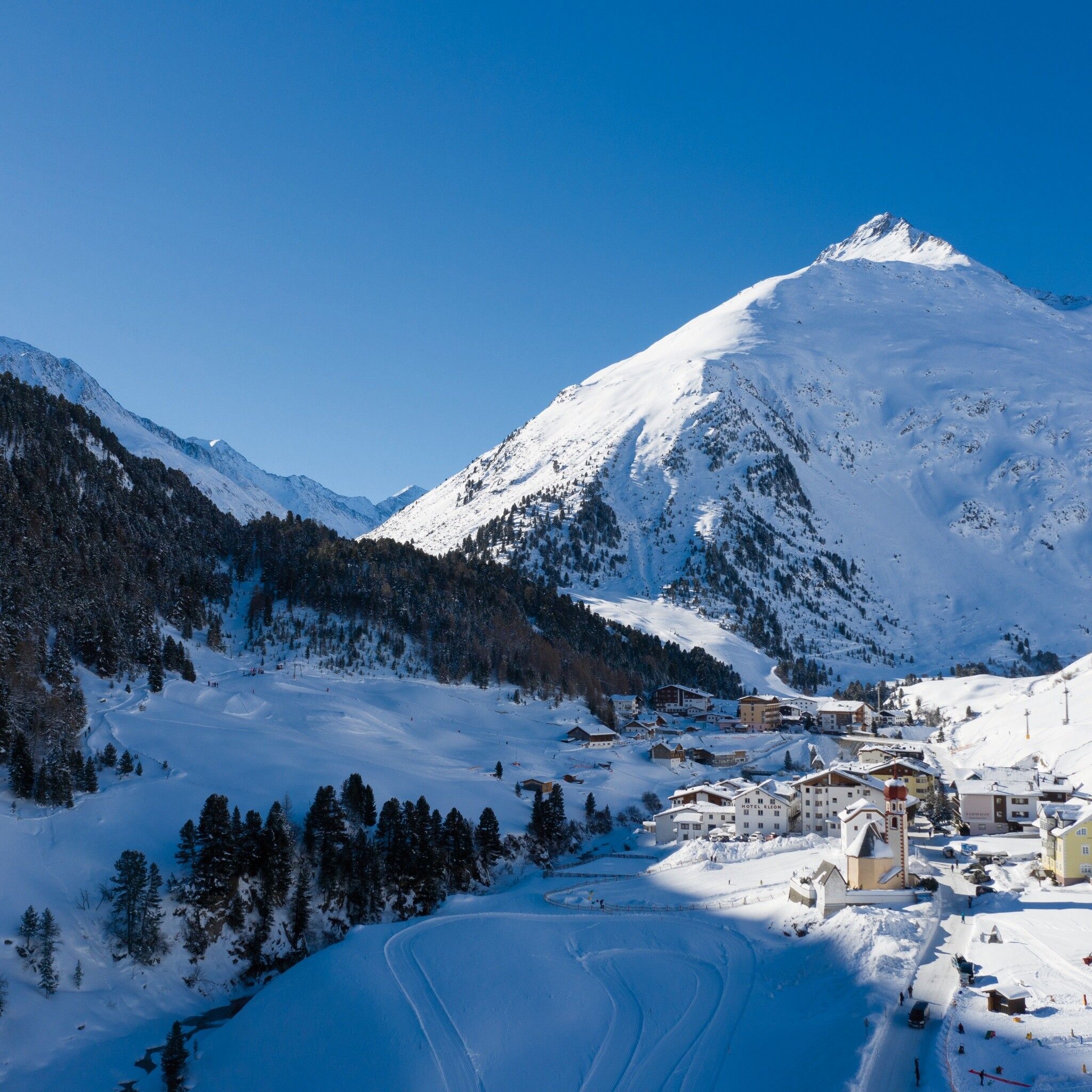
  • Arrival by public transport

    Enjoy a both comfortable and relaxing train ride to the train station in Ötztal Bahnhof. You get off the train in ÖTZTAL Bahnhof where you change to a public bus or local taxi. The current bus schedule can be found at: http://fahrplan.vvt.at

  • Parking

    The following parking options are available in the mountaineering village Vent

    - In summertime in front of the village (parking machine, only coins or EC card) and at the chairlift (at the ticket office of the mountain railways)

    - In wintertime only at the chairlift Cost: € 6,00 per day/car

More tours in the surrounding area

Newsletter

The mountain is calling? So does our newsletter!

In our monthly newsletter we reveal the best holiday tips for Tyrol.