Themed hikes Wunderpfad Pfeil & Bogen Mission

open
Pfunds / Samnaun Group
Difficulty ratings: easy
Route length: 4.4 km
Duration: 2:30 h

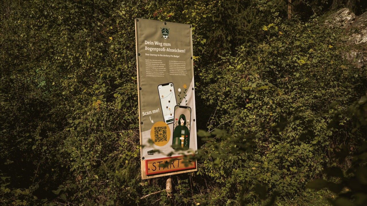
Your Journey to the Archery Pro Badge!
Tour information

  • Requirement: easy
  • Length: 4.4 km
  • Duration: 2:30 h
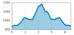
  • Elevation uphill:139 hm
  • Elevation downhill:137 hm
Highest point1,095 m

Starting point

Infobüro TVB | Pfunds

Finishing point

Infobüro TVB | Pfunds
  • Fitness level 1 / 6
  • Technique 1 / 6

Best time of year

  • January
  • February
  • March
  • April
  • May
  • June
  • July
  • August
  • September
  • October
  • November
  • December

Trail condition

trail, asphalt

Equipment

We recommend equipment suitable for the tour and weather conditions, including sturdy shoes, weatherproof clothing, food, and appropriate maps.
Source: TVB Tiroler Oberland

Description

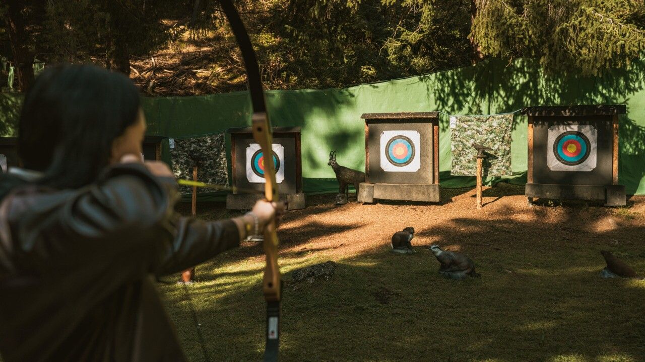
Join Mara Falkenstein on the interactive adventure trail through the Archery Park “Gangeles Ebene”. On your smartphone, exciting lessons, tricky challenges, and valuable archery tips await you at every step. Master seven different badges across 15 stations and work your way, step by step, toward the valuable Archery Pro Badge.
Click here for the digital "Wunderpfad": https://app.wunderweg.com/tiroler-oberland

A ticket for 3 Länder Bogenpark is mandatory. You can book your ticket and equipment online: https://www.3-laender-bogenpark.com/en/3-L%C3%A4nder-Bogenpark/tickets-prices-rentals/experiences

Getting here

  • Arrival by public transport

    Line 210, Bus stop Pfunds Stuben Kirche
    Line 273, Bus stop Pfunds Stuben Mittelschule

  • Parking

    Parking area at the roundabout, free of charge

Weather

Today

partly Cloudy
18°C/8°C
55%0.6l5 km/h

Sat

clear sky
21°C/6°C
0%0l5 km/h

Sun

mainly clear
22°C/8°C
35%0.9l5 km/h
Go to weather forecast

More tours in the surrounding area

  • Großer Mutzkopf

    Opening hours:closed
    Difficulty:easy
    Length:10.3 kmDuration:4:00 hElevation uphill:507 m
  • Ötztal Trek Stage 15

    Difficulty:difficult
    Length:6.5 kmDuration:2:30 hElevation uphill:332 m
  • Rolli-Wanderung Aifner Alm

    Difficulty:medium
    Length:6.0 kmDuration:2:30 hElevation uphill:460 m
  • Rolli-Wanderung Nassereinalm

    Difficulty:medium
    Length:5.5 kmDuration:1:45 hElevation uphill:269 m
  • Rolli-Wanderung Gepatschhaus

    Length:8.5 kmDuration:1:45 hElevation uphill:156 m
  • Rolli-Wanderung Falkaunsalm

    Difficulty:medium
    Length:4.5 kmDuration:1:45 hElevation uphill:392 m
  • Talwanderweg Kaunertal

    Difficulty:easy
    Duration:2:30 hElevation uphill:295 m
  • Kaunerberger Wasserweg

    Opening hours:closed
    Difficulty:medium
    Length:15.2 kmDuration:6:00 hElevation uphill:935 m
  • Gletscherlehrpfad Gepatschferner

    Difficulty:medium
    Length:8.4 kmDuration:3:45 hElevation uphill:400 m
  • Hohe Aifnerspitze (2.779 m)

    Difficulty:medium
    Length:7.2 kmDuration:5:15 hElevation uphill:815 m
  • Kapelle Maria Schnee

    Difficulty:easy
    Length:1.7 kmDuration:0:30 hElevation uphill:90 m
  • Radurschlklamm Gorge

    Opening hours:open
    Difficulty:medium
    Length:7.5 kmDuration:3:20 hElevation uphill:442 m
  • Rundwanderung Frudiger

    Difficulty:medium
    Length:13.5 kmDuration:4:55 hElevation uphill:588 m
  • Verpeilschlucht

    Opening hours:open
    Difficulty:medium
    Duration:3:00 hElevation uphill:386 m
Newsletter

The mountain is calling? So does our newsletter!

In our monthly newsletter we reveal the best holiday tips for Tyrol.