Mountain hikes Zireiner See from Kramsach

Kramsach / Brandenberg Alps (Rofan)
Difficulty ratings: difficult
Route length: 17.5 km
Duration: 8:45 h

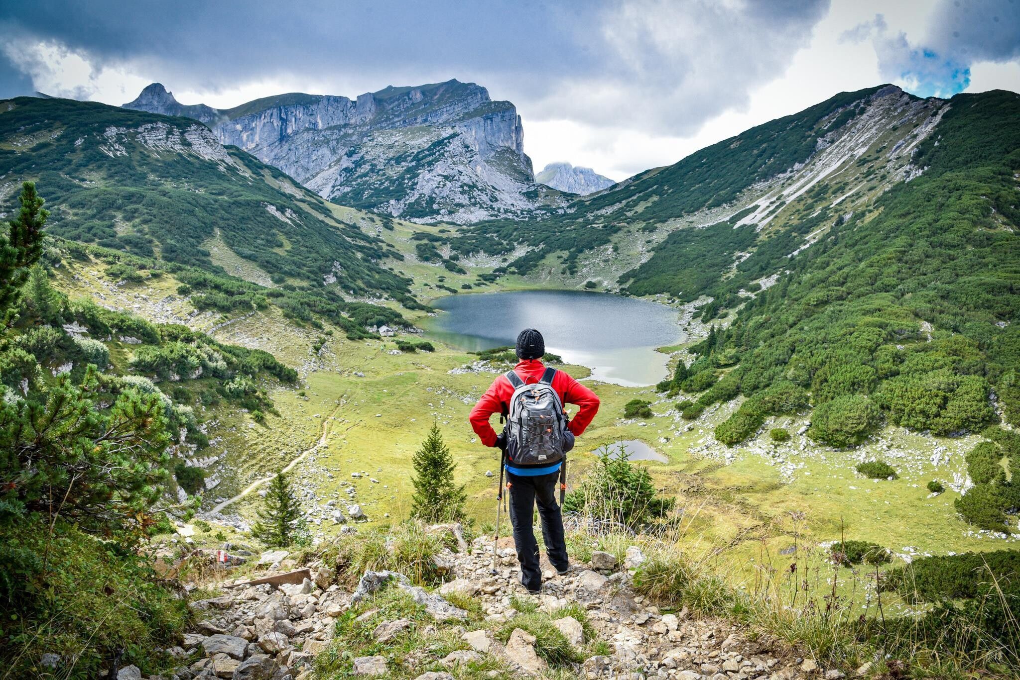
Demanding hike with many elevation meters to the natural jewel Zireiner See.
Tour information

  • Requirement: difficult
  • Length: 17.5 km
  • Duration: 8:45 h
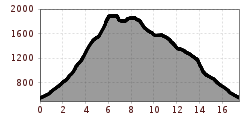
  • Elevation uphill:1,438 hm
  • Elevation downhill:1,438 hm
Highest point1,892 m

Starting point

Kramsach, parking lot former Sonnwendjoch cable car

Finishing point

Kramsach, parking lot former Sonnwendjoch cable car
  • Fitness level 5 / 6

Features

  • Circular route

Best time of year

  • January
  • February
  • March
  • April
  • May
  • June
  • July
  • August
  • September
  • October
  • November
  • December

Equipment

Note the length of the route - start early enough!

You are in high mountain terrain. Weather changes can be very drastic!

Sturdy shoes and weather-appropriate clothing

Source: Alpbachtal Tourismus

Description

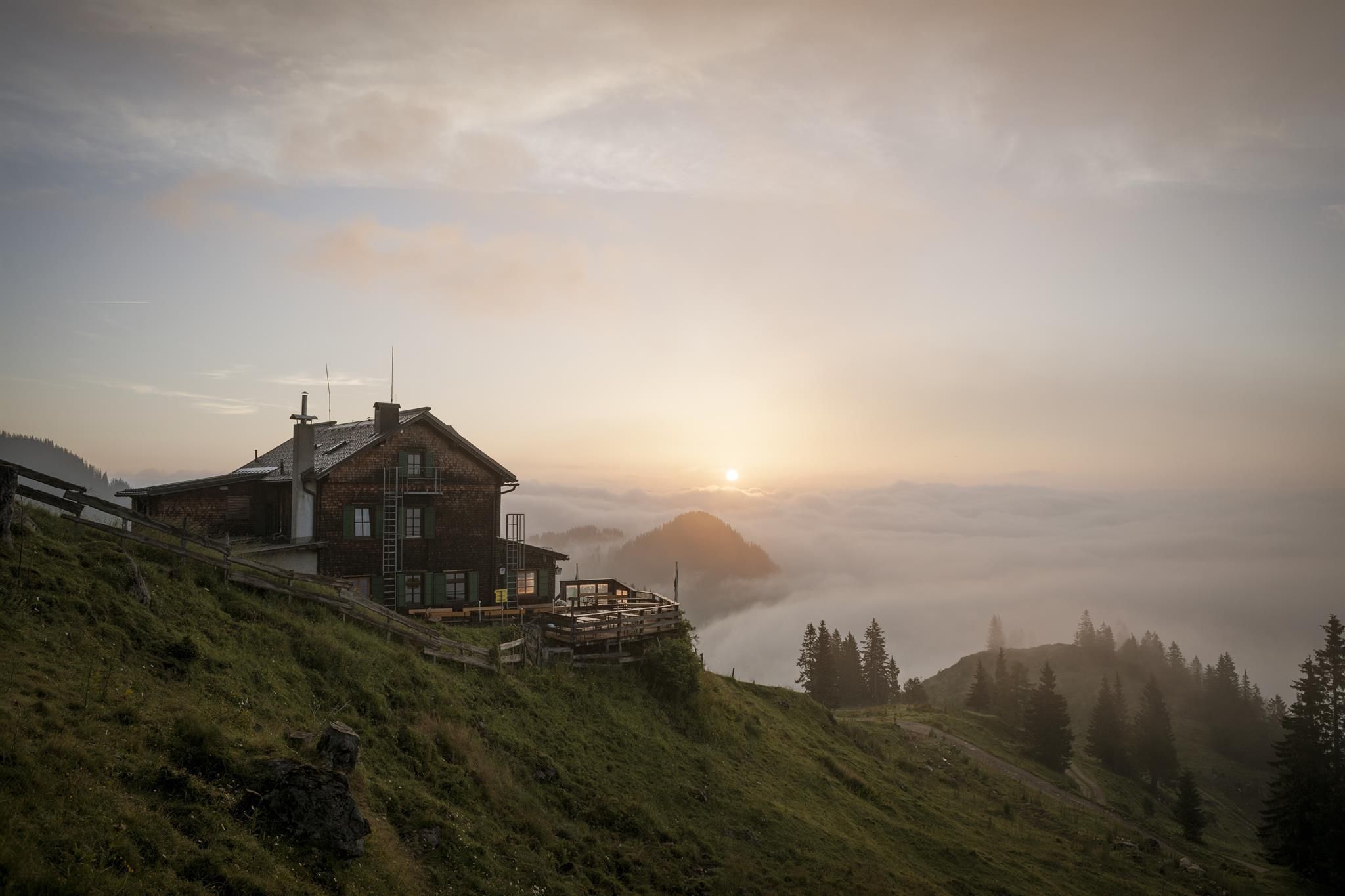
From the lift parking lot of the former Sonnwendjoch cable car in Kramsach, follow path no. 9 to the Kaltwasserbründl junction, turn right uphill on path no. 8 to the Klosteralm (former mid station) and from there continue below the lift line to the Hochalm and further to the Berghaus Sonnwendjoch (approx. 3.5 h walking time).

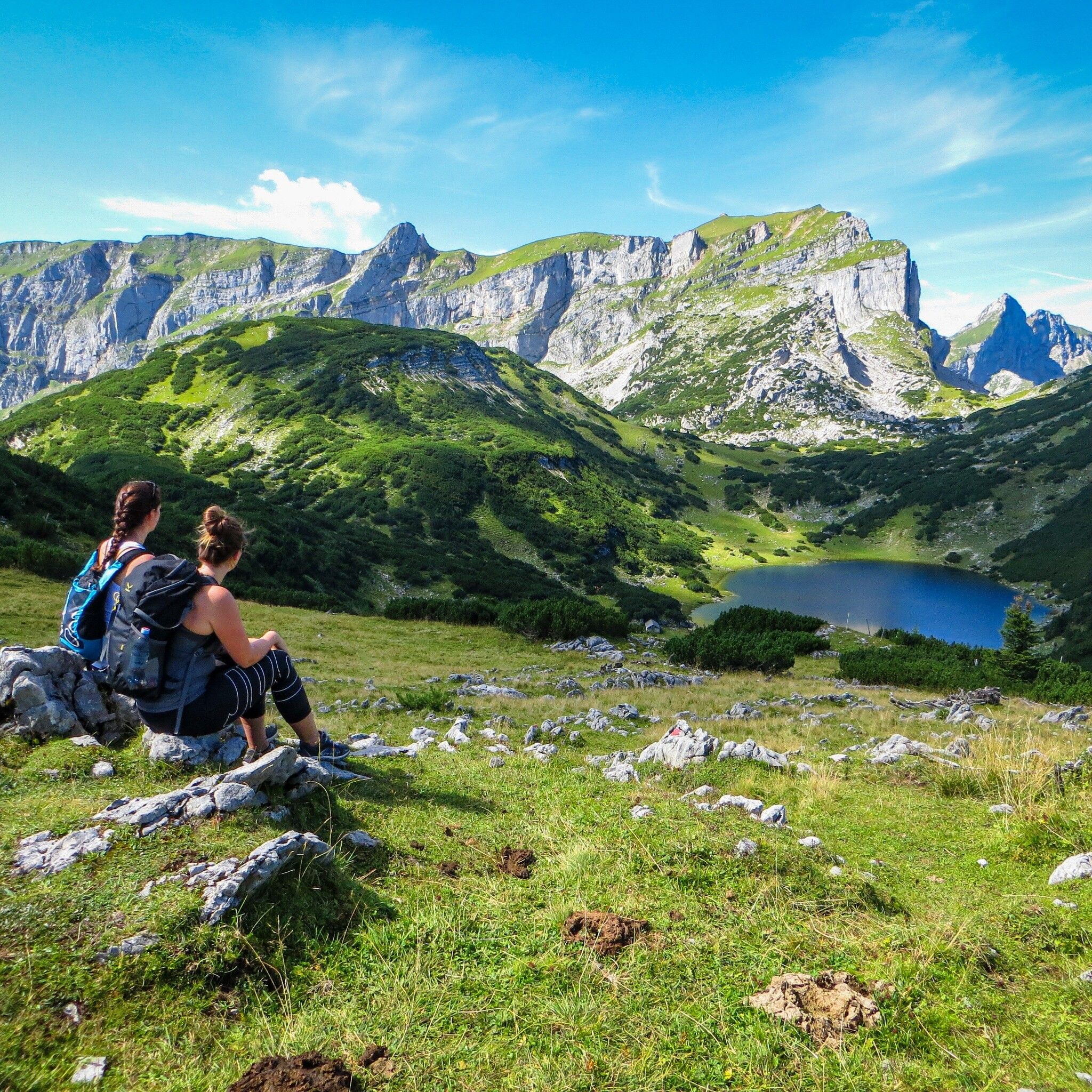
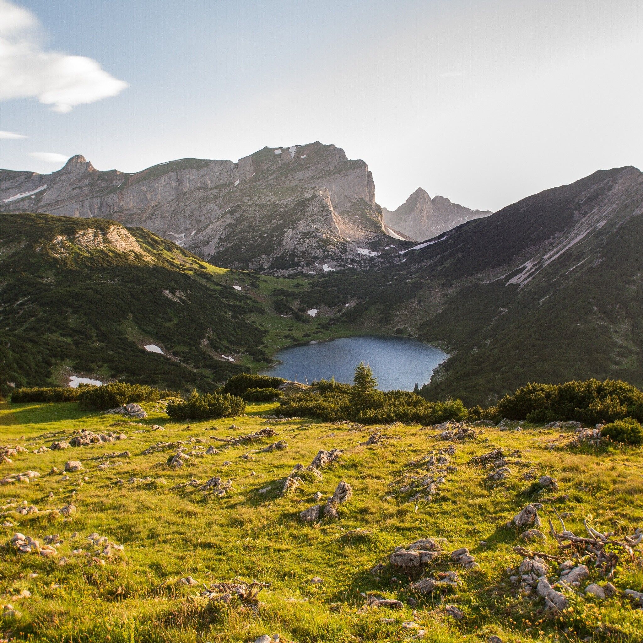
Now straight uphill to the Rosskogelsattel. From there, head north over the Rosswies to the Zireiner See (approx. 50 min from Berghaus Sonnwendjoch)

After the ascent at the western end of the lake, turn left at the fork to Zireiner Alm, downhill to the next hairpin and then immediately join the trail to Bayreuther Hütte and Bergalm (approx. 1 h 30 min from Zireiner See).

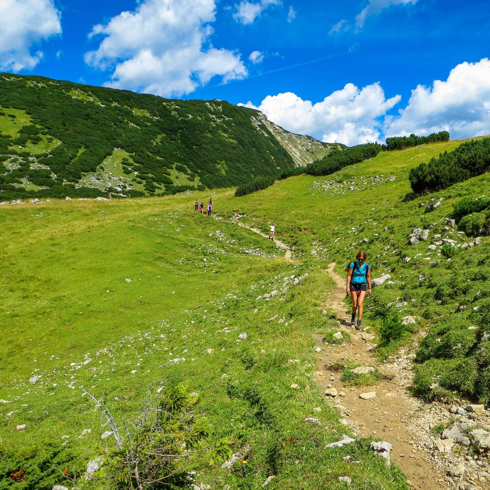
Now the path leads always downhill. Attention at the cattle grid (approx. 20 minutes after Bayreuther Hütte), follow the sign "Kramsach valley station", so turn left and follow the path back to the starting point. (approx. 2 h from Bayreuther Hütte)


Nearby huts and mountain restaurants

Getting here

  • Arrival by public transport

    www.vvt.at Bus 603 or 611

  • Parking

    A12, Kramsach motorway exit, direction Kramsach, direction former Sonnwendjoch cable car
    Valley station of the former Sonnwendjoch cable car

Weather

Today

moderate rain
14°C/9°C
85%9l5 km/h

Sun

cloudy
15°C/7°C
40%0.5l5 km/h

Mon

mainly clear
15°C/6°C
10%0l5 km/h
Go to weather forecast

More tours in the surrounding area

  • Day 3: 4 days - 4 summits tour

    Difficulty:medium
    Length:19.3 kmDuration:8:00 hElevation uphill:1,371 m
  • 4 days - 4 summits tour

    Difficulty:medium
    Length:54.4 kmDuration:4 daysElevation uphill:3,408 m
  • Kaiser Gorge - loop trail

    Difficulty:easy
    Length:4.2 kmDuration:1:00 hElevation uphill:198 m
  • Voldöpper Spitze Loop Hike

    Difficulty:medium
    Length:12.9 kmDuration:5:00 hElevation uphill:988 m
  • Barrier-free path Lake Reintal

    Difficulty:medium
    Length:7.0 kmDuration:1:45 hElevation uphill:15 m
  • Day 1: 4 days - 4 summits tour

    Difficulty:medium
    Length:9.8 kmDuration:5:00 hElevation uphill:984 m
  • 3-peak-tour Kienberg-Plessenberg-Heuberg

    Difficulty:medium
    Length:8.6 kmDuration:4:30 hElevation uphill:779 m
  • Loop tour Juppi Zauberwald

    Difficulty:easy
    Length:2.5 kmDuration:1:00 hElevation uphill:93 m
  • Kundler Klamm

    Difficulty:easy
    Length:6.4 kmDuration:2:00 hElevation uphill:116 m
  • 3-day Family Tour Alpbachtal

    Difficulty:easy
    Length:18.3 kmDuration:3 daysElevation uphill:998 m
  • Farmkehralm 1.521 m

    Difficulty:medium
    Length:9.3 kmDuration:3:30 hElevation uphill:506 m
  • Rofan tour - stage 3

    Difficulty:difficult
    Length:11.8 kmDuration:7:30 hElevation uphill:1,150 m
Newsletter

The mountain is calling? So does our newsletter!

In our monthly newsletter we reveal the best holiday tips for Tyrol.