Panorama Runde

Eben am Achensee / Karwendel
Route length: 10.0 km
Duration: 1:30 h

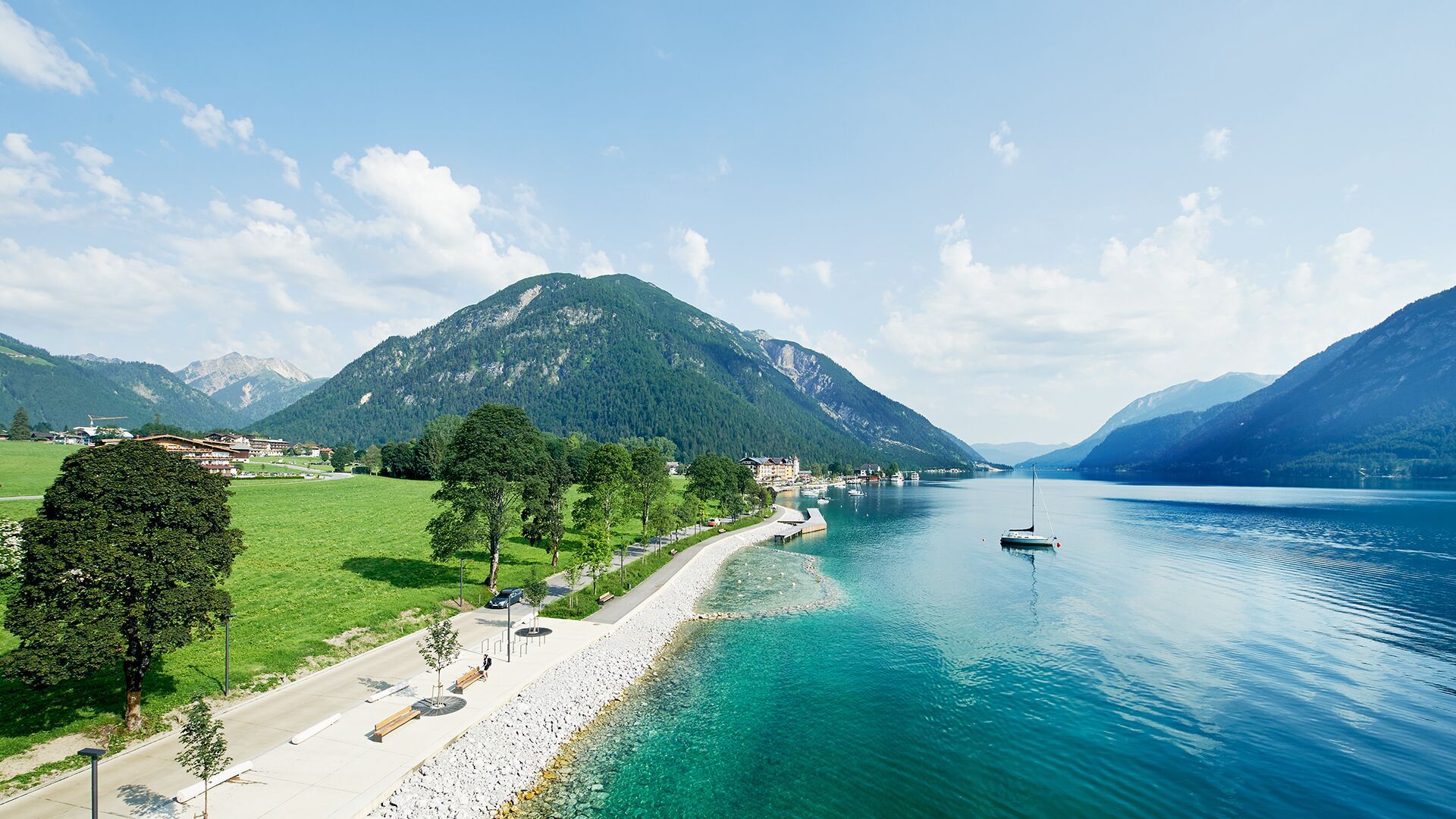
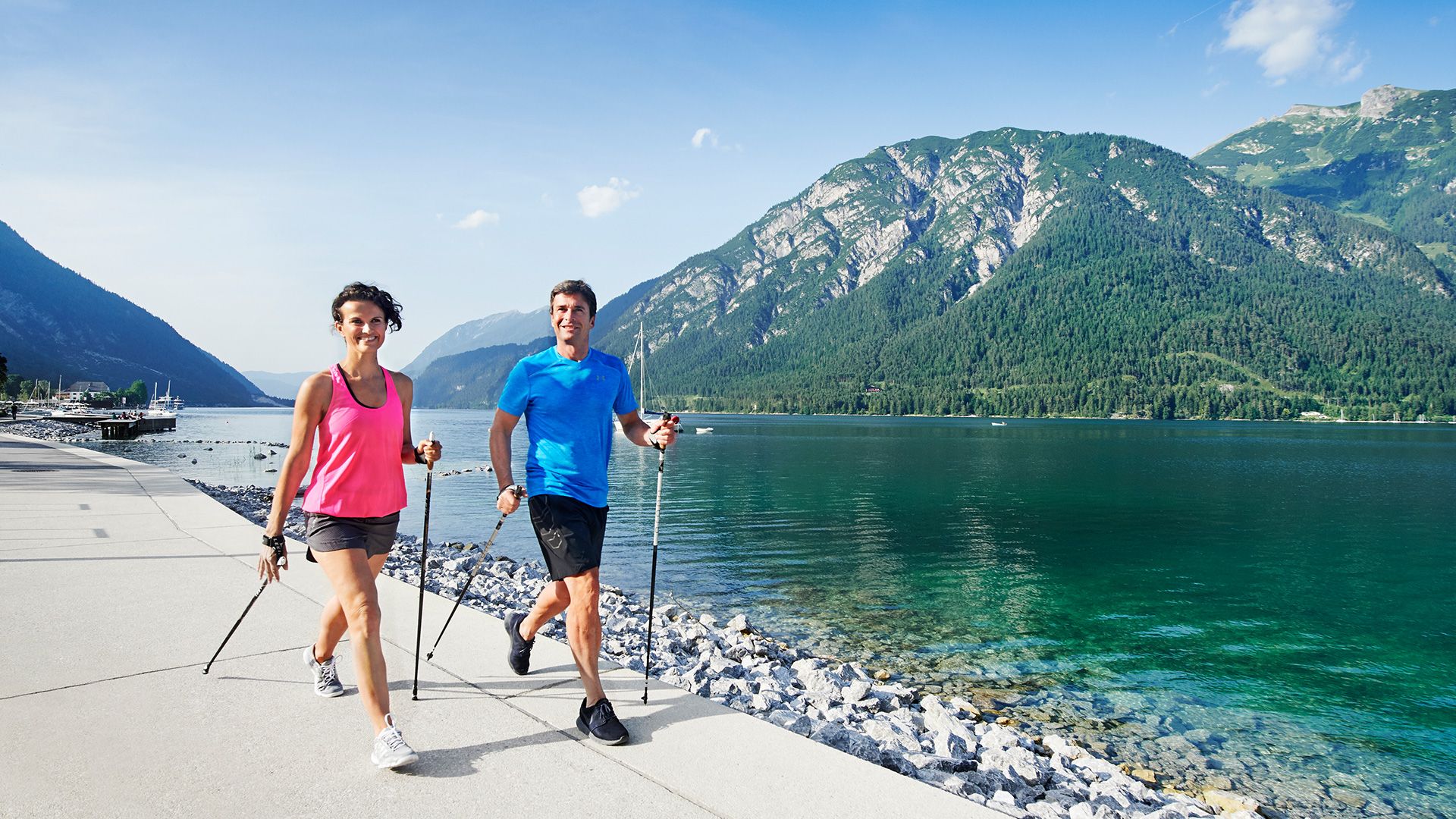
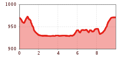
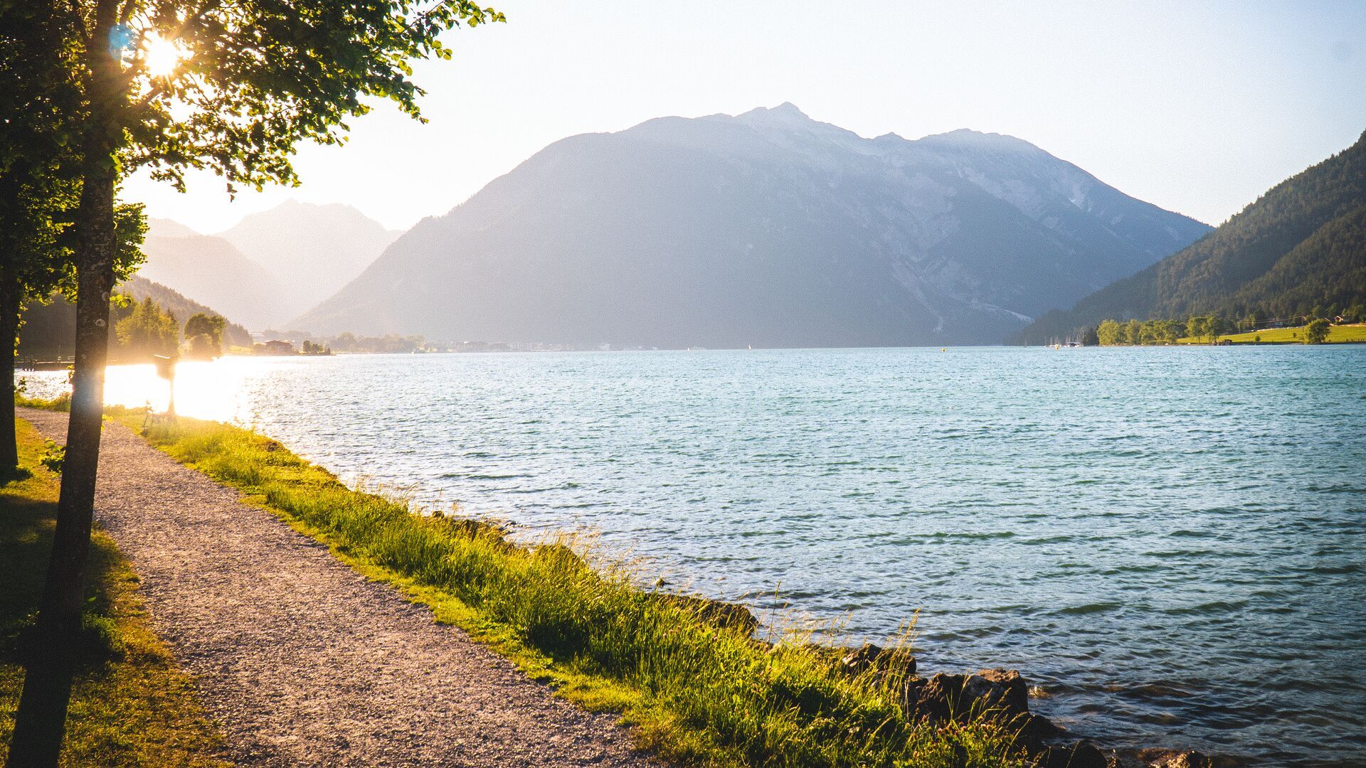
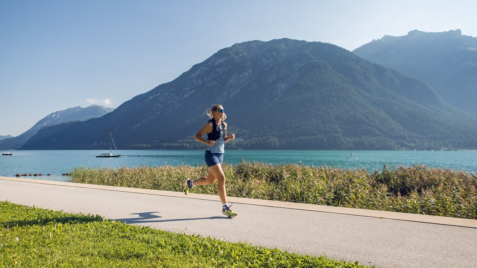
Moderately difficult run from the entrance to the Karwendel valleys to the lake, along the shore towards Maurach and back on varied paths. 10km, 65m elevation gain.
Tour information

  • Length: 10.0 km
  • Duration: 1:30 h
  • Elevation uphill:65 hm
  • Elevation downhill:65 hm
Highest point975 m

Starting point

Pertisau, toll booth at the entrance to the Karwendel valleys

Finishing point

Pertisau, toll booth at the entrance to the Karwendel valleys
  • Fitness level 2 / 6
  • Technique 2 / 6

Best time of year

  • January
  • February
  • March
  • April
  • May
  • June
  • July
  • August
  • September
  • October
  • November
  • December
Source: Achensee Tourismus

Description

From the toll booth at the entrance to the Karwendel valleys, you run past the sports field and take the lower Seebergsteig trail and the Seepromenadenweg trail to Maurach. The route leads back to the starting point via the panoramic trail above the main road.

Getting here

  • Arrival by public transport

    Take the regional bus (line 8332 or 390) to Pertisau and get off at the "Pertisau Karwendeltäler" stop.

  • Parking

    Take the B181 main road to Maurach and turn off in the direction of Pertisau. At the entrance to Pertisau, take the first road on the left uphill towards Karwendel-Bergbahn, pass it and follow the road straight ahead until you reach the large car park at the entrance to the Karwendel valleys (Nature Park Karwendel).
    Karwendeltäler car park in Pertisau (paid parking)

Weather

Today

mainly clear
11°C/0°C
10%0l10 km/h

Tue

mainly clear
15°C/0°C
10%0l10 km/h

Wed

light rain showers
11°C/4°C
70%1.6l5 km/h

More tours in the surrounding area

  • Handbike ride Pertisau - Falzthurnalm

    Difficulty:difficult
    Length:3.3 kmDuration:1:00 hElevation uphill:105 m
  • Dalfaz Alm

    Difficulty:medium
    Length:10.5 kmDuration:4:30 hElevation uphill:840 m
  • Buchau - Gramaialm

    Difficulty:easy
    Length:32.9 kmDuration:3:00 hElevation uphill:540 m
  • Gramai Alm - Gramai Hochleger - Sonnjoch - Gramai Alm

    Difficulty:difficult
    Length:10.8 kmDuration:6:30 hElevation uphill:1,200 m
  • 465 Rund um den Guffert

    Difficulty:medium
    Length:41.0 kmDuration:6:00 hElevation uphill:990 m
  • 435 Feilkopf

    Difficulty:medium
    Length:8.3 kmDuration:2:00 hElevation uphill:580 m
  • 13 Zillertal Cycle Path

    Difficulty:easy
    Length:36.4 kmDuration:2:00 hElevation uphill:120 m
  • Rofan tour

    Difficulty:medium
    Length:30.5 kmDuration:4 daysElevation uphill:1,450 m
  • Rofan tour- stage 2 - scenic tour

    Difficulty:medium
    Length:9.3 kmDuration:3:30 hElevation uphill:370 m
  • Rofan tour - stage 1

    Difficulty:medium
    Length:5.0 kmDuration:2:00 hElevation uphill:840 m
  • Rofan tour - stage 4

    Difficulty:medium
    Length:4.1 kmDuration:1:45 h
  • Rofan tour - stage 2 - alternative summit route

    Difficulty:difficult
    Length:8.7 kmDuration:5:00 hElevation uphill:670 m
  • Steinberg - Panoramarunde

    Difficulty:easy
    Length:6.1 kmDuration:2:00 hElevation uphill:200 m
  • Guffert

    Difficulty:difficult
    Length:10.3 kmDuration:6:30 hElevation uphill:1,195 m
  • Bärenwald circuit

    Difficulty:easy
    Length:4.9 kmDuration:1:30 hElevation uphill:170 m
Newsletter

The mountain is calling? So does our newsletter!

In our monthly newsletter we reveal the best holiday tips for Tyrol.