Thursday: Excursion to the Tiroler Steinöl® (shale oil) distillery

Achenkirch am Achensee / Karwendel
Difficulty ratings: medium
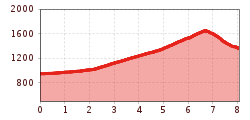
Route length: 8.0 km
Duration: 6:30 h

Tour information

  • Requirement: medium
  • Length: 8.0 km
  • Duration: 6:30 h
  • Elevation uphill:700 hm
  • Elevation downhill:0 hm
Highest point1,655 m

Starting point

Achenkirch, car park Christlum lifts

Finishing point

Achenkirch, car park Christlum lifts

Best time of year

  • January
  • February
  • March
  • April
  • May
  • June
  • July
  • August
  • September
  • October
  • November
  • December

Trail condition

Gravel and forest path

Equipment

For all tours, sturdy boots (ankle-high hiking boots) are essential. Please bring weather appropriate clothing. Telescopic hiking poles are recommended. All tours require sure-footedness and an adequate fitness level.
Source: TVB Achensee

Description

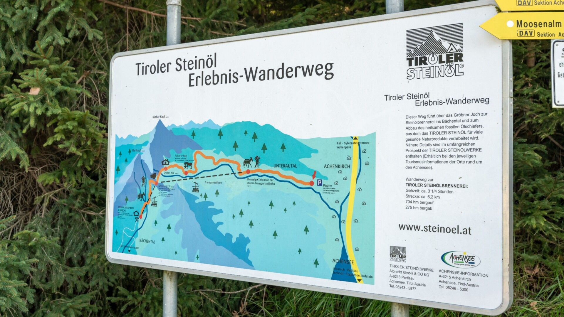
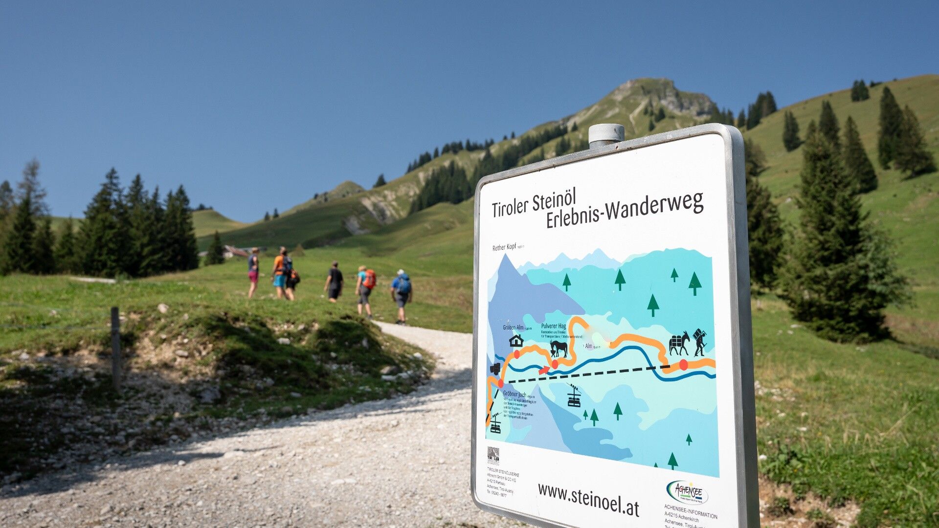
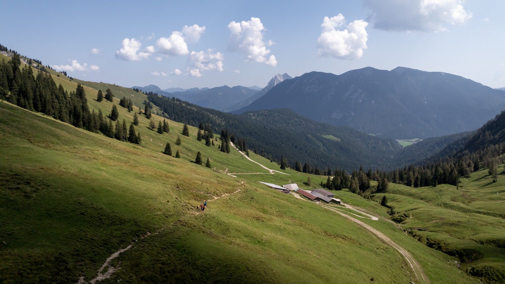
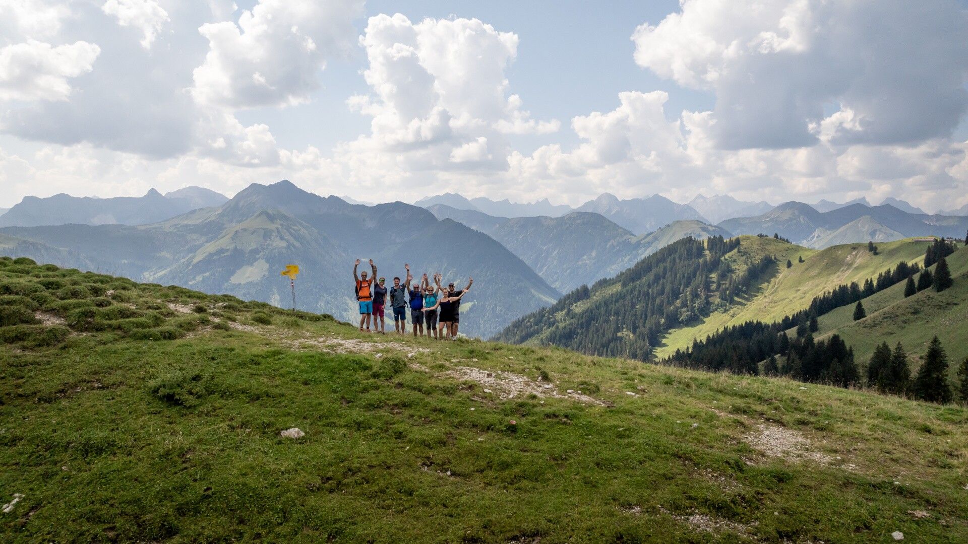
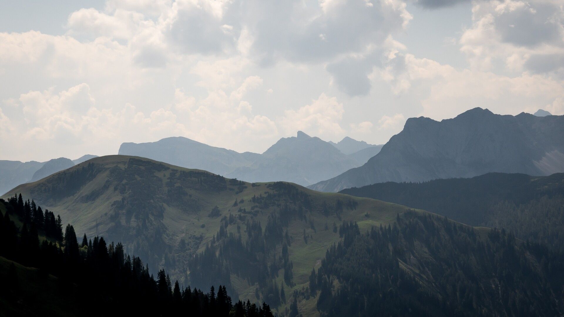
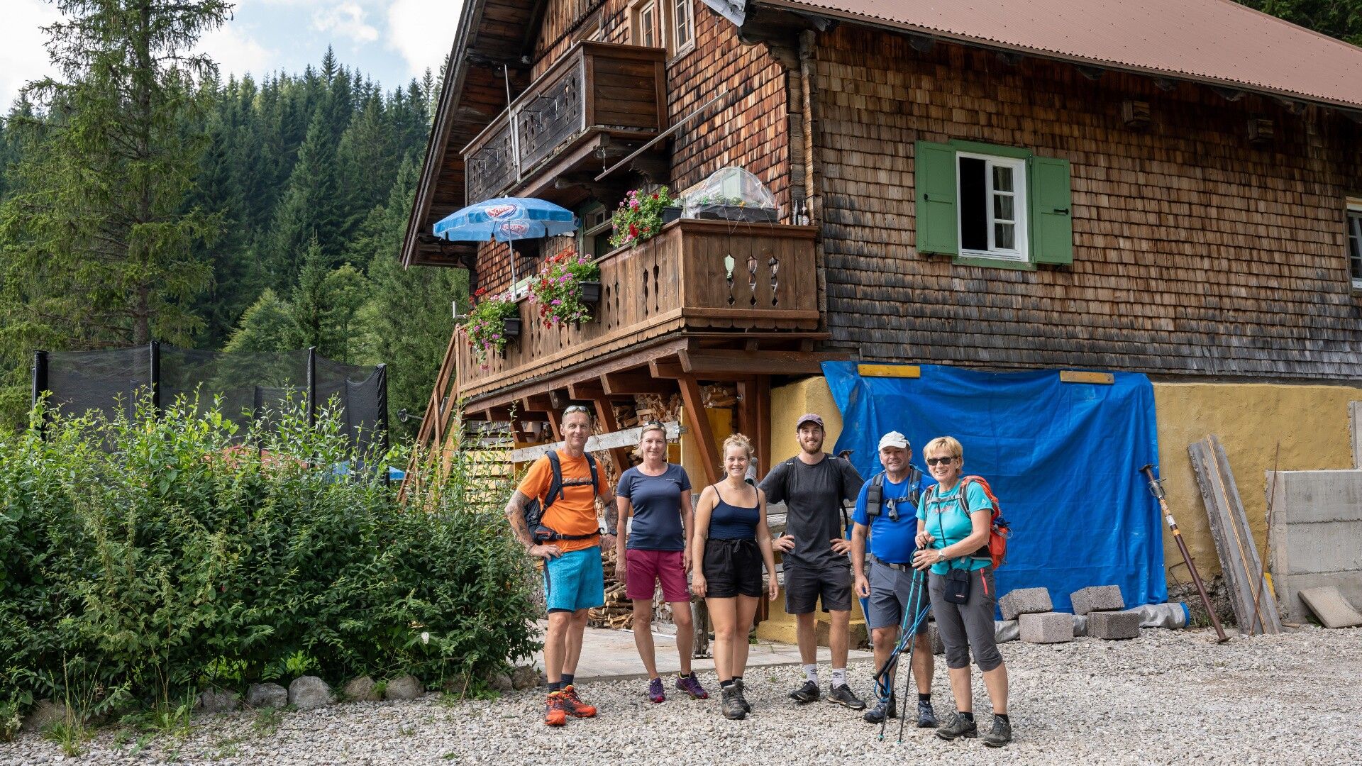
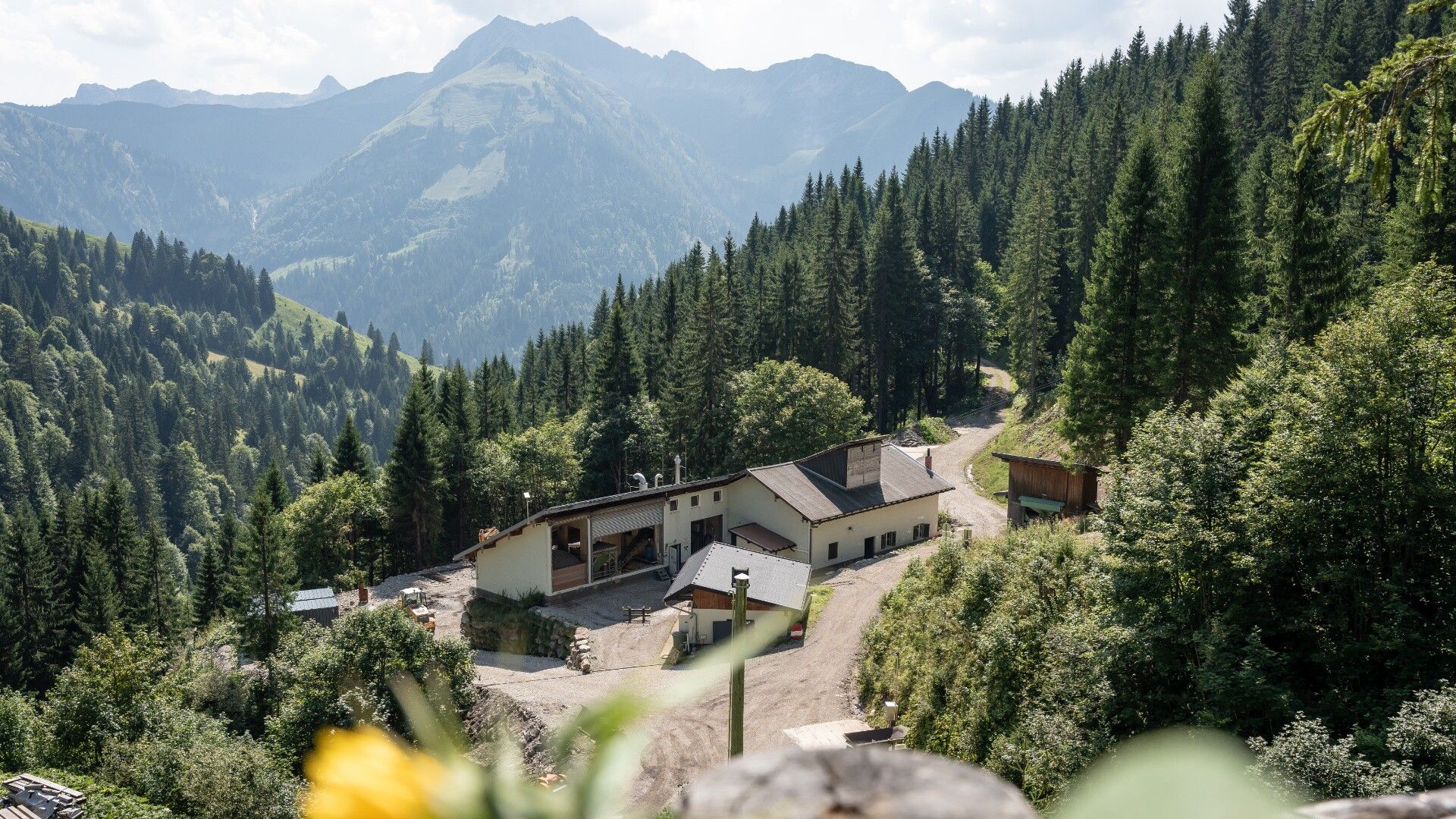
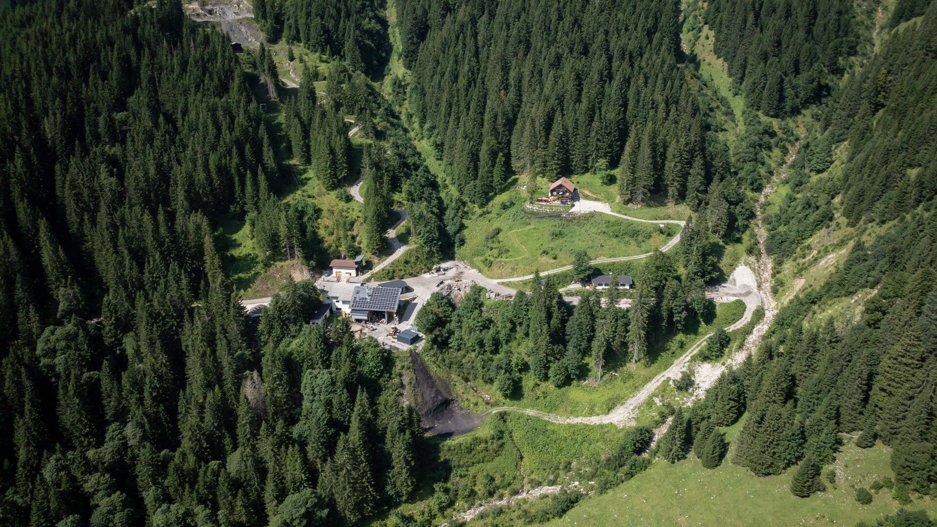
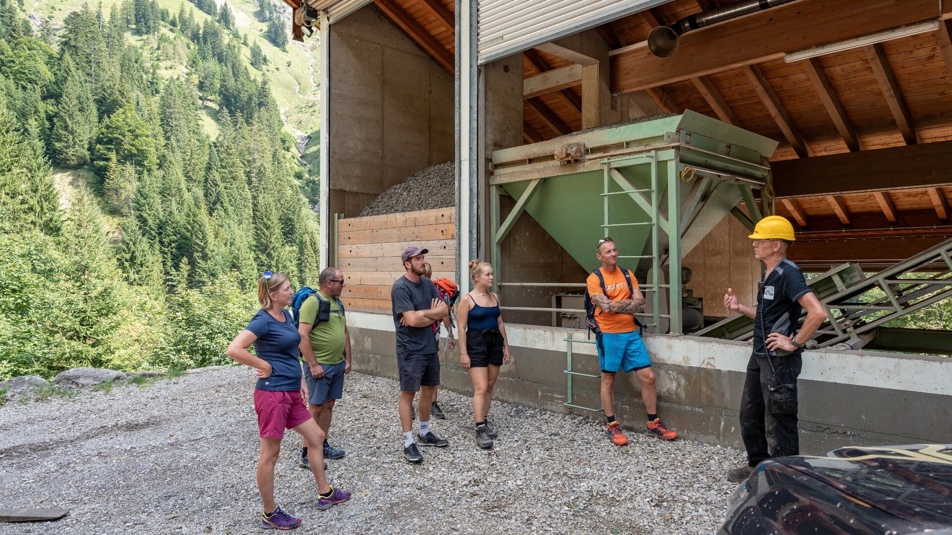
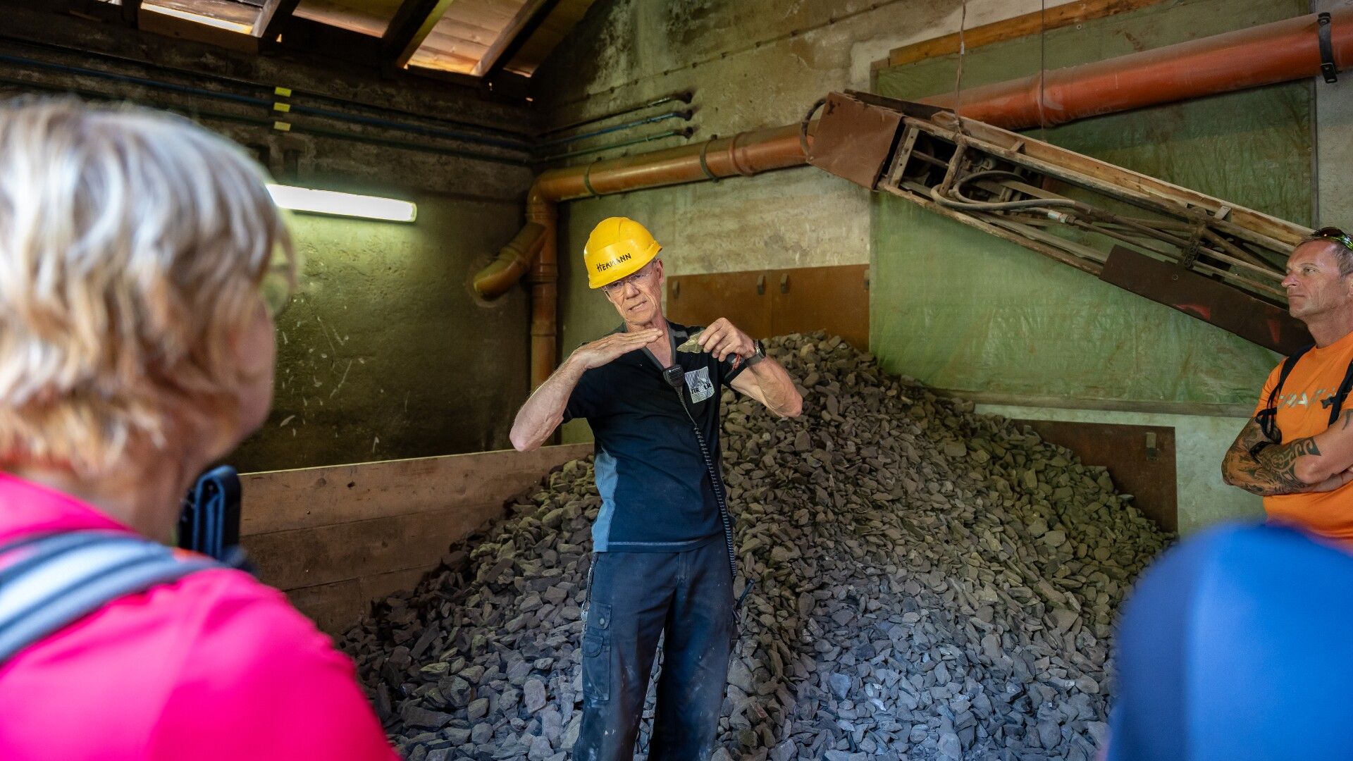
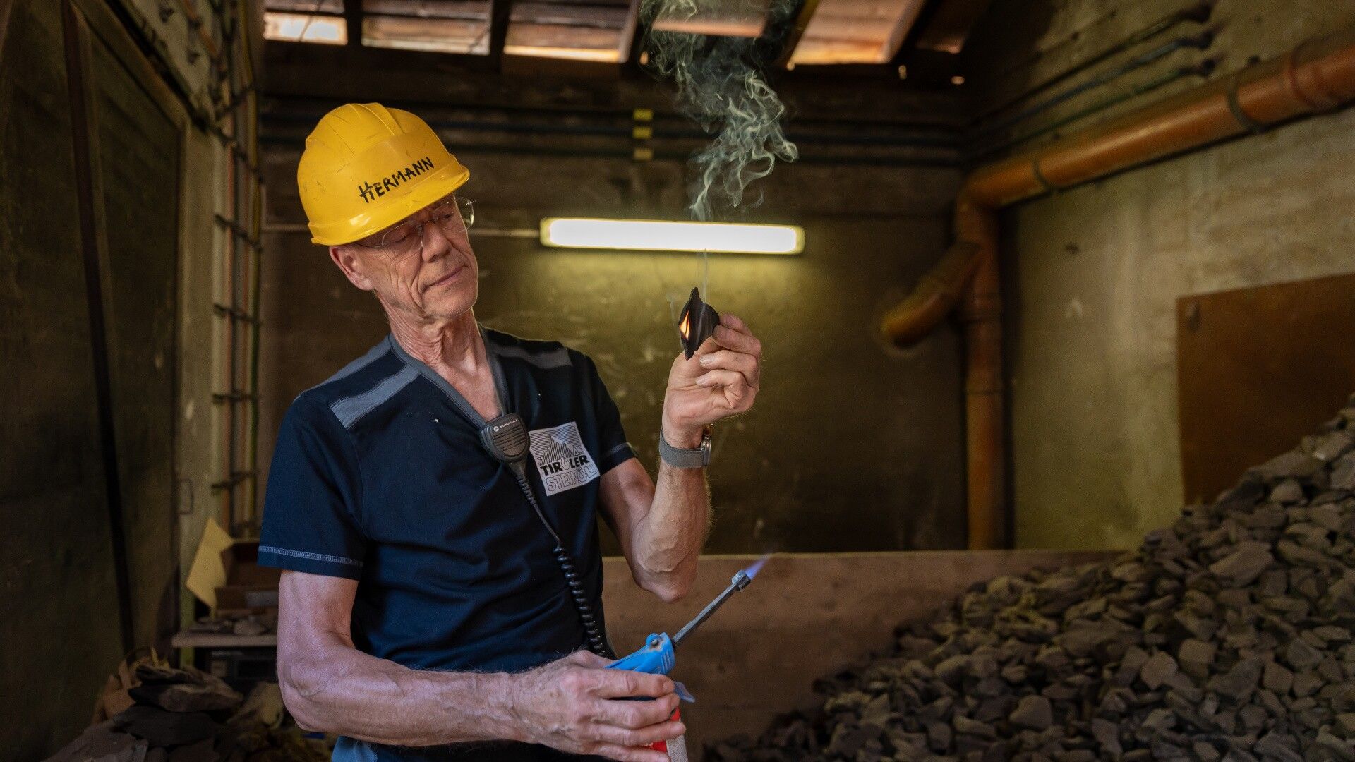
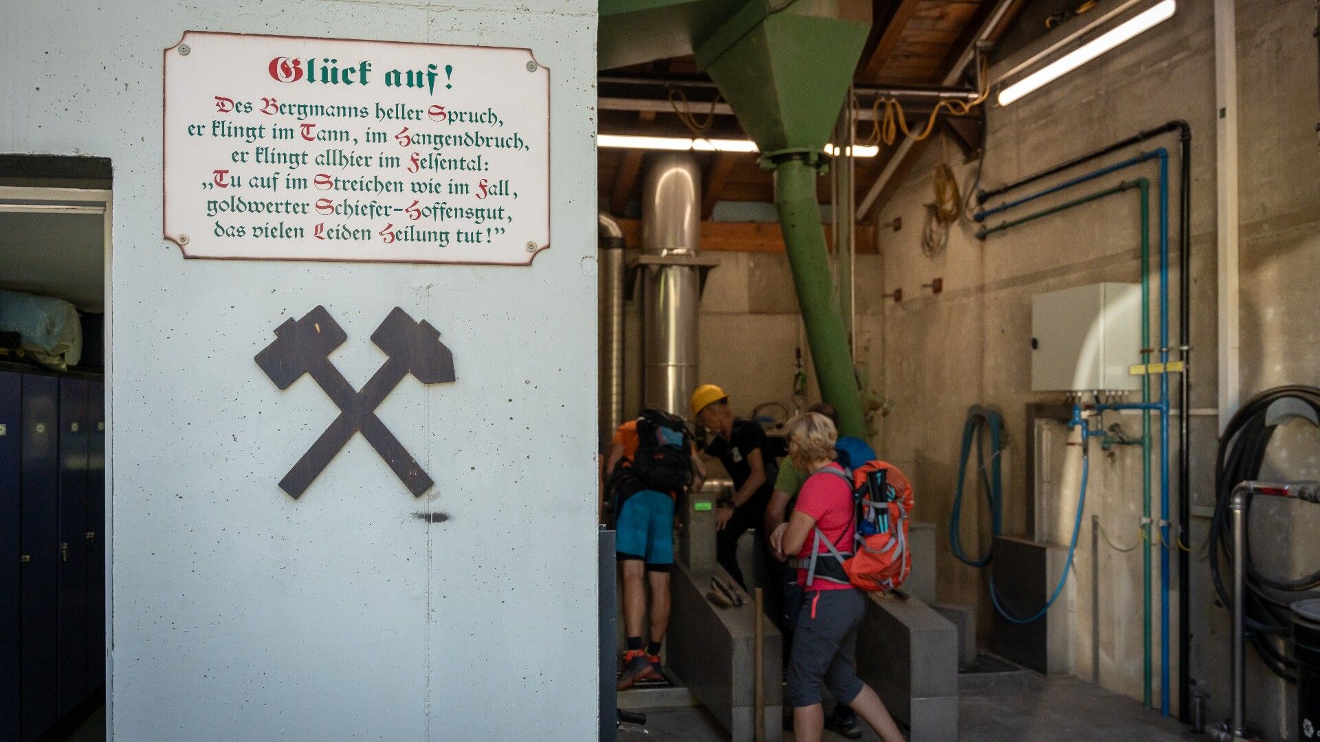
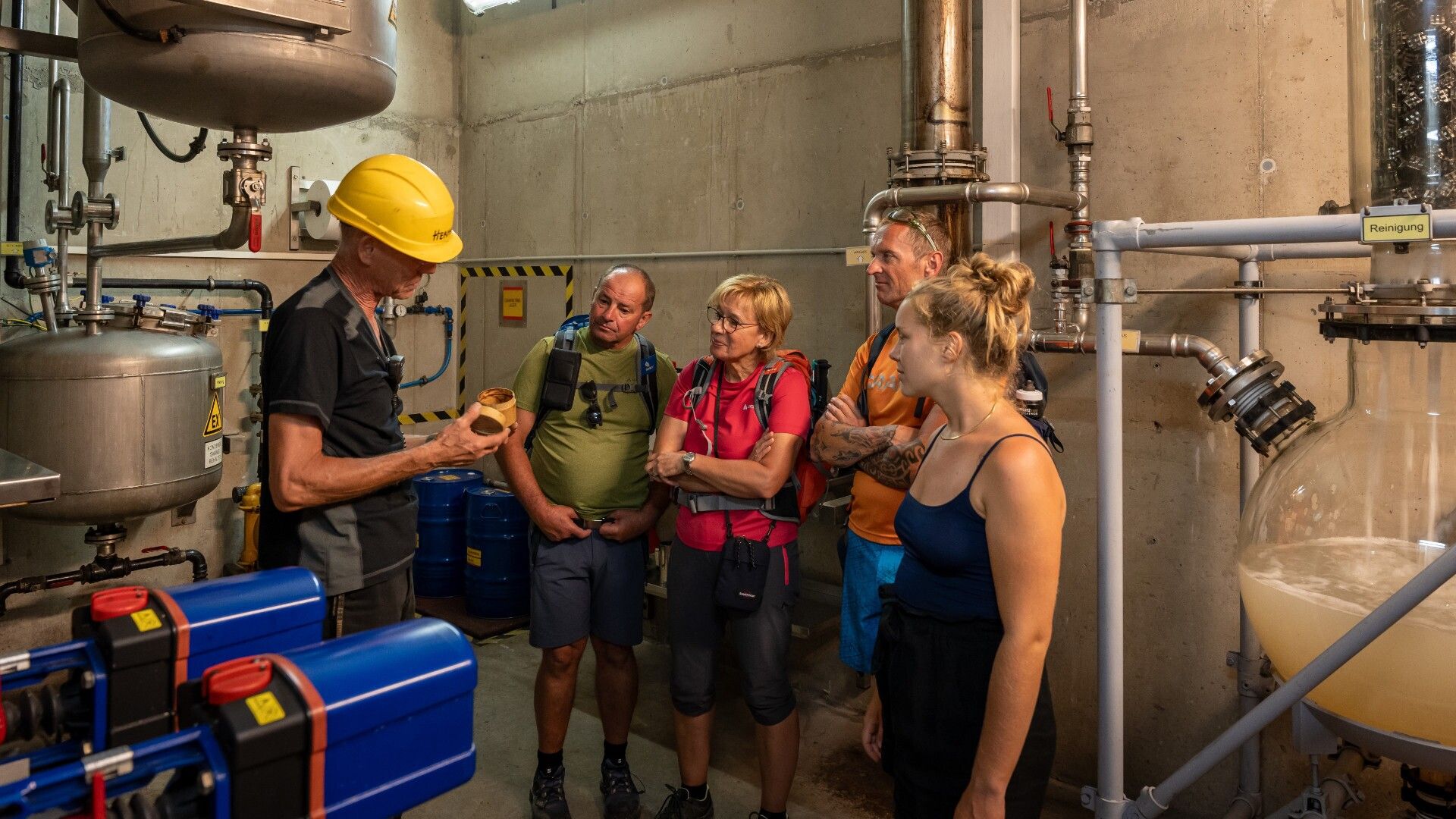
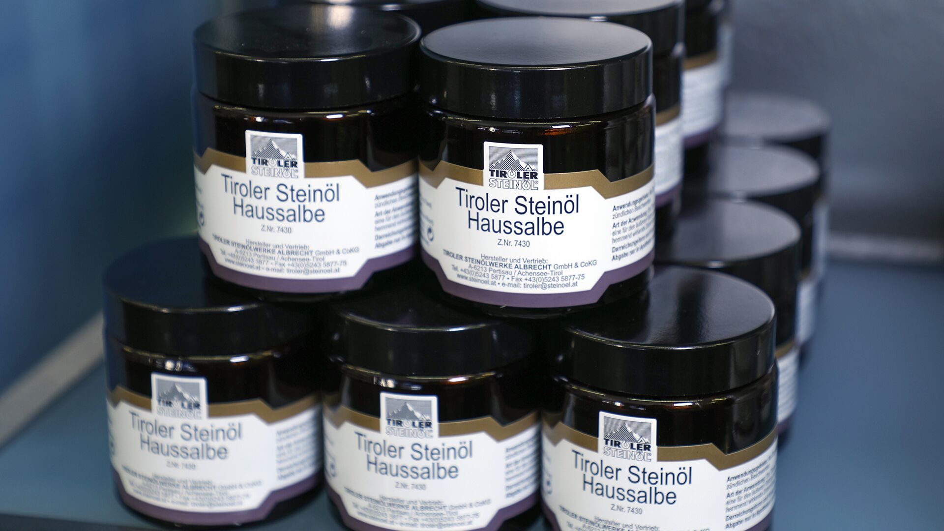
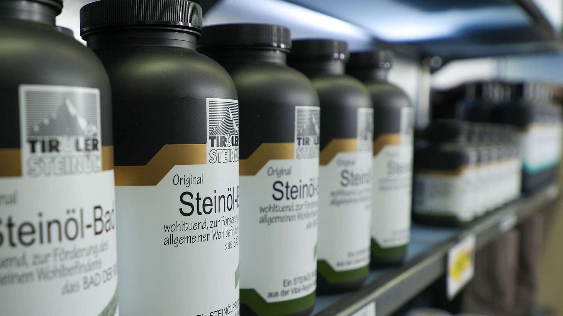
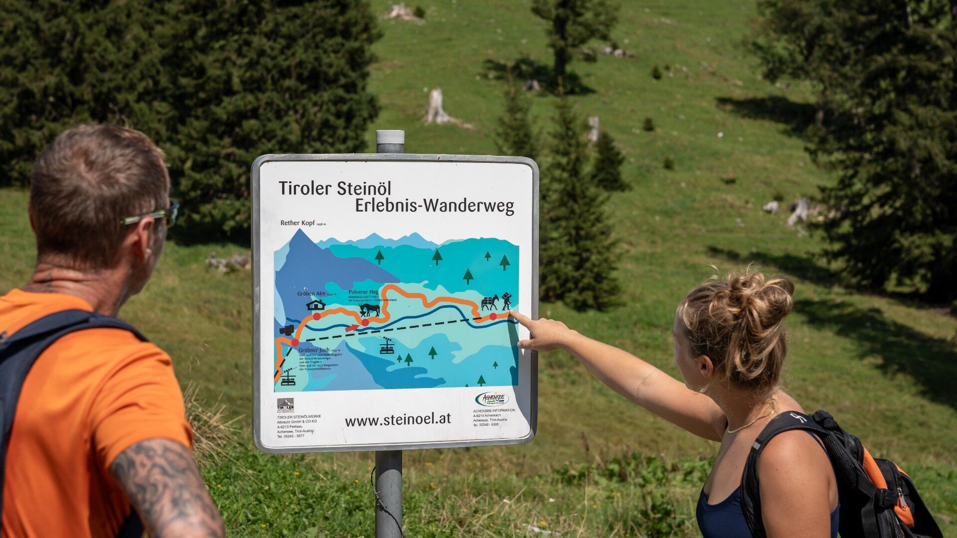
Exclusive hike to the shale oil distillery in the Bächental valley. From the car park at the Christlum lifts, we hike through the Unterautal valley and up to the Gröbner Hals (1,650 metres) where we enjoy the splendid view of the Karwendel nature park. We descend to the shale oil distillery, where we can have refreshments before we start our exclusive tour through the distillery. After the tour, a bus will pick us up and we will travel back to our starting point past the Sylvenstein reservoir.
The trail difficulty is easy to moderate, however some endurance is required (700 metres elevation gain during the ascent).

View details.

Getting here

  • Arrival by public transport

    With the regional buses, exit bus stop: Achenkirch Christlumlifte
  • Parking

    Christlum parking area (paid parking lot)

Weather

Today

partly Cloudy
10°C/1°C
10%0l10 km/h

Tue

mainly clear
15°C/0°C
10%0l10 km/h

Wed

light rain showers
11°C/3°C
70%2.2l5 km/h
Go to weather forecast

More tours in the surrounding area

  • Handbike ride Pertisau - Falzthurnalm

    Difficulty:difficult
    Length:3.3 kmDuration:1:00 hElevation uphill:105 m
  • Dalfaz Alm

    Difficulty:medium
    Length:10.5 kmDuration:4:30 hElevation uphill:840 m
  • Buchau - Gramaialm

    Difficulty:easy
    Length:32.9 kmDuration:3:00 hElevation uphill:540 m
  • Gramai Alm - Gramai Hochleger - Sonnjoch - Gramai Alm

    Difficulty:difficult
    Length:10.8 kmDuration:6:30 hElevation uphill:1,200 m
  • 465 Rund um den Guffert

    Difficulty:medium
    Length:41.0 kmDuration:6:00 hElevation uphill:990 m
  • 435 Feilkopf

    Difficulty:medium
    Length:8.3 kmDuration:2:00 hElevation uphill:580 m
  • 13 Zillertal Cycle Path

    Difficulty:easy
    Length:36.4 kmDuration:2:00 hElevation uphill:120 m
  • Rofan tour

    Difficulty:medium
    Length:30.5 kmDuration:4 daysElevation uphill:1,450 m
  • Rofan tour- stage 2 - scenic tour

    Difficulty:medium
    Length:9.3 kmDuration:3:30 hElevation uphill:370 m
  • Rofan tour - stage 1

    Difficulty:medium
    Length:5.0 kmDuration:2:00 hElevation uphill:840 m
  • Rofan tour - stage 4

    Difficulty:medium
    Length:4.1 kmDuration:1:45 h
  • Rofan tour - stage 2 - alternative summit route

    Difficulty:difficult
    Length:8.7 kmDuration:5:00 hElevation uphill:670 m
  • Steinberg - Panoramarunde

    Difficulty:easy
    Length:6.1 kmDuration:2:00 hElevation uphill:200 m
  • Guffert

    Difficulty:difficult
    Length:10.3 kmDuration:6:30 hElevation uphill:1,195 m
  • Bärenwald circuit

    Difficulty:easy
    Length:4.9 kmDuration:1:30 hElevation uphill:170 m
Newsletter

The mountain is calling? So does our newsletter!

In our monthly newsletter we reveal the best holiday tips for Tyrol.