Trailrunning
The best trailrunning routes in Tirol
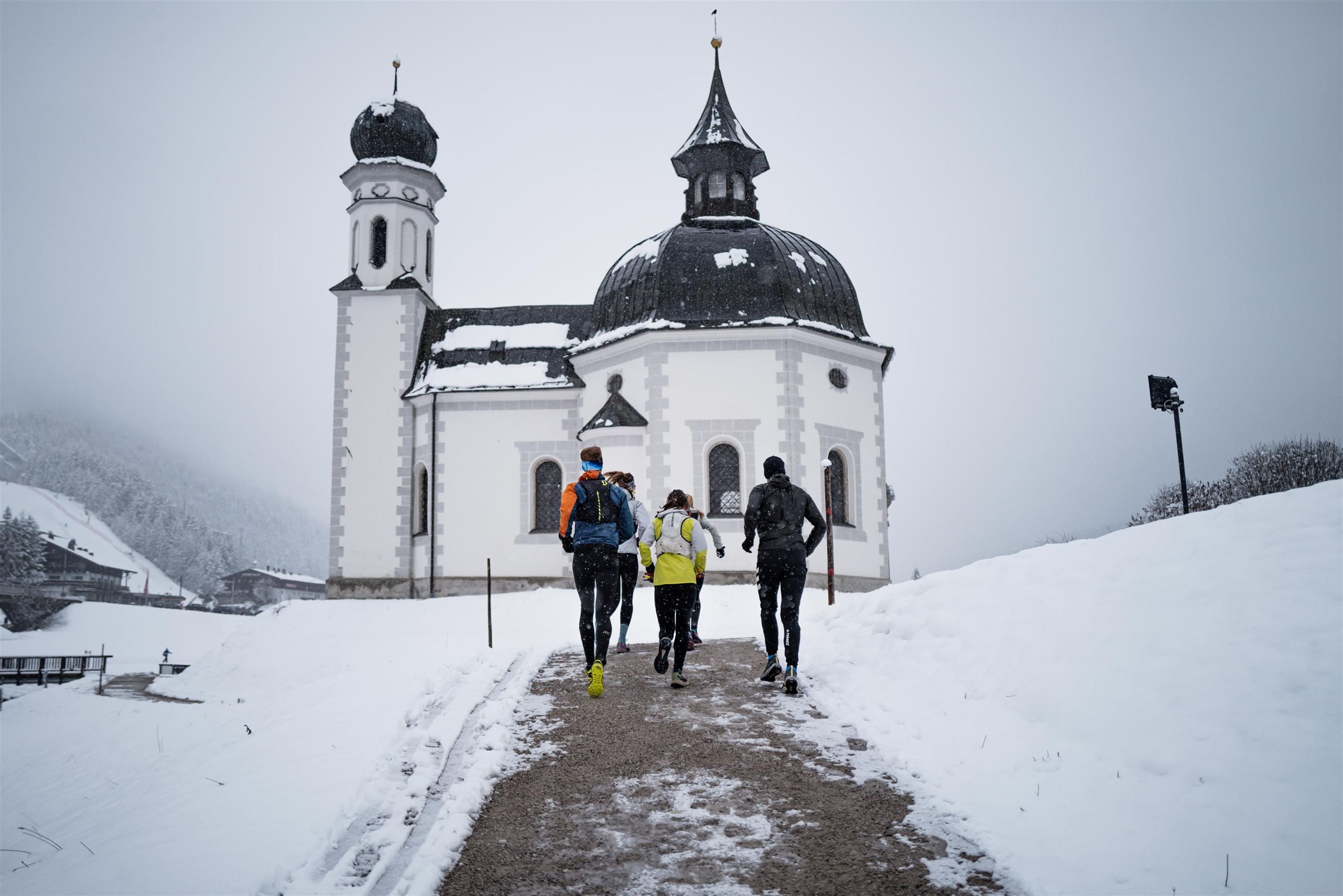
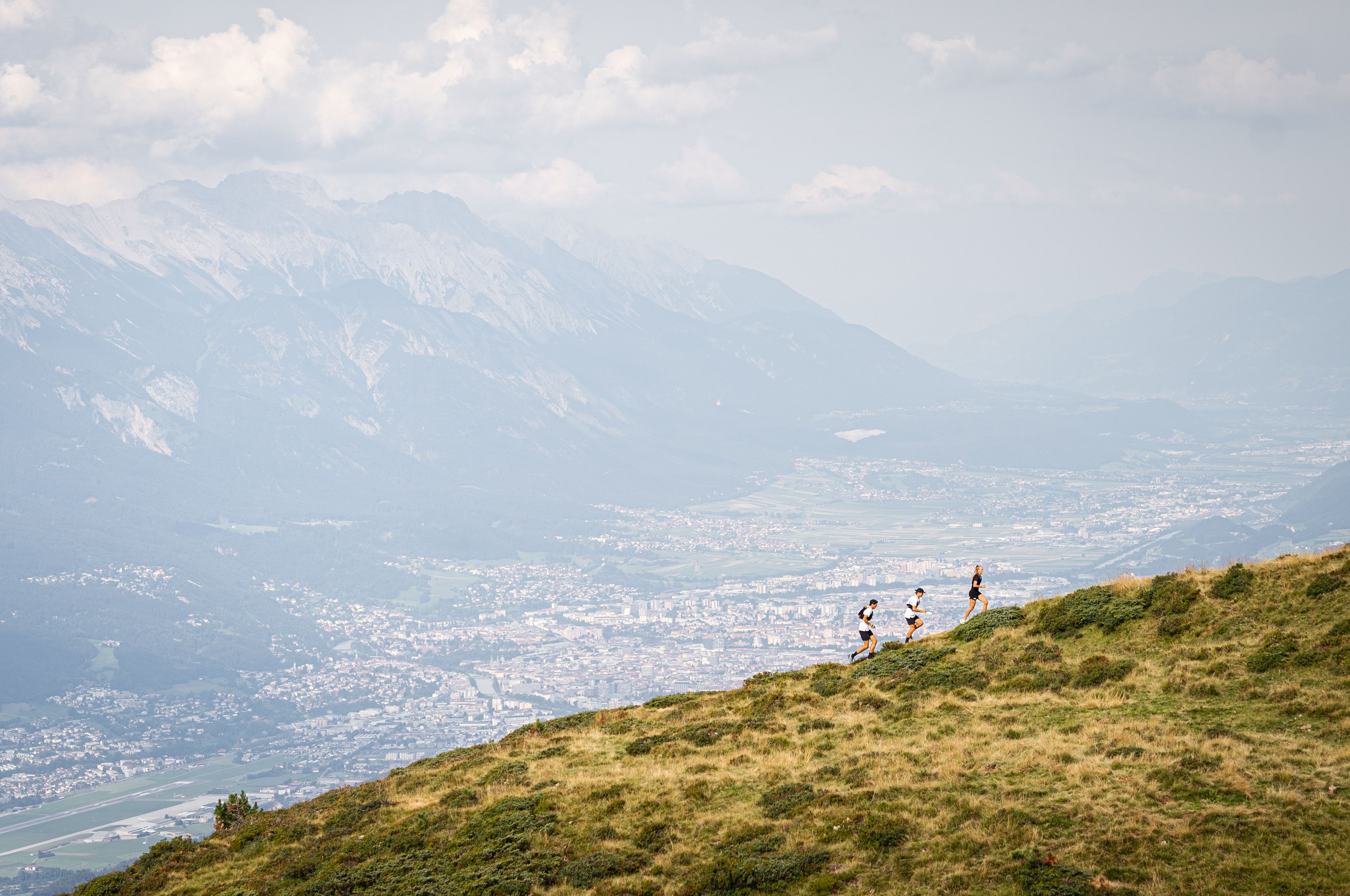
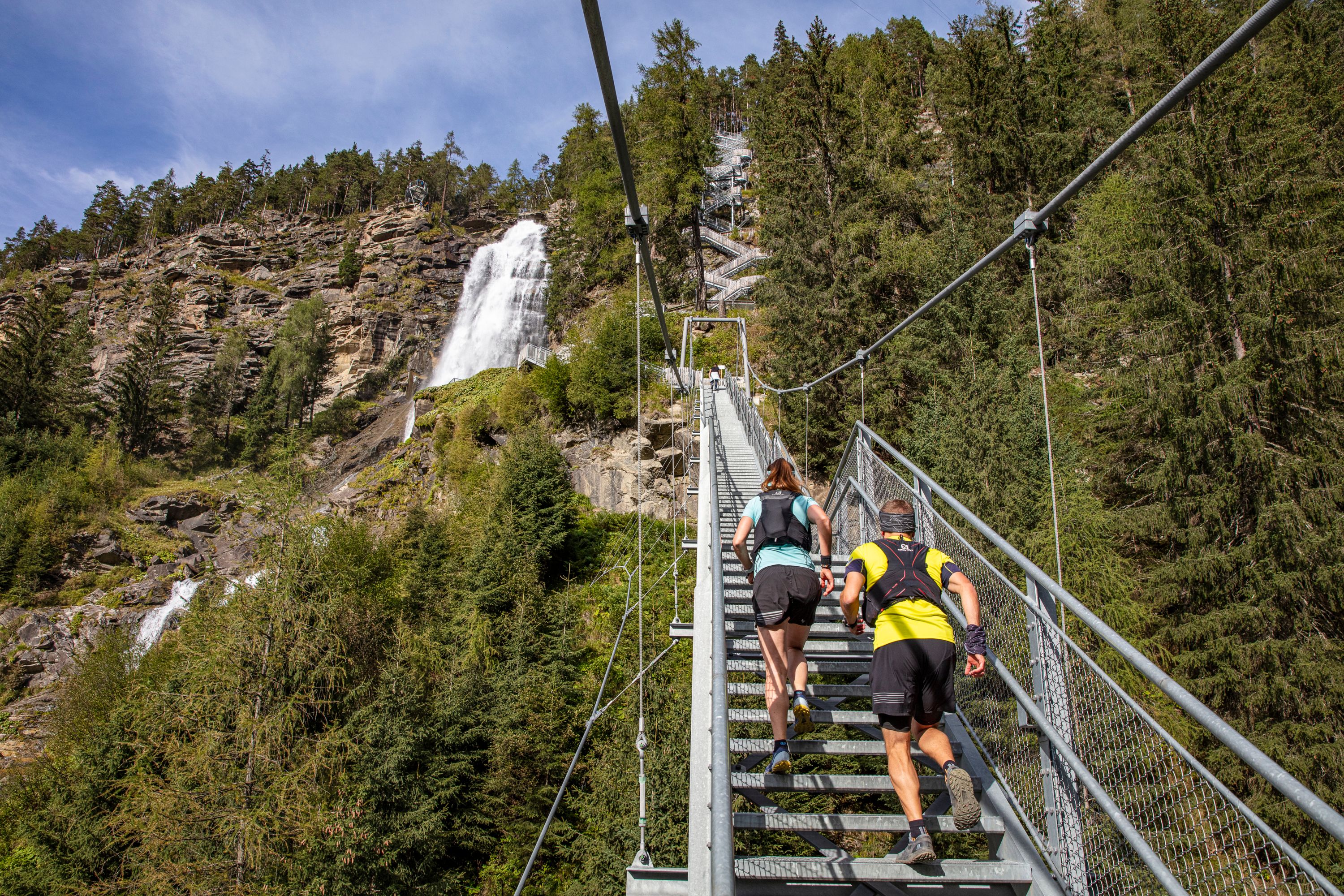
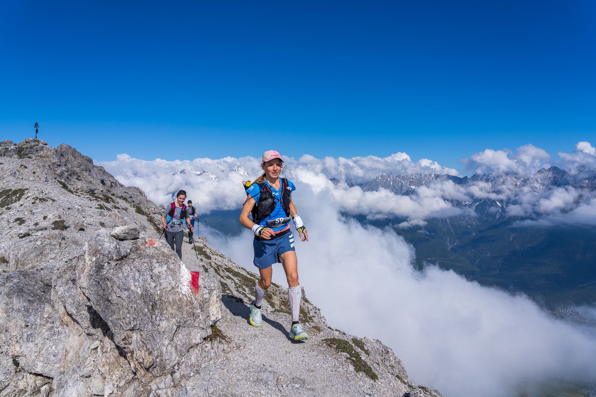
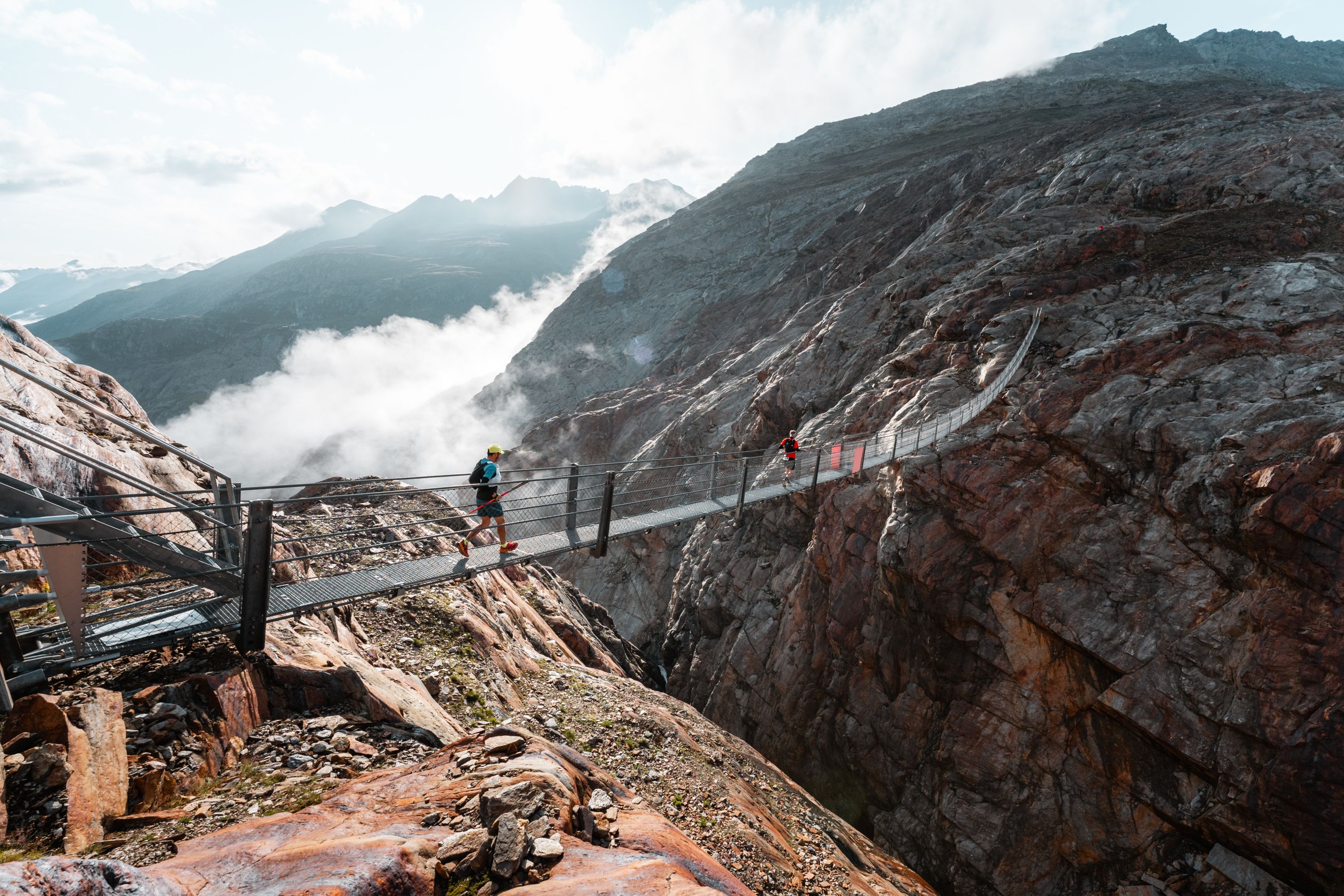
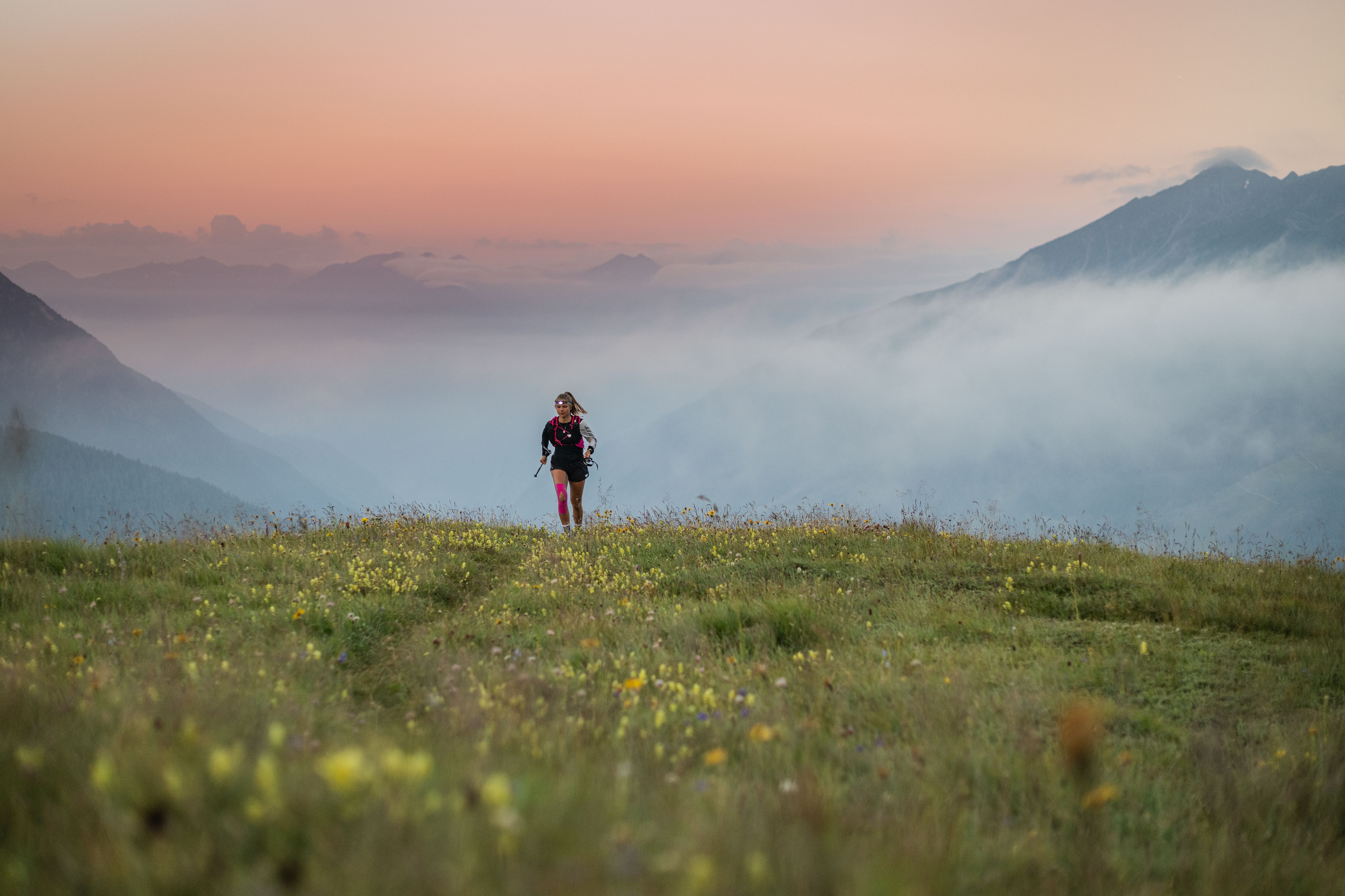
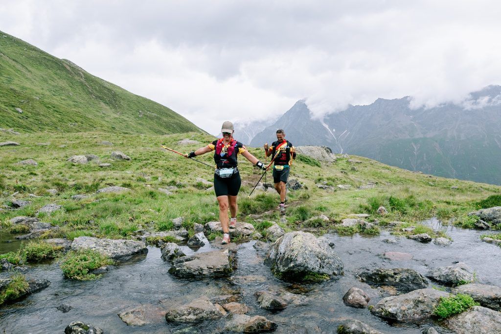
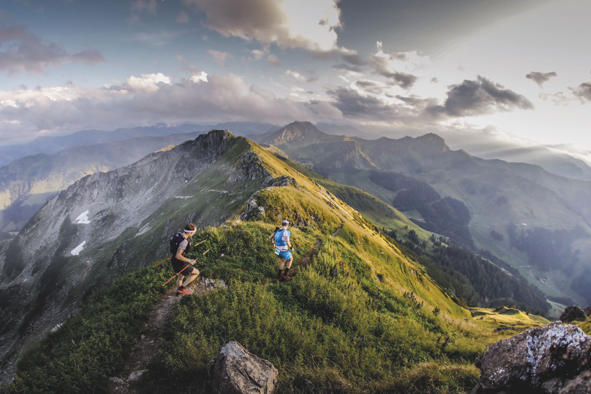
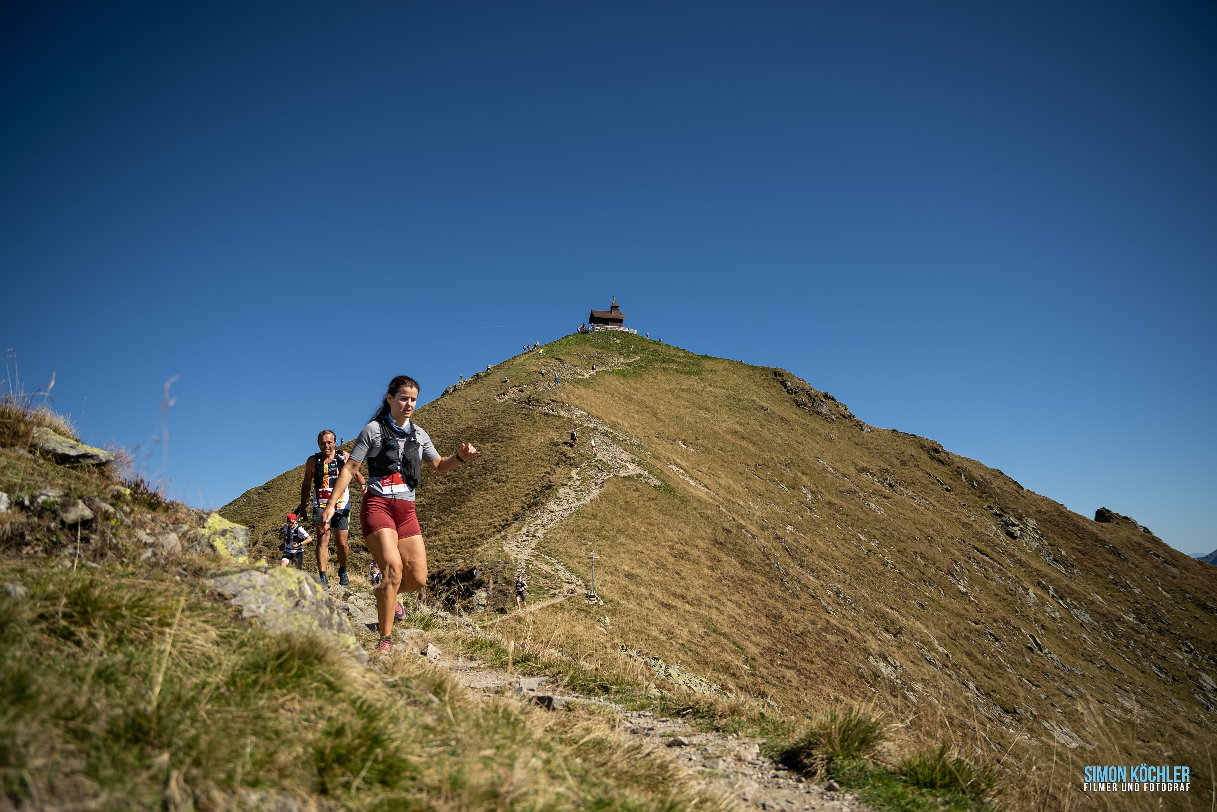
Let's be honest, trailrunning is nothing new in Tirol. When we go running, there's almost no avoiding the mountains. In recent years, however, a vibrant trailrunning community has developed here – courses, camps and events are offered throughout the region. We have put together a list of some of the best trails in Tirol for runners who prefer forests to footpaths.