
Arrival by public transport
Take the regional bus (lines 4080 or 390) to Maurach and get off at the "Maurach a. A. Atoll Achensee" stop. Atoll Achensee is located on the lakeshore in the Buchau district.
Scenic 12.1km running route through Maurach with 380 metres of elevation gain, passing the Dalfaz Waterfall and following the St. Notburga panoramic trail.
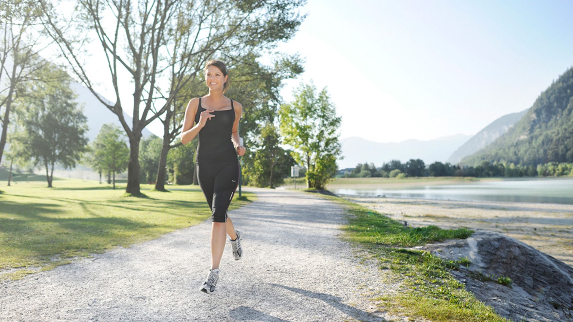
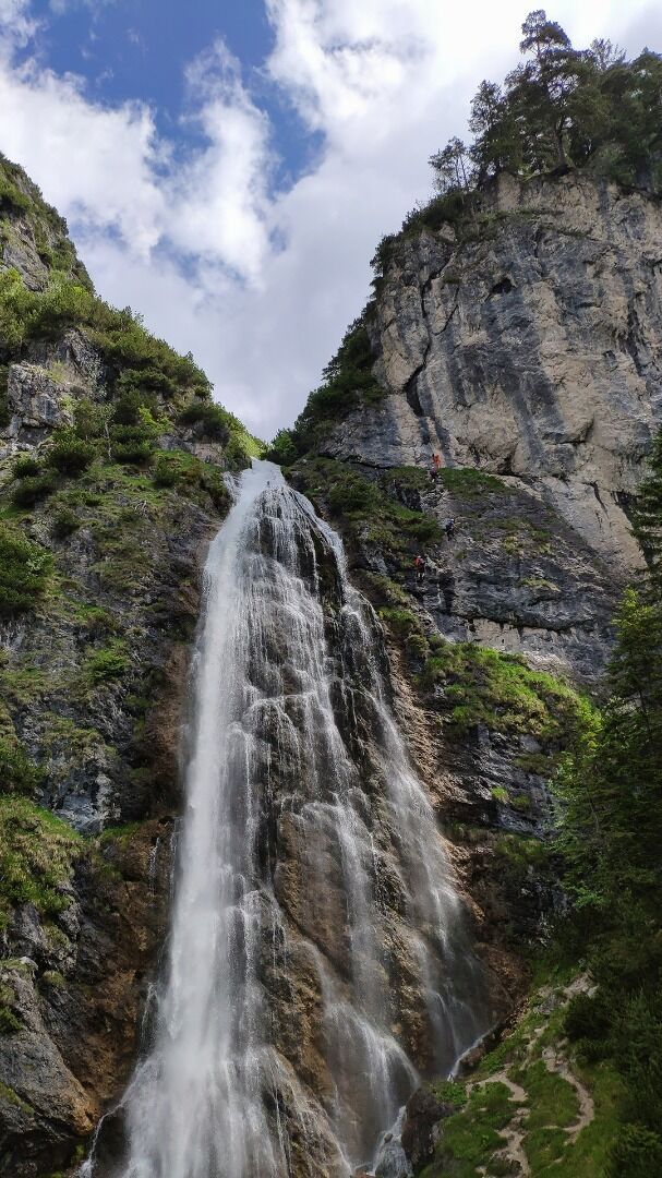
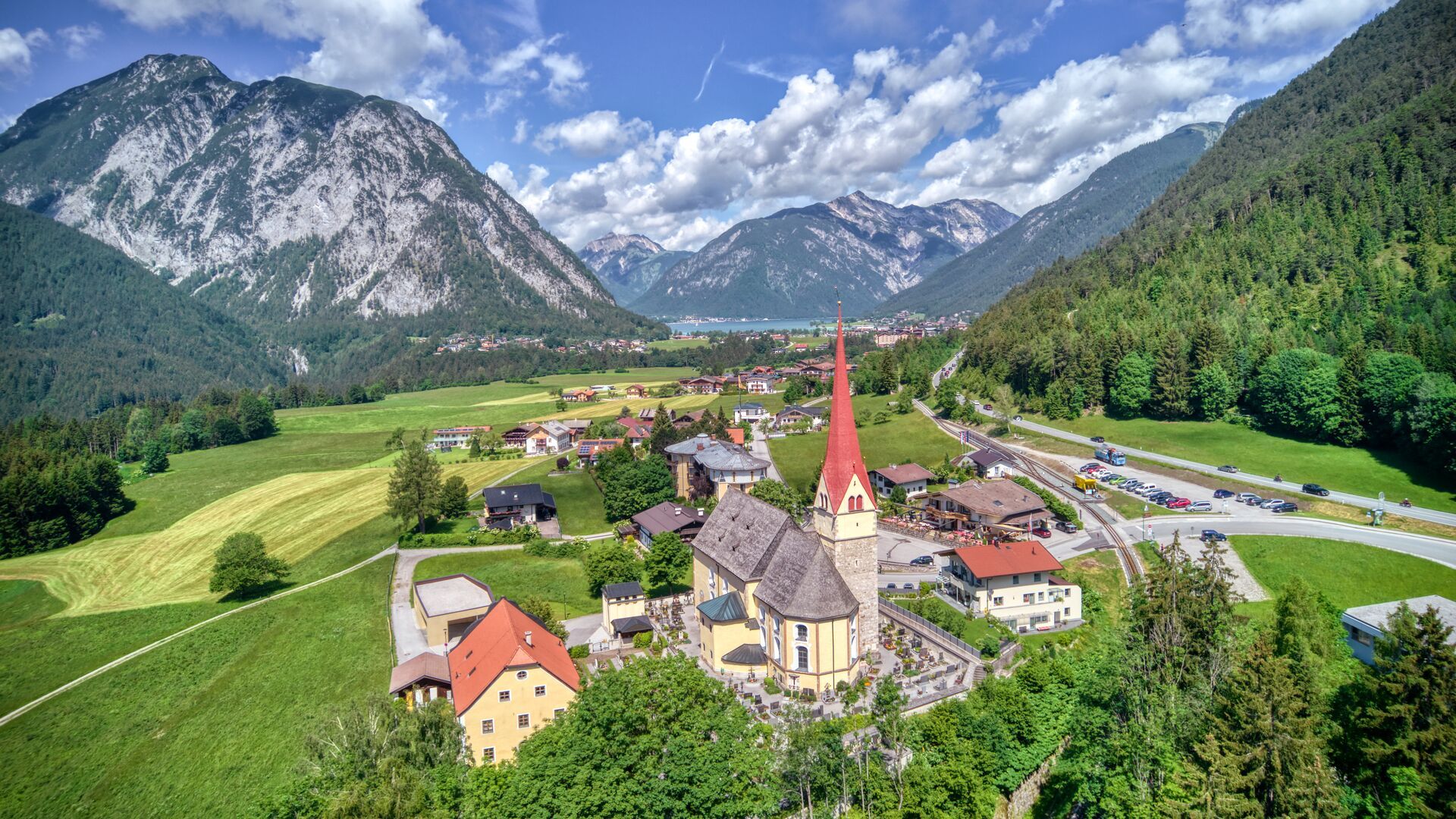
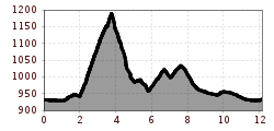
From the SEE-Bad of the Atoll Achensee, the route first leads along the lake, then past the Dalfaz waterfall via the districts of Rofangarten and Neumaurach. Continue along the St. Notburga panoramic trail until you reach the parish church in Eben. From here, the route leads back to the starting point over fields and meadows.
Take the regional bus (lines 4080 or 390) to Maurach and get off at the "Maurach a. A. Atoll Achensee" stop. Atoll Achensee is located on the lakeshore in the Buchau district.
Follow the Achensee main road (B181) to Maurach and continue straight ahead. The Atoll Achensee is prominently located on the main road in the Buchau district, right on the lakeshore, and is easy to spot from a distance.
Atoll Achensee car park (paid parking)


