Mountain hikes Ascherhütte via Furglerjoch

closed
Serfaus / Samnaungruppe
Difficulty ratings: difficult
Route length: 8.0 km
Duration: 5:00 h

Mountain tour, a few snowfields must be crossed, sometimes even in summer.

Tour information

  • Requirement: difficult
  • Length: 8.0 km
  • Duration: 5:00 h
  • Elevation uphill:861 hm
  • Elevation downhill:582 hm
Highest point2,751 m

Starting point

Komperdell top station

Finishing point

Ascherhütte
Source: Serfaus-Fiss-Ladis

Description

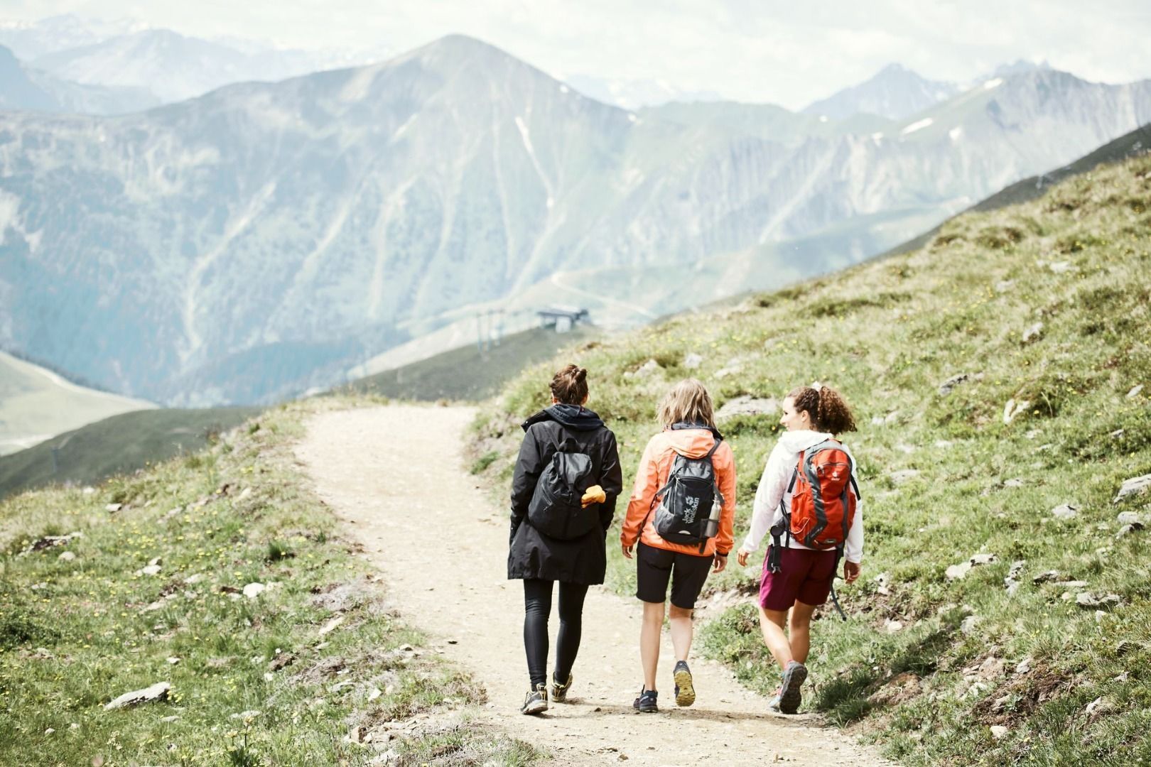
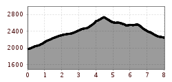
From the Komperdell top station (S201) via main hiking route no. 702 (trail 21) to the Furglersee lake (S211) and further on to the Furglerjoch (3 hours, S212). From here descend on the Koblenzerweg trail first into the Kaltenbachtal valley, then northwards into the rock wall of the Blankakopf-Medriggrat (with fixed iron cables). Go over the Medrigjoch (2,570 m) and then over serpentines via the Kübelgrubengrund to the Ascherhütte (2 hrs). Return trip: 2 hours to the Furglerjoch or 4 hours to the Komperdell.

Nearby huts and mountain restaurants

More tours in the surrounding area

  • Wild Animals Trail

    Opening hours:closed
    Difficulty:easy
  • Marmot Trail

    Opening hours:closed
    Difficulty:easy
    Length:573 mDuration:0:20 hElevation uphill:12 m
  • Fiss to the Oberen Sattelkopf

    Opening hours:closed
    Difficulty:medium
    Length:5.6 kmDuration:3:00 hElevation uphill:1,079 m
  • Forscherpfad

    Opening hours:closed
    Difficulty:easy
    Length:3.4 kmDuration:1:30 hElevation uphill:219 m
  • Six Senses trail

    Opening hours:open
    Difficulty:easy
    Length:5.7 kmDuration:4:00 h
  • Six Senses trail

    Opening hours:closed
    Difficulty:easy
    Length:6.5 kmDuration:4:00 hElevation uphill:99 m
  • Murmeltiersteig (Marmot alpine trail)

    Opening hours:closed
    Difficulty:medium
    Length:6.9 kmDuration:3:00 hElevation uphill:302 m
Newsletter

The mountain is calling? So does our newsletter!

In our monthly newsletter we reveal the best holiday tips for Tyrol.