
Opening hours:Today closed
Place:
Niederthai
:
Alpine pasture / hut / mountain restaurant
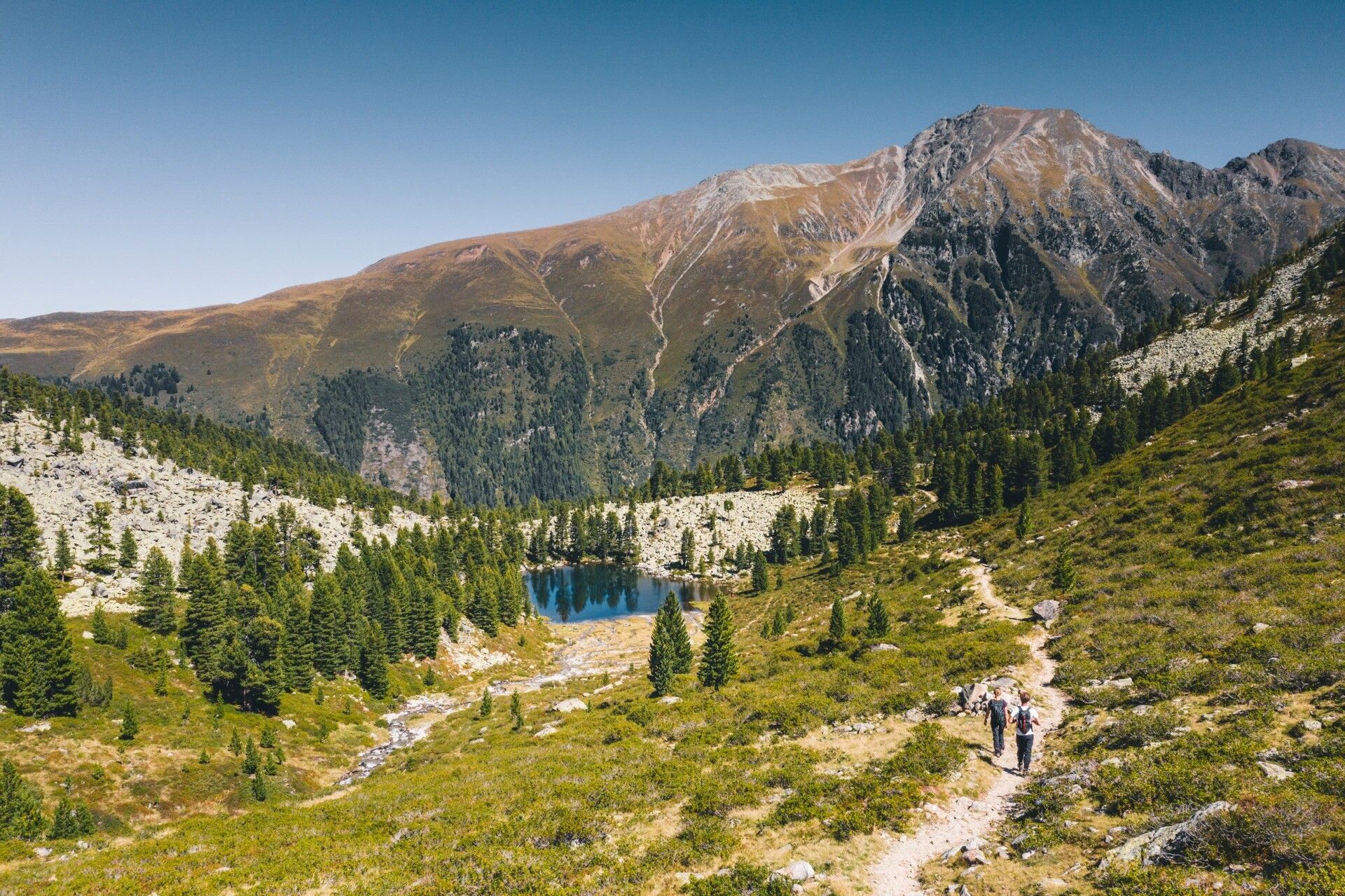
5-day tour in the Ötztal region over 4 peaks following the trail of water
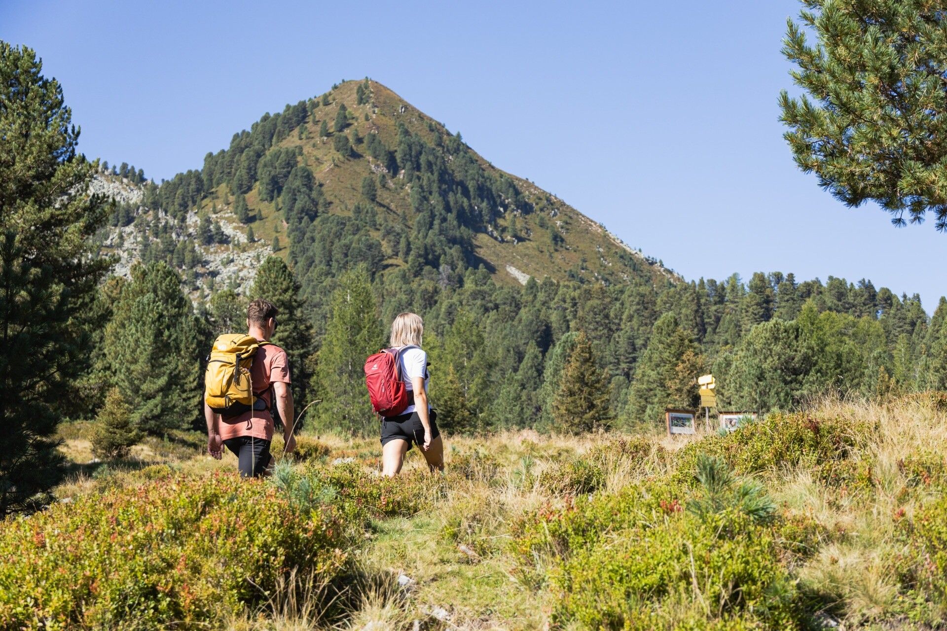
Proper equipment for alpine mountain hikes is essential for all tours in the Alps. Surefooted hiking boots or mountain shoes, a breathable outdoor pants, a rain jacket, as well as a backpack with provisions, drinks, and a first-aid kit are always part of the standard gear. Sunglasses, sunscreen, headwear such as a bandana or hiking hat are also highly recommended, along with a warm second jacket, trekking poles, and gloves if needed. The choice of clothing should always be adapted to the current weather conditions.
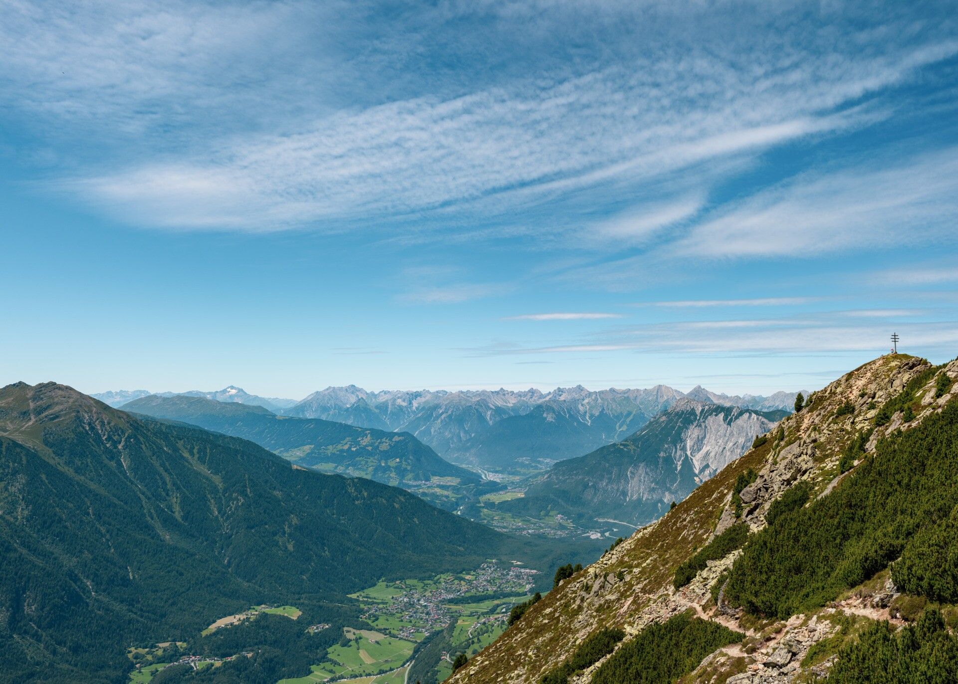
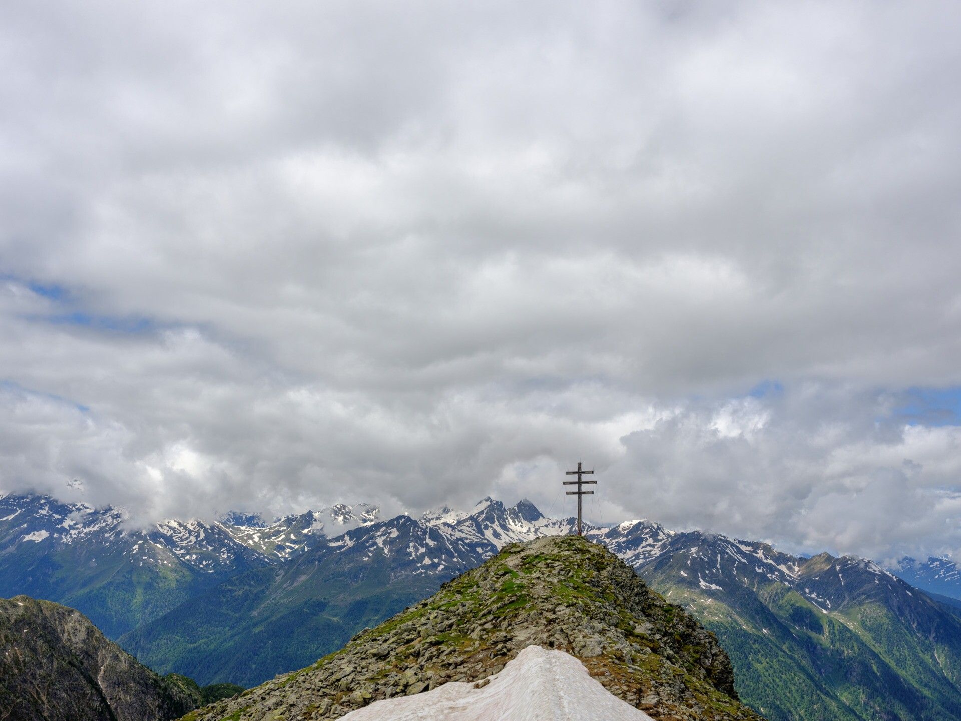
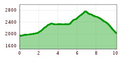
Joint ascent to two peaks: first, we reach the Rosskopf at 2,399m before following the trail to the Wetterkreuz at 2,591m. After a short summit break, we descend through the stunning “Wörgetal” valley along the “Knappenweg” trail, tracing the historical footsteps of medieval mining, until we arrive in Kühtai. There, we circle the Längental reservoir and learn about the utilization of hydropower in Tyrol before reaching the stage destination, the Dortmunder Hütte in Kühtai (1,950m).


")


