
Opening hours:Open today
Place:Oetz
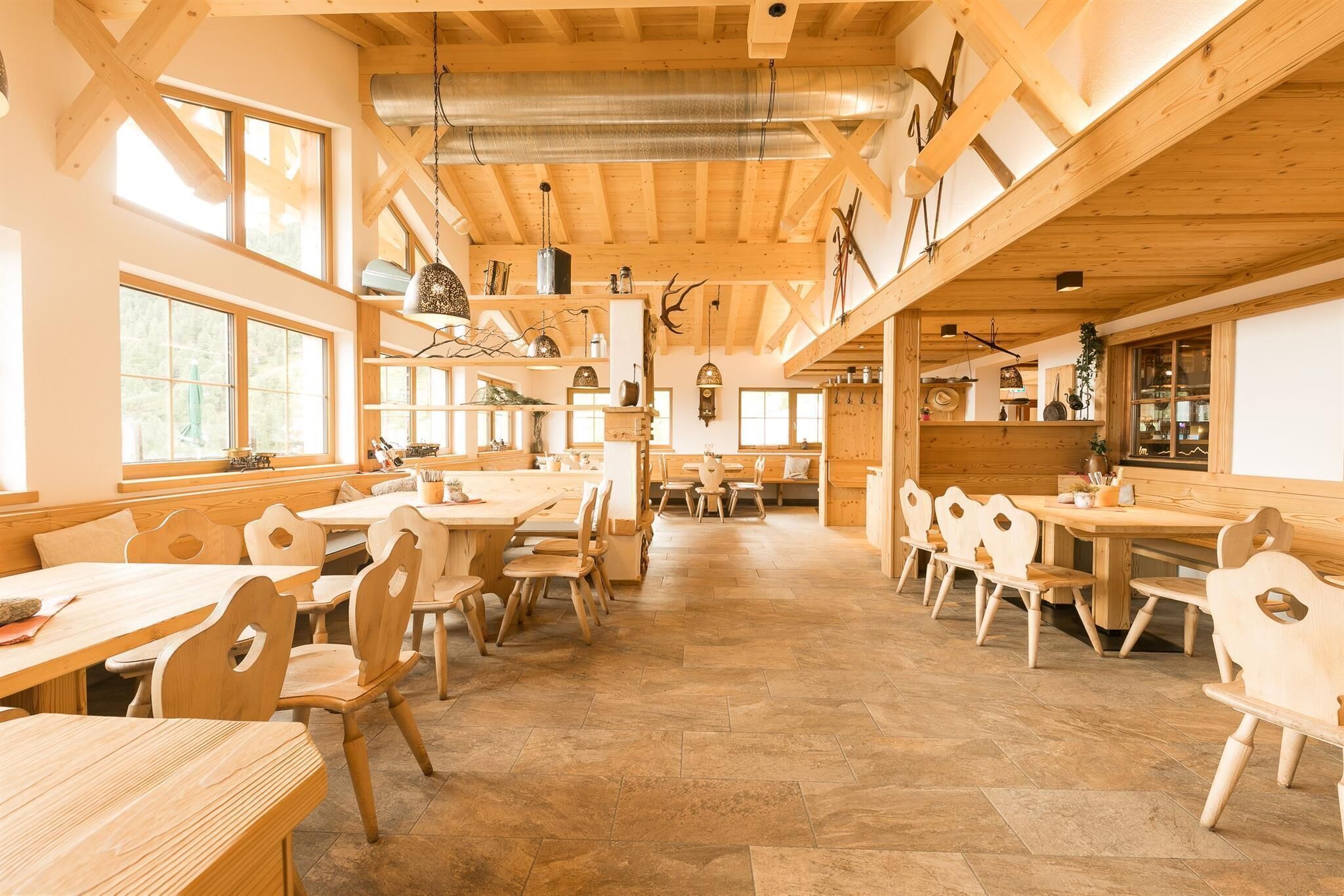
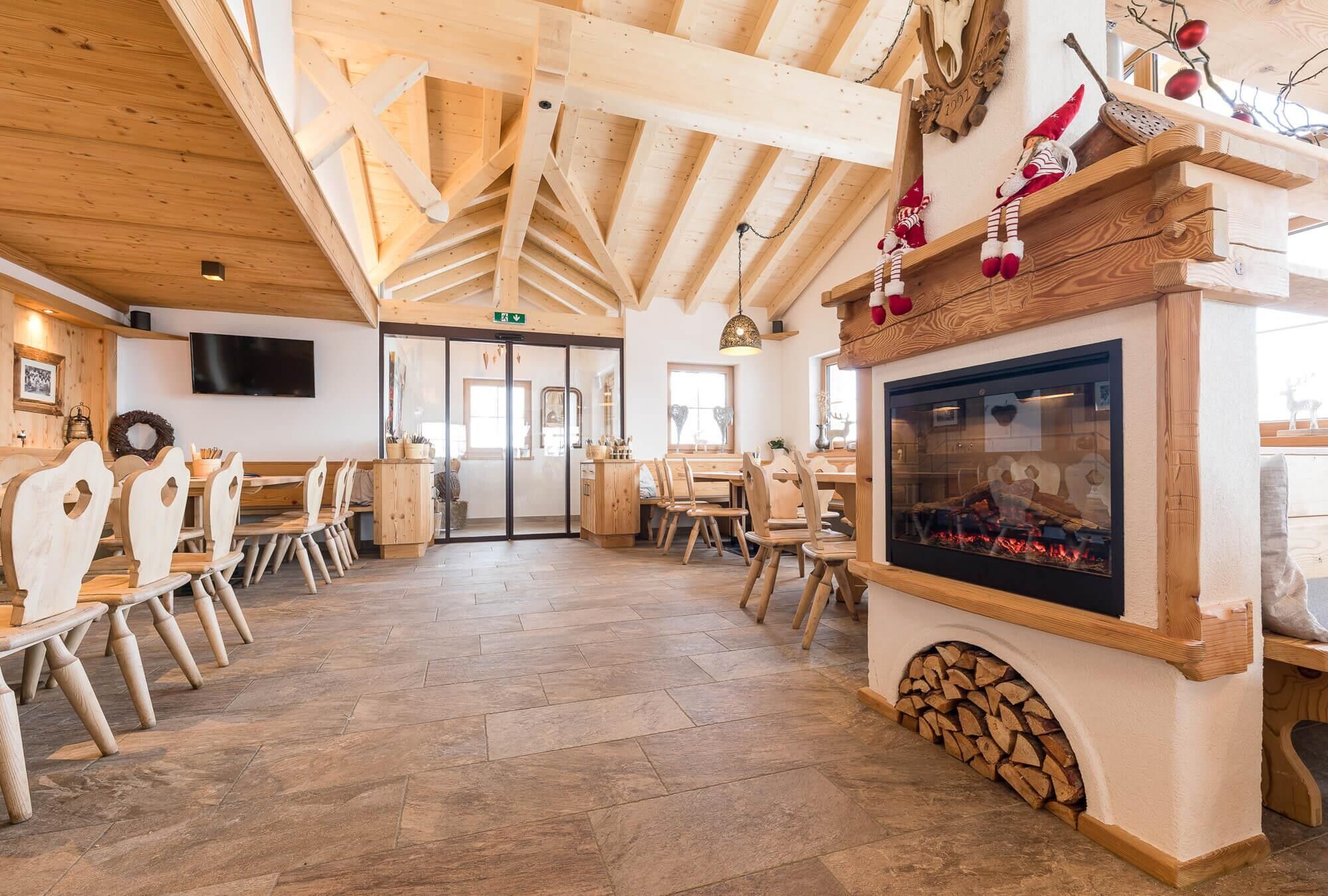
:Restaurant, Alpine pasture / hut / mountain restaurant
PANORAMIC RESTAURANT HOCHOETZ -> BALBACH ALM


You take the Acherkogelbahn up to Hochoetz. From there, a forest road leads left past the Kühtaile Alm to Balbach Alm. The path is wide and also suitable for strollers and wheelchairs with electric assistance.
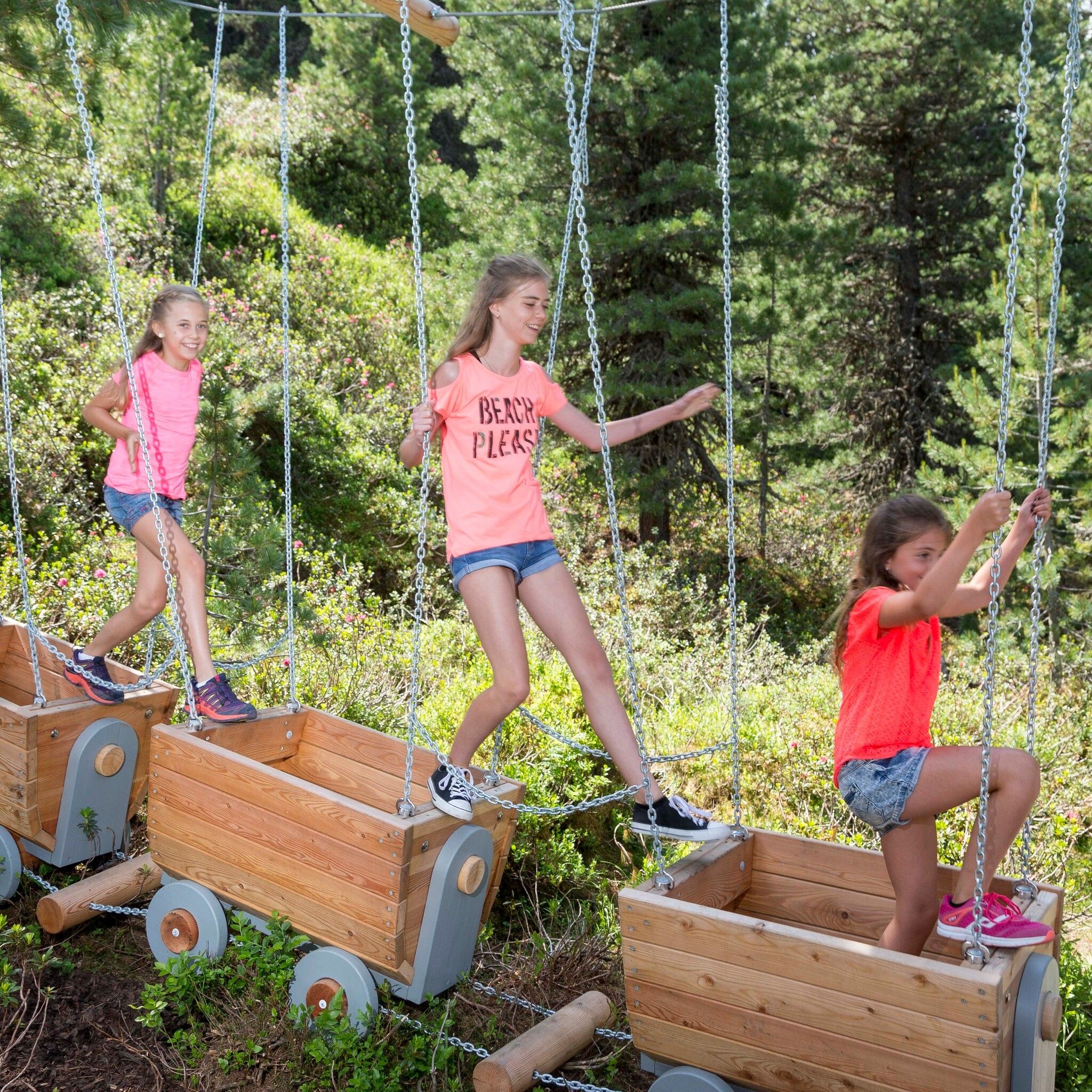
For children, "KUNO's PULLEY" offers lots of fun!
Alternative hiking option: From the panoramic restaurant, first ascend to Mohrenkopf and then descend on the backside to Balbach Alm. Duration: approx. 45 minutes
From Ochsengarten via the forest path: Duration approx. 1 hour
Travel comfortably and safely by train to the Ötztal train station. The final stop or exit point is ÖTZTAL station. Afterwards, you can conveniently and quickly continue by public bus service or local taxis throughout the valley to your desired destination! The current bus schedule is available at: http://fahrplan.vvt.at
The following parking options are available:


")


