Mountain hikes Bichlbach - summit of Kohlbergspitze

Bichlbach / Ammergauer Alpen
Difficulty ratings: medium
Route length: 5.4 km
Duration: 4:30 h

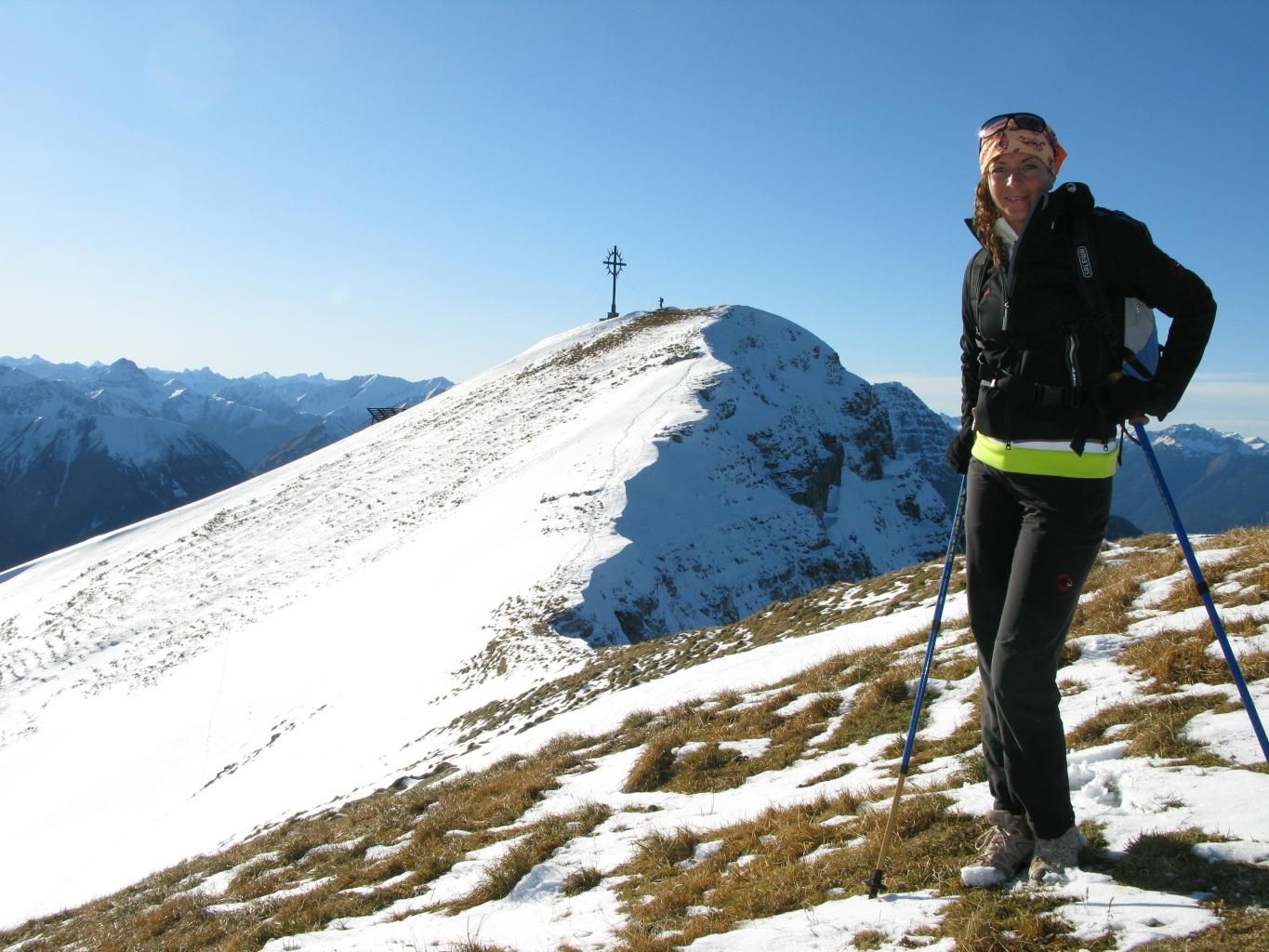
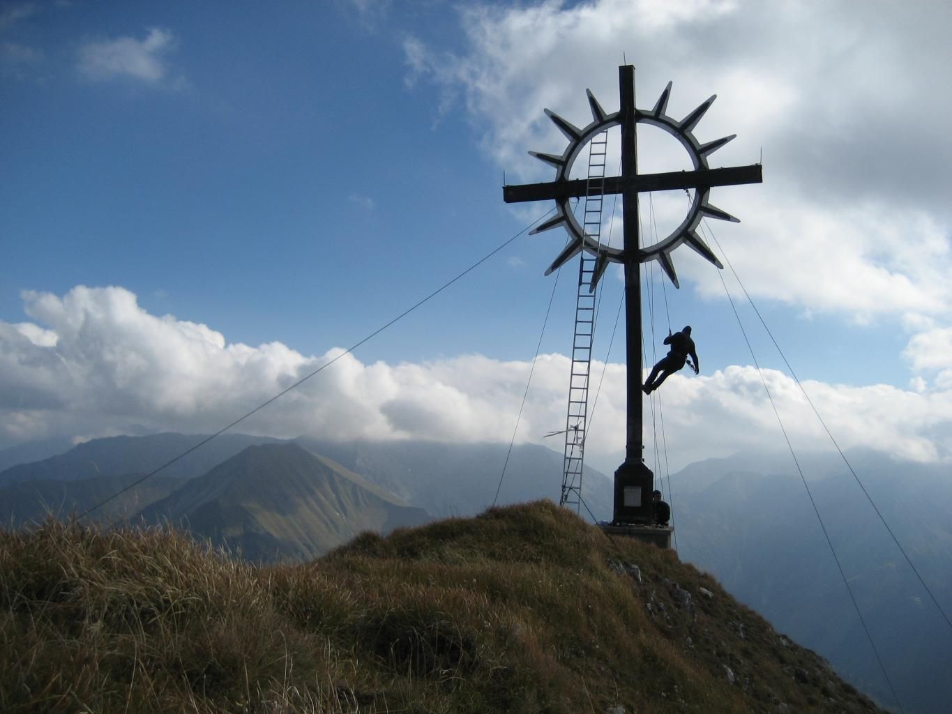
Mountain tour to the Kohlbergspitze summit with its panoramic views

Tour information

  • Requirement: medium
  • Length: 5.4 km
  • Duration: 4:30 h
  • Elevation uphill:1,118 hm
  • Elevation downhill:0 hm
Highest point2,202 m

Starting point

Bichlbach - Community center, Zunfthaus

Finishing point

Kohlbergspitze
  • Fitness level 5 / 6
  • Technique 4 / 6

Best time of year

  • January
  • February
  • March
  • April
  • May
  • June
  • July
  • August
  • September
  • October
  • November
  • December

Trail condition

Gravel road and hiking trail.
Gravel and natural ground.

Equipment

Appropriate clothing, sturdy shoes, rain protection, sun protection, hiking poles, sufficient water. No climbing equipment required.
Source: Tiroler Zugspitz Arena

Description

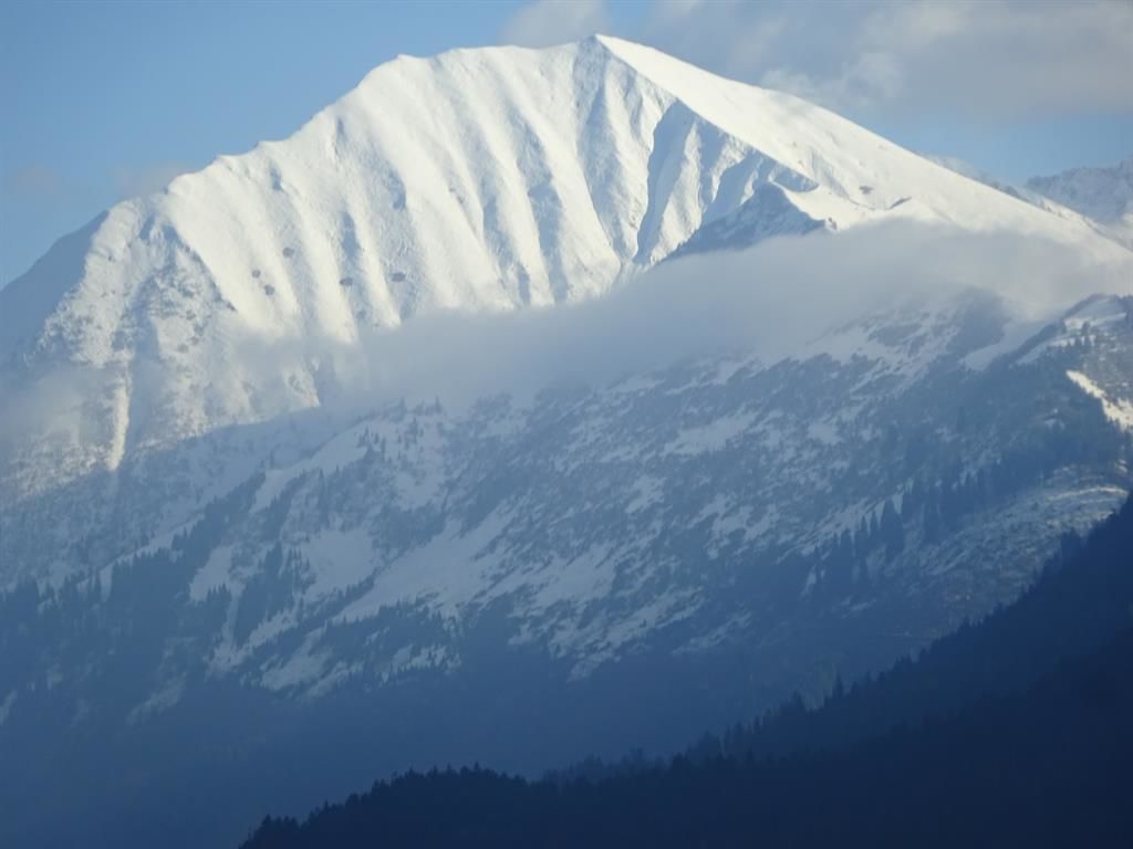
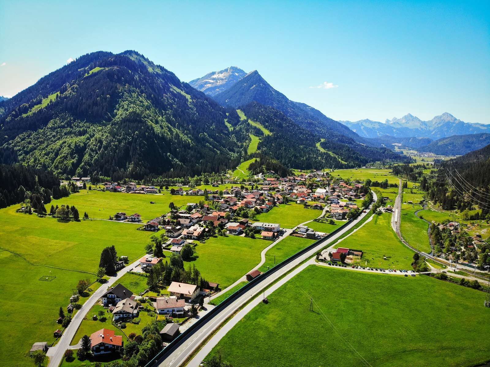
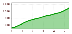
The starting point of this scenic tour on Bichlbach’s local mountain is the Bichlbach tourist office. The path behind the guild house leads under the road and railway, over the small brook bridge to the “Panoramaweg” trail. The well marked uphill trail with steep hairpin bends towards the Kohlbergspitze begins straight after the bridge.

ALTERNATIVE:
For experienced hikers who are surefooted and have a head for heights, there is the option of climbing over the Zingerstein to the Kohlbergspitze (black mountain trail). The junction is about halfway up.

IMPORTANT NOTES:
●   Stay on the marked hiking trails
●   Keep your distance from grazing animals
●   Be aware of the mountain hut opening hours
●   Alpine emergency call: 140

Nearby huts and mountain restaurants

Getting here

  • Parking

    You will find numerous parking facilities in and around Bichlbach.

More tours in the surrounding area

Newsletter

The mountain is calling? So does our newsletter!

In our monthly newsletter we reveal the best holiday tips for Tyrol.