
Opening hours:Open today
Place:Serfaus
:Alpine pasture / hut / mountain restaurant
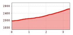
Brunnenkopfsteig (2.685 m)
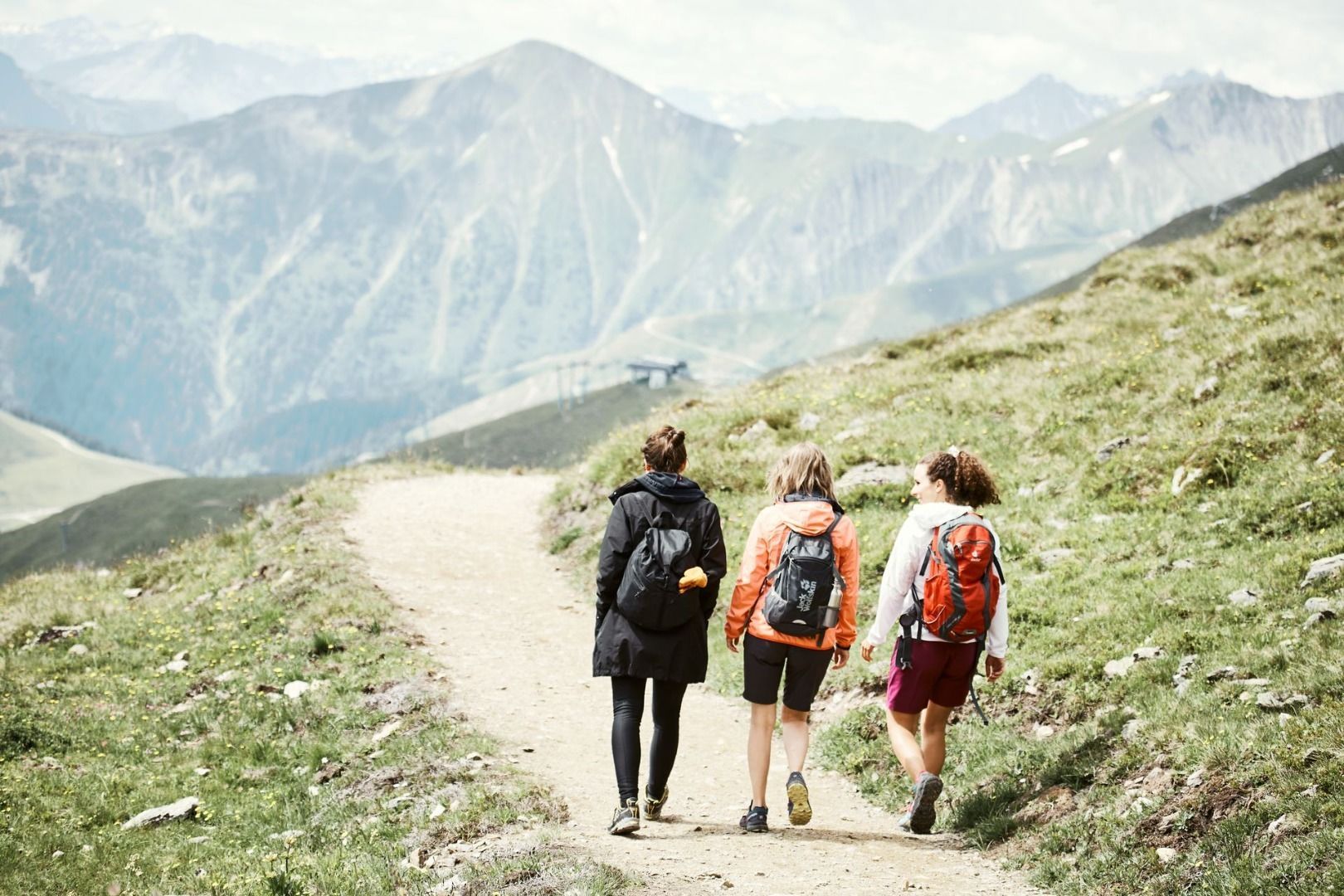
Go on the Quellensteig (Source Trail) no. 20 to the crossing (S243). Turn left and head upwards on trail no. 20a to the Fisser Waal (S244, ruins of a water moat). The trail continues in many serpentines, past a wrought iron crucifix to the Vorderer Brunnenkopf (S255).


 neu.jpg")


")


 (1).jpg")

.jpg")

")


