Arrival by public transport
Line 210, 220, 273, Bus stop Prutz Innbrücke
Beautiful hike from Prutz to Fendels and on to Burgschrofen.
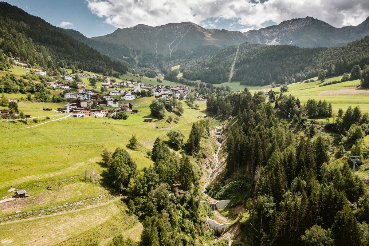
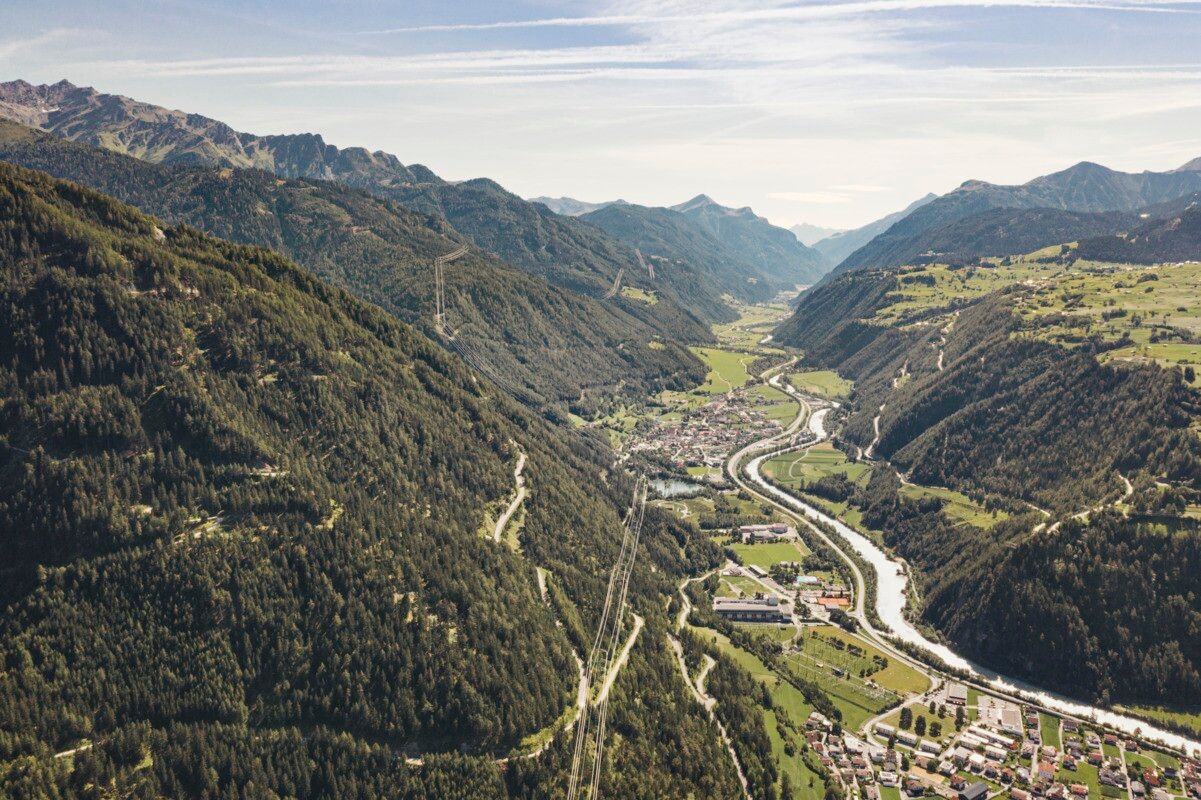
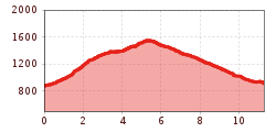
This varied hike begins in Prutz at the tourist information office. First, follow Hintergasse until you reach a noticeable bend, where you turn left onto a forest road. From there, the moderately ascending “Old Fendels Path” leads you through shady woodland up to Fendels.Once you arrive in the charming mountain village, walk through the village until you reach the parish church of Maria Himmelfahrt. After passing the church, the route continues to the left along a paved road towards Burgschrofen.At Burgschrofen, located north of Fendels, you will find the impressive water reservoir, which regulates the water supply to the Kaunertal power plant. From here, follow a descending hiking trail. The final section of the hike leads along a road, taking you directly back to Prutz.
Line 210, 220, 273, Bus stop Prutz Innbrücke


 neu.jpg")


")


 (1).jpg")

.jpg")

")


