
Opening hours:Today closed
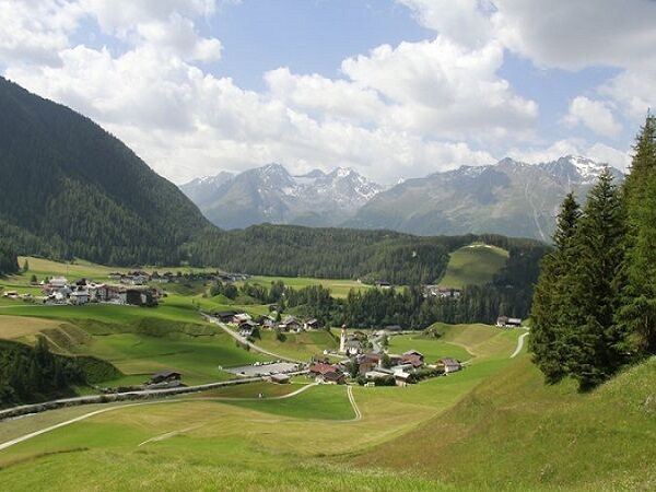
Place:Niederthai
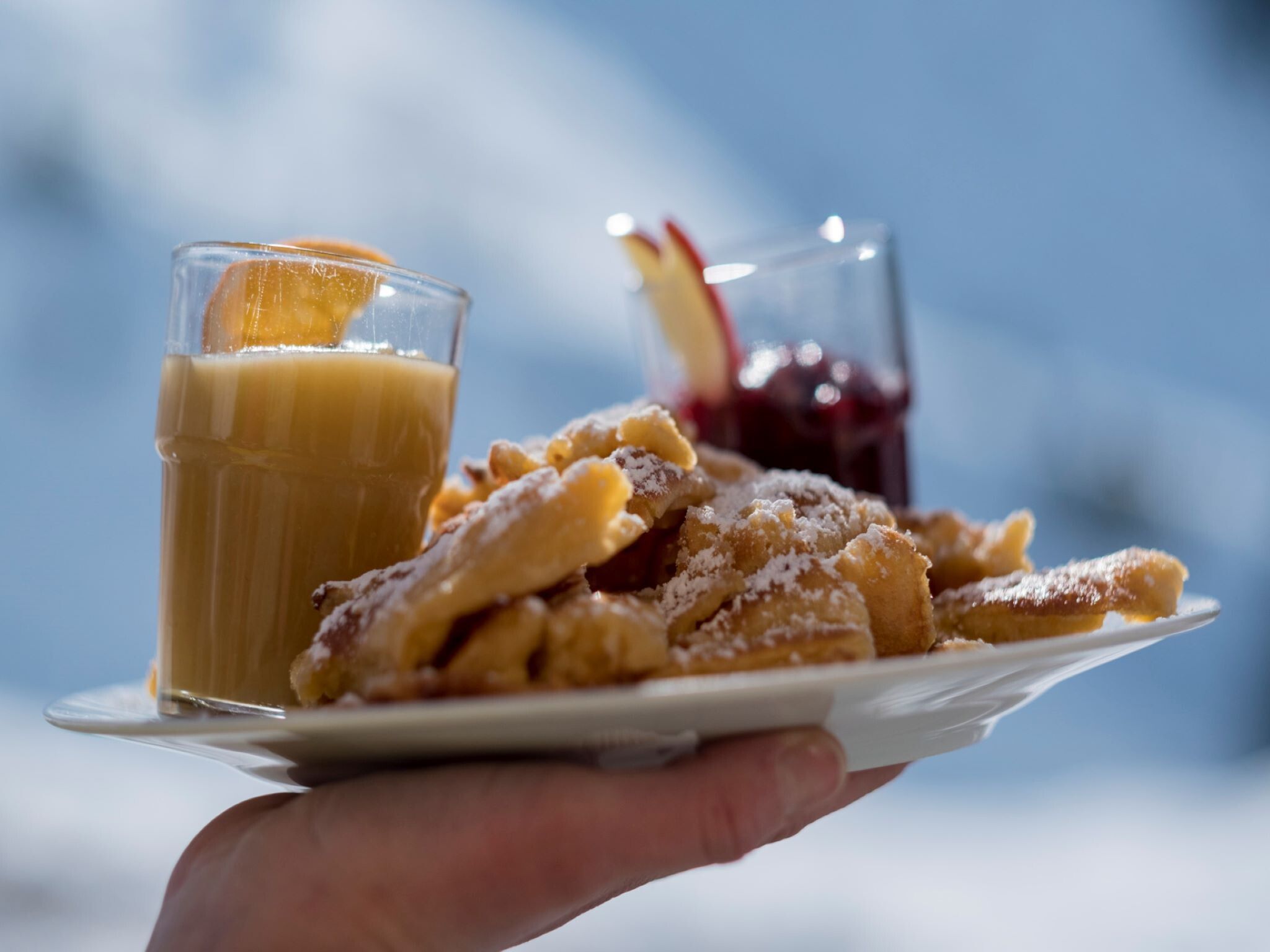
:Alpine pasture / hut / mountain restaurant
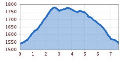
NIEDERTHAI -> Sennhof parking lot -> Bergmahderweg -> Larstigalm -> Grastalweg -> NIEDERTHAI
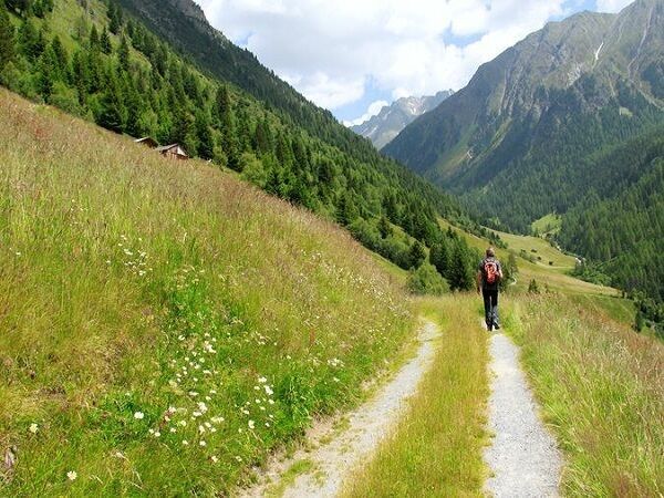
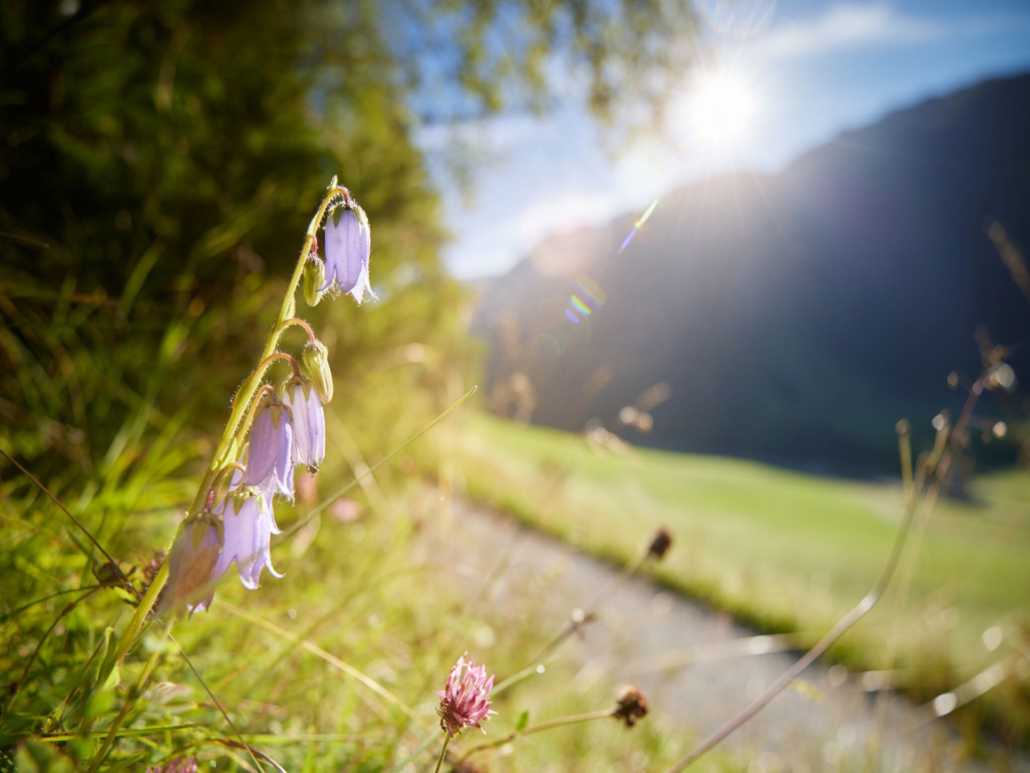
Easy hiking trail; suitable for beginners and walkers
Please observe the current weather report
Appropriate equipment such as breathable and weather-appropriate outdoor clothing, ankle-high hiking boots, wind, rain and sun protection, hat, possibly gloves, is required for all hikes and routes. Carrying a first aid kit, a mobile phone and possibly a hiking map is necessary, as well as sufficient provisions for hikes without opportunities to stop for refreshments.
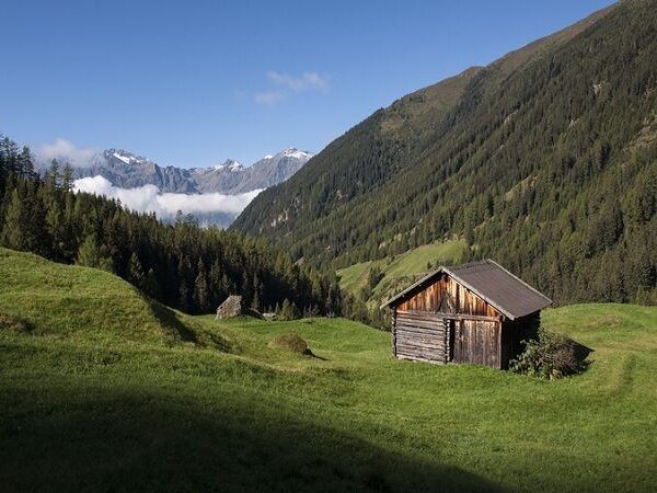
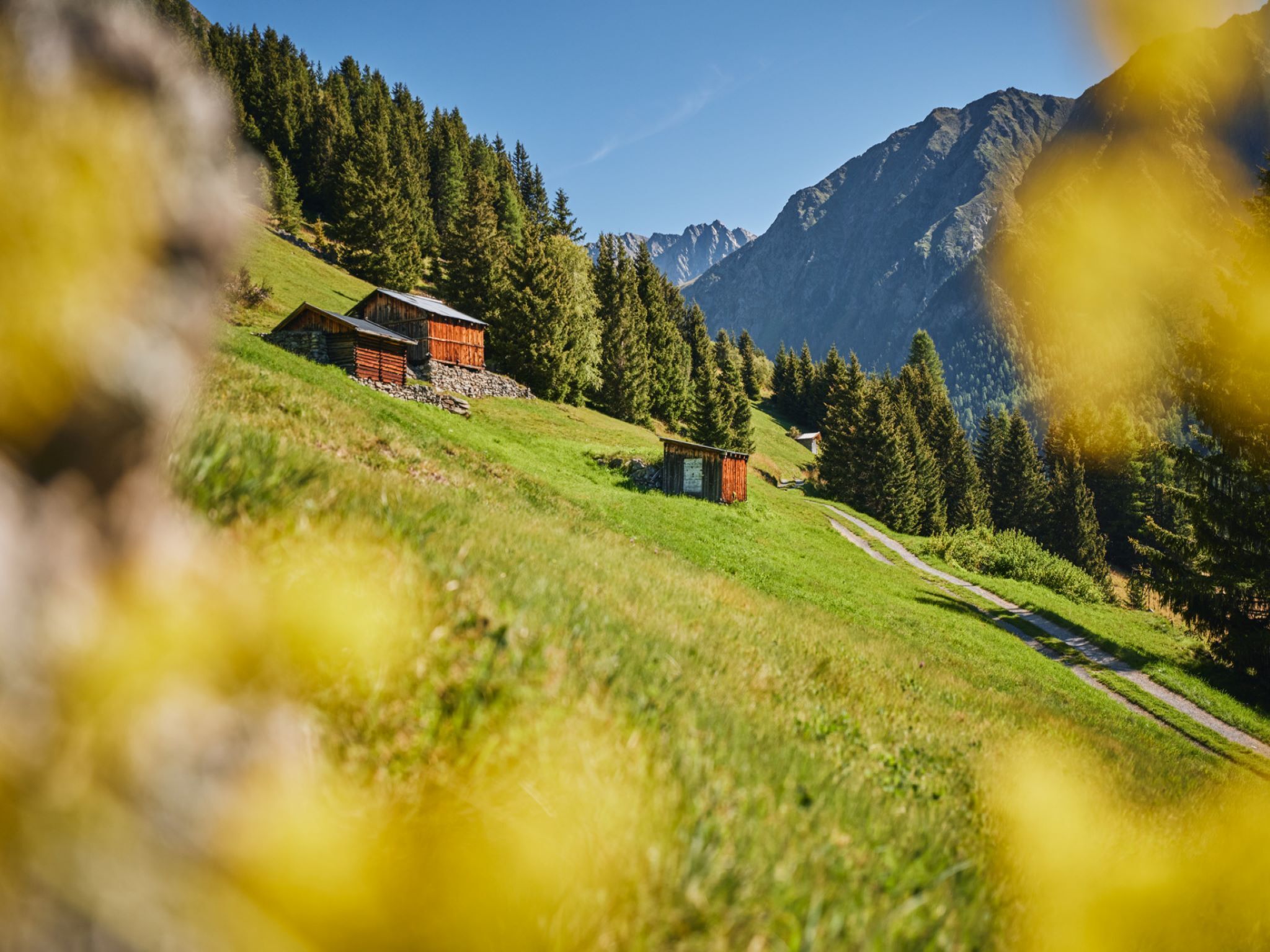
The hike begins in Niederthai at the Sennhof parking lot. From there, turn right over the wooden bridge towards the district of Höfle and after about 200 meters turn right into Bergmahderweg. You walk along the wide forest path – Bergmahderweg. The sunny spot by the Hubertus Chapel invites you to linger. The last section leads into a narrow descending hiking trail and over the bridge you reach the Larstigalm directly. On the way back you walk on the left side along Grastalweg past the Grastal field on the wide forest path through an enchanting larch and spruce forest. Over a slightly descending ridge with a railing, you reach the Hotel Falknerhof. There, following the asphalt road to the right, you return to the parking lot. Alternatively, at the curve before it goes down to Hotel Falknerhof, you can take a narrow, somewhat steeper hiking trail (shortcut) back to the starting point, the parking lot.
Travel comfortably and safely by train to the Otztal train station. The final stop or exit point is the ÖTZTAL station. Afterwards, you travel conveniently and quickly by public bus or local taxi companies through the entire valley to your desired destination! The current bus schedule is available at: http://fahrplan.vvt.at
In Niederthai, the following parking options are available:


