Mountain hikes Circular hike Brunnerberg-Scheffachberg

Reith im Alpbachtal / Kitzbühel Alps
Difficulty ratings: easy
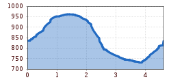
Route length: 4.6 km
Duration: 1:40 h

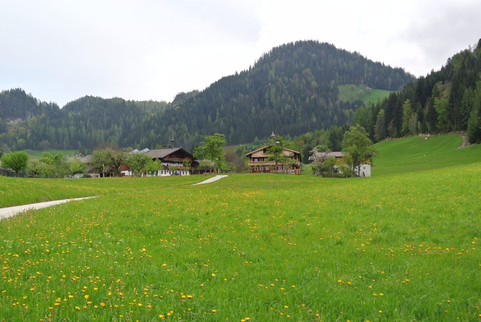
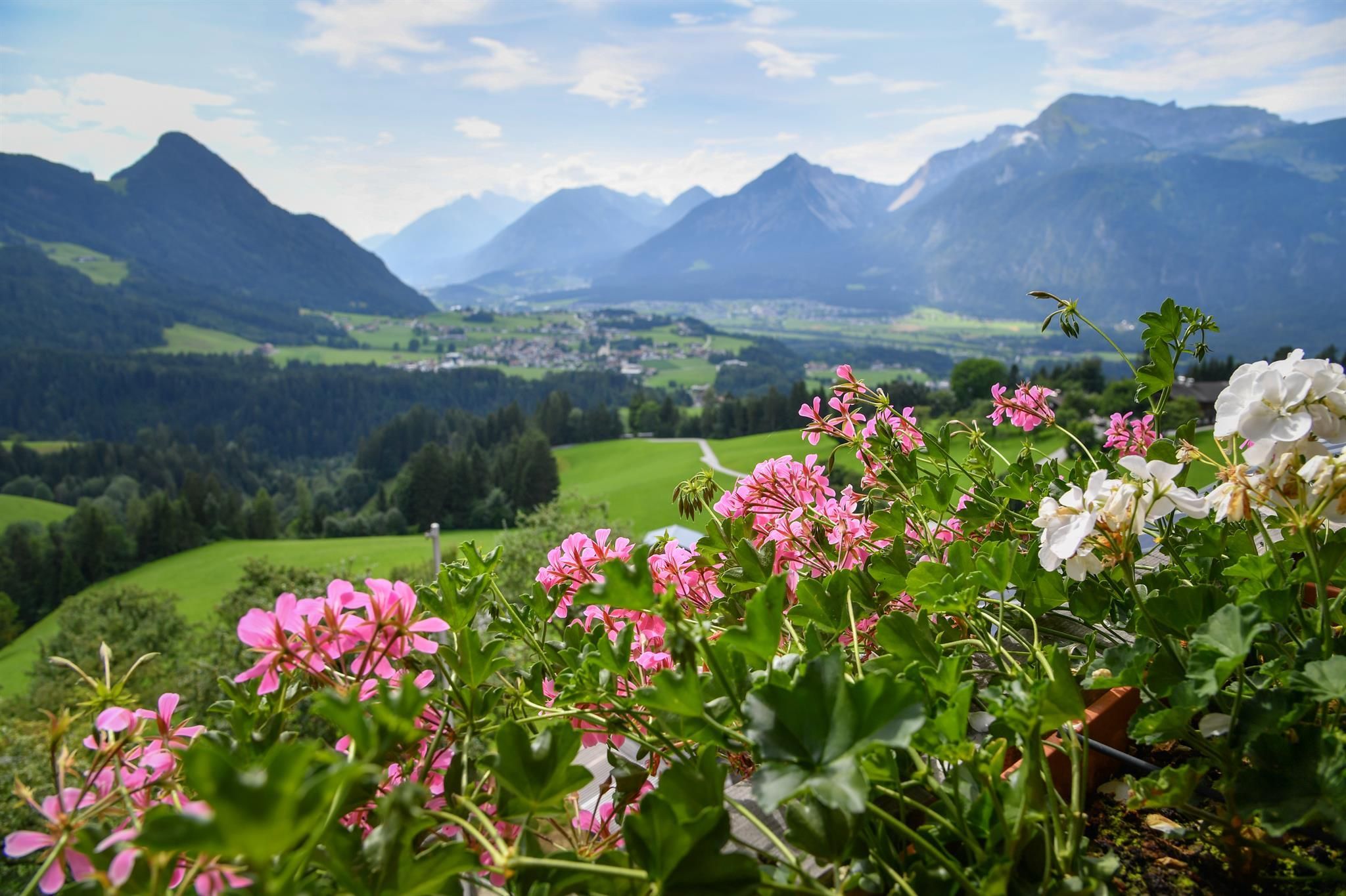
Beautiful circular hike with views over the Inn Valley and the surrounding mountain scenery.
Tour information

  • Requirement: easy
  • Length: 4.6 km
  • Duration: 1:40 h
  • Elevation uphill:251 hm
  • Elevation downhill:251 hm
Highest point978 m

Starting point

Alpengasthof Pinzgerhof

Finishing point

Alpengasthof Pinzgerhof
  • Fitness level 2 / 6

Best time of year

  • January
  • February
  • March
  • April
  • May
  • June
  • July
  • August
  • September
  • October
  • November
  • December

Equipment

Sturdy shoes and protective clothing

sturdy shoes and weather gear

Source: Alpbachtal Tourismus

Description

From the mountain guesthouse Pinzgerhof upwards via path no. R24 through the forest towards Silberbergalm. At the crossing keep right and continue upwards over the Silberbergbach to the farms "Ramsberg". From here follow the driveway downwards to the next junction, here turn right onto a field path towards Heisthof (former Scheffachalm). At the road keep right again and continue to Heisthof.  From here downhill again to the crossing Pinzgerhof and ascending to the starting point.


Nearby huts and mountain restaurants

Getting here

  • Arrival by public transport

    not possible

  • Parking

    A12 motorway exit Kramsach/Brixlegg, direction Brixlegg, direction Alpbachtal, immediately after the tunnel turn left and uphill to the Pinzgerhof
    Alpengasthof Pinzgerhof

Weather

Today

clear sky
20°C/3°C
0%0l5 km/h

Thu

light rain showers
16°C/5°C
55%2.9l5 km/h

Fri

clear sky
18°C/6°C
0%0l5 km/h
Go to weather forecast

More tours in the surrounding area

  • Kundler Klamm

    Difficulty:easy
    Length:6.4 kmDuration:2:00 hElevation uphill:116 m
  • Kaiser Gorge - loop trail

    Difficulty:easy
    Length:4.2 kmDuration:1:00 hElevation uphill:198 m
  • 3-day Family Tour Alpbachtal

    Difficulty:easy
    Length:18.3 kmDuration:7:00 hElevation uphill:998 m
  • Rofan tour - stage 3

    Difficulty:difficult
    Length:11.8 kmDuration:7:30 hElevation uphill:1,150 m
  • Barrier-free path Lake Reintal

    Difficulty:medium
    Length:7.0 kmDuration:1:45 hElevation uphill:15 m
  • Farmkehralm 1.521 m

    Difficulty:medium
    Length:9.3 kmDuration:3:30 hElevation uphill:506 m
  • Loop tour Juppi Zauberwald

    Difficulty:easy
    Length:2.5 kmDuration:1:00 hElevation uphill:93 m
  • Day 1: 4 days - 4 summits tour

    Difficulty:medium
    Length:9.8 kmDuration:5:00 hElevation uphill:984 m
  • 3-peak-tour Kienberg-Plessenberg-Heuberg

    Difficulty:medium
    Length:8.6 kmDuration:4:30 hElevation uphill:779 m
  • Day 3: 4 days - 4 summits tour

    Difficulty:medium
    Length:19.3 kmDuration:8:00 hElevation uphill:1,371 m
  • 4 days - 4 summits tour

    Difficulty:medium
    Length:54.4 kmDuration:23:00 hElevation uphill:3,408 m
  • Voldöpper Spitze Loop Hike

    Difficulty:medium
    Length:12.9 kmDuration:5:00 hElevation uphill:988 m
Newsletter

The mountain is calling? So does our newsletter!

In our monthly newsletter we reveal the best holiday tips for Tyrol.