Arrival by public transport
Bus stop Matrei i. O. Korberplatz
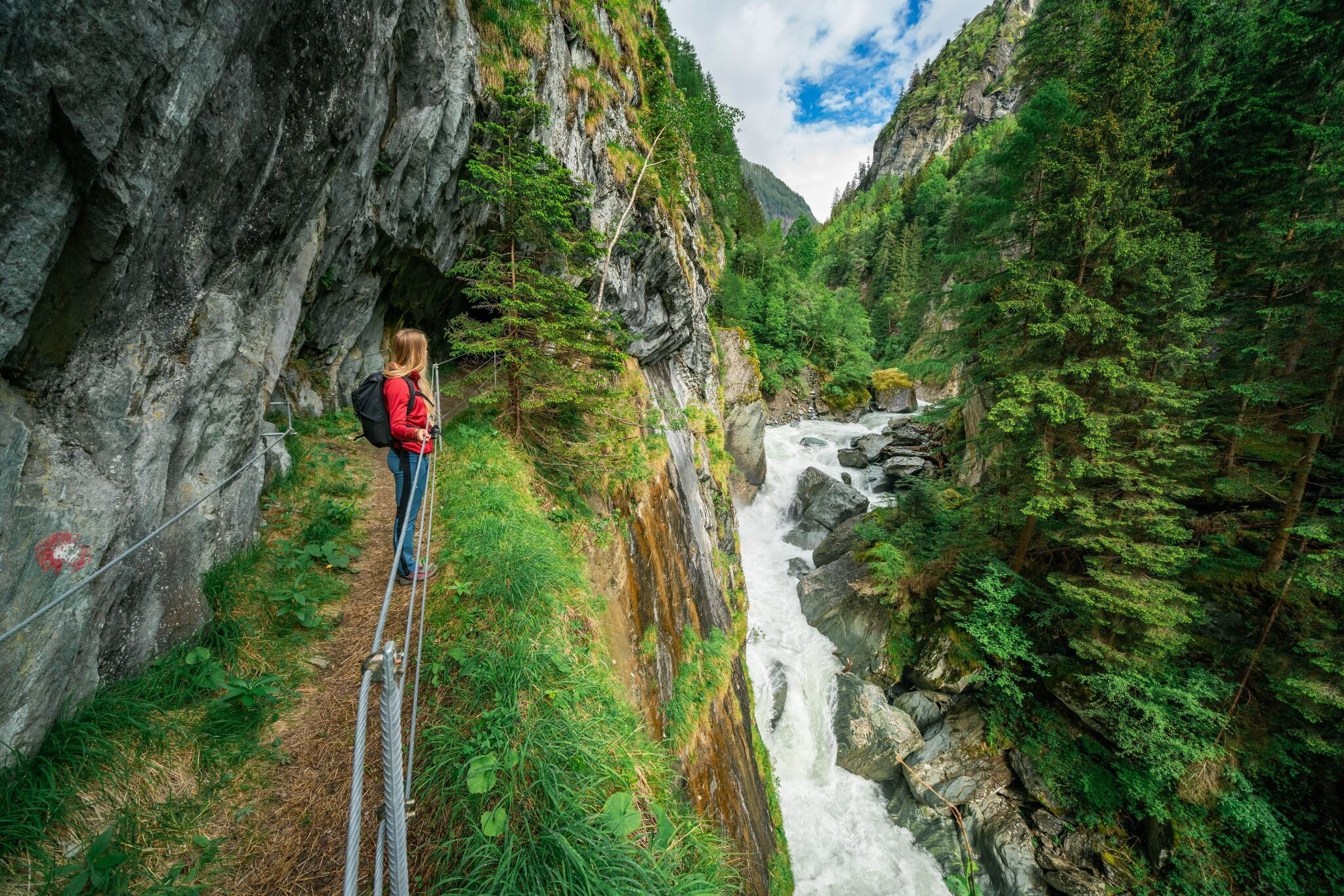
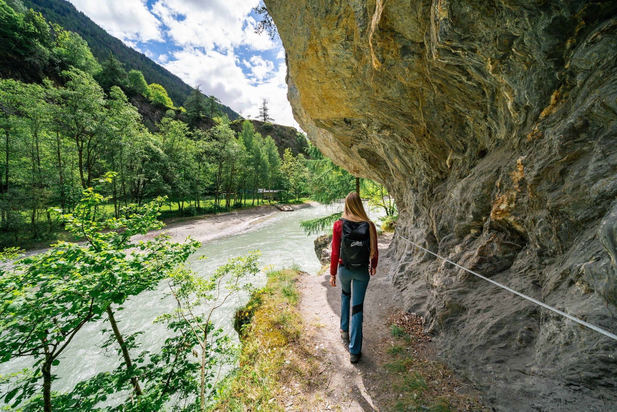
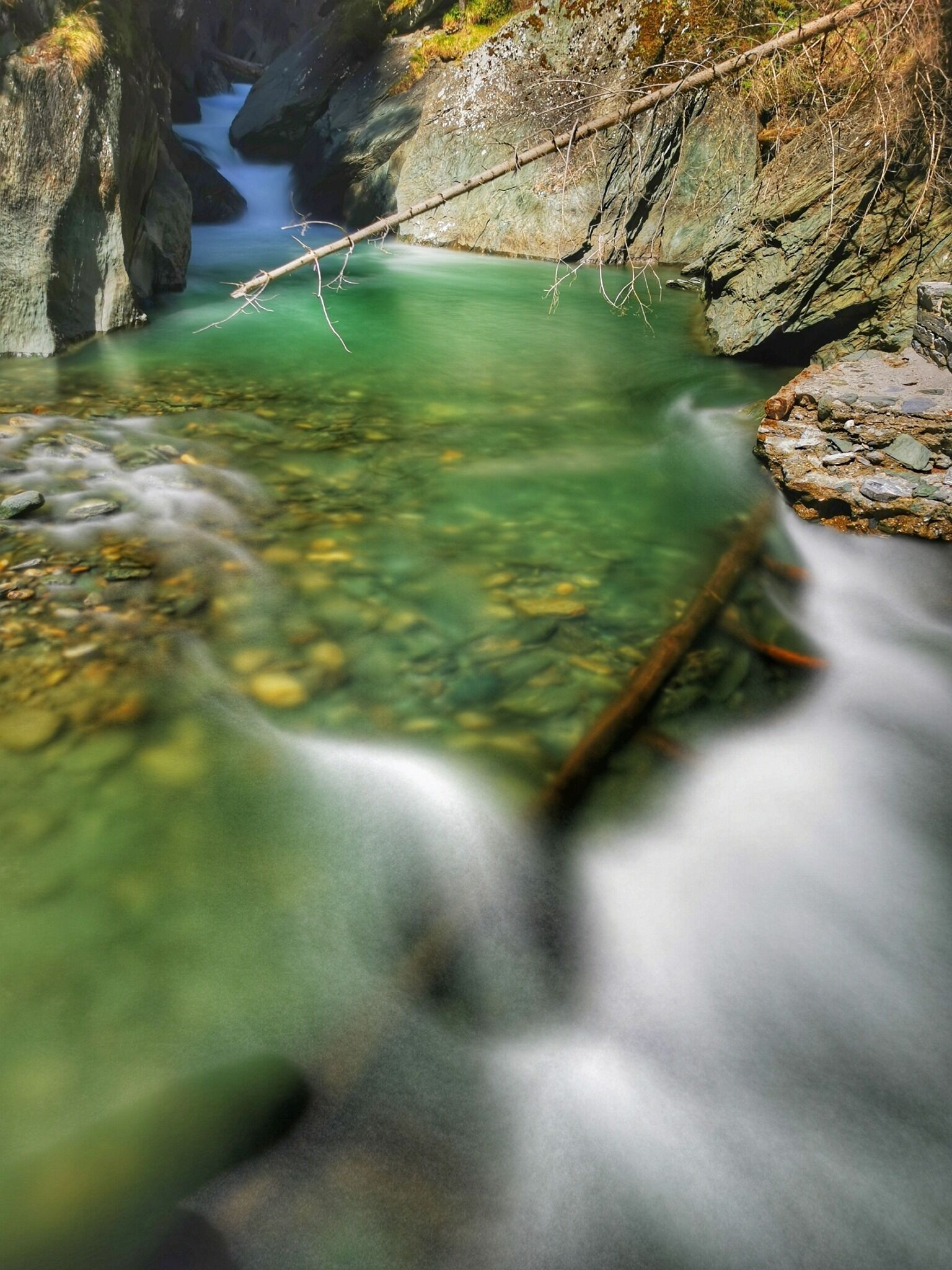
A spectacular hike through the Proßeggklamm Gorge
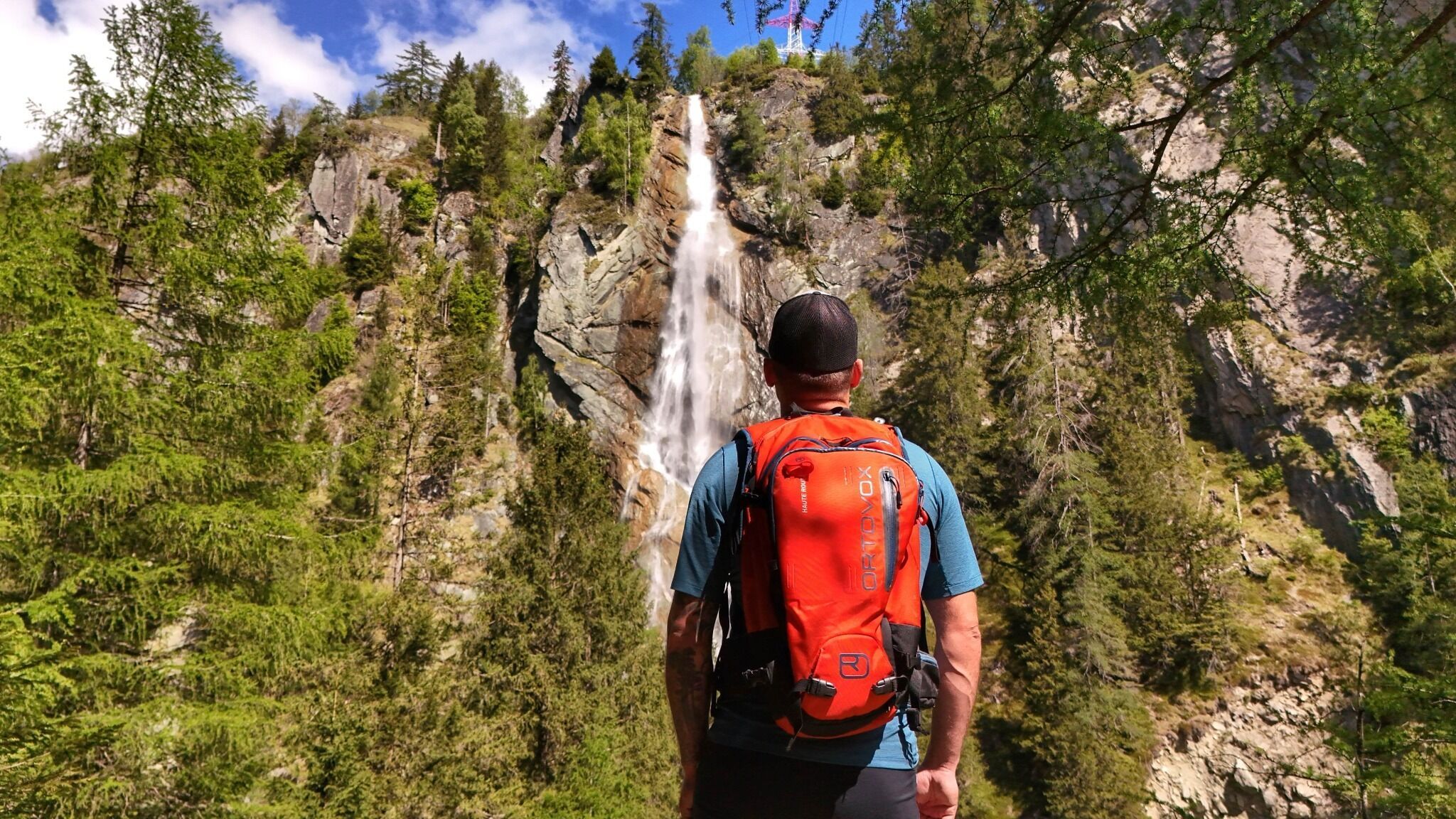

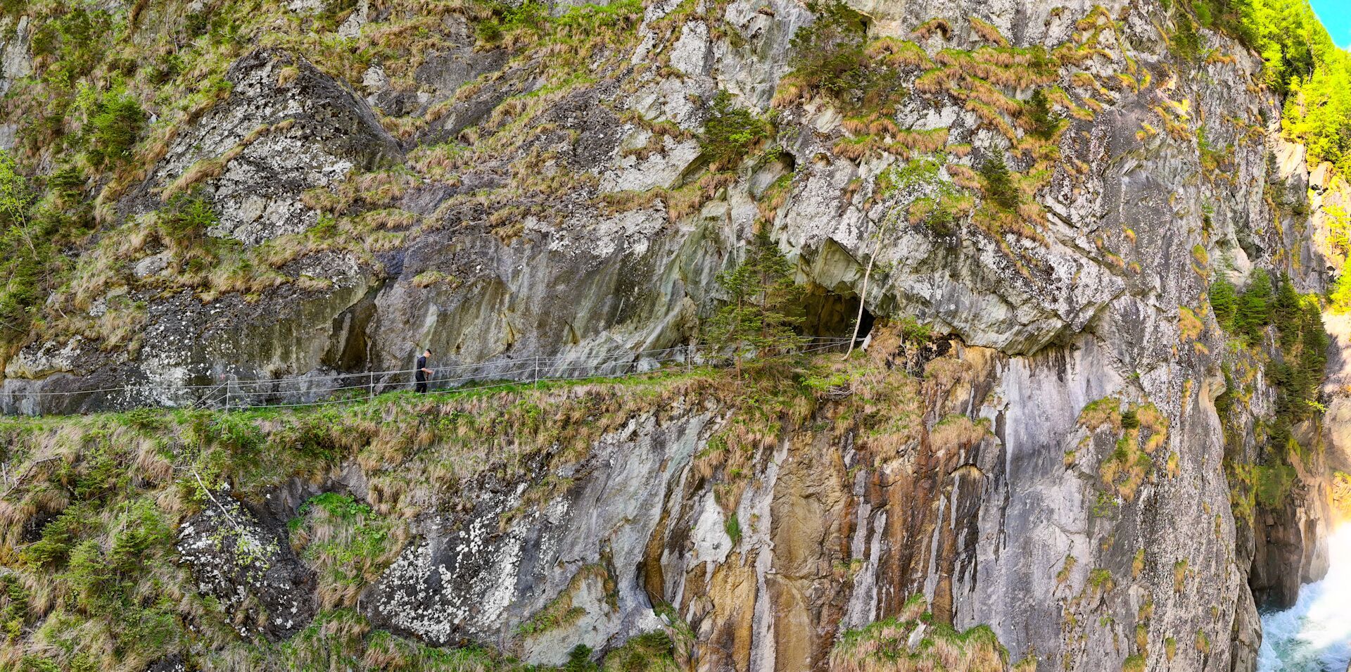
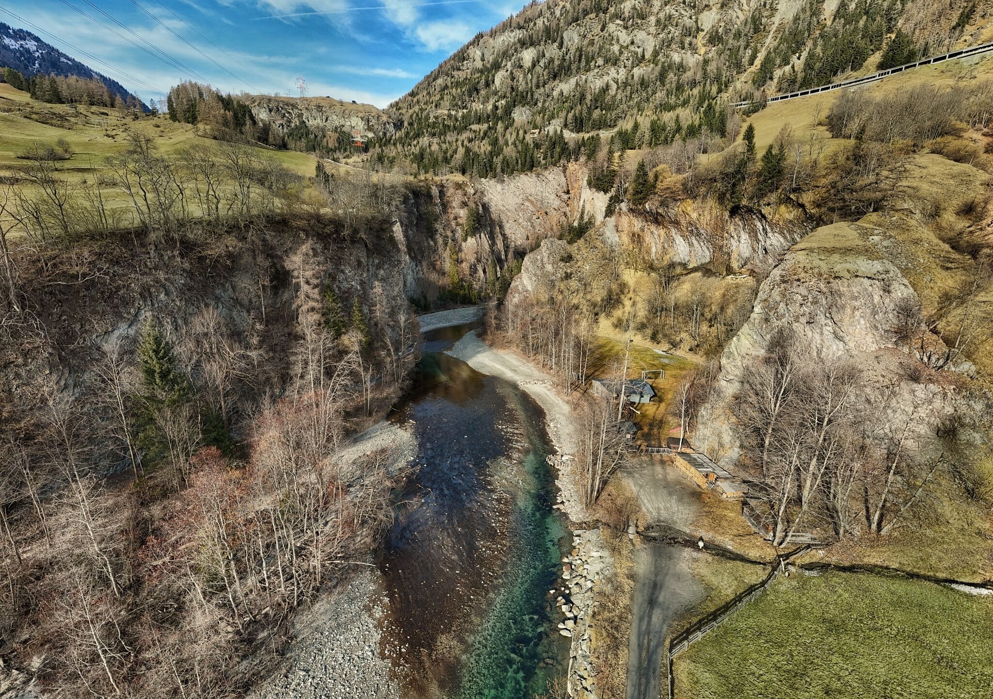
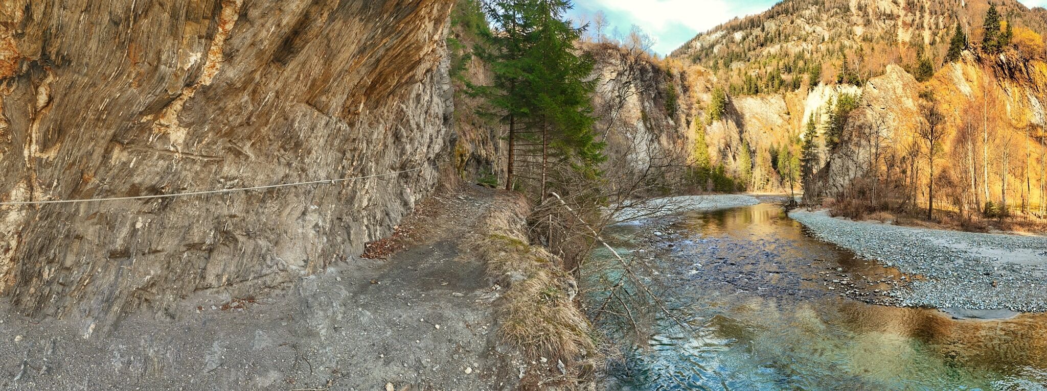

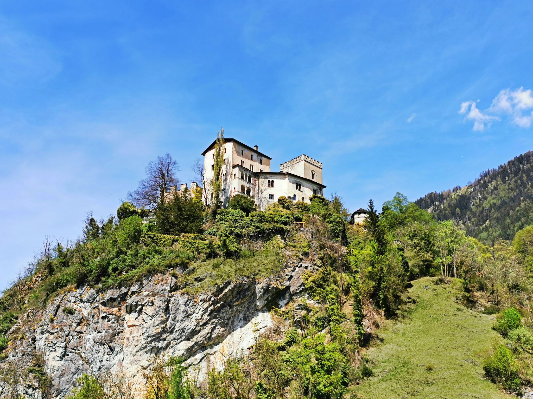
One of the most beautiful canyons in Osttirol is accessible again since summer 2024!
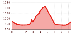
The hiking trail is classified as a red mountain trail - so you should definitely bring surefootedness with you. You can hire helmets at the tourist information centre in Matrei i. O. The trail leads from the southern entrance to the canyon - past calm river meadows - into the gorge, which is over 120 metres deep. The mighty Steiner waterfall plunges over 100 metres into the gorge and provides you with a cooling, fresh spray on hot summer days.
Helmets can be hired at the tourist information in Matrei i. O.!
Bus stop Matrei i. O. Korberplatz
Car park Korberplatz


 neu.jpg")


")


 (1).jpg")

.jpg")

")


