Mountain hikes Circular route Hösl chapel - Höslalm

Alpbach / Kitzbühel Alps
Difficulty ratings: medium
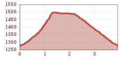
Route length: 3.9 km
Duration: 1:30 h

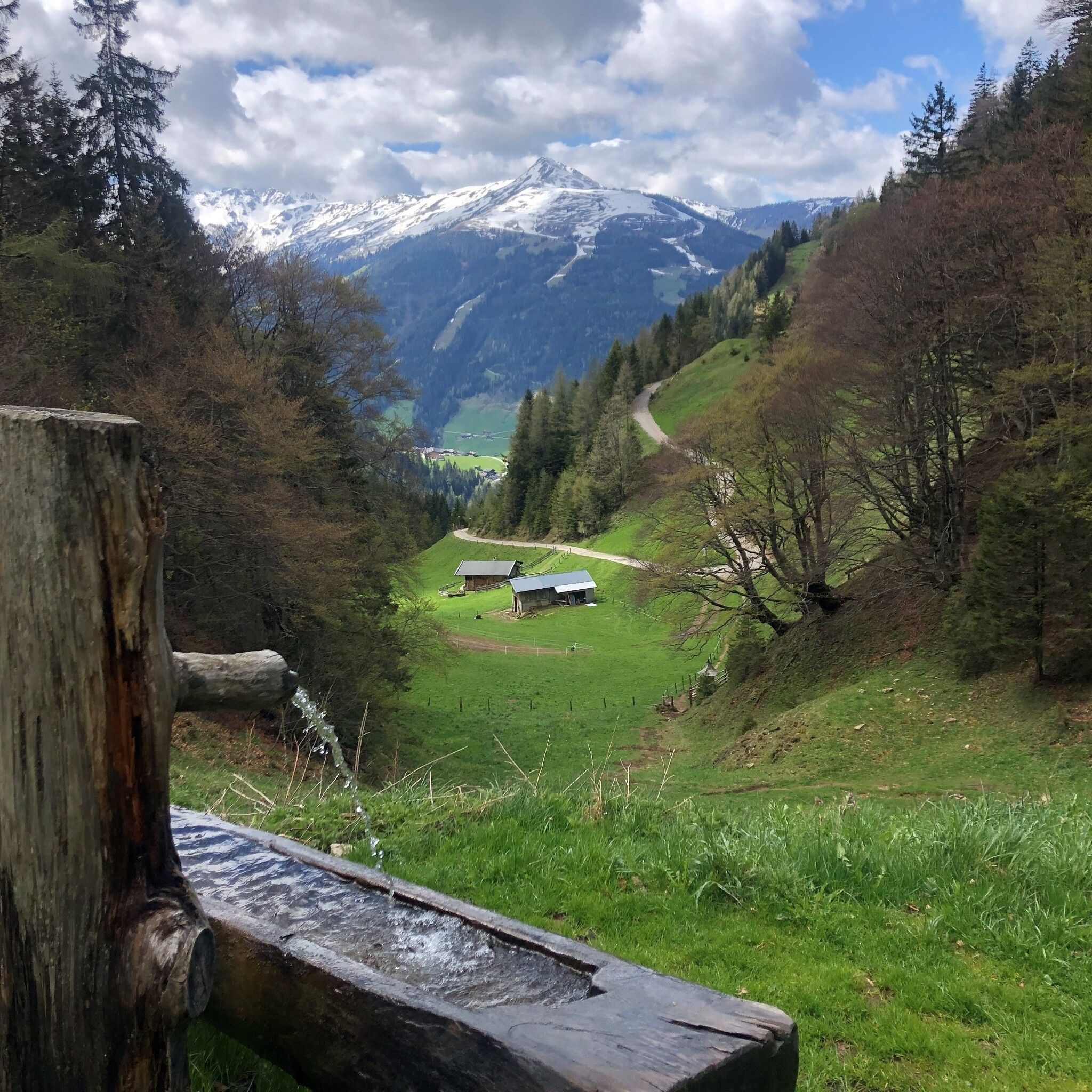
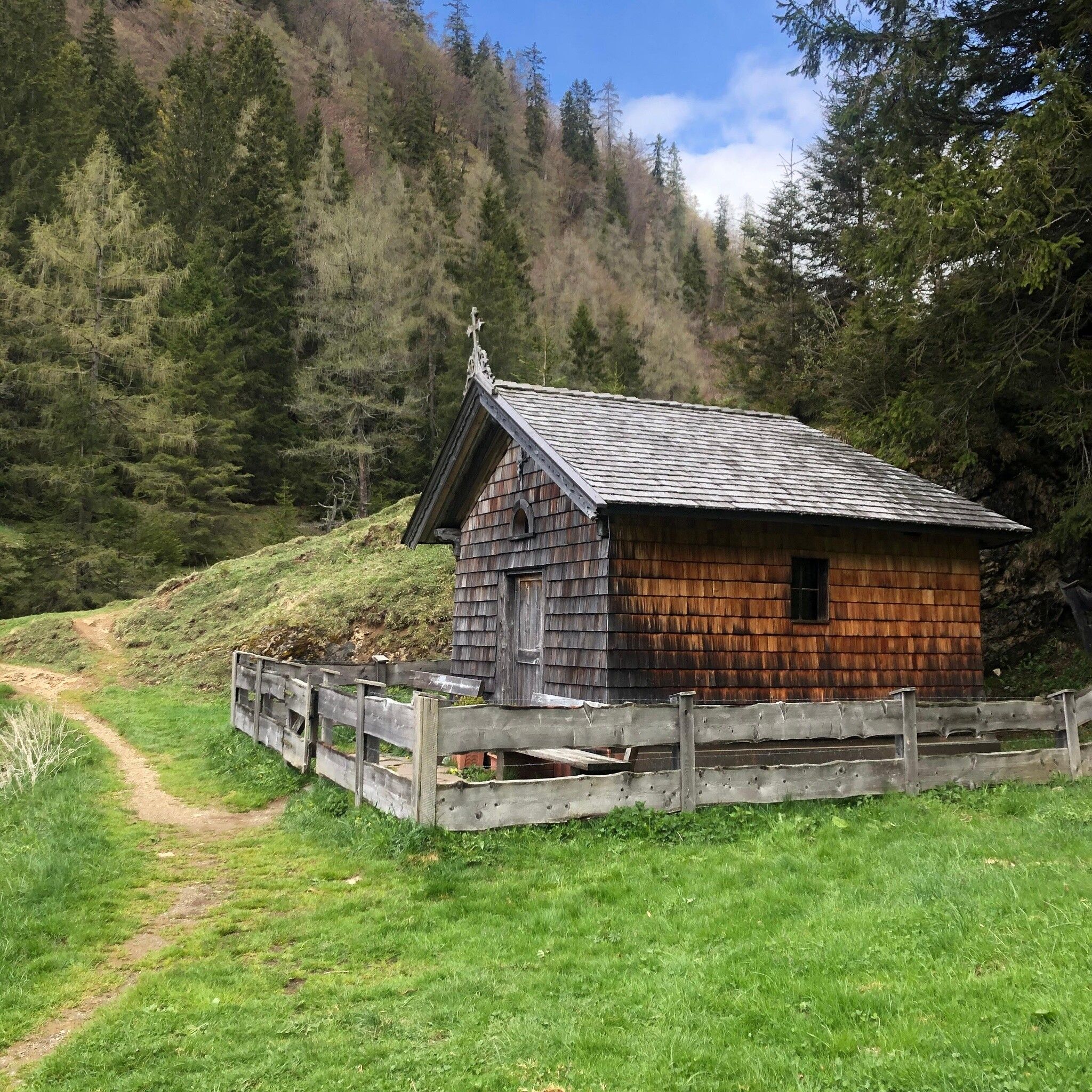
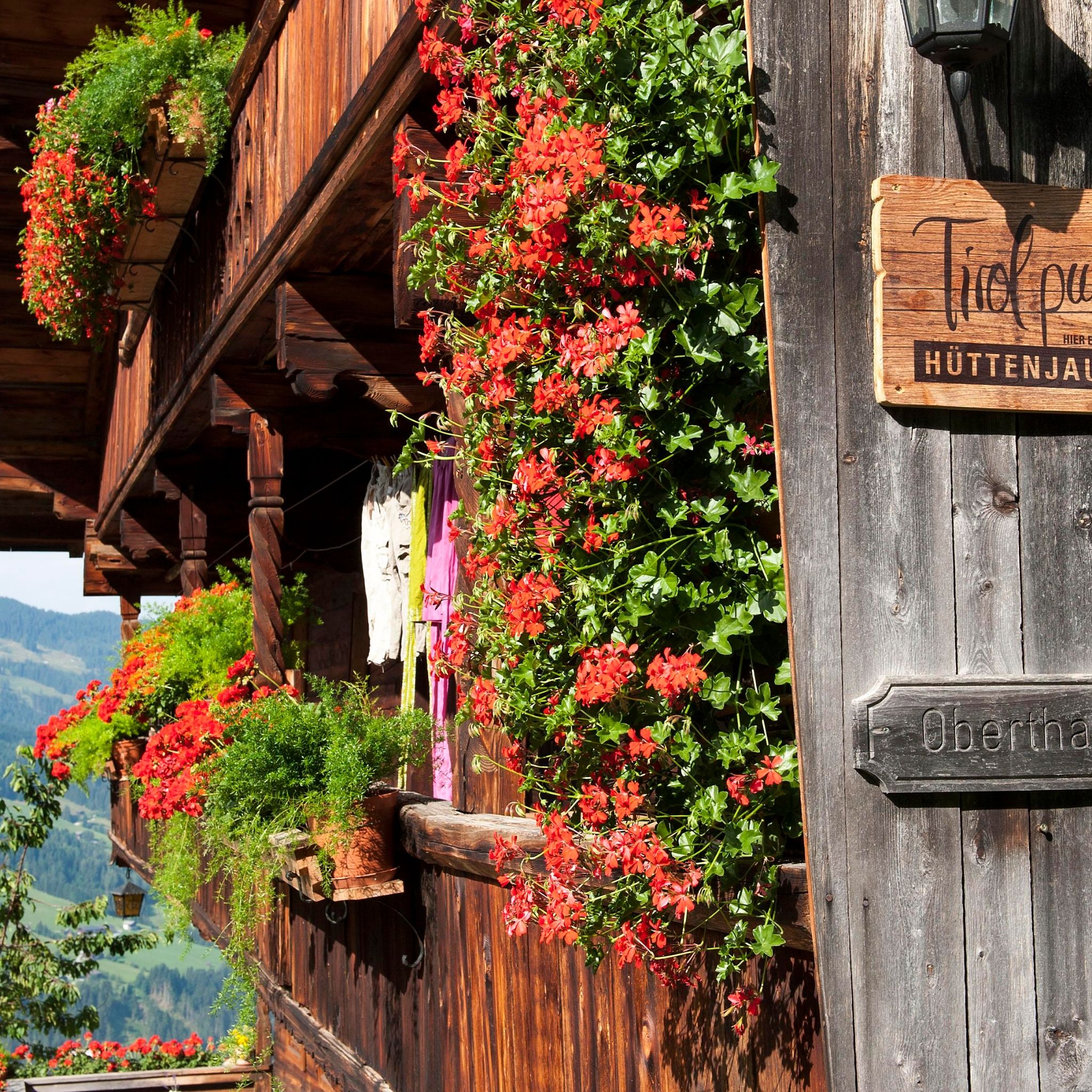
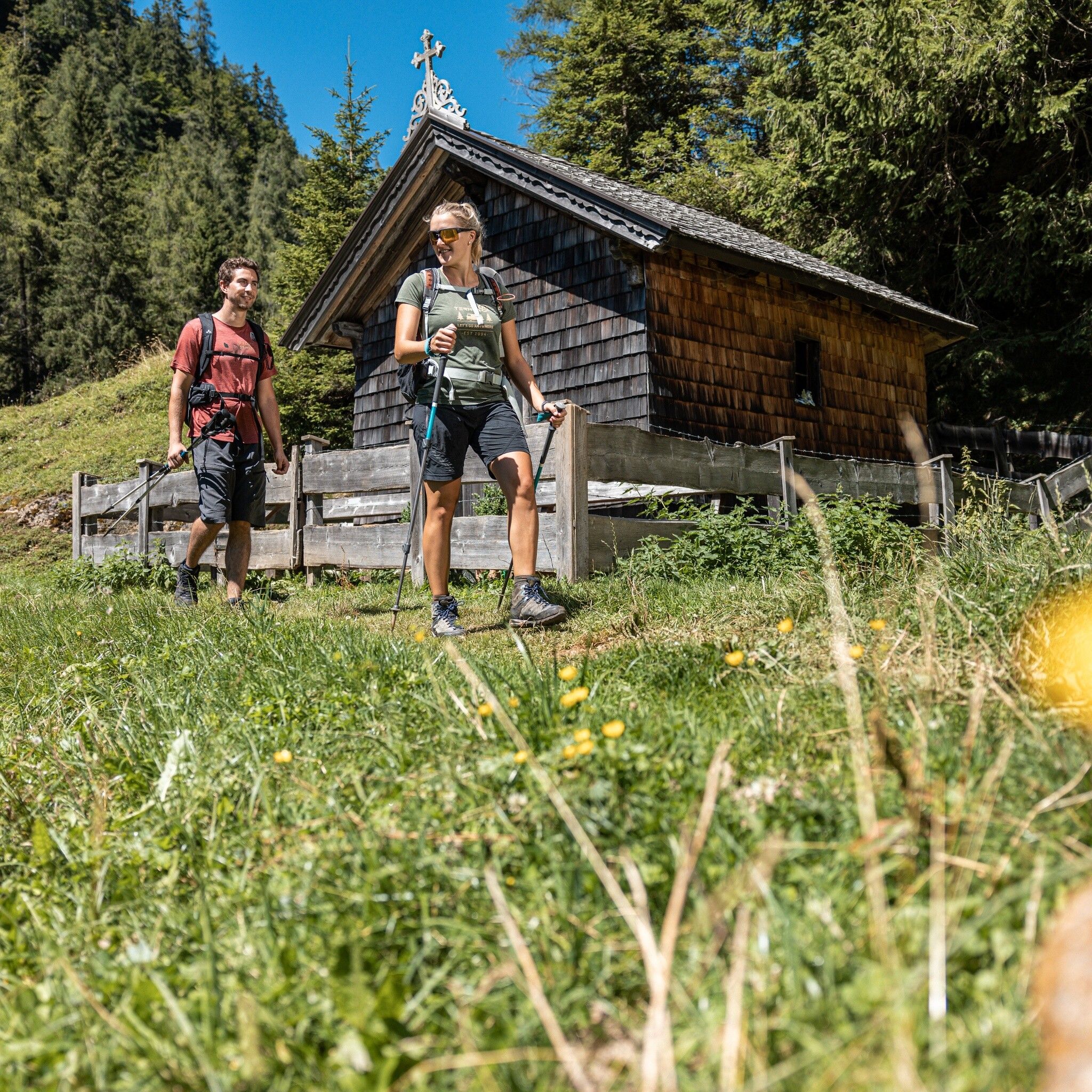
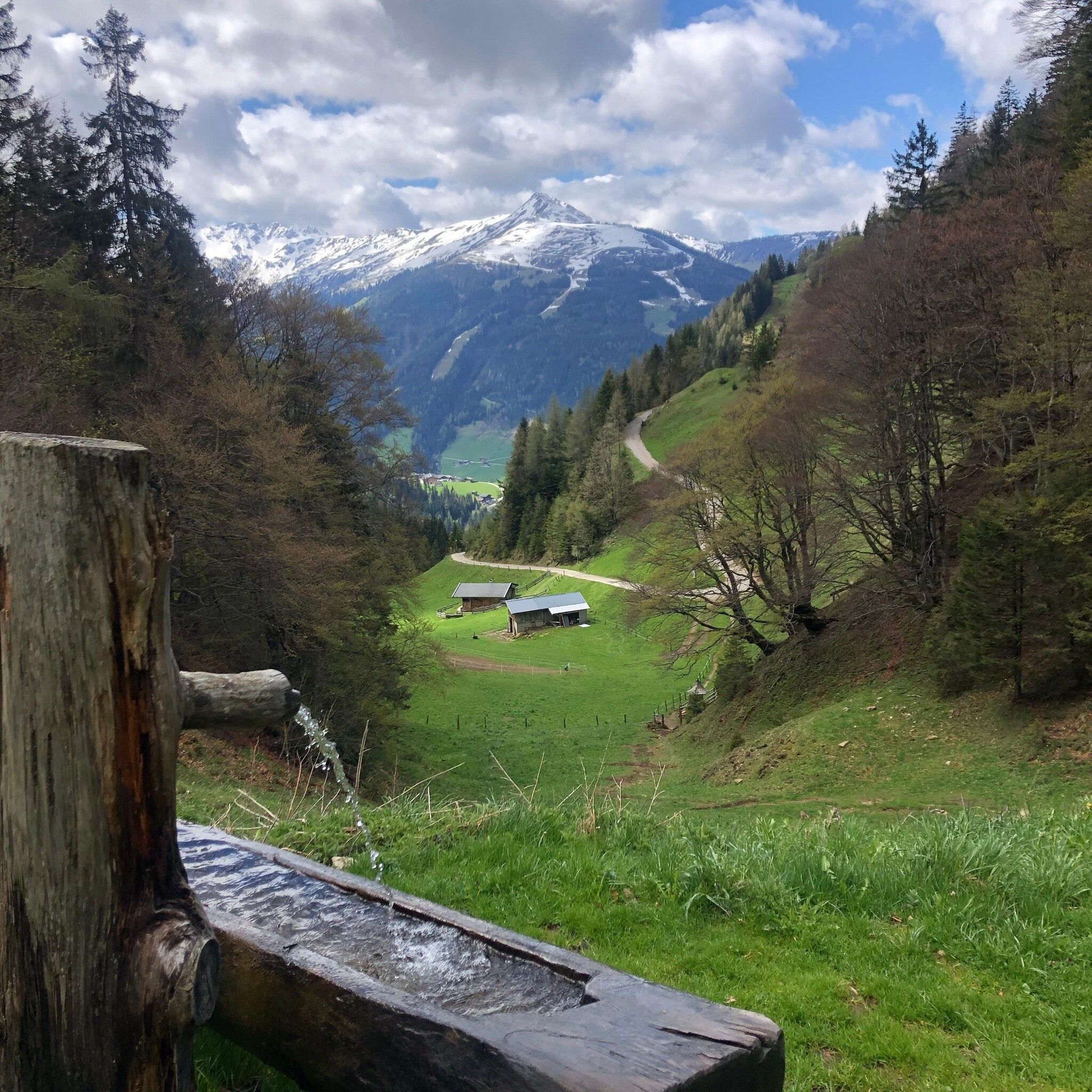
Scenic circular hike in Alpbach to the beautiful Hösl chapel and beautiful Alpbach alpine pastures.
Tour information

  • Requirement: medium
  • Length: 3.9 km
  • Duration: 1:30 h
  • Elevation uphill:240 hm
  • Elevation downhill:240 hm
Highest point1,510 m

Starting point

Thaler parking lot

Finishing point

Thaler parking lot
  • Fitness level 3 / 6

Best time of year

  • January
  • February
  • March
  • April
  • May
  • June
  • July
  • August
  • September
  • October
  • November
  • December

Equipment

sturdy footwear

bring a small snack and something to drink.

Source: Alpbachtal Tourismus

Description

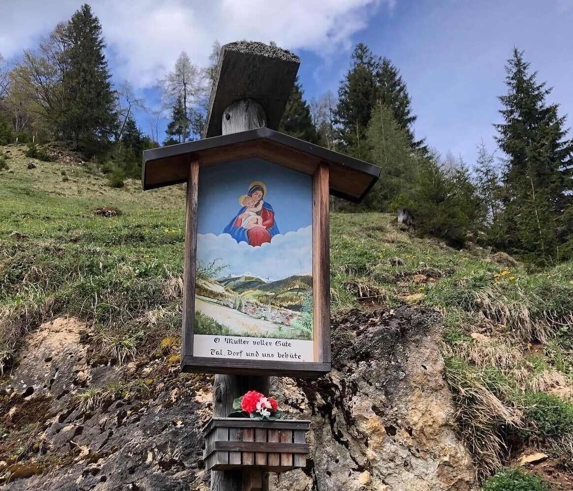
The Thaler parking lot is located directly above the Oberthaler snack station and is the ideal starting point for the leisurely hike, duration approx. 1.5 hours with a wonderful view. From the parking lot, straight ahead via Marienweg towards Hösljoch/Hösl chapel. After about 20 minutes’ walk, you reach the Hösl chapel and Hösljoch. To the right after the Hösl chapel the path leads up towards Höslalm. From there, follow the forest road to the right and at the next crossroads, go left downhill past Zottalm and follow the forest road back to the starting point.

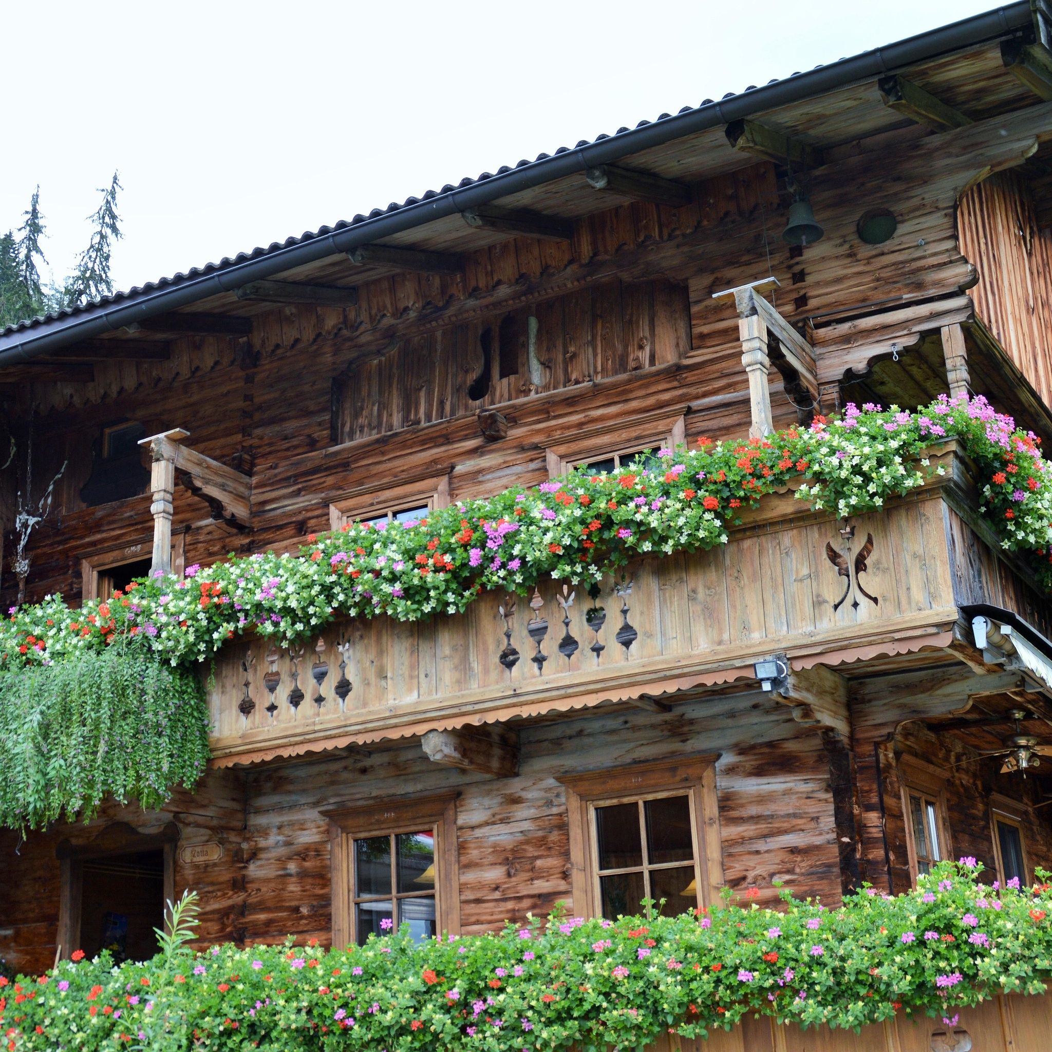
For a place to eat after the hike, the Oberthaler snack station or Zottahof in Alpbach is recommended.


Nearby huts and mountain restaurants

  • Zottahof

    Opening hours:Open today
    Place:Alpbach
    :Alpine pasture / hut / mountain restaurant
    see restaurant details: Zottahof

Getting here

  • Parking

    A12 motorway - towards Alpbach - towards the village - past Alphof and towards Zottahof to the Thaler parking lot
    Thaler parking lot (free)

Weather

Today

partly Cloudy
12°C/0°C
80%8l10 km/h

Sat

light rain showers
7°C/-1°C
60%2.4l5 km/h

Sun

light rain
12°C/0°C
80%6.4l5 km/h
Go to weather forecast

More tours in the surrounding area

  • Day 1: 4 days - 4 summits tour

    Difficulty:medium
    Length:9.8 kmDuration:5:00 hElevation uphill:984 m
  • Voldöpper Spitze Loop Hike

    Difficulty:medium
    Length:12.9 kmDuration:5:00 hElevation uphill:988 m
  • 3-peak-tour Kienberg-Plessenberg-Heuberg

    Difficulty:medium
    Length:8.6 kmDuration:4:30 hElevation uphill:779 m
  • Day 3: 4 days - 4 summits tour

    Difficulty:medium
    Length:19.3 kmDuration:8:00 hElevation uphill:1,371 m
  • Kaiser Gorge - loop trail

    Difficulty:easy
    Length:4.2 kmDuration:1:00 hElevation uphill:198 m
  • Barrier-free path Lake Reintal

    Difficulty:medium
    Length:7.0 kmDuration:1:45 hElevation uphill:15 m
  • 4 days - 4 summits tour

    Difficulty:medium
    Length:54.4 kmDuration:4 daysElevation uphill:3,408 m
  • Loop tour Juppi Zauberwald

    Difficulty:easy
    Length:2.5 kmDuration:1:00 hElevation uphill:93 m
  • 3-day Family Tour Alpbachtal

    Difficulty:easy
    Length:18.3 kmDuration:3 daysElevation uphill:998 m
  • Kundler Klamm

    Difficulty:easy
    Length:6.4 kmDuration:2:00 hElevation uphill:116 m
  • Farmkehralm 1.521 m

    Difficulty:medium
    Length:9.3 kmDuration:3:30 hElevation uphill:506 m
  • Rofan tour - stage 3

    Difficulty:difficult
    Length:11.8 kmDuration:7:30 hElevation uphill:1,150 m
Newsletter

The mountain is calling? So does our newsletter!

In our monthly newsletter we reveal the best holiday tips for Tyrol.