Multi-day hikes Die Alpenüberquerung (Stage 6)

Mayrhofen, Zillertal / Zillertal Alps
Difficulty ratings: medium
Route length: 13.2 km
Duration: 5:30 h

Mayrhofen – Schlegeisspeicher – Pfitscherjochhaus – Pfitsch

Tour information

  • Requirement: medium
  • Length: 13.2 km
  • Duration: 5:30 h
  • Elevation uphill:489 hm
  • Elevation downhill:824 hm
Highest point2,276 m

Best time of year

  • January
  • February
  • March
  • April
  • May
  • June
  • July
  • August
  • September
  • October
  • November
  • December

Trail condition

The stage begins in Mayrhofen and initially leads towards the Schlegeis Reservoir. This first section can either be completed comfortably by bus or, for more ambitious hikers, on foot via various hiking trails.

Upon reaching the Schlegeis Reservoir, the true alpine part of the stage begins. From the dam, the trail follows the valley, gradually ascending towards the Zamsgrund. The route runs along well-maintained paths through an impressive high-alpine landscape, offering views of glaciers and surrounding peaks.

After some time, you reach a small bridge crossing the Zamserbach stream. Continue further into the valley and then keep right to enter the Zamsgrund. From here, the trail continues steadily through increasingly alpine terrain.

The Pfitscherjochhaus is an ideal place to stop for a rest.

From there, the route descends towards the Pfitsch Valley. The descent follows well-developed paths through wide alpine pastures and increasingly gentle terrain until you finally reach the valley floor.

Source: Zillertal Tourismus GmbH

Description

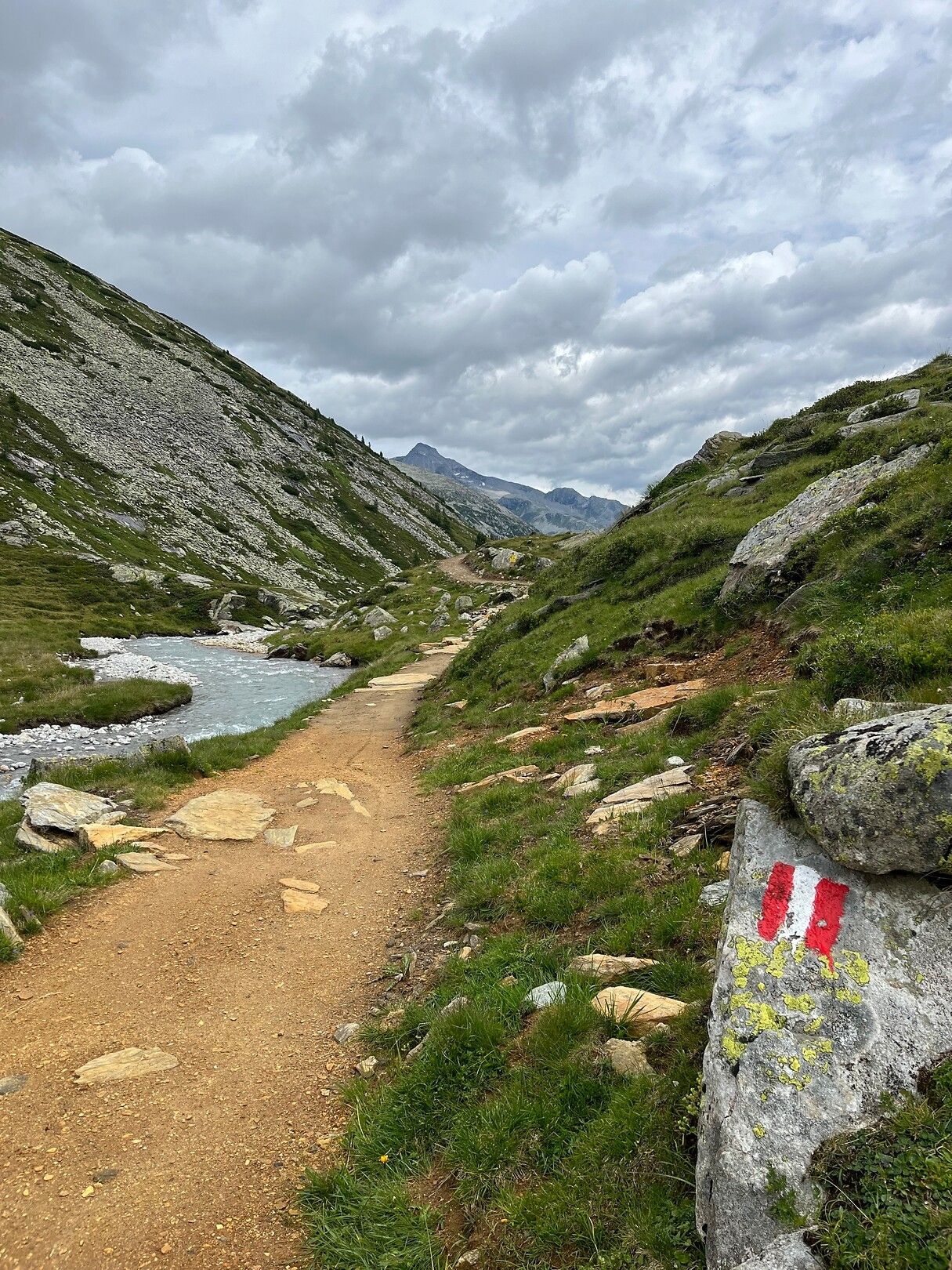
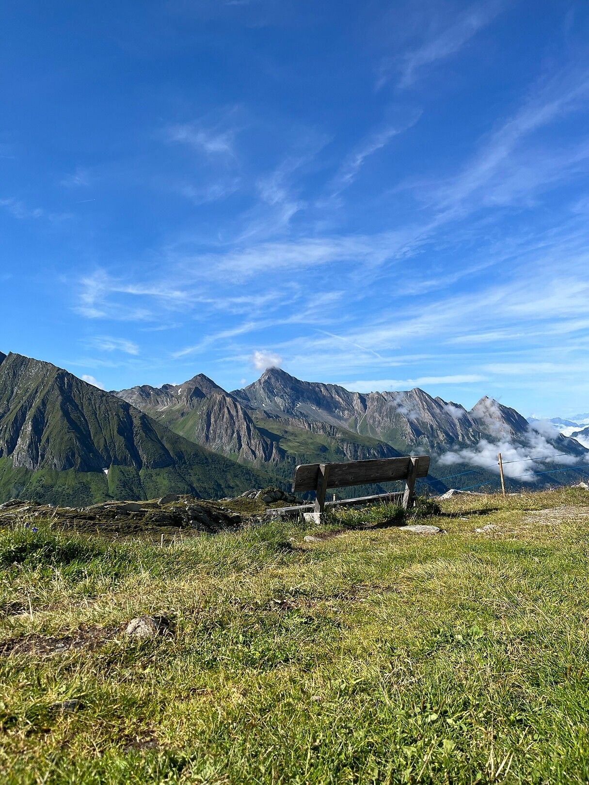
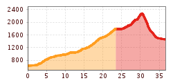
The stage begins in Mayrhofen and as indicated, can be reached either easily by bus to the Schlegeisspeicher reservoir or, for the more athletic, via hiking trails. From the Schlegeiss dam, the route continues into the valley to a small bridge that crosses the Zamserbach stream. After the bridge, the trail continues to the right into the Zamsgrund valley, continuing to the Italian border. Once there, you can take one last look at North Tyrol before the landscape opens up to the South Tyrolean mountains. From there, the trail leads downhill toward Pfitsch.

More tours in the surrounding area

Newsletter

The mountain is calling? So does our newsletter!

In our monthly newsletter we reveal the best holiday tips for Tyrol.