
Opening hours:Open today
Place:Obergurgl
:Restaurant
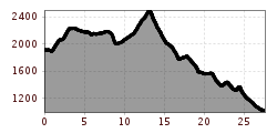
European long-distance hiking trail E5 – key stage – from Obergurgl to Moos in Passeier (alternative route)
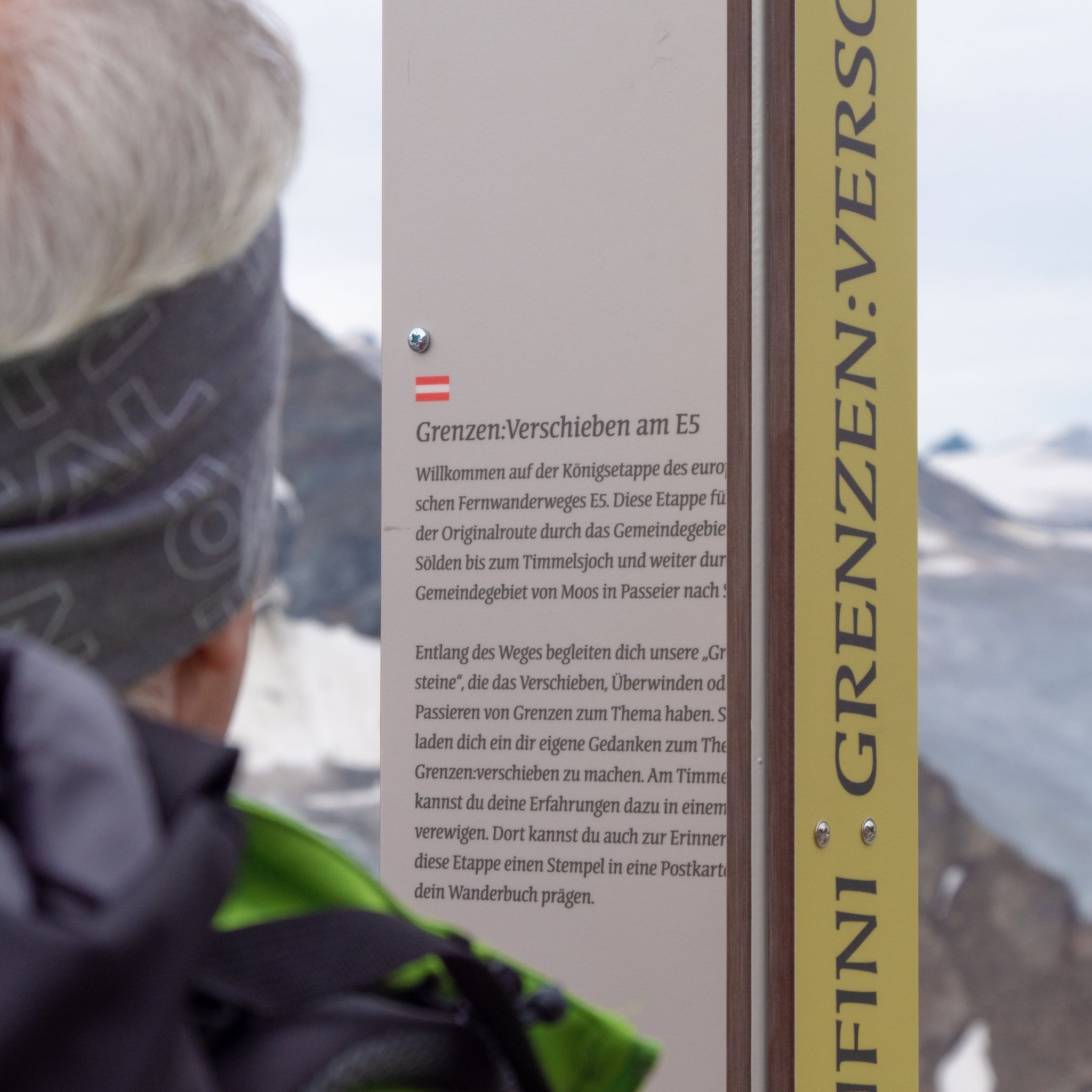
Obergurgl is the starting point of this alternative stage. Over beautiful alpine rose slopes, the path climbs evenly into the Königstal. From there, the path continues to Hochgurgl and past the Top Mountain Crosspoint, near the spectacular Timmelsjoch High Alpine Road to the Timmelsjoch (2,509 m). Upon arrival, there is an opportunity to record experiences in a hiking book. A special stamp allows you to keep lasting memories. For those interested, a visit to the Pass Museum and the new museal structure Timmel_Transit is also recommended here.
These museums, as well as the footbridge with a viewing platform, the smuggler sculpture, the telescope, and the garnet for the “Timmelsjoch Experience,” can be discovered along the Timmelsjoch High Alpine Road, which has existed for 50 years now.
From the Timmelsjoch, already within the Texelgruppe Nature Park, it becomes increasingly gentler and more extensive with the descending valleys, waterfalls, and streams of the picturesque Passeier Valley. Following the narrow path past livestock herds, one regularly encounters impressive stone walls that recall the former significance of the path for smugglers and herders. After passing through the picturesque village of Rabenstein, the path leads through the mostly narrow valley to Moos in Passeier.
Travel comfortably and safely by train to the Ötztal train station. The final stop or exit point is the ÖTZTAL station. Afterwards, you can conveniently and quickly continue with public bus services or local taxi companies throughout the valley to your desired destination. The current bus timetable is available at: fahrplan.vvt.at
The following parking options are available in Gurgl:


 neu.jpg")


")


 (1).jpg")

.jpg")

")


