
Opening hours:Today closed
Place:Umhausen
:Alpine pasture / hut / mountain restaurant
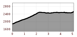
GEHSTEIGALM -> ERLANGER HUT


Moderate mountain path; suitable for sure-footed and experienced mountain hikers;
Good physical condition, mountain experience and equipment (see under equipment) necessary
Please observe the current weather report
Appropriate equipment such as breathable and weather-adapted outdoor clothing, ankle-high hiking boots, wind, rain and sun protection, hat and gloves is required for all hikes and routes. Carrying a first aid kit, a mobile phone and possibly a hiking map, as well as sufficient provisions for hikes without dining options is necessary.
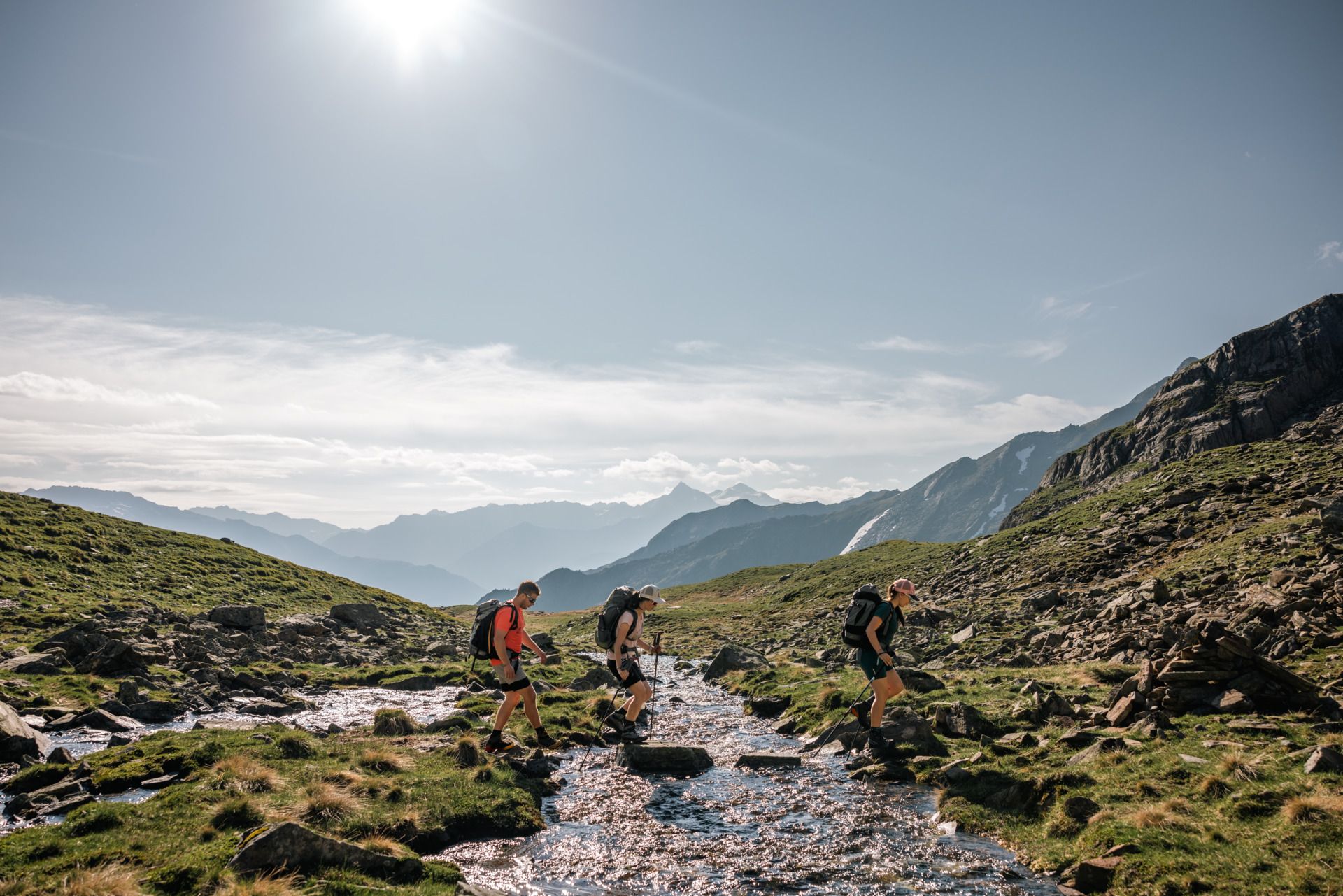
The starting point of this hike is the Gehsteigalm (not serviced) in Tumpen. From there, follow the narrow mountain path to the left, ascending through open alpine pasture terrain. Initially, the trail heads northeast, then at a fork you keep left, continuing on a gradually ascending traverse and crossing a wide gully into a mountain basin.
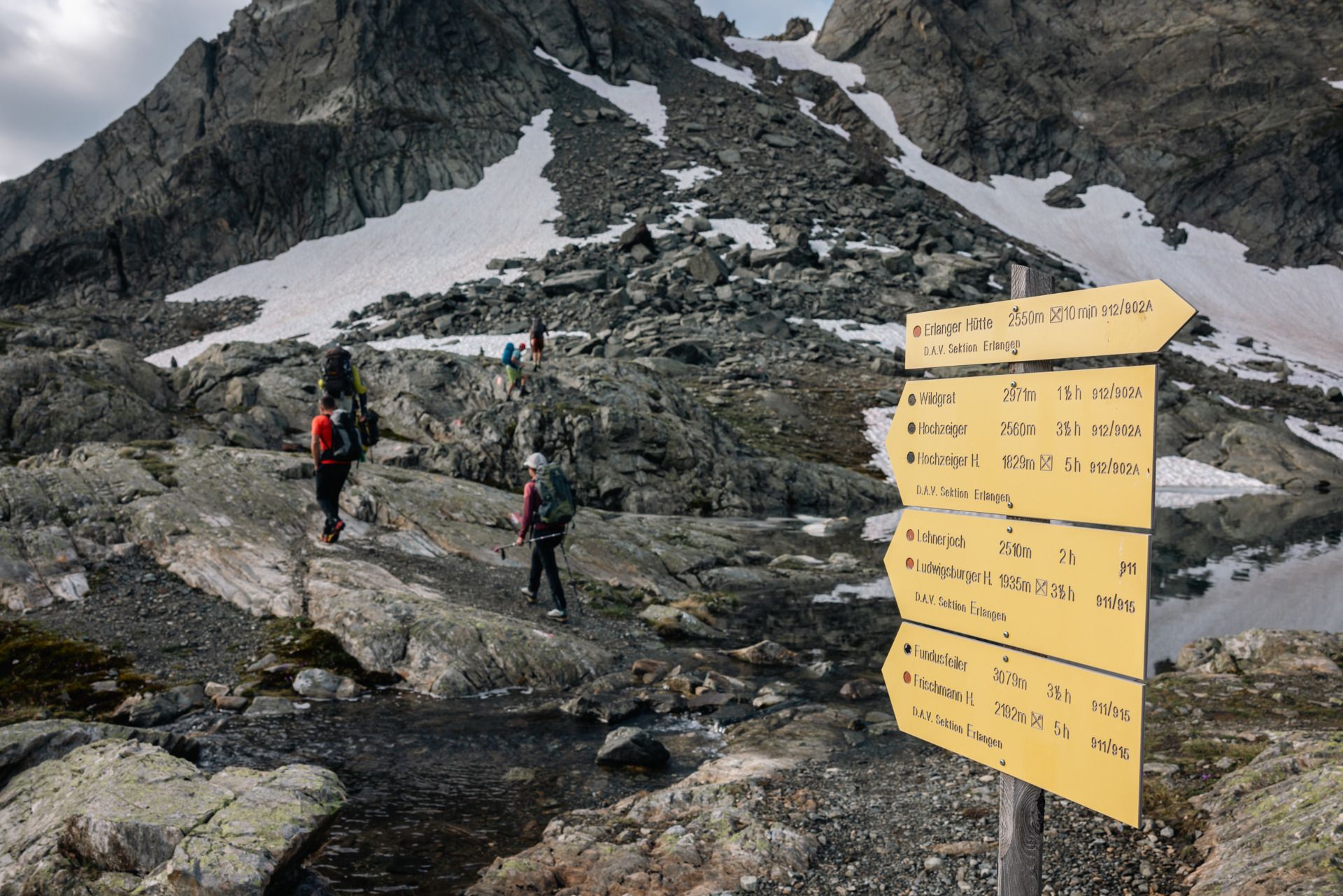
Beyond this, you soon reach the western ridge of the Kreuzjochspitze rising to the right. From here, you can already see the hut ahead of you, although it is still quite some distance away. The route now continues along a beautiful high-altitude trail, staying roughly at the same elevation.
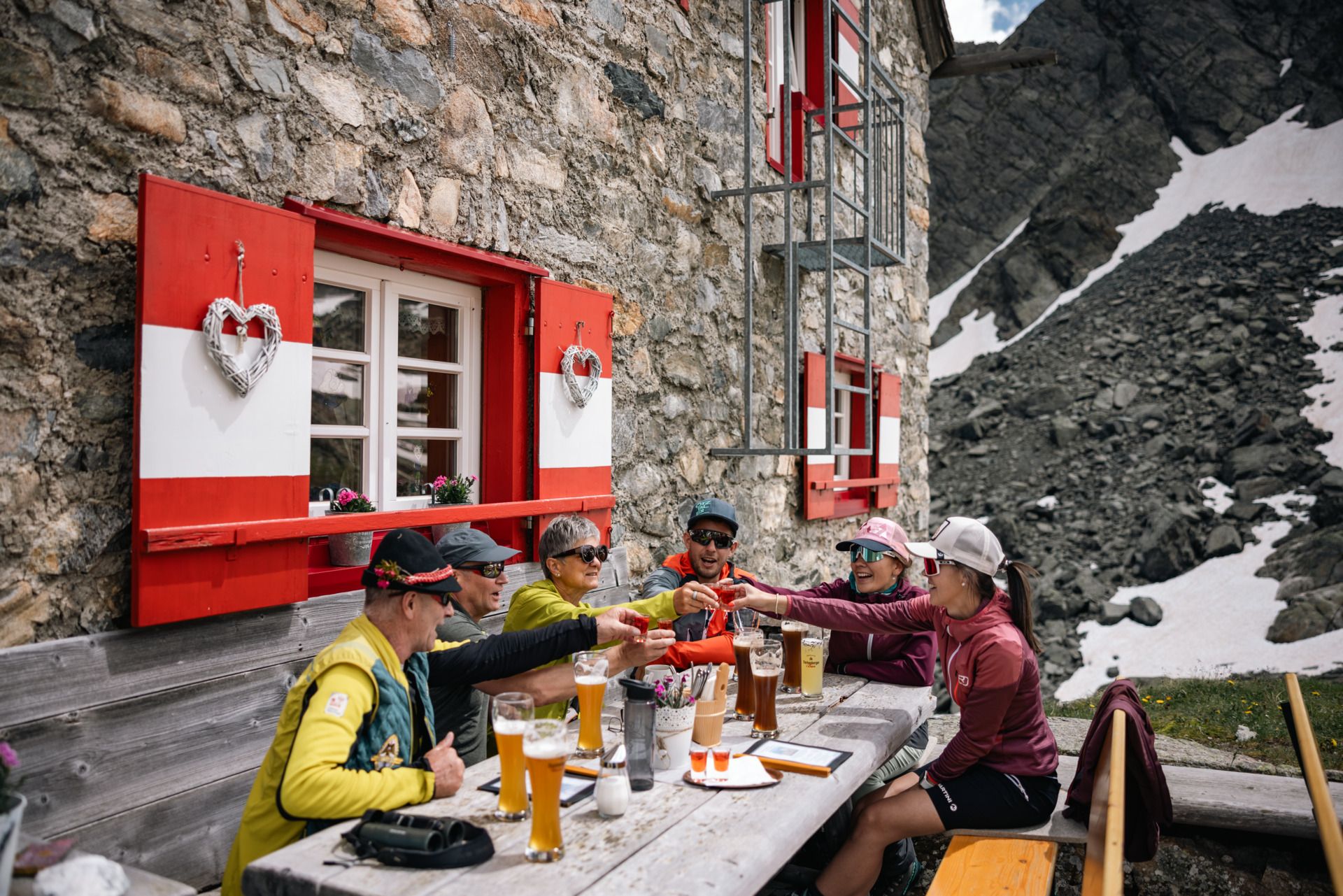
Towards the end, there is another short ascent, and just before the hut you have to overcome a rocky step, which has been secured with iron chains. Finally, the Erlanger Hut is reached, beautifully situated in a high alpine setting right next to Lake Wettersee.
Tip: Ride up to the Gehsteigalm with the hut taxi: Taxi Scharfetter, T +43 (0) 5255 5858
Travel comfortably and safely by train to the Ötztal train station. The final stop or exit point is ÖTZTAL station. Afterwards, you can travel comfortably and quickly through the entire valley to your desired destination using public transportation or local taxi companies.
The current bus schedule is available at: http://fahrplan.vvt.at
In Tumpen, the following parking options are available to you:


