Mountain hikes Glockhäuser from Lazid

Serfaus / Samnaungruppe
Difficulty ratings: medium
Route length: 8.3 km
Duration: 4:00 h

Glockhäuser from Lazid

Tour information

  • Requirement: medium
  • Length: 8.3 km
  • Duration: 4:00 h
  • Elevation uphill:480 hm
  • Elevation downhill:846 hm
Highest point2,621 m

Starting point

Lazid top station

Finishing point

Komperdell top station
Source: Serfaus-Fiss-Ladis

Description

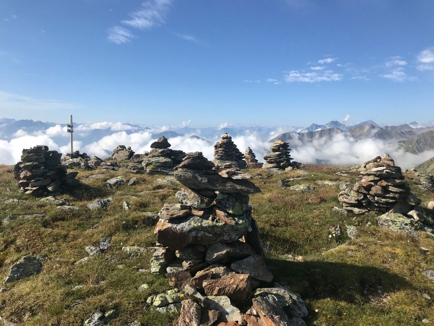
From the Lazidbahn top station (S301) on the vehicle track to the Scheid (S217). Behind the cable car station (S218) onto the Murmeltiersteig trail no. 25a, hike over the Kitzköpfl to the Furglersee
lake (S211). Just behind the lake (S209) veer off in a northwesterly direction via the Kanzel (trail no. 24) to the Obere Glockhäuser (S263).

Nearby huts and mountain restaurants

More tours in the surrounding area

  • Wild Animals Trail

    Opening hours: open
    Difficulty: easy
  • Marmot Trail

    Opening hours: open
    Difficulty: easy
    Length: 573 m Duration: 0:20 h Elevation uphill: 12 m
  • Hiking trail to the Frommes Alp

    Opening hours: open
    Difficulty: easy
    Length: 3.9 km Duration: 1:30 h Elevation uphill: 273 m
  • Forscherpfad

    Opening hours: open
    Difficulty: easy
    Length: 3.4 km Duration: 1:30 h Elevation uphill: 219 m
  • Murmeltiersteig (Marmot alpine trail)

    Opening hours: open
    Difficulty: medium
    Length: 6.9 km Duration: 3:00 h Elevation uphill: 302 m
  • Six Senses trail

    Opening hours: open
    Difficulty: easy
    Length: 6.5 km Duration: 4:00 h Elevation uphill: 99 m
  • Six Senses trail

    Opening hours: open
    Difficulty: easy
    Length: 5.7 km Duration: 4:00 h
Newsletter

The mountain is calling? So does our newsletter!

In our monthly newsletter we reveal the best holiday tips for Tyrol.