
Opening hours:Open today
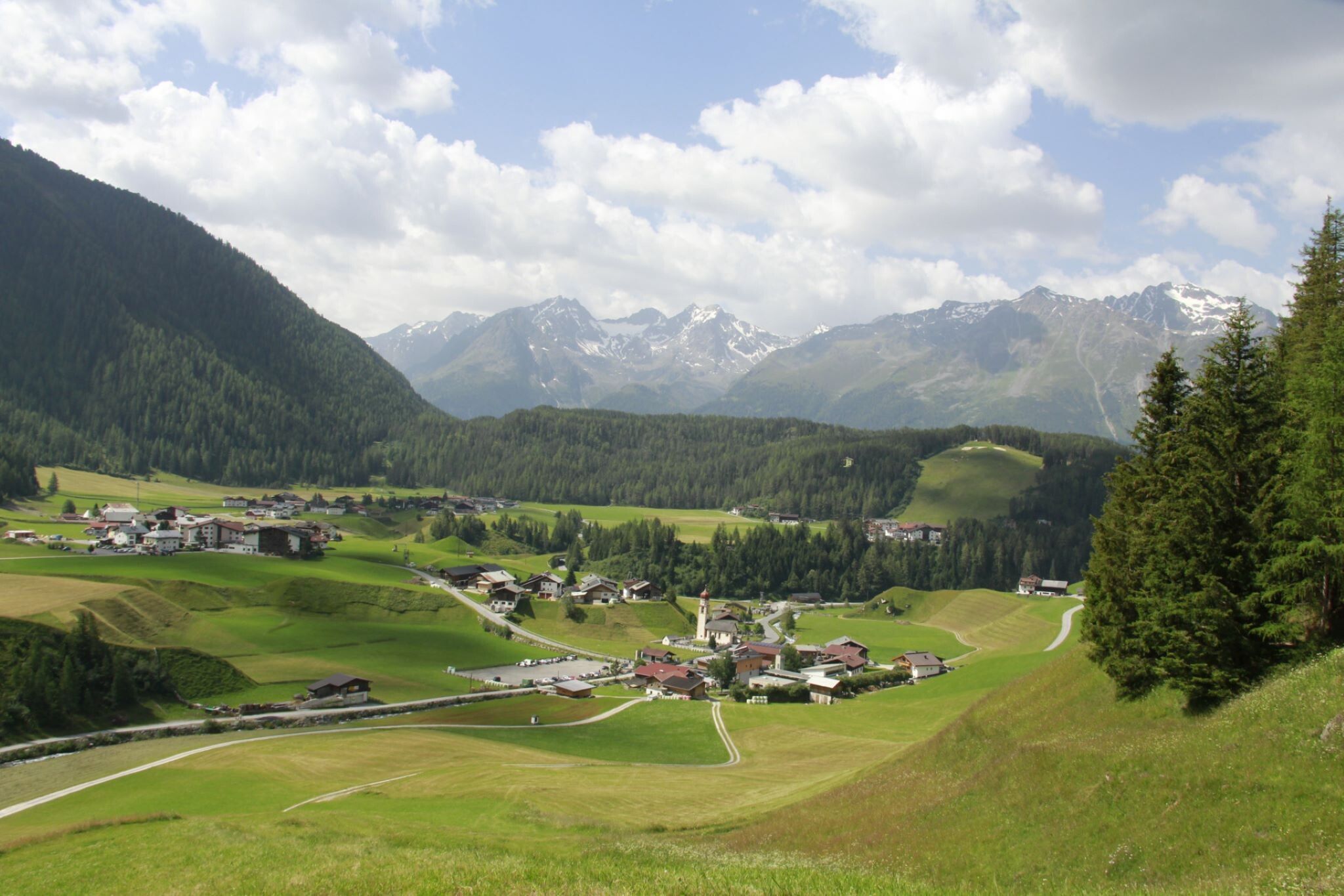
Place:Niederthai
:Restaurant
SENNHOFF PARKING LOT->Hotel Falknerhof->Grastal->GRASTALSEE
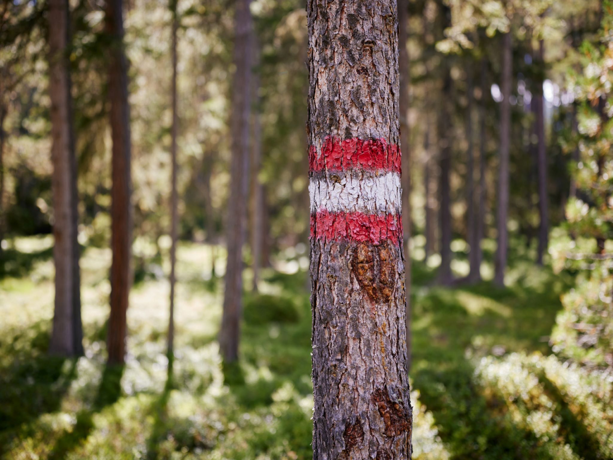
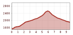
Moderate mountain path; suitable for sure-footed and experienced mountain hikers;
Good physical condition, mountain experience and mountain equipment (see Equipment) necessary
Please observe the current weather report
Appropriate equipment such as breathable and weather-appropriate outdoor clothing, ankle-high hiking boots, wind, rain and sun protection, a hat, and possibly gloves, is required for all hikes and routes. Carrying a first aid kit, a mobile phone, and possibly a hiking map, as well as sufficient provisions for hikes without dining options, is necessary.
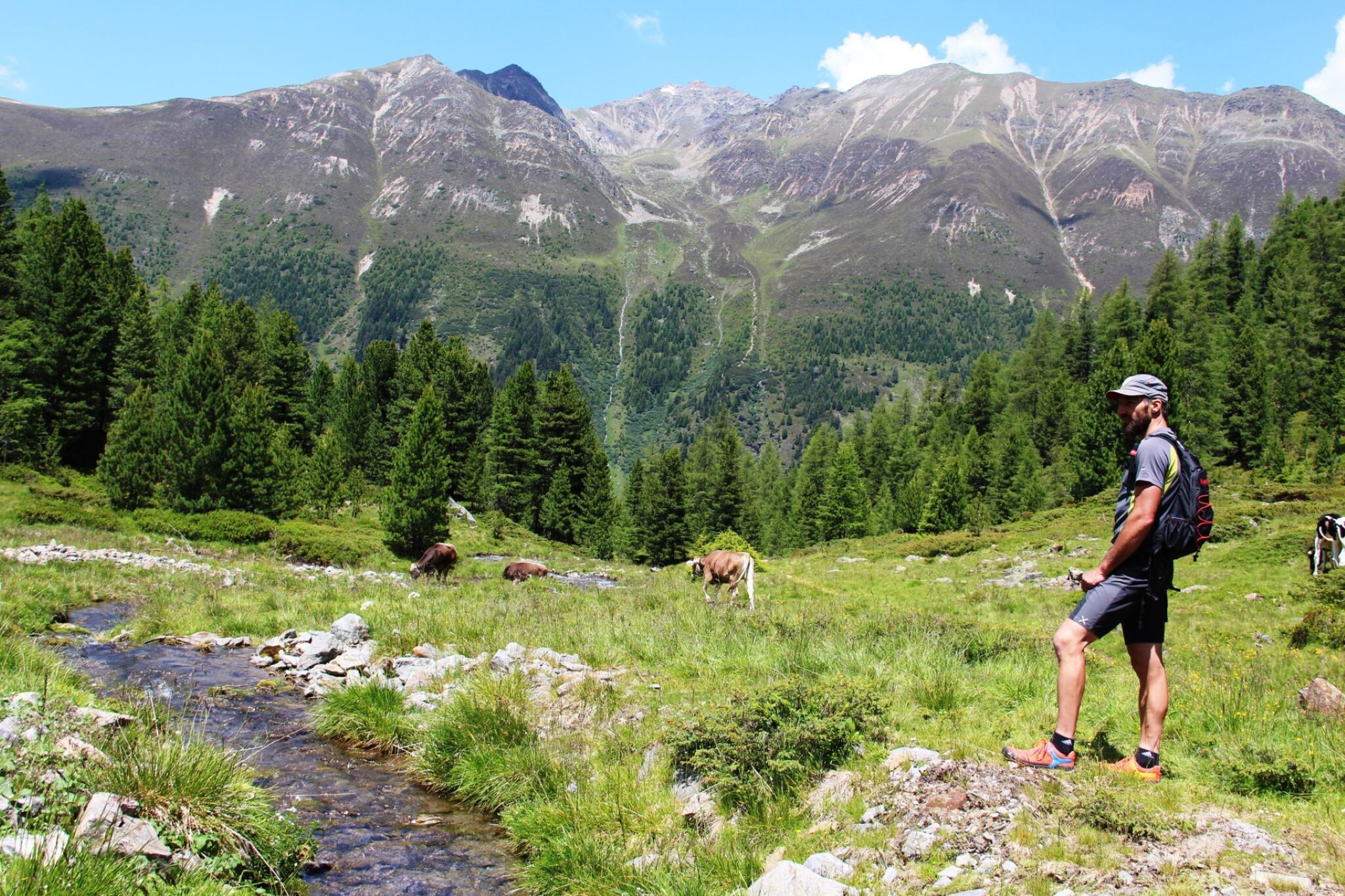
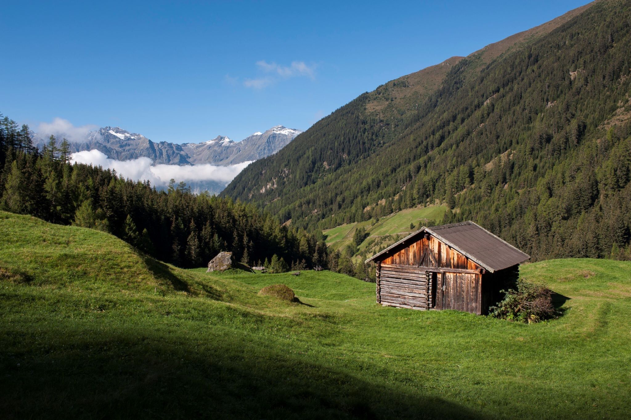
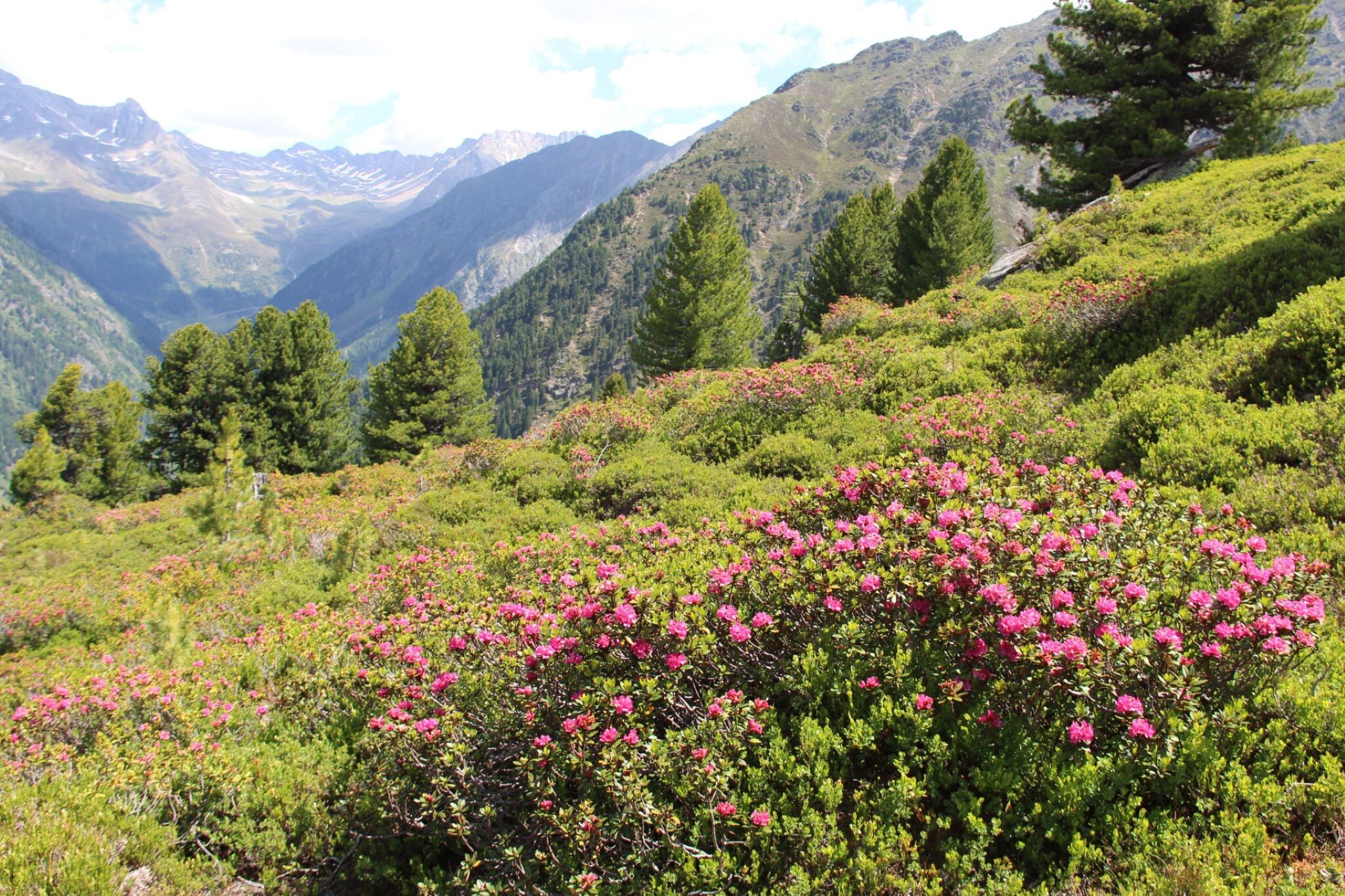
The hike starts at the Sennhof parking lot (next to the information) in Niederthai. From there, follow the road uphill to the left until you reach the Hotel Falknerhof. Turn left at Hotel Falknerhof and walk along the wide Grastal path towards Grastalfeld. The path narrows at the last section and goes uphill to the right. Continue on the narrow hiking trail through the wide Grastal towards Grastalsee. The last ascent to Grastalsee is a bit steeper. The lake invites you to linger.
Travel comfortably and safely by train to the Ötztal train station. The final stop or exit point is the ÖTZTAL station. Afterwards, travel conveniently and quickly by public transport or local taxi services through the entire valley to your desired destination.
The current bus schedule is available at: http://fahrplan.vvt.at
In Niederthai, the following parking options are available to you:


