
Opening hours:Today closed
Place:
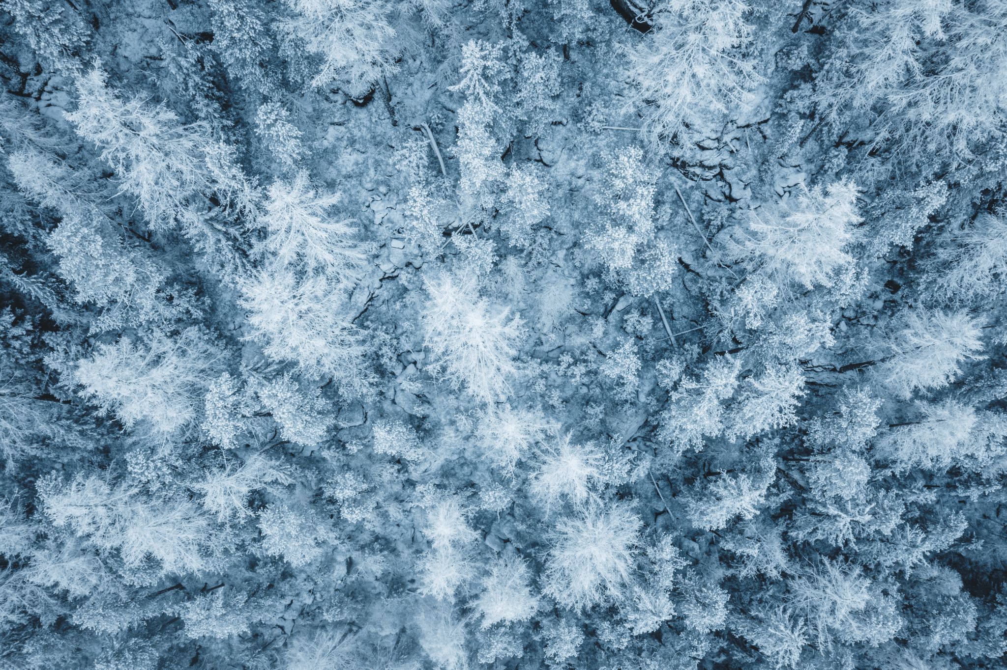
Niederthai
:
Restaurant
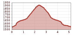
SENNHOF CAR PARK->Grastalweg->Hunting Lodge->SENNHOF CAR PARK
Please note the current snow and avalanche situation report for the coming days:
https://www.oetztal.com/de/winter.html & https://lawinen.report/bulletin/latest
The Ötztal Tourism team is happy to inform you personally about the condition of the winter hiking trails.
Ötztal Tourism, T +43 5 72 00 300, umhausen@oetztal.com
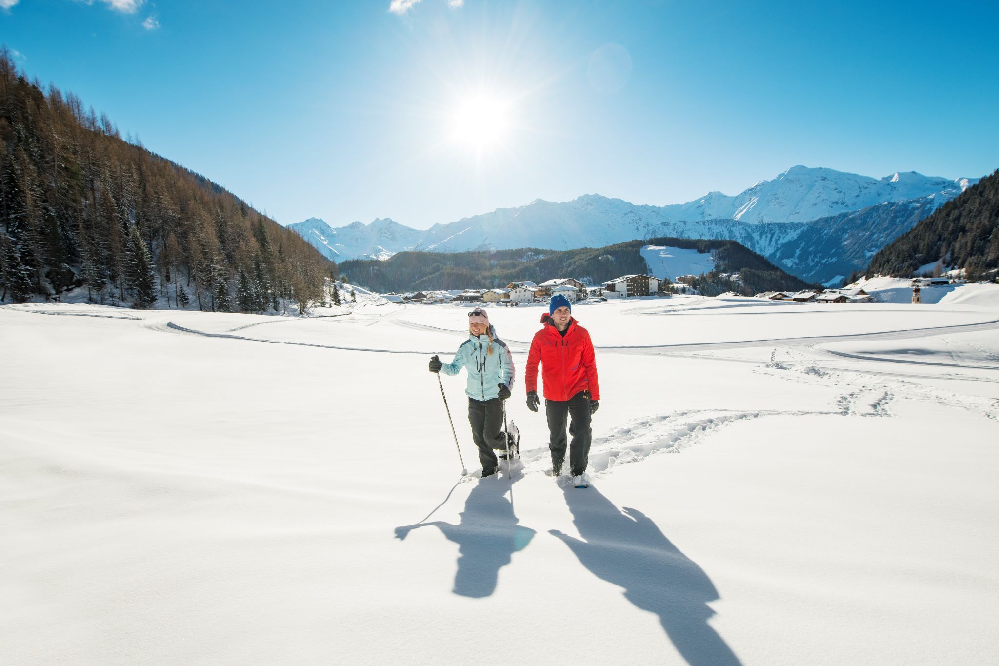
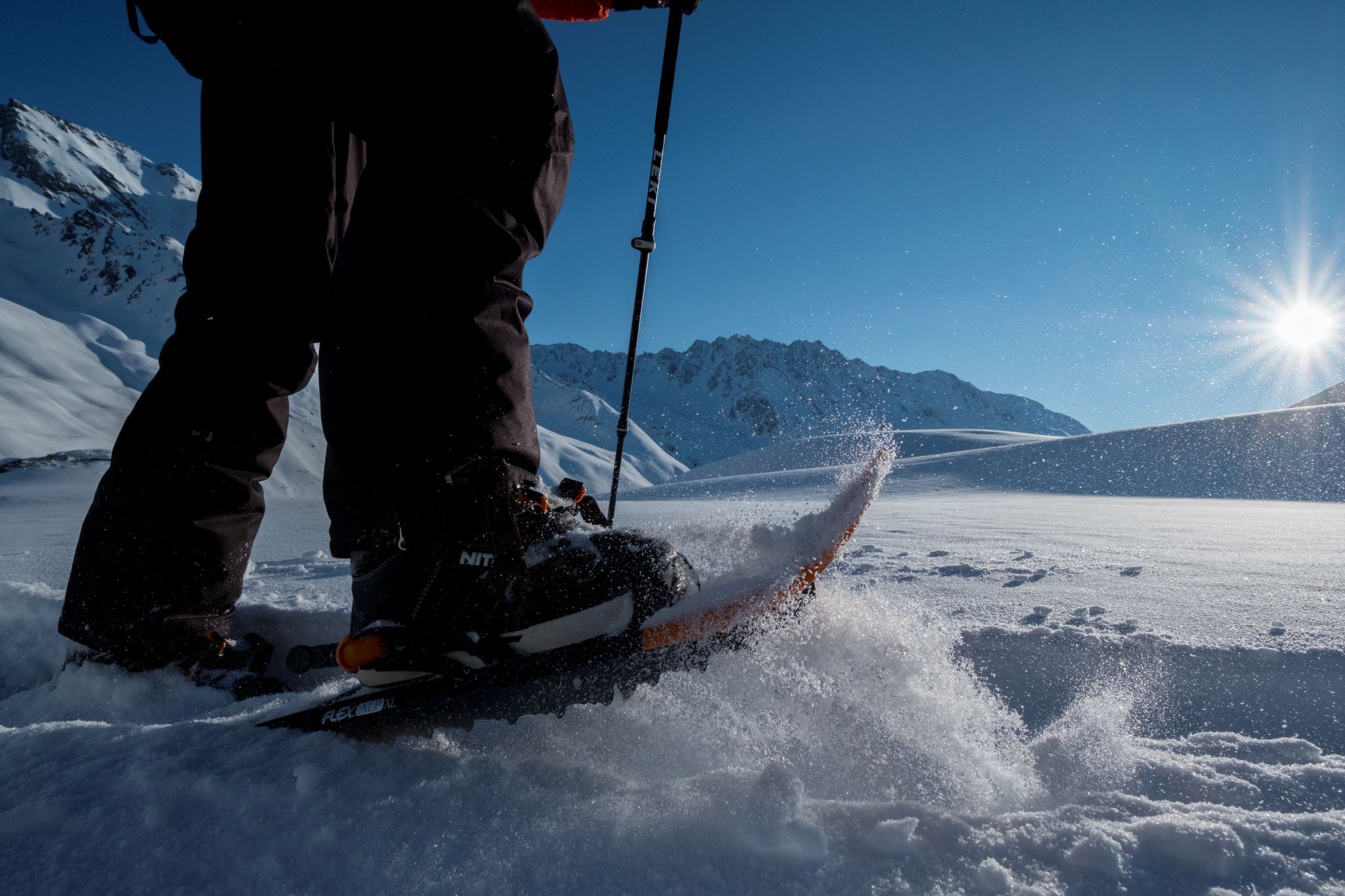
Appropriate equipment such as breathable and weather-adapted outdoor clothing, wind, rain, snow and sun protection, hat and gloves is required for all hikes and routes. Carrying a first aid kit, a mobile phone, and possibly a tour map as well as sufficient provisions is necessary, especially on tours without opportunities to stop for refreshments.
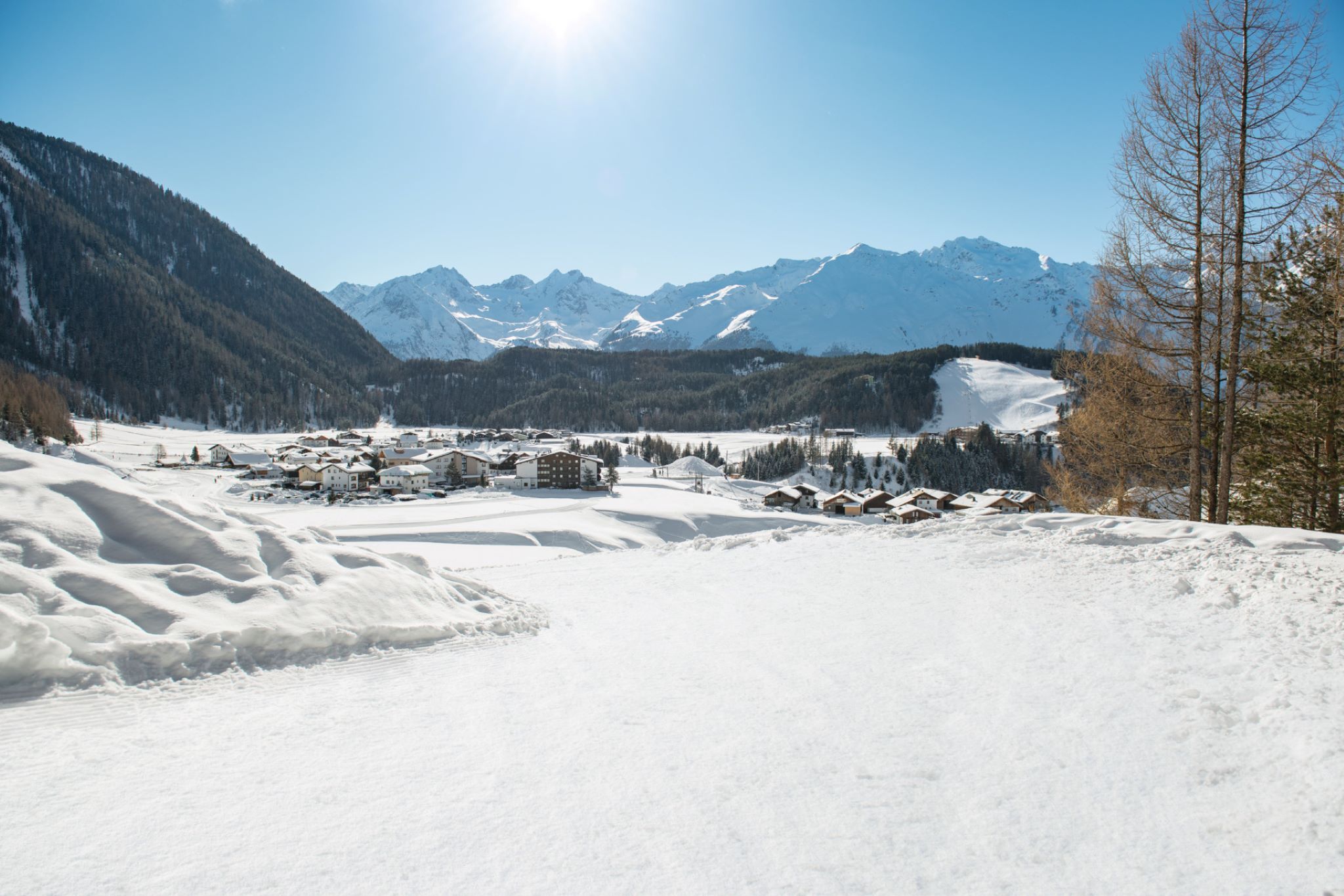
From the Sennhof car park (next to the information center), follow the wide winter hiking trail towards Hotel Falknerhof until you reach the Grastalweg, which then leads left into the Horlachtal. Follow the Grastalweg until you reach the Grastalsee junction (shortcut!). Now climb the initially steep tracked path used by ski tourers into the Grastal towards Grastalsee (signposted!). If this is too steep, you can continue hiking on the normal path to the Grastalfeld and then ascend right via the forest road into the Grastal. Via the shortcut, you return after 20 minutes of walking to the wide driveway – this then continues uphill to the hunting lodge. Then descend back to the Grastalfeld via the normal forest road and hike back to Niederthai.
Travel comfortably and safely by train to the Ötztal train station. The final stop or exit point is the ÖTZTAL train station. Afterwards, you can conveniently and quickly travel through the entire valley to your desired destination by public transportation or local taxi companies! The current bus timetable is available at: http://fahrplan.vvt.at
Sennhof Parking Lot
The parking lot is subject to fees from 7:00 am to 6:30 pm and is operated year-round.


")
