Mountain hikes Gratwanderung

Fiss / Samnaungruppe
Difficulty ratings: medium
Route length: 6.6 km
Duration: 4:30 h

Mountain tour with splendid views of the surrounding peaks.

Tour information

  • Requirement: medium
  • Length: 6.6 km
  • Duration: 4:30 h
  • Elevation uphill:863 hm
  • Elevation downhill:410 hm
Highest point2,657 m

Starting point

Komperdell top station

Finishing point

Schönjochbahn top station (Fisser Joch)
Source: Serfaus-Fiss-Ladis

Description

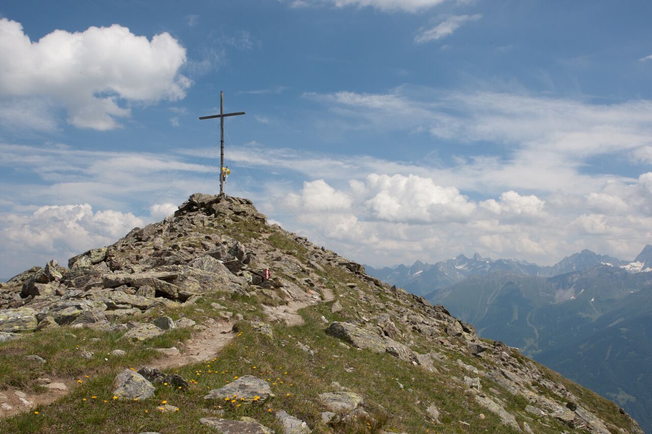
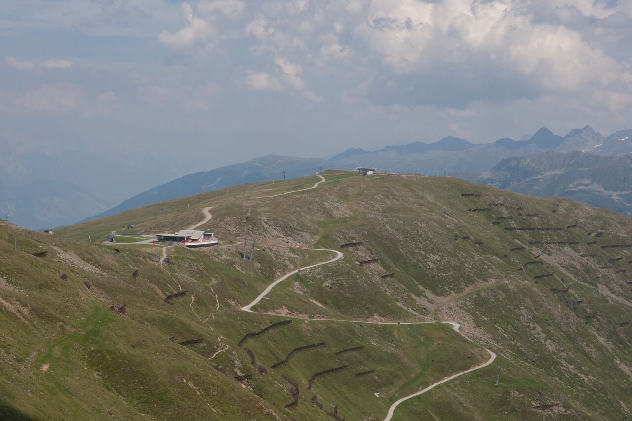
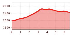
From the Vorderer Brunnenkopf (S255, see trail 20a) over the hinterer Sattelkopf to the Oberer Sattelkopf (F110). Further eastwards on trail no. 23 under the Zwölferkopf to the Fisser Joch (Schönjochbahn top station).

Nearby huts and mountain restaurants

More tours in the surrounding area

  • Six Senses trail

    Opening hours: open
    Difficulty: easy
    Length: 6.5 km Duration: 4:00 h Elevation uphill: 99 m
  • Six Senses trail

    Opening hours: open
    Difficulty: easy
    Length: 5.7 km Duration: 4:00 h
  • Wild Animals Trail

    Opening hours: open
    Difficulty: easy
  • Marmot Trail

    Opening hours: open
    Difficulty: easy
    Length: 573 m Duration: 0:20 h Elevation uphill: 12 m
  • Forscherpfad

    Opening hours: open
    Difficulty: easy
    Length: 3.4 km Duration: 1:30 h Elevation uphill: 219 m
  • Murmeltiersteig (Marmot alpine trail)

    Opening hours: open
    Difficulty: medium
    Length: 6.9 km Duration: 3:00 h Elevation uphill: 302 m
  • Hiking trail to the Frommes Alp

    Opening hours: open
    Difficulty: easy
    Length: 3.9 km Duration: 1:30 h Elevation uphill: 273 m
Newsletter

The mountain is calling? So does our newsletter!

In our monthly newsletter we reveal the best holiday tips for Tyrol.