
Opening hours:Open today
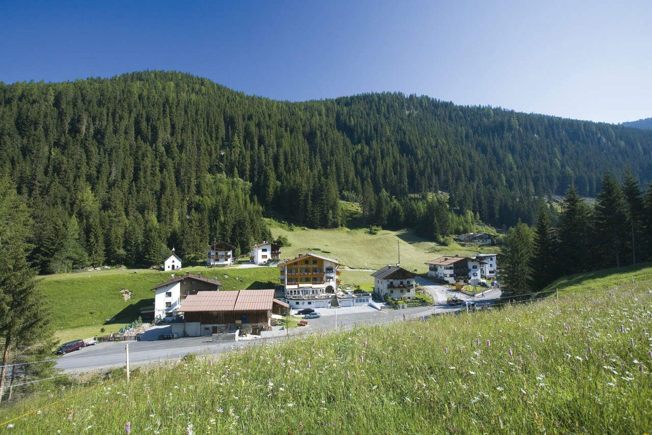
Place:Oetz
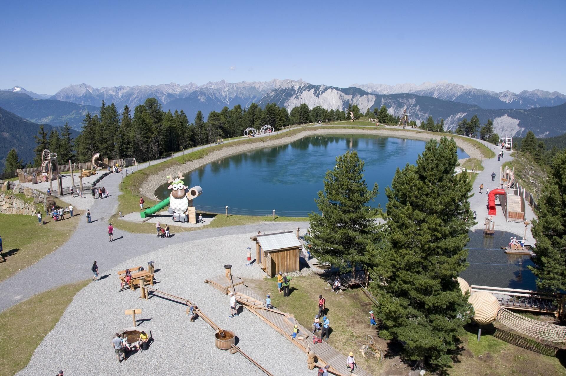
:Restaurant, Alpine pasture / hut / mountain restaurant
PANORAMIC RESTAURANT HOCHOETZ -> OCHSENGARTEN
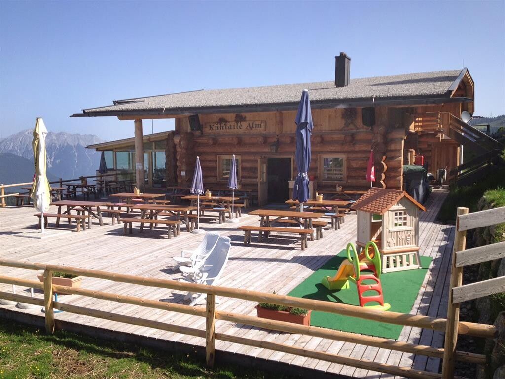
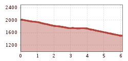
From the Panoramic Restaurant Hochoetz, hike down to the left towards Kühtaile Alm. Keep to the left, pass the "old Kühtaile Alm" and stay on the wide forest track. This winds through the forest down to Ochsengarten. There are shortcut options along the way, all of which are relatively steep, while the wide forest road descends more gently towards Ochsengarten.
The path leaves the forest at the beginning of Ochsengarten, at the valley station of the Ochsengarten gondola lift.
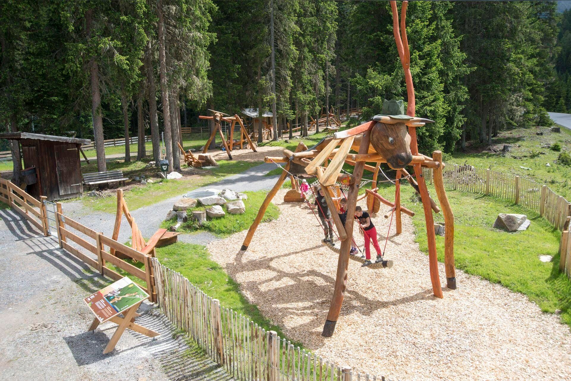
If you always stay on the wide forest track, the path is also suitable for a stroller.
Travel comfortably and safely by train to the Ötztal station. The final stop or exit point is the ÖTZTAL station. Then you can conveniently and quickly travel through the entire valley to your desired destination by public transport or local taxi companies! The current bus schedule is available at: fahrplan.vvt.at
The following parking options are available in Ochsengarten:


")


