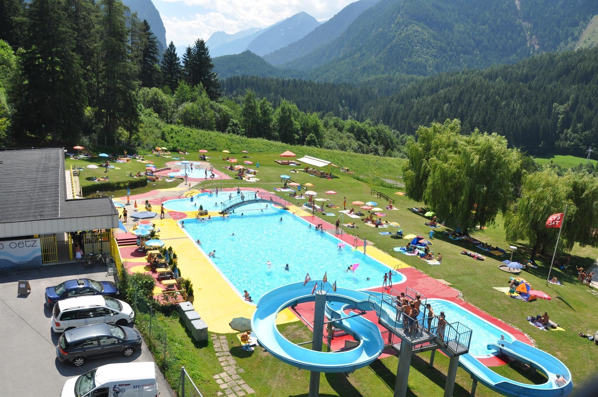
Mountain hikes Hochoetz - valley walk via Stufenreich to Oetz

Oetz / Stubaier Alpen
Difficulty ratings: medium
Route length: 9.8 km
Duration: 2:30 h

PANORAMA RESTAURANT HOCHOETZ -> Stufenreich -> Schlatt -> Klingenburg -> OETZ

Tour information

  • Requirement: medium
  • Length: 9.8 km
  • Duration: 2:30 h
  • Elevation uphill:84 hm
  • Elevation downhill:1,200 hm
Highest point2,020 m

Starting point

Panorama restaurant Hochoetz

Finishing point

Oetz
  • Fitness level 3 / 6

Best time of year

  • January
  • February
  • March
  • April
  • May
  • June
  • July
  • August
  • September
  • October
  • November
  • December

Equipment

Moderate mountain trail; suitable for sure-footed and experienced mountain hikers; good physical condition, mountain experience, and mountain equipment (see equipment) are necessary. Please check the current weather report at: www.oetztal.com/de/sommer.html Appropriate equipment such as breathable and weather-adapted outdoor clothing, ankle-high hiking shoes, wind, rain and sun protection, a hat, and possibly gloves are required for all hikes and routes. Carrying a first aid kit, a mobile phone, and possibly a hiking map, as well as sufficient provisions for hikes without dining options, is necessary. 
Source: Ötztal

Description

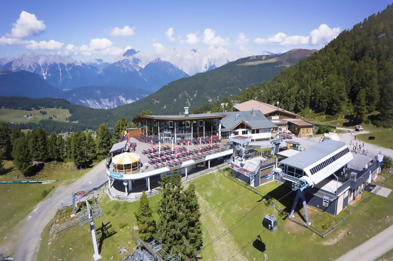
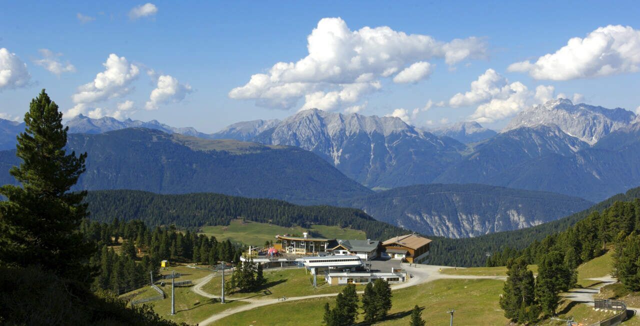
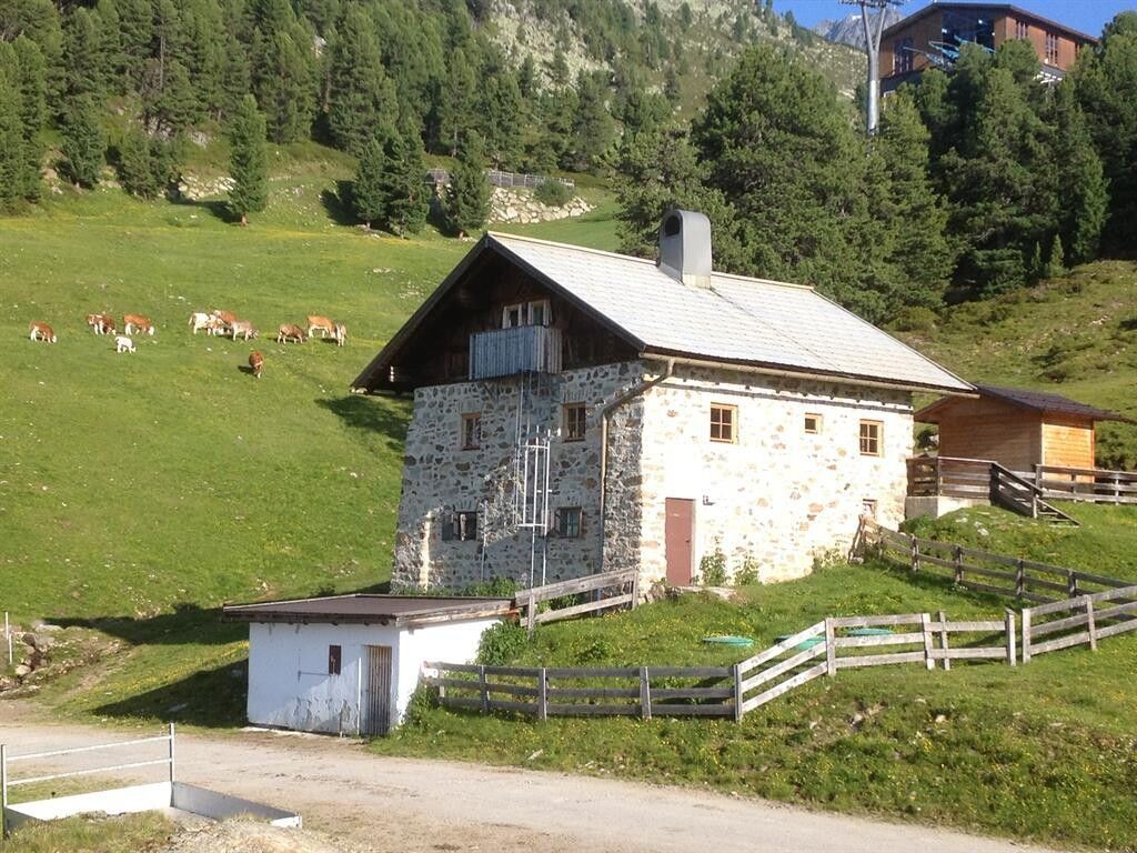
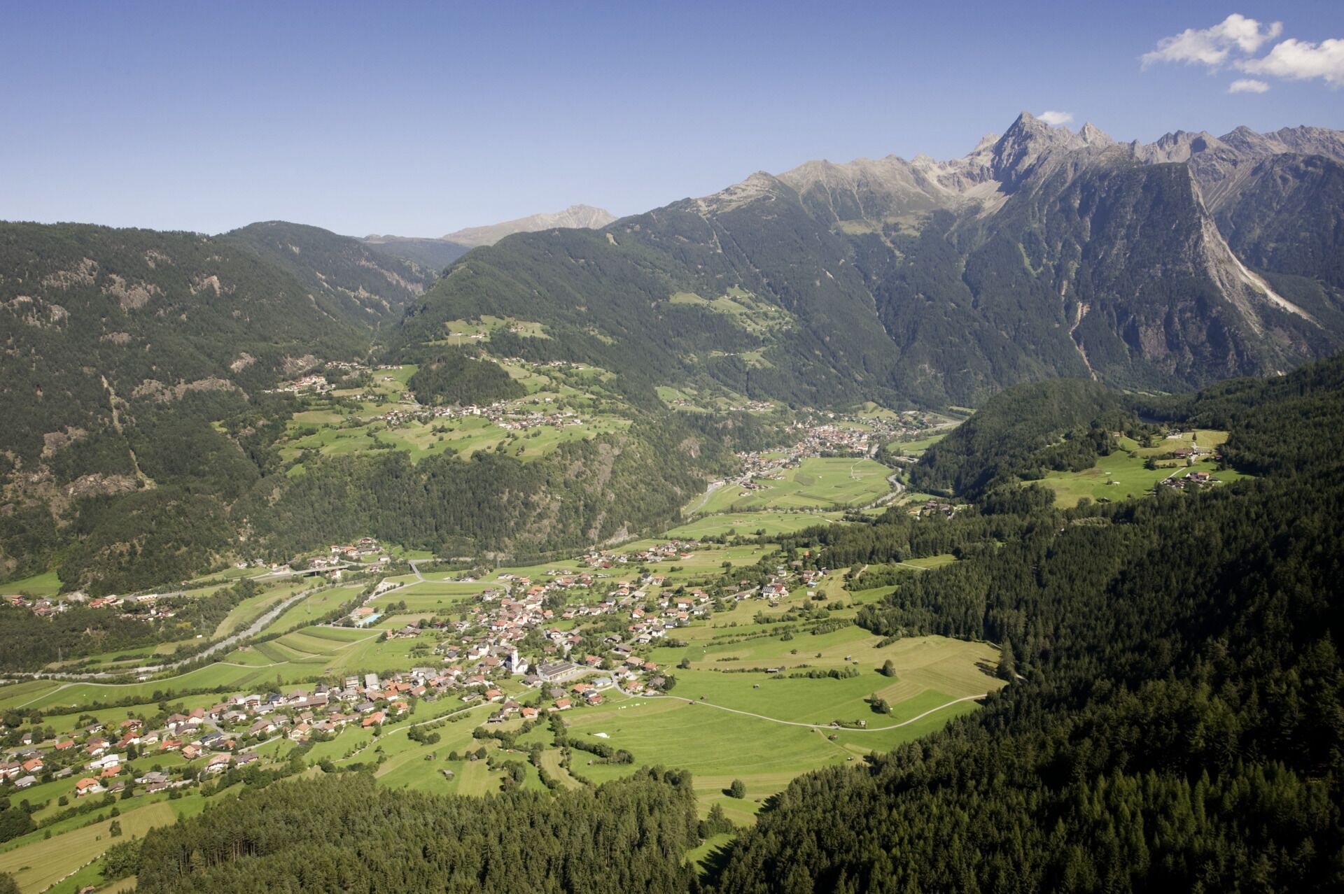
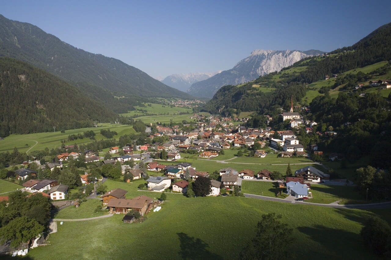
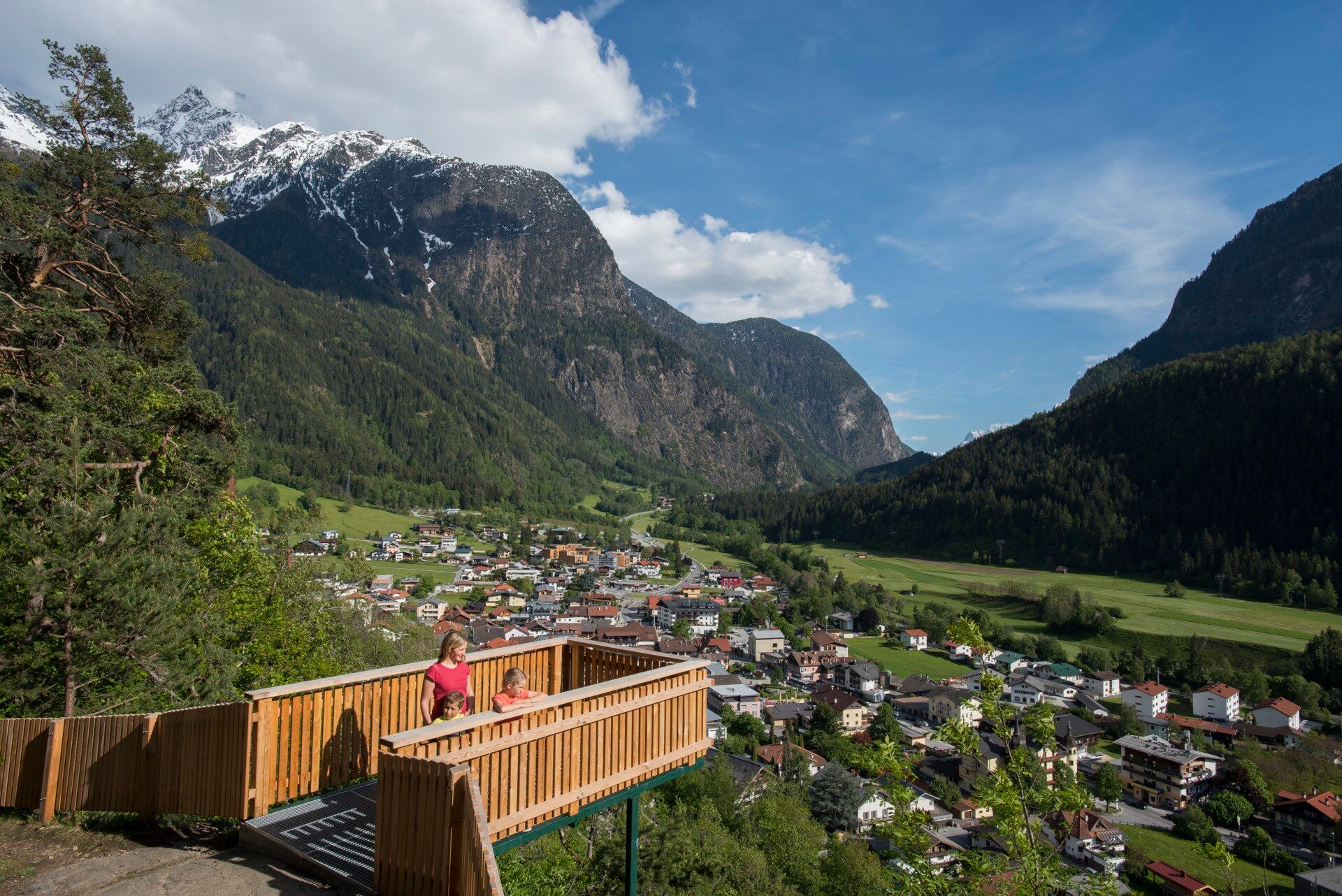
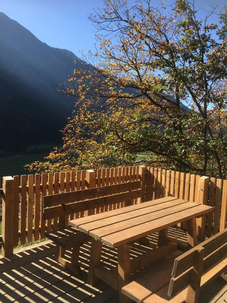
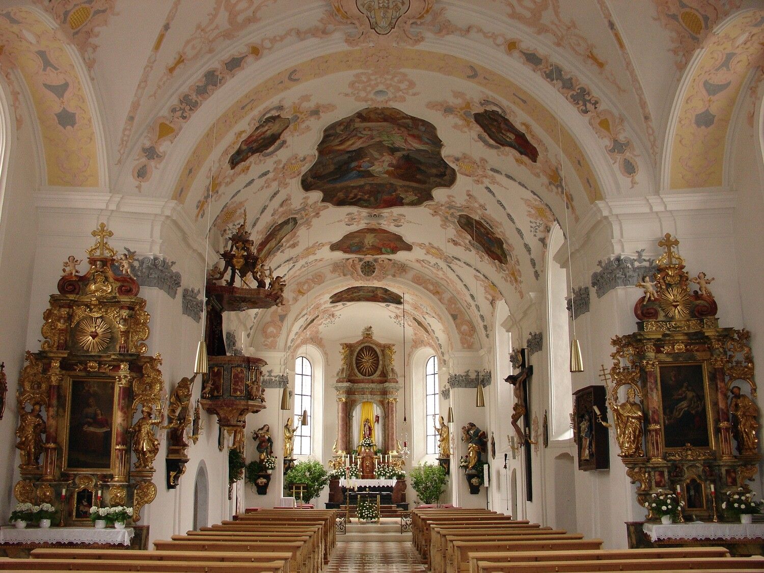
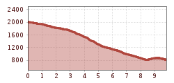
From the Hochoetz mountain station, walk down to the left to the old Kühtaile Alm (not operated). Past the Alm, continue steadily downhill through the forest on the wide forest road. After a double hairpin turn, the steep hiking trail to Stufenreich branches off to the left. In Stufenreich, walk over the meadows further to Klingenburg. Below Klingenburg, you reach the vantage point "Hexenplatte" leading to the parish church. Then follow the stations of the cross trail to the right to the Kalvarienberg chapel. There you reach a wide forest road again and stroll comfortably down to the valley station of the gondola lift. 

On the route from Hochoetz to Oetz, you cover 1,200 meters of elevation; good hiking shoes and hiking poles are recommended!


Nearby huts and mountain restaurants

Getting here

  • Arrival by public transport

    Travel comfortably and safely by train to the Ötztal train station. The final stop and exit point is the ÖTZTAL station. Afterwards, you can conveniently and quickly travel through the entire valley to your desired destination via public transport or local taxi companies! The current bus schedule is available at: http://fahrplan.vvt.at

  • Parking

    The following parking options are available:

    • Parking lot at Acherkogelbahn (fee required)
    • Parking lot at rafting entry point (at the end of the village of Oetz on the right side) (fee required)
    • Central parking in Oetz (fee required)
    • Overnight parking during multi-day routes: central parking in Oetz, tickets are available at the Oetz information office.

More tours in the surrounding area

  • Ötztal Trek Stage 6

    Difficulty: difficult
    Length: 7.6 km Duration: 3:30 h Elevation uphill: 640 m
  • Ötztal Trek Stage 8

    Difficulty: difficult
    Length: 9.3 km Duration: 3:30 h Elevation uphill: 274 m
  • Ötztal Trek Stage 17

    Difficulty: difficult
    Length: 16.4 km Duration: 6:00 h Elevation uphill: 1,080 m
  • Ötztal Trek Stage 16

    Difficulty: difficult
    Length: 6.9 km Duration: 2:30 h Elevation uphill: 358 m
  • Ötztal Trek Stage 20

    Opening hours: closed
    Difficulty: medium
    Length: 6.4 km Duration: 3:00 h Elevation uphill: 610 m
  • Ötztal Trek Stage 5

    Difficulty: difficult
    Length: 8.1 km Duration: 3:30 h Elevation uphill: 1,125 m
  • Winter hiking trail Rotes Wandl - No. 431

    Opening hours: closed
    Difficulty: easy
    Length: 1.5 km Duration: 0:45 h Elevation uphill: 52 m
  • Ötztal Trek Stage 4

    Difficulty: difficult
    Length: 8.9 km Duration: 4:00 h Elevation uphill: 802 m
  • Ötztal Trek Stage 3

    Difficulty: difficult
    Length: 10.4 km Duration: 4:00 h Elevation uphill: 842 m
  • Ötztal Trek Stage 10

    Difficulty: difficult
    Length: 11.1 km Duration: 4:30 h Elevation uphill: 1,476 m
  • Ötztal Trek

    Length: 246.4 km Duration: 84:25 h Elevation uphill: 18,910 m
  • Ötztal Trek Stage 1

    Difficulty: medium
    Length: 18.6 km Duration: 6:30 h Elevation uphill: 1,561 m
  • Ötztal Trek Stage 14

    Difficulty: difficult
    Length: 6.3 km Duration: 3:00 h Elevation uphill: 1,004 m
  • Ötztal Trek Stage 11

    Difficulty: difficult
    Length: 12.0 km Duration: 5:00 h Elevation uphill: 705 m
  • Ötztaler Urweg

    Length: 189.1 km Duration: 72:19 h Elevation uphill: 9,428 m
  • Ötztal Trek Stage 7

    Difficulty: difficult
    Length: 5.3 km Duration: 2:00 h Elevation uphill: 376 m
  • Ötztal Trek Stage 12

    Difficulty: difficult
    Length: 4.8 km Duration: 2:00 h Elevation uphill: 592 m
  • Ötztal Trek Stage 22

    Difficulty: difficult
    Length: 21.5 km Duration: 8:00 h Elevation uphill: 647 m
  • Ötztal Trek Stage 21

    Difficulty: difficult
    Length: 9.4 km Duration: 4:30 h Elevation uphill: 1,270 m
  • Vent - Breslauer Hütte - Vernagthütte

    Difficulty: medium
    Length: 10.4 km Duration: 4:00 h Elevation uphill: 1,203 m
Newsletter

The mountain is calling? So does our newsletter!

In our monthly newsletter we reveal the best holiday tips for Tyrol.