
Opening hours:Open today
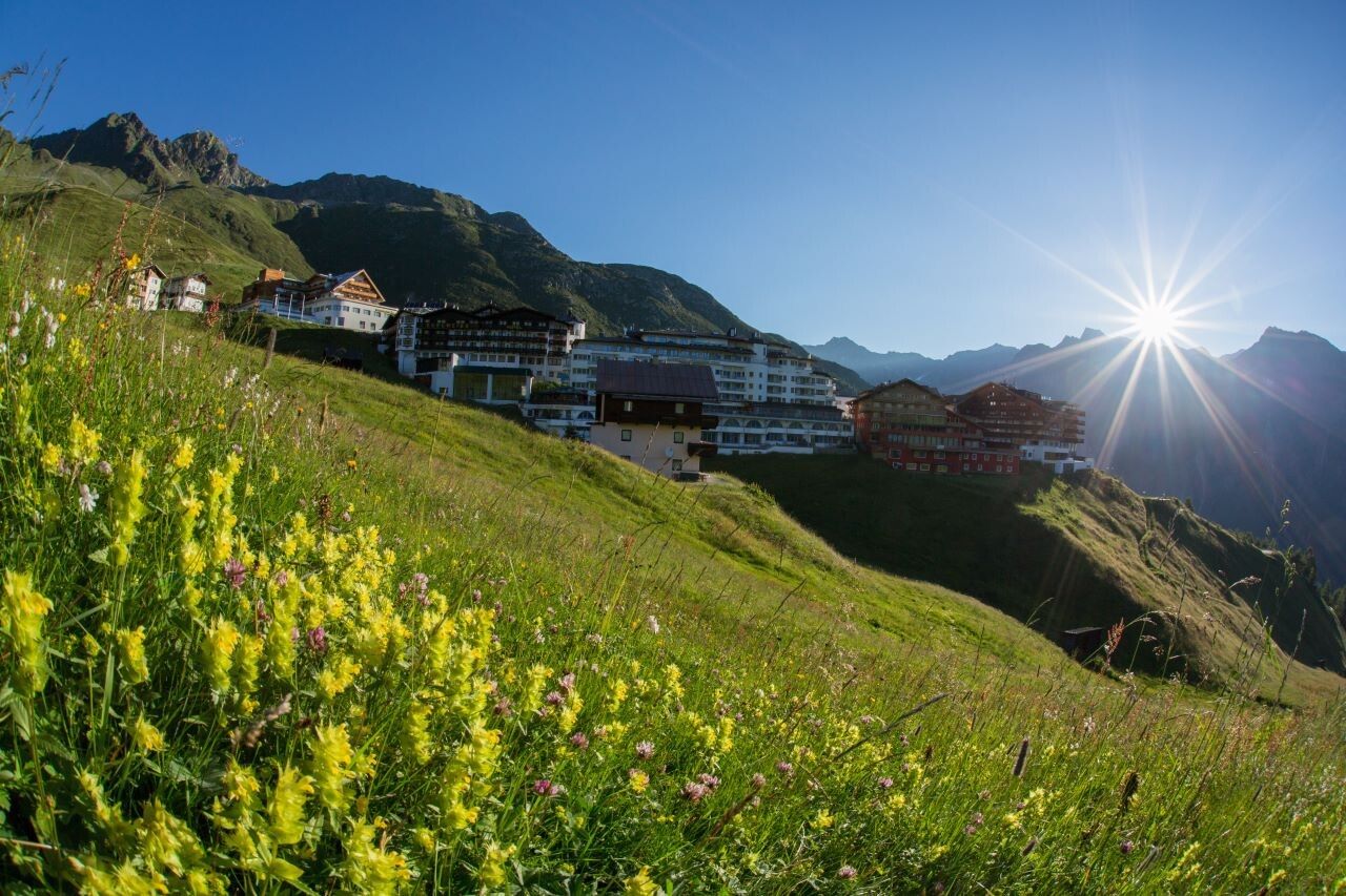
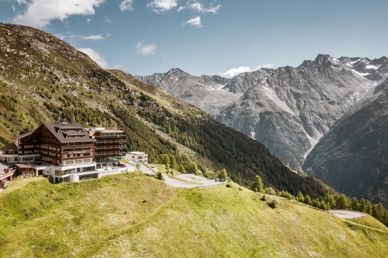
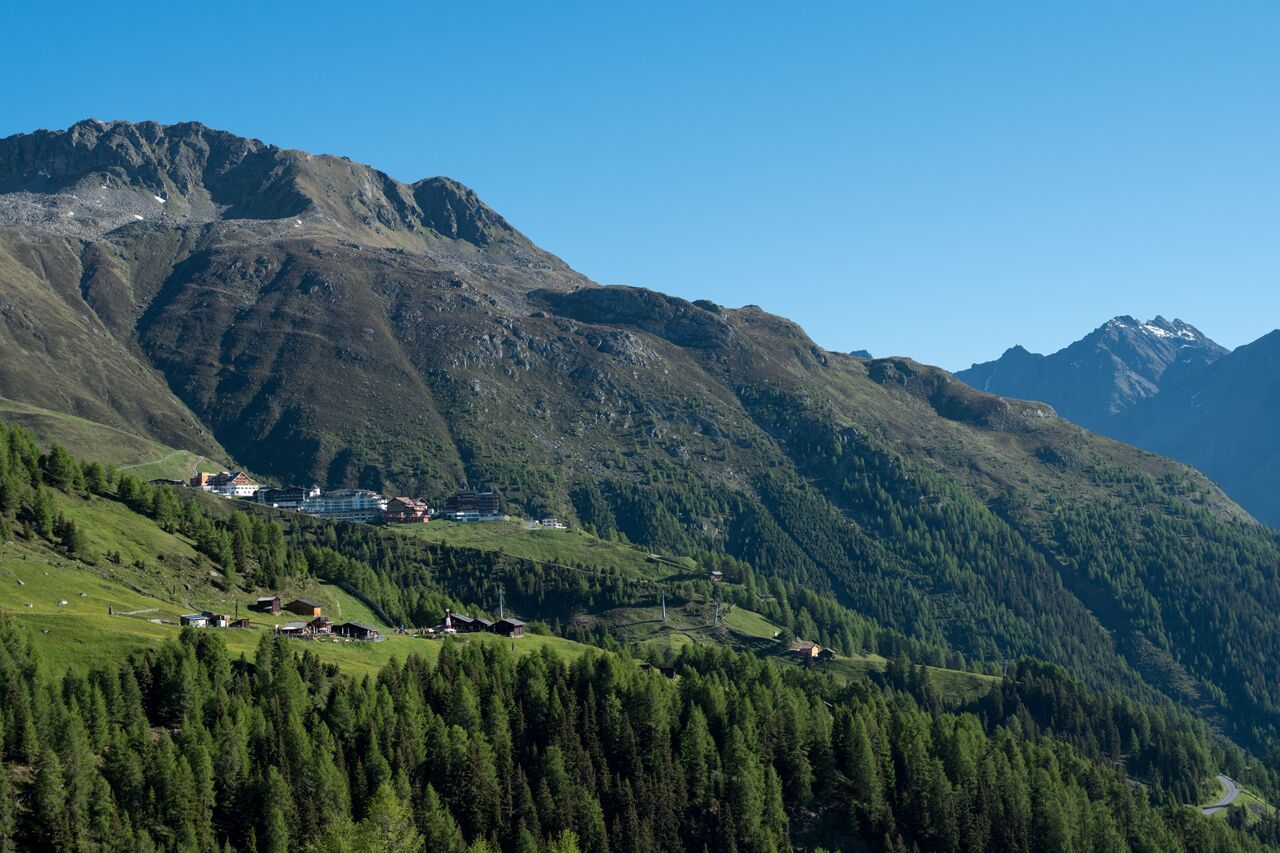
Place:Hochsölden
:Restaurant, Alpine pasture / hut / mountain restaurant
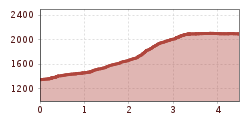
SÖLDEN -> HOCHSÖLDEN
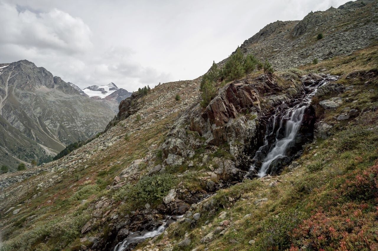
Red mountain trails are moderately difficult: some narrow and steep but secured walking and climbing sections await hikers. The corresponding signs are on a yellow background and feature a red circle as the difficulty indicator.
Moderately difficult mountain path; suitable for sure-footed and experienced mountain hikers; Good physical condition, mountain experience, and mountain equipment (see under Equipment) necessary.Please check the current weather report at: www.oetztal.com/de/sommer.html
Appropriate equipment such as breathable and weather-appropriate outdoor clothing, ankle-high hiking boots, wind, rain and sun protection, a cap, and possibly gloves is required for all hikes and routes. It is necessary to carry a first aid kit, a mobile phone, and possibly a hiking map, as well as sufficient provisions for hikes without the possibility of stopping for food.
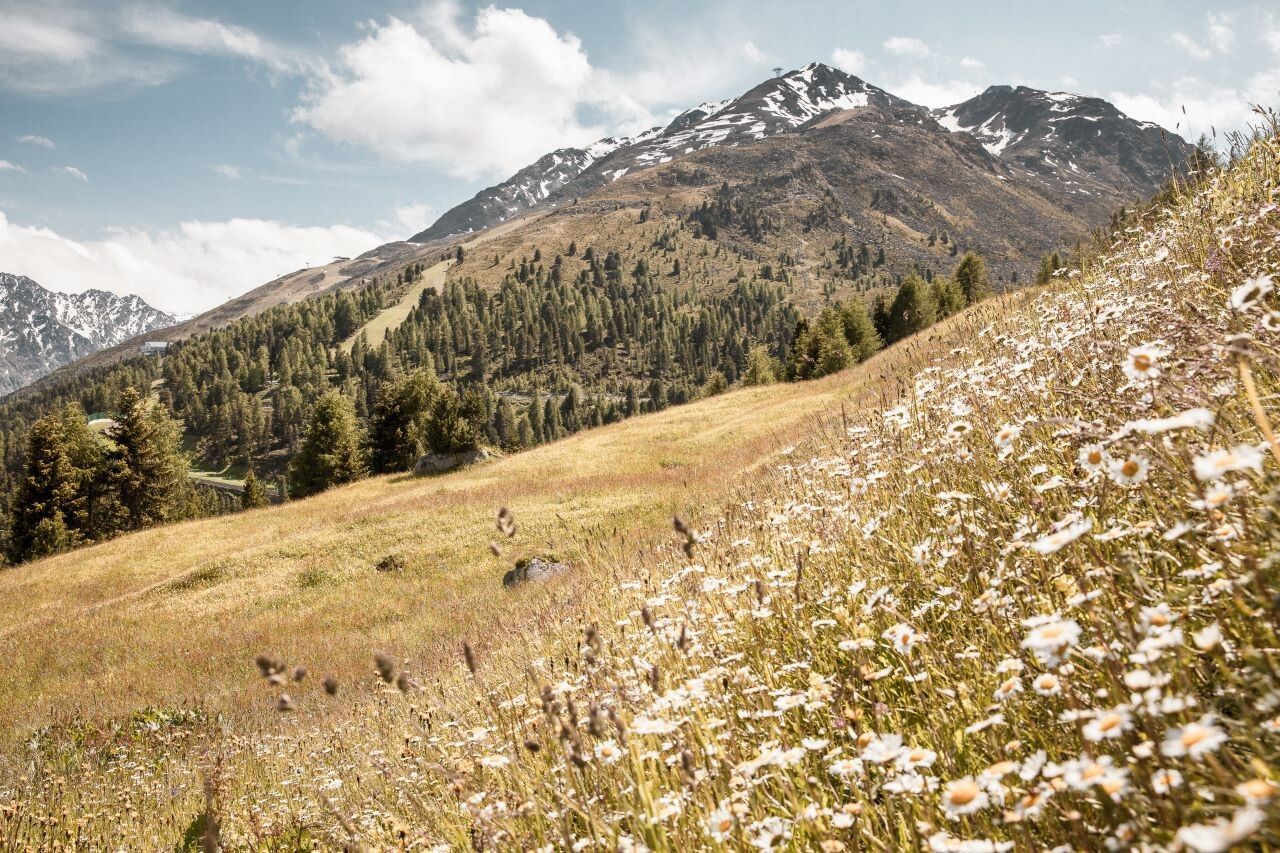
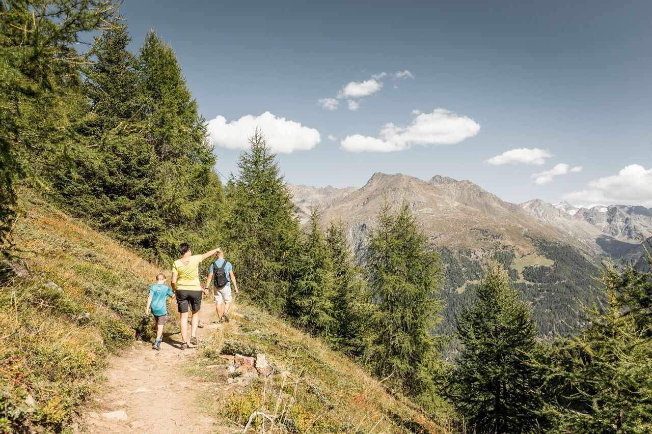
Overall, this route develops into a not too difficult, rewarding family hike in the Tyrolean Ötztal.
On this route, which starts behind the church, you hike via the district of Plödern further up to the alpine pastures. Past Gampe Thaya/ Gampe Alm, it continues towards Hochsölden.
Alternative route via Hainbach, Grünwald, Maria's Alm to Hochsölden.
Travel comfortably and safely by train to the Ötztal station. The final stop or exit point is the ÖTZTAL station. Then you can conveniently and quickly travel by public transport or local taxi companies through the entire valley to your desired destination.The current bus timetable is available at: fahrplan.vvt.at
The following parking options are available in Sölden:
The parking spaces are subject to charges.
For parking over several days (e.g., hut route):


