
Opening hours:Open today
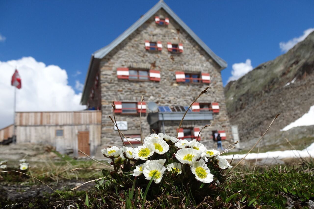
Place:Obergurgl
:Alpine pasture / hut / mountain restaurant
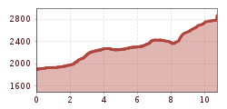
OBERGURGL -> Zirbenwald -> Schönwieshütte -> Langtalereckhütte -> HOCHWILDEHAUS
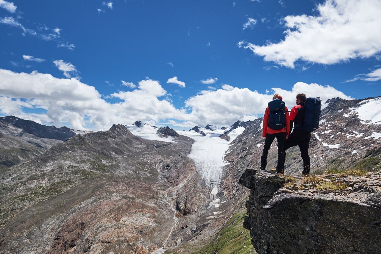
Suitable for those without fear of heights, sure-footed, and alpine experienced mountaineers. Very good physical condition, alpine experience, and mountain equipment (see under Equipment), sometimes alpine safety gear, good weather conditions recommended.
Please check the current weather report at: www.oetztal.com/de/sommer.html
Appropriate equipment such as breathable and weather-appropriate outdoor clothing, ankle-high hiking boots, wind, rain and sun protection, a hat, and possibly gloves is required for all hikes and routes. Carrying a first aid kit, a mobile phone, and possibly a hiking map, as well as sufficient provisions for hikes without the possibility of refreshments, is necessary.
From Obergurgl center via the Zirbenwald to the serviced Schönwieshütte.
From there, the track first slightly downhill to the Gurgler Alm (an 8,000-year-old cultural landscape). From there, valley inward, ascending to the Langtalereckhütte.
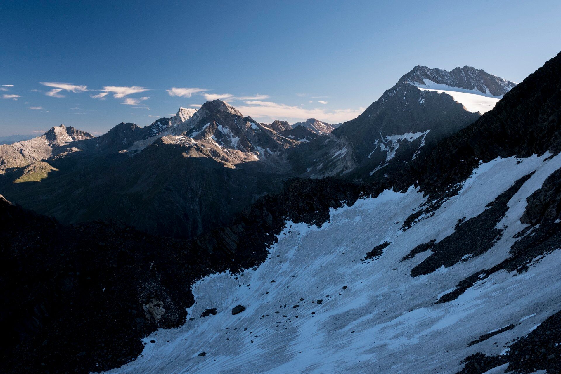
From the Langtalereckhütte follow the signposted "Klettersteig Schwärzenkamm-Hochwildehaus" southwards into the Langtal. Right downhill to a green iron bridge and then upwards on the Hochwildeweg, past the junction to the climbing path, and steeper over partly secured path sections around the northern ridges of the Schwärzenkamm into the wide basin of the Gurgler Ferner. Continue on a moraine ridge southwards to the Steinernen Tisch and finally slightly uphill eastwards to the Hochwildehaus.
Due to irreparable damage, the Hochwildehaus remains closed until further notice.
Travel comfortably and safely by train to the Ötztal train station. The final stop or exit point is the ÖTZTAL train station. Afterwards, you can conveniently and quickly travel through the entire valley to your desired destination using public transportation or local taxi companies! The current bus schedule is available at: http://fahrplan.vvt.at
The following parking options are available in Gurgl:


 neu.jpg")


")


 (1).jpg")

.jpg")

")


