
Opening hours:Open today
Place:
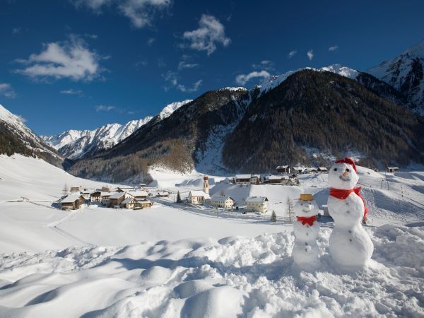
Niederthai
:
Restaurant
SENNHOFF CAR PARK->District Höfle->District Bichl->PLATTE
Please note the current snow and avalanche report for the coming days:
https://www.oetztal.com/de/winter.html & https://avalanche.report/albina-web/bulletin/2019-01-07?lang=de
Appropriate equipment such as breathable and weather-appropriate outdoor clothing, wind, rain, snow and sun protection, hat and gloves, is required for all hikes and routes. Carrying a first aid kit, a mobile phone and possibly a route map, as well as sufficient provisions if there are no dining options on the routes, is necessary.
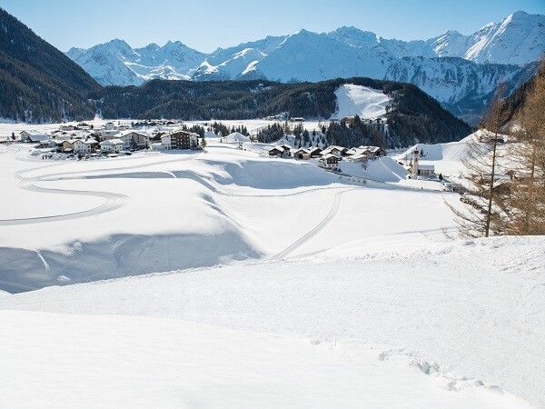
From the Sennhof car park (next to the information), you walk over the wooden bridge, past the fire station on the left, slightly uphill and then straight ahead to the district of Höfle. From there, you head right slightly uphill to the district of Bichl, at the curve you can take a look at the panorama board and enjoy the first view. At the top, another magnificent panoramic view opens up. The last part then leads up to the "Platte" with a view of Umhausen. The easy hike is also very suitable for families with strollers/buggies.
Travel comfortably and safely by train to the Ötztal station. The final station or exit point is the ÖTZTAL station. Then you can travel conveniently and quickly by public transport or local taxi companies through the entire valley to your desired destination! The current bus timetable is available at: http://fahrplan.vvt.at
Sennhof Parking Lot
The parking lot is subject to fees from 7:00 am to 6:30 pm and is operated year-round.


")
