
Opening hours:Today closed
Place:Obergurgl
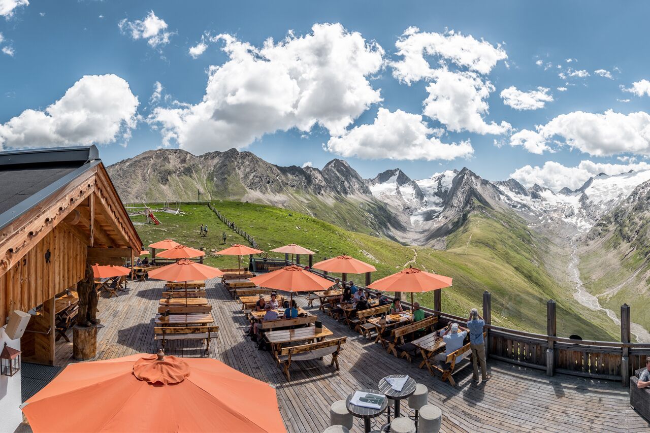
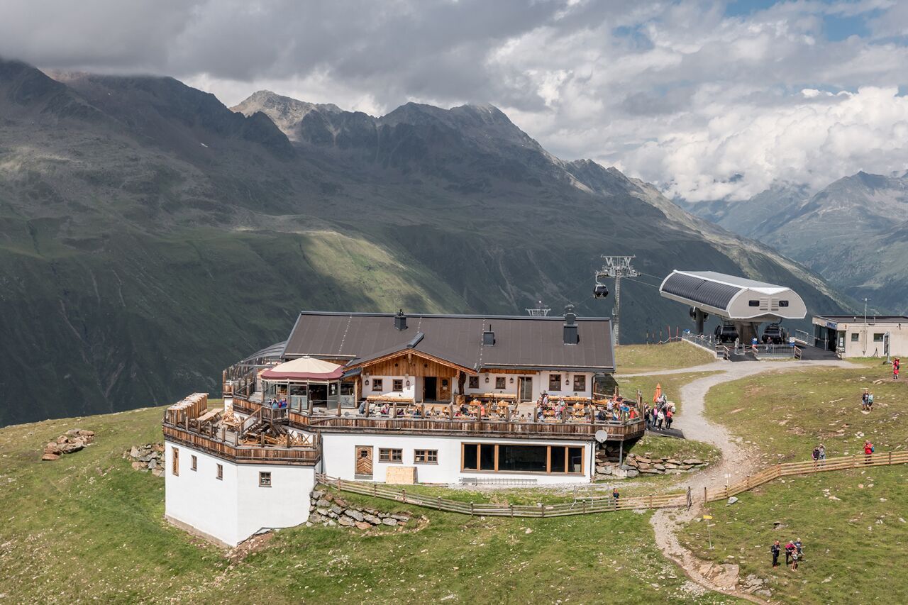
:Restaurant
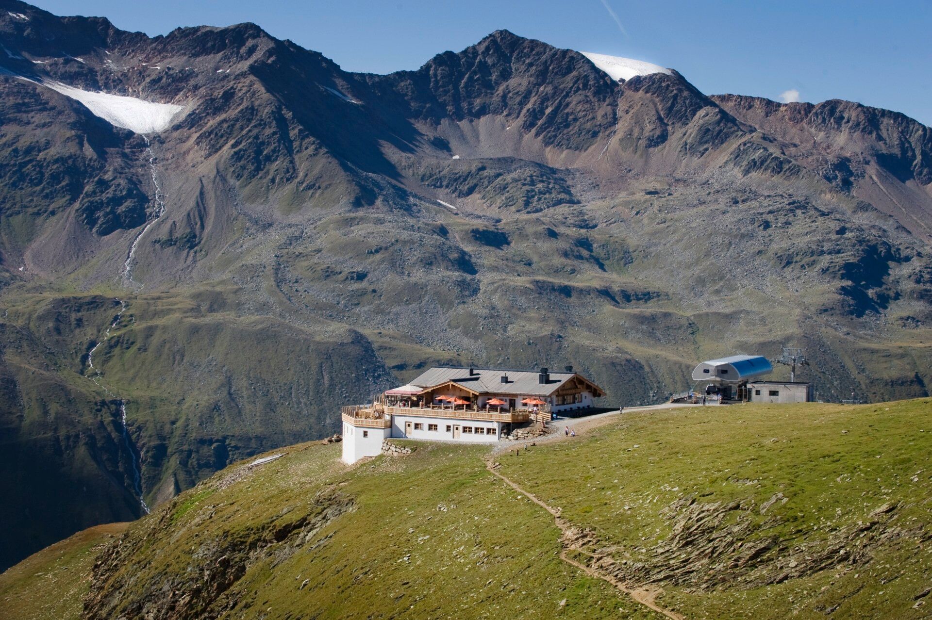
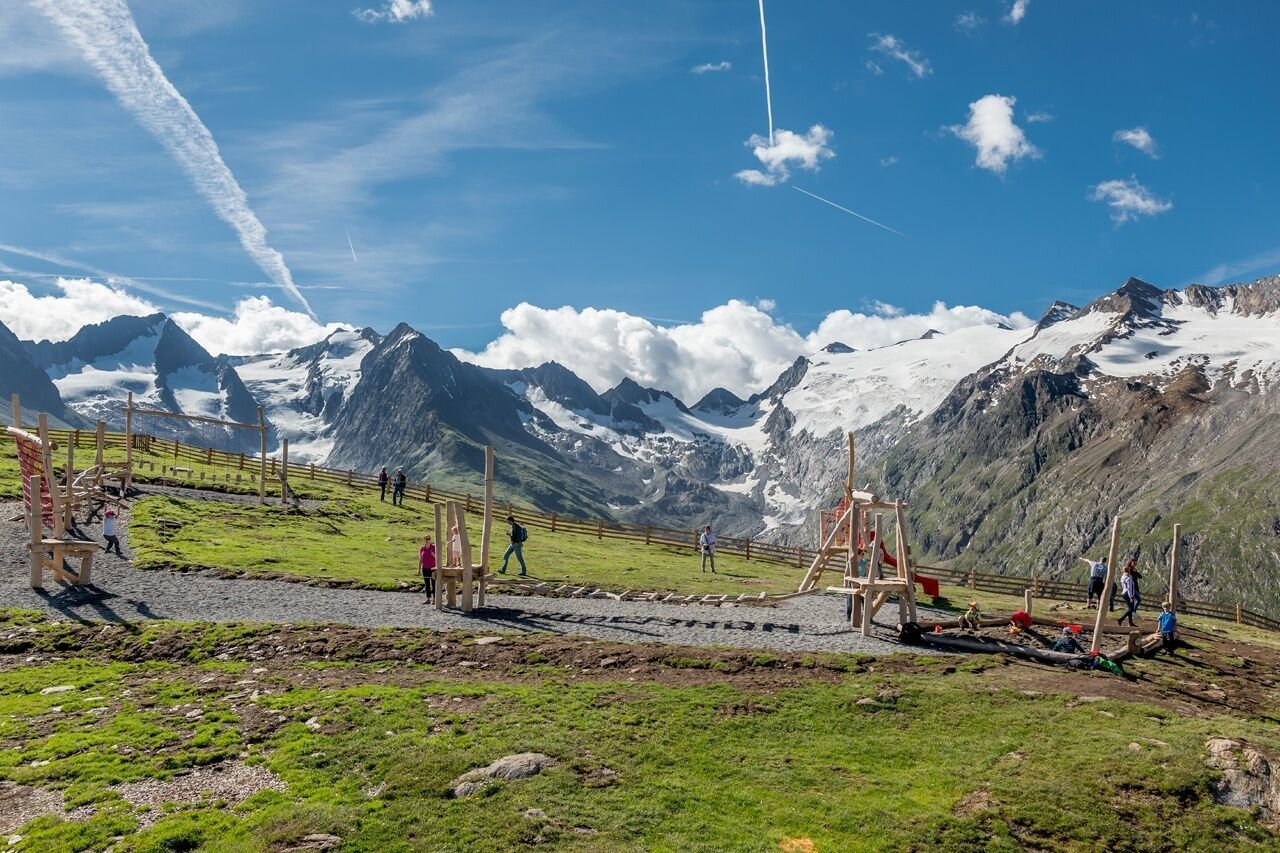
OBERGURGL -> Zirbenwald -> Rotmoos Waterfall -> Storage Pond -> Rotmoostal -> HOHE MUT ALM

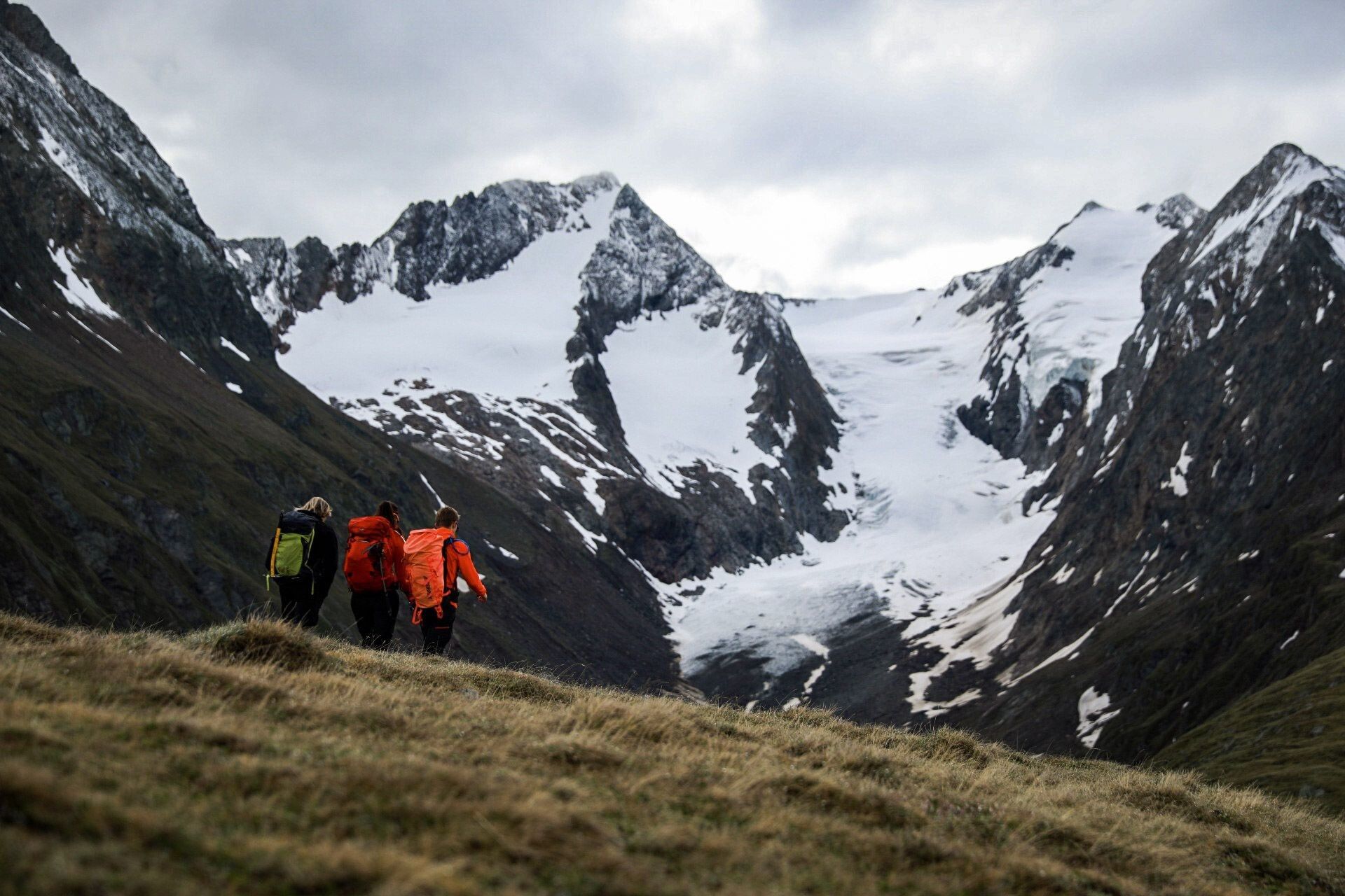
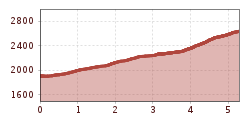
Moderate mountain path; suitable for sure-footed and experienced mountain hikers. Good physical condition, mountain experience, and mountain equipment (see under Equipment) necessary.
Please note the current weather report at: https://www.oetztal.com/de/winter.html.
Wearing hiking equipment such as breathable and weather-appropriate outdoor clothing, ankle-high hiking boots, wind, rain and sun protection, a hat and possibly gloves is recommended! It is also important to bring sufficient provisions as well as a first aid kit, a mobile phone, and possibly a hiking map.
From Obergurgl center to the end of the village. From there, follow the hiking trail south towards the Zirbenwald. Through the Zirbenwald, past the Rotmoos waterfall. Then follow the gravel path towards Rotmoostal. At the entrance to Rotmoostal, turn left up the mountain path to Hohe Mut (Alm).
Travel comfortably and safely by train to the Ötztal station. The final stop or exit point is the ÖTZTAL station. Afterwards, you can easily and quickly travel through the entire valley to your desired destination with public transport or local taxi companies! The current bus schedule is available at: http://fahrplan.vvt.at
The following parking options are available in Gurgl:


")


